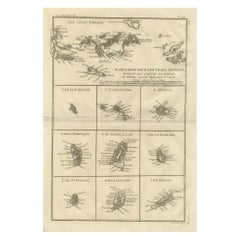
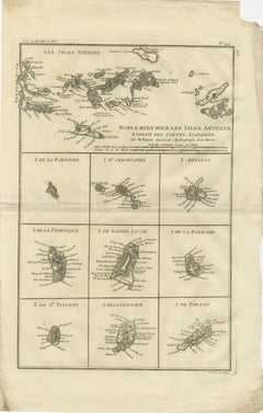
Antique Caribbean Map — Virgin Islands and Antilles Atlas Sheet, Bonne c.1780
$455
H 16.15 in W 10.24 in D 0.01 in
Antique Caribbean Map — Virgin Islands and Antilles Atlas Sheet, Bonne c.1780
Located in Langweer, NL
Framing tips: Particularly effective in a dark walnut or black frame with an ivory or warm off-white mat; the composite layout lends itself well to museum-style presentation, allowin...
Category
Antique Late 18th Century French Maps
Materials
Paper