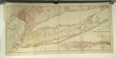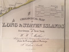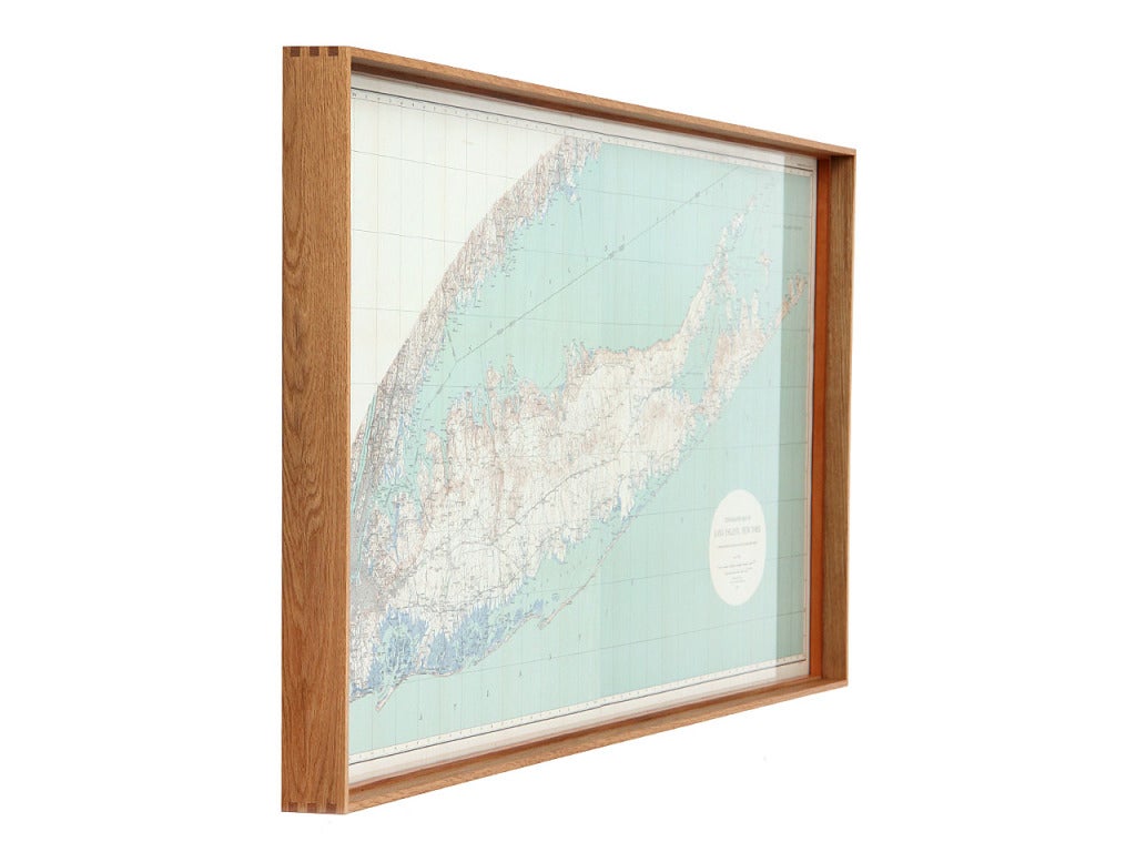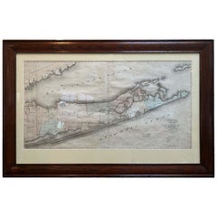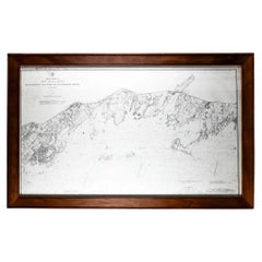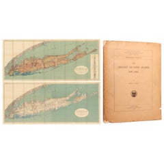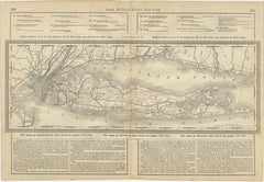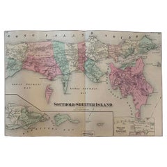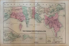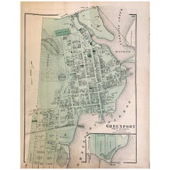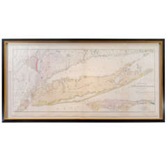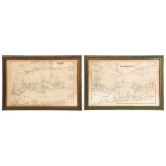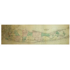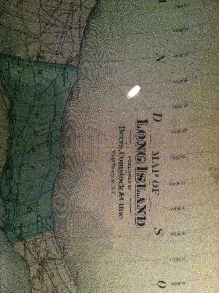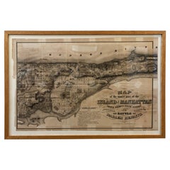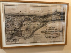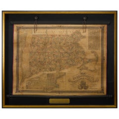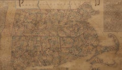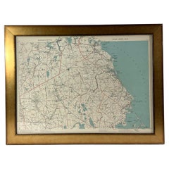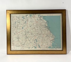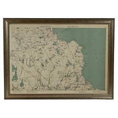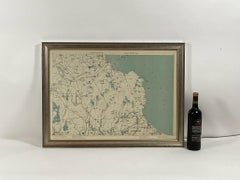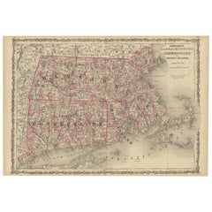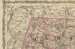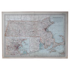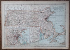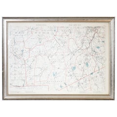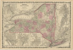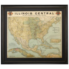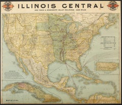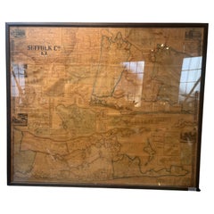
Framed Mid-19th Century Wall Map of Long Island, the Hamptons
Located in Sag Harbor, NY
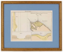
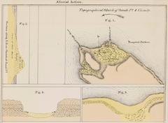
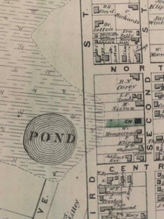
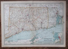
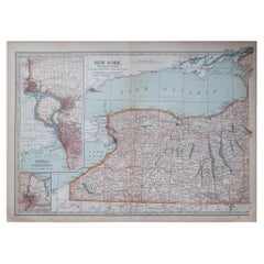
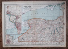
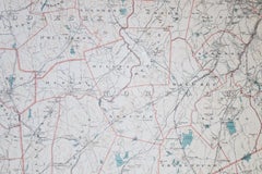
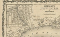
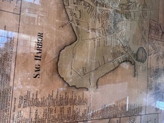
A Framed museum quality find. This large wall map dates to the mid-1800s. Detailed inset maps of, Sag Harbor, East Hampton, Amagansett, Shelter Island and most villages in Long Island.
Category
Mid-19th Century American Antique Maps Of Long Island
Materials
Linen, Paper