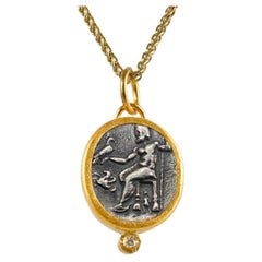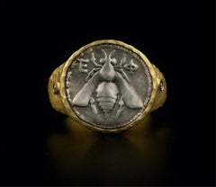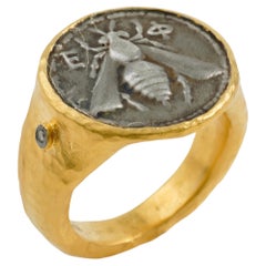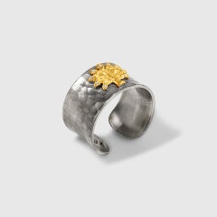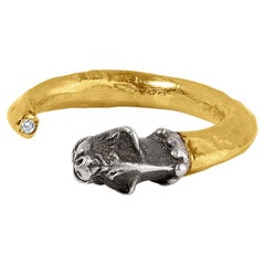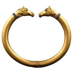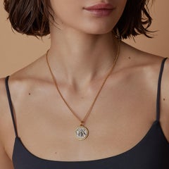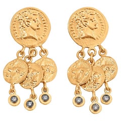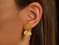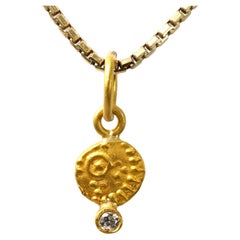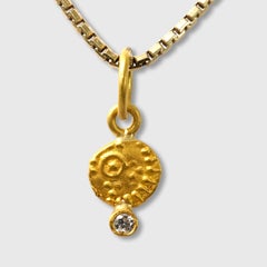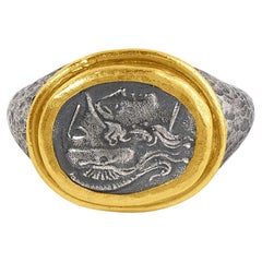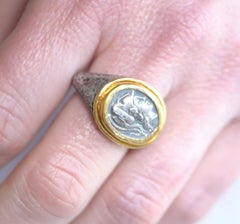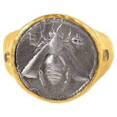

Ancient Greek Mythology Honey Bee SS Replica Coin Ring 24K Gold Diamonds Size7.5
By Kurtulan
Located in Bozeman, MT
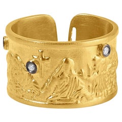
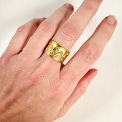
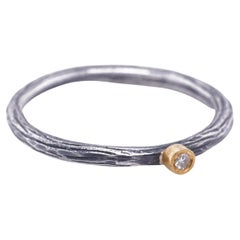
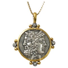
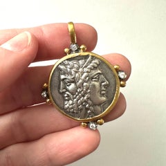
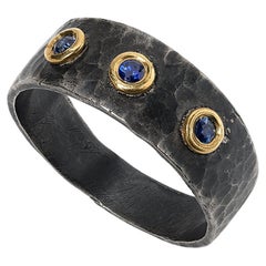
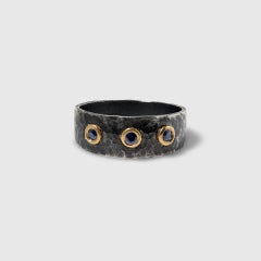
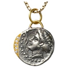
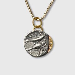
Ancient Greek Honey Bee Coin (Sterling Replica) Statement Cocktail Ring, Mythology, 24k Gold Fused, Sterling. *The statement coin is a sterling silver replica with 24k yellow gold-f...
Category
21st Century and Contemporary Turkish Contemporary Montana
Materials
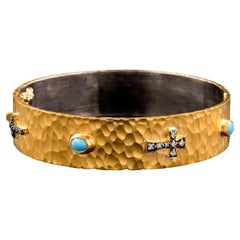
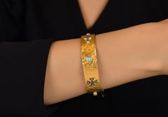
Diamond, Gold, 24k Gold, Yellow Gold, Silver, Sterling Silver