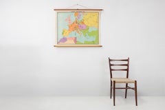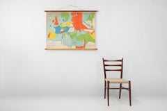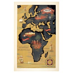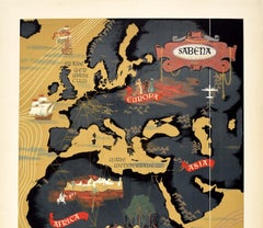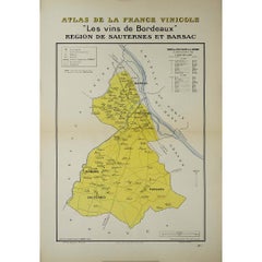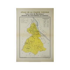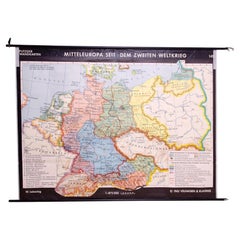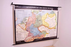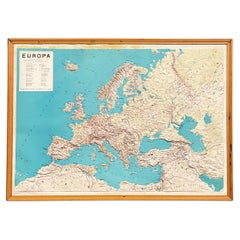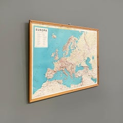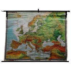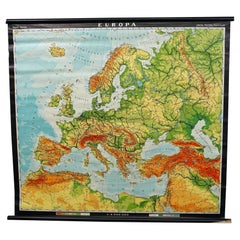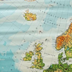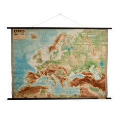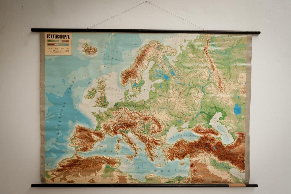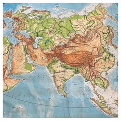
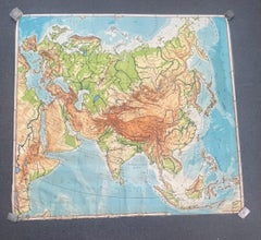
Huge Europe and Asia Vintage Wall Map
Located in San Diego, CA
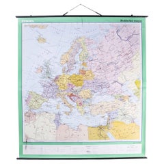
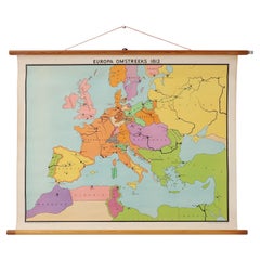
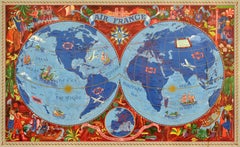
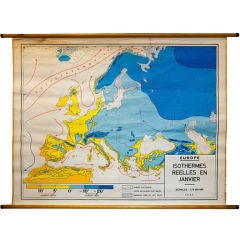
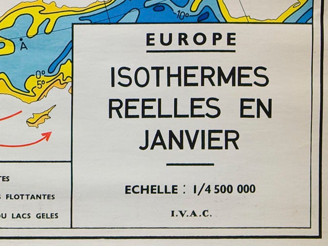
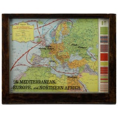
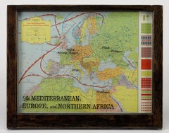
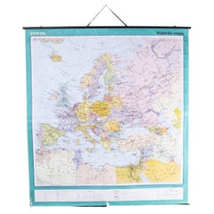
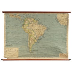
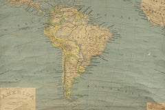
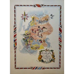
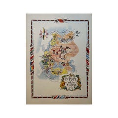
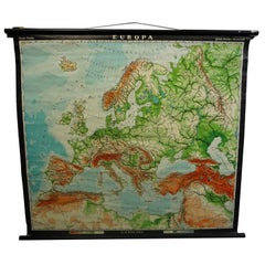
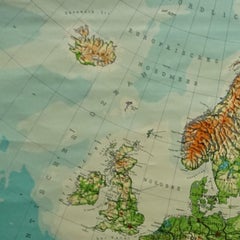
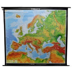
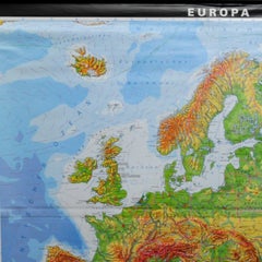
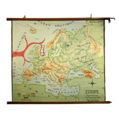
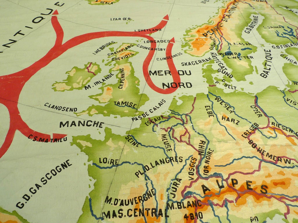
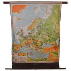
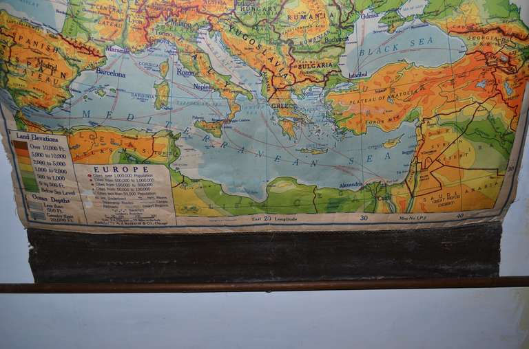
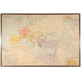
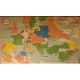
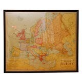
A huge Europe and Asia vintage wall map, circa 1950s. The map is in fair vintage condition and measures 78"W x 73"H". #2863
Category
Mid-20th Century American Vintage Europe Map
Materials
Paper