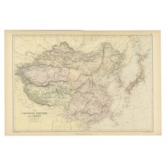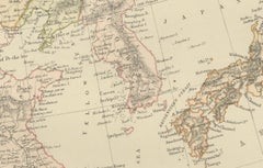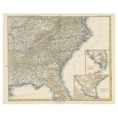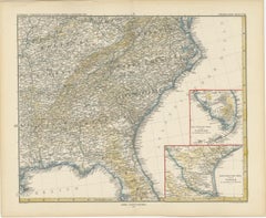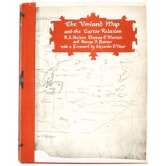
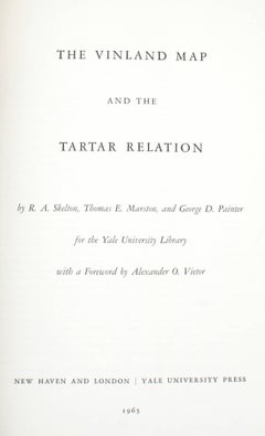
Vinland Map and the Tartar Relation
By R.A. Skelton, George D. Painter, Thomas E. Marston
Located in valatie, NY
The Vinland Map and the Tartar Relation. New Haven: Yale University Press, 1965. First edition third printing hardcover with dust jacket. 291 pp. A historical cartography of the Vinl...
Category
20th Century American RA Skelton
Materials
Paper