Items Similar to Antique Map of the United Kingdom and Ireland, c.1873


Want more images or videos?
Request additional images or videos from the seller
1 of 6
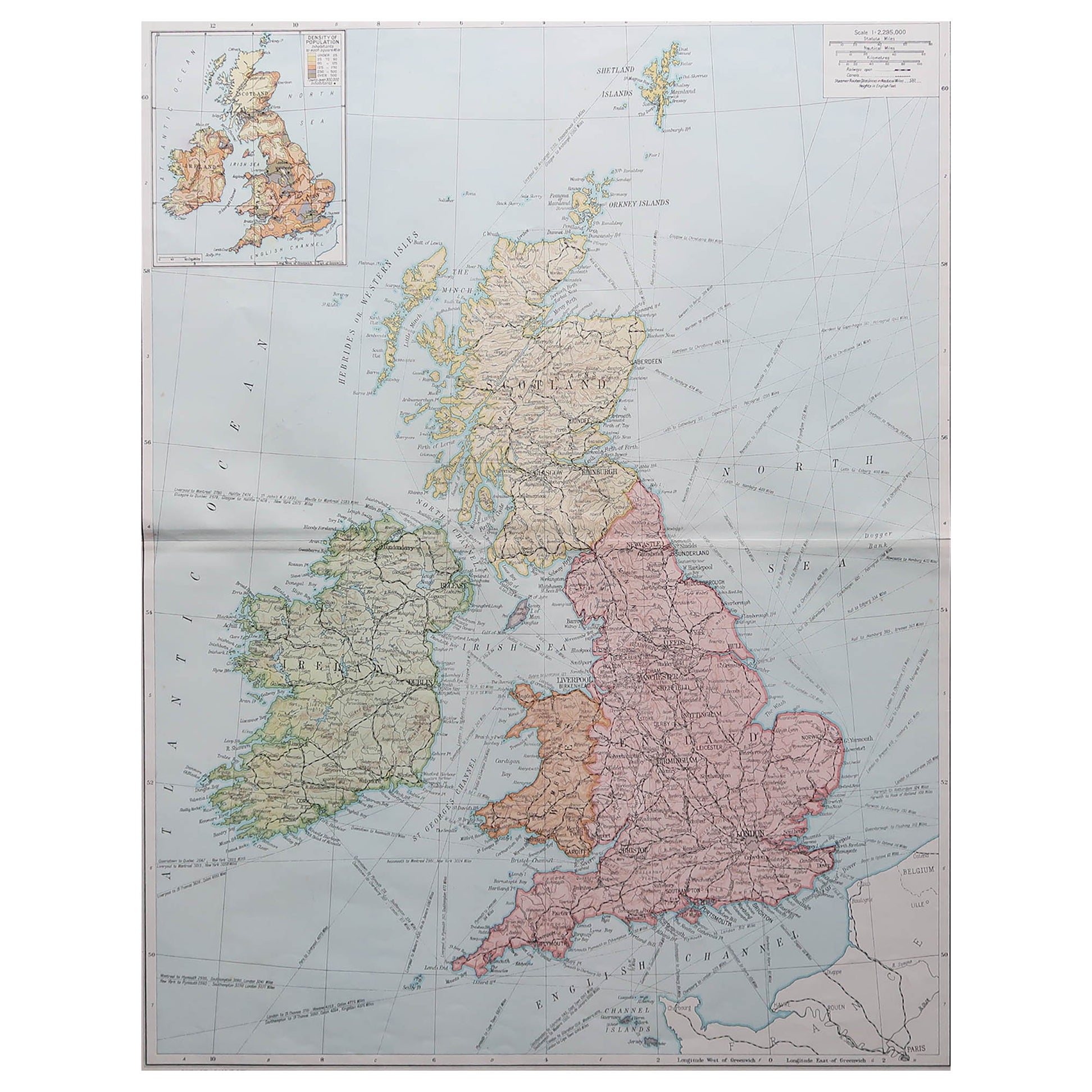
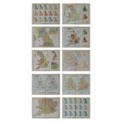
Antique Map of the United Kingdom and Ireland, c.1873
About the Item
Antique map titled 'Groot Brittanje en Ierland'. Old map depicting the United Kingdom and Ireland, with inset maps of London and factory districts of the UK. This map originates from 'School-Atlas van alle Deelen der Aarde'.
Artists and Engravers: Published by O. Petri, Rotterdam.
Condition: Good, general age-related toning. Split on folding line, please study image carefully.
Date: c.1873
Overall size: 26 x 32.9 cm.
Image size: 22.3 x 29.8 cm.
We sell original antique maps to collectors, historians, educators and interior decorators all over the world. Our collection includes a wide range of authentic antique maps from the 16th to the 20th centuries. Buying and collecting antique maps is a tradition that goes back hundreds of years. Antique maps have proved a richly rewarding investment over the past decade, thanks to a growing appreciation of their unique historical appeal. Today the decorative qualities of antique maps are widely recognized by interior designers who appreciate their beauty and design flexibility. Depending on the individual map, presentation, and context, a rare or antique map can be modern, traditional, abstract, figurative, serious or whimsical.
- Dimensions:Height: 12.96 in (32.9 cm)Width: 10.24 in (26 cm)Depth: 0 in (0.01 mm)
- Materials and Techniques:
- Period:
- Date of Manufacture:circa 1873
- Condition:Condition: Good, general age-related toning. Split on folding line, please study image carefully.
- Seller Location:Langweer, NL
- Reference Number:
About the Seller
5.0
Platinum Seller
These expertly vetted sellers are 1stDibs' most experienced sellers and are rated highest by our customers.
Established in 2009
1stDibs seller since 2017
1,919 sales on 1stDibs
Typical response time: <1 hour
- ShippingRetrieving quote...Ships From: Langweer, Netherlands
- Return PolicyA return for this item may be initiated within 14 days of delivery.
More From This SellerView All
- Antique Map of the United Kingdom and Ireland, 1852Located in Langweer, NLAntique map titled 'Groot-Brittanje en Ierland'. Map of the United Kingdom and Ireland. This map originates from 'School-Atlas van alle deelen der Aarde' by Otto Petri. Artists a...Category
Antique 19th Century Maps
MaterialsPaper
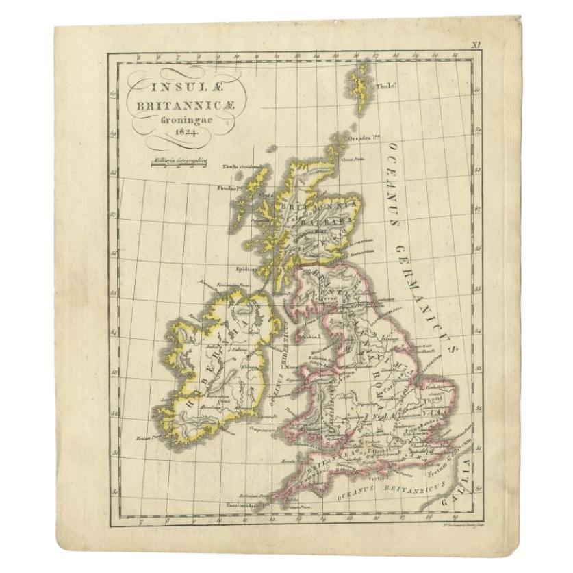
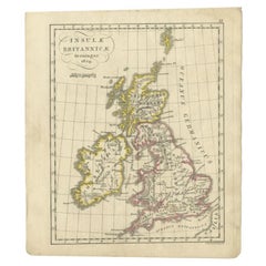
- Antique Map of the United Kingdom and Ireland, circa 1825Located in Langweer, NLAntique map titled 'Insula Britannicae'. Old map of the United Kingdom and Ireland originating from 'Atlas der Oude Wereld'. Artists and Engravers: Published by C. Ph. Funke and W. v...Category
Antique 19th Century Maps
MaterialsPaper
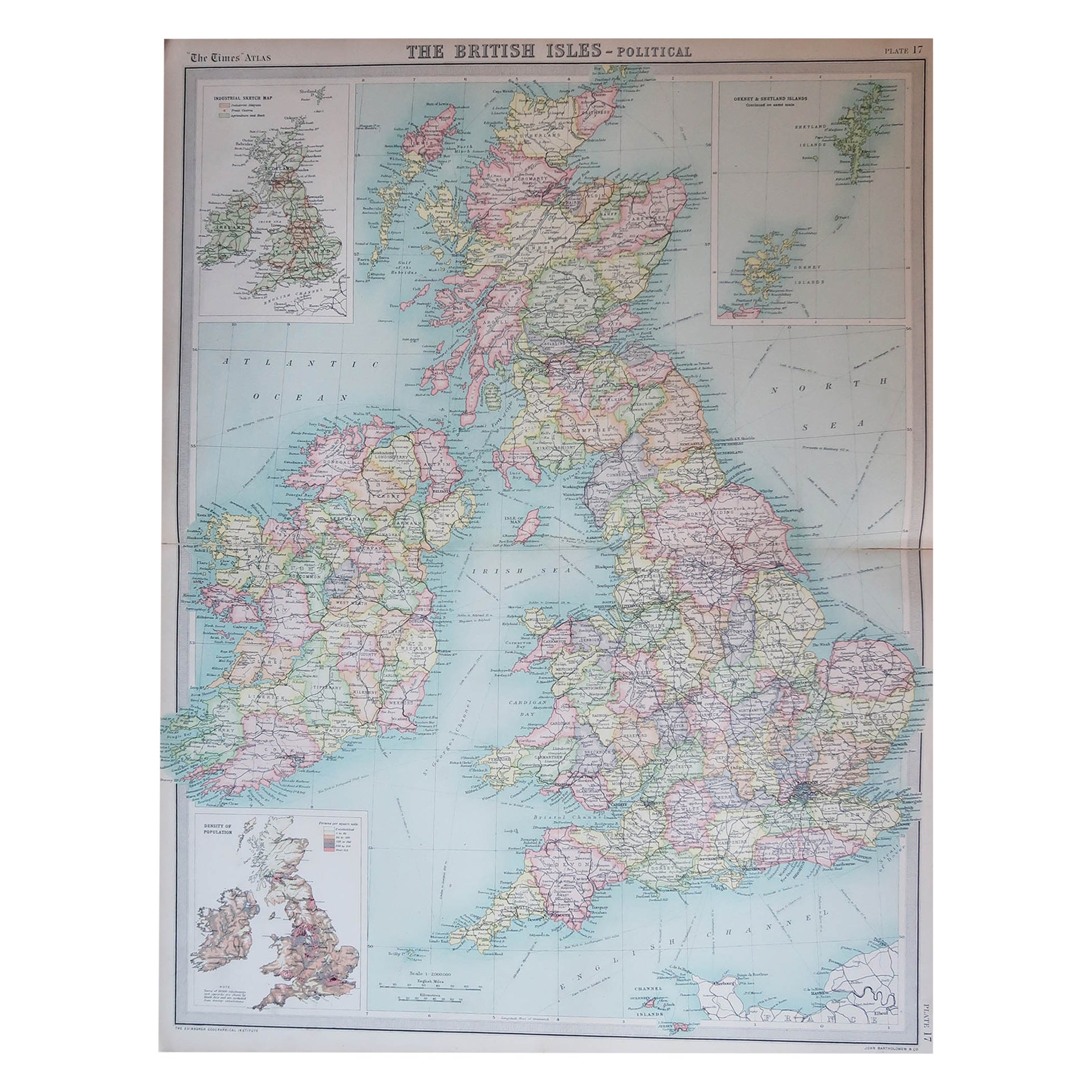
- Original Antique Map of the United Kingdom and Ireland, Published in 1875Located in Langweer, NLAntique map titled 'Iles Britanniques ou Royaume-Uni de la Grande Bretagne (..)'. Large map of the United Kingdom and Ireland. This map originates from...Category
Antique Late 19th Century Maps
MaterialsPaper
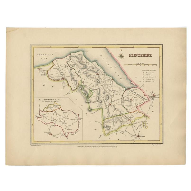
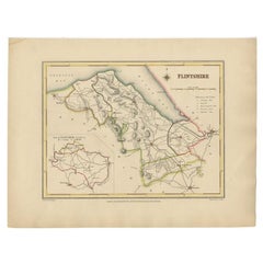
- Antique Map of Flintshire in Wales, United Kingdom, c.1850Located in Langweer, NLAntique map titled 'Flintshire'. Antique map of Flintshire with a inlay plan of Flintshire town. Flintshire is a principal area of Wales, known as a county, United Kingdom. Drawn and...Category
Antique 19th Century Maps
MaterialsPaper
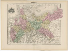
- Antique Map of the Kingdom of Prussia, 1880Located in Langweer, NLAntique map titled 'Prusse'. Old map of the Kingdom of Prussia, with a decorative vignette of the gate of Brandenburg, Berlin. This map originates from 'Géographie Universelle Atlas-...Category
Antique 19th Century Maps
MaterialsPaper
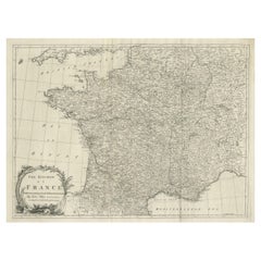
- Large Antique Map of the Kingdom of FranceLocated in Langweer, NLAntique map titled 'The Kingdom of France (..)'. Large antique map of the Kingdom of France. Engraved by T. Kitchin. Published J. Blair, circa 1779.Category
Antique Late 18th Century Maps
MaterialsPaper


You May Also Like
- Large Original Vintage Map of the United Kingdom, circa 1920Located in St Annes, LancashireGreat map of The United Kingdom Unframed Original color By John Bartholomew and Co. Edinburgh Geographical Institute Published, circa 1920 Free shipping.Category
Vintage 1920s British Maps
MaterialsPaper
- Large Original Vintage Map of The United Kingdom, circa 1920Located in St Annes, LancashireGreat map of The United Kingdom Original color. Published by Alexander Gross Unframed.Category
Vintage 1920s English Maps
MaterialsPaper
- Set of 10 Large Scale Vintage Maps of The United Kingdom, circa 1900Located in St Annes, LancashireGreat set of maps of the UK Lithographs. By John Bartholomew & Co. Published by The Edinburgh Geographical Institute Unframed. The measurement ...Category
Antique Early 1900s English Maps
MaterialsPaper
- Map of the Kingdom of Sardinia and Part of the Kingdom of Genoa, RomeBy Giovanni Maria CassiniLocated in Hamilton, Ontario18th century map by Italian engraver Giovanni Maria Cassini (Italy 1745-1824). Map of Part of the Kingdom of Sardinia and Part of the Kingdom of Genoa: Rome. This is a hand colored a...Category
Antique 18th Century Italian Maps
MaterialsPaper
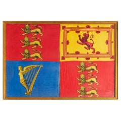
- Antique Royal Standard of the United Kingdom in Giltwood Frame and Under GlassLocated in Morristown, NJAn antique Royal Standard of the United Kingdom, possibly by Benjamin Edgington, London. The fabric is in a giltwood frame under glass. Each of the four quadrants on the flag represe...Category
Antique 1830s English British Colonial Historical Memorabilia
MaterialsFabric, Glass, Wood
- Large Original Antique Map of the United States of America. 1891By Rand McNally & Co.Located in St Annes, LancashireFabulous map of The United States Original color By Rand, McNally & Co. Dated 1891 Unframed Free shipping.Category
Antique 1890s American Maps
MaterialsPaper


Recently Viewed
View AllMore Ways To Browse
Vintage Butcher Shop Posters
Papua New Guinea Antique Map
Montenegro Antique Map
Australasia Antique Map
Buenos Ayres
Carte Egypte Antique
Charlotte Reine
The Grand Mogol
Antique Map Colorado
William Dampier
Antique Map Of Lapland
Mauritius Antique Map
Dan Rizzi
Antique Map Austro Hungarian
Formosa Vintage Map
Georgetown Map
Guatemala Antique Map
Manchester Antique Map