Samuel Augustus Mitchell Wall Decorations

to
1
1
Height
to
Width
to
1
1
1
1
1
1
1
1
401
294
245
154
Creator: Samuel Augustus Mitchell
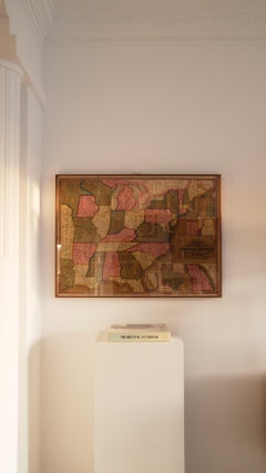
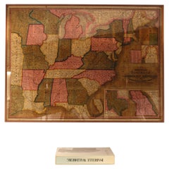
Mitchell's Fold-Out Map of the American Republic with Route-Book, Mid-19th C.

Mitchell's Fold-Out Map of the American Republic with Route-Book, Mid-19th C.

By Samuel Augustus Mitchell 1

Located in BARCELONA, ES

Rare mid-19th century American travel and cartographic publication by geographer and publisher Samuel Augustus Mitchell (1792–1868), accompanied by a large hand-colored fold-out map ...

Category

Mid-19th Century American Craftsman Antique Samuel Augustus Mitchell Wall Decorations

Materials

Leather, Paper

Related Items
19th C. Pair of Watercolors, American School

19th C. Pair of Watercolors, American School

$3,250 / set

H 15 in W 12.5 in D 1 in

19th C. Pair of Watercolors, American School

Located in Kittery Point, ME

Western Wild Birds, each monogrammed ES lower left. Watercolor on Paper.  

Category

19th Century American Antique Samuel Augustus Mitchell Wall Decorations

Materials

Paper

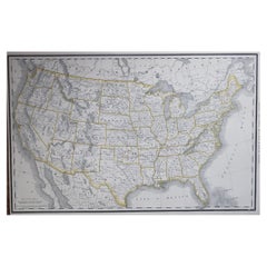
Large Original Antique Map of the United States of America. 1891

Large Original Antique Map of the United States of America. 1891

By Rand McNally & Co.

Located in St Annes, Lancashire

Fabulous map of The United States Original color By Rand, McNally & Co. Dated 1891 Unframed Free shipping.

Category

1890s American Antique Samuel Augustus Mitchell Wall Decorations

Materials

Paper

American Mid-Century Gold World Map Plaque

American Mid-Century Gold World Map Plaque

$1,250

H 25 in W 45 in D 2 in

American Mid-Century Gold World Map Plaque

Located in Queens, NY

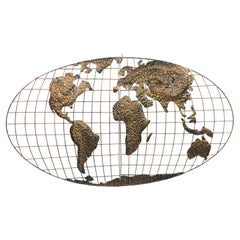
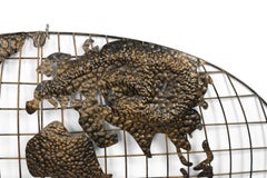
American mid-century oval shaped metal wall plaque map of the world with gold continents in relief against a black grid.      

Category

20th Century American Mid-Century Modern Samuel Augustus Mitchell Wall Decorations

Materials

Metal, Gold

Antique, Hand Colored Map of Washington, D.C., 19th Century

Antique, Hand Colored Map of Washington, D.C., 19th Century

$1,016Sale Price|20% Off

H 1,525 in W 12.25 in D 0.2 in

Antique, Hand Colored Map of Washington, D.C., 19th Century

Located in Houston, TX

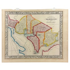
Antique map of Washington, D.C. carefully hand colored bringing warmth and charm to the engraving. This map features the city's distinguished layout as designed by urban planner Pie...

Category

19th Century American American Classical Antique Samuel Augustus Mitchell Wall Decorations

Materials

Paint, Paper

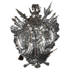
Mid 19th Century Coat Of Arms

Mid 19th Century Coat Of Arms

$4,950

H 39.5 in W 29.5 in D 2.5 in

Mid 19th Century Coat Of Arms

Located in New York, NY

Hand-picked by buyers at Ann-Morris Inc.

Category

Mid-19th Century English Antique Samuel Augustus Mitchell Wall Decorations

Materials

Cut Steel

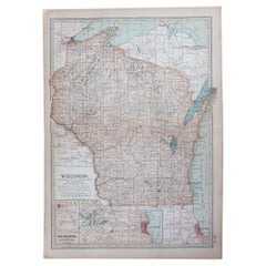
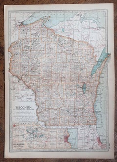
Original Antique Map of the American State of Wisconsin, 1903

Original Antique Map of the American State of Wisconsin, 1903

Located in St Annes, Lancashire

Antique map of Wisconsin Published By A & C Black. 1903 Original colour Good condition Unframed. Free shipping

Category

Early 1900s English Antique Samuel Augustus Mitchell Wall Decorations

Materials

Paper

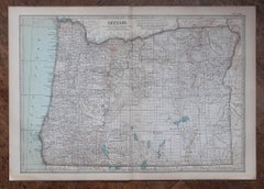
Original Antique Map of the American State of Oregon, 1903

Original Antique Map of the American State of Oregon, 1903

Located in St Annes, Lancashire

Antique map of Oregon Published By A & C Black. 1903 Original colour Good condition Unframed. Free shipping

Category

Early 1900s English Antique Samuel Augustus Mitchell Wall Decorations

Materials

Paper

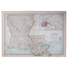
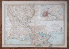
Original Antique Map of the American State of Louisiana, 1903

Original Antique Map of the American State of Louisiana, 1903

Located in St Annes, Lancashire

Antique map of Louisiana Published By A & C Black. 1903 Original colour Good condition Unframed. Free shipping

Category

Early 1900s English Antique Samuel Augustus Mitchell Wall Decorations

Materials

Paper

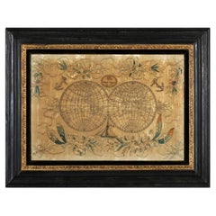
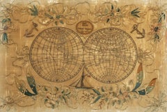
19th Century Embroidered Silk Panel Map Of The World

19th Century Embroidered Silk Panel Map Of The World

$4,500

H 25.75 in W 33.75 in D 1.5 in

19th Century Embroidered Silk Panel Map Of The World

Located in Forney, TX

A rare and visually striking framed antique European embroidered silk panel. Exquisitely hand-crafted in Continental Europe in the 19th ...

Category

19th Century European Victorian Antique Samuel Augustus Mitchell Wall Decorations

Materials

Silk, Thread

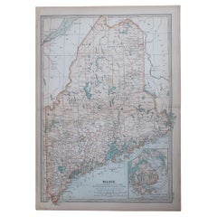
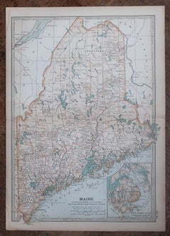
Original Antique Map of the American State of Maine, 1903

Original Antique Map of the American State of Maine, 1903

Located in St Annes, Lancashire

Antique map of Maine Published By A & C Black. 1903 Original colour Good condition Unframed. Free shipping

Category

Early 1900s English Antique Samuel Augustus Mitchell Wall Decorations

Materials

Paper

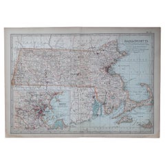
Original Antique Map of the American State of Massachusetts, 1903

Original Antique Map of the American State of Massachusetts, 1903

Located in St Annes, Lancashire

Antique map of Vermont and New Hampshire Published By A & C Black. 1903 Original colour Good condition Unframed. Free shipping

Category

Early 1900s English Antique Samuel Augustus Mitchell Wall Decorations

Materials

Paper

Previously Available Items
1858 "Mitchell's New National Map Exhibiting the United States" Hanging Wall Map

1858 "Mitchell's New National Map Exhibiting the United States" Hanging Wall Map

By Samuel Augustus Mitchell 1

Located in Colorado Springs, CO

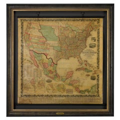
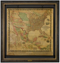
Presented is a beautifully engraved, large hanging wall map of the United States, Mexico, and West Indies by Samuel Augustus Mitchell. The map depicts the entire nation from the Atlantic to the Pacific Ocean. It also included inset maps of the “World on Mercator's Projection” and the “World on Globular Projection,” an inset of the Hawaiian Islands, distance and population tables, and more. First published in 1856, “Mitchell’s New National Map” was one of the most commercially successful maps of its time, regularly amended to update the changing territorial and state borders of the West. This specific map was published in Philadelphia in 1858. The map presents a compelling picture of an evolving American West, capturing the fluidity of pre-Civil War territorial boundaries. Much changed in the few years surrounding the publication of this map as the 1850s were characterized by the drawing of territorial boundaries, the creation of new states, continued relocation campaigns against Native Americans, and the rise and fall of small-scale territorial rebellions. On this map we see New Mexico in its late 1850s form, with a lower strip labeled Arizona. The same year as the publication of this map, the New Mexico territorial legislature adopted a resolution in favor of the creation of the Arizona Territory...

Category

1850s American Antique Samuel Augustus Mitchell Wall Decorations
Materials

Paper

Samuel Augustus Mitchell wall decorations for sale on 1stDibs.

Samuel Augustus Mitchell wall decorations are available for sale on 1stDibs.