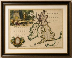
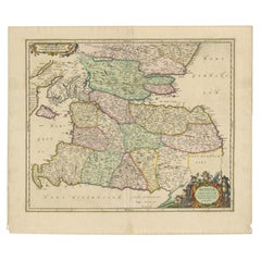
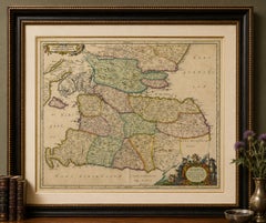
TITLE: Antique Map of Cambridgeshire & Cambridge by Joan Blaeu, Hand-Colored, 1645
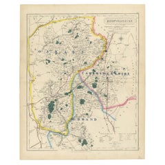
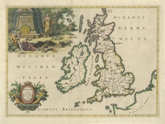
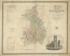
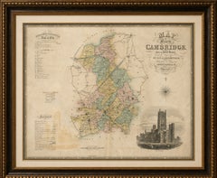
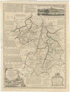
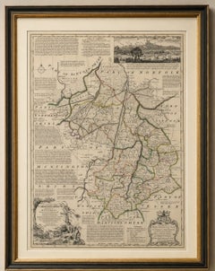
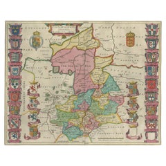
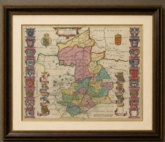
DESCRIPTION: A highly decorative 17th-century map of Cambridgeshire by the great Dutch cartographer Joan Blaeu, one of the leading mapmakers of the Dutch Golden Age. Titled “Cantabrigiensis Comitatus, Cambridge Shire,” the engraving presents Cambridge, Ely, Newmarket, Wisbech and the surrounding fenland in remarkable detail.
The map is especially attractive for its extensive heraldic decoration and its historic depiction of the Isle of Ely before the fenland landscape was fully transformed by later drainage. Rich contemporary hand-coloring, heightened with gilt, further enhances the elaborate coats of arms and beautifully engraved county boundaries.
At the centre of the county lies Cambridge, already renowned throughout Europe for its university. The decorative borders incorporate numerous heraldic arms associated with Cambridge and its historic colleges, including King’s College, Trinity Hall, Pembroke Hall, Corpus Christi College and St John’s College. These colorful armorial panels make the map particularly appealing for collectors with a connection to Cambridge, its university or the long history of learning associated with the city.
To the north, Blaeu prominently marks “The Ile of Ely,” reflecting Ely’s distinctive position within the historic fenland landscape. Before the great drainage schemes transformed this part of eastern England, Ely rose above extensive surrounding wetlands, giving rise to its traditional description as an island. Nearby places including Wisbech, Littleport, Soham and Stretham preserve the geography of this low-lying country of rivers, marshes and causeways.
The map also records Huntingdon, St Ives, St Neots, Peterborough and Newmarket. Newmarket Heath is clearly identified to the southeast, an interesting early reference to the area that would become internationally famous for horse racing.
One of the pleasures of this antique map is its combination of recognizable modern locations with historic place-name forms. The Latinized title, elaborate heraldry, finely engraved settlements and strong original coloring give the sheet both considerable historical interest and exceptional decorative appeal.
An excellent example of Blaeu’s celebrated English county cartography and an impressive original antique map for a library, study, university collection or sophisticated interior.
ARTIST / MAKER: Joan Blaeu (1596–1673)
DATE: Circa 1645
ORIGIN: Amsterdam, Dutch Republic
MEDIUM: Copper engraving with contemporary hand-coloring, heightened with gilt, on paper
DIMENSIONS: Approximately 42 × 52.5 cm (16.5 × 20.7 in.)
STYLE / PERIOD: Baroque, Dutch Golden Age, 17th Century
CONDITION: Good antique condition with expected minor signs of age and handling. Bright and attractive contemporary hand-coloring, partly highlighted with gold. Latin text on verso.
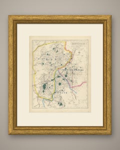
FRAME / PRESENTATION: Unframed. Any framed or interior images shown are for presentation and inspiration only.
PROVENANCE / REFERENCES: Published in Amsterdam in Joan Blaeu’s celebrated 17th-century atlas tradition. Latin text on verso.
KEYWORDS: Joan Blaeu, Cambridgeshire map, Cambridge map...
Category
Antique Mid-17th Century Dutch Baroque Maps