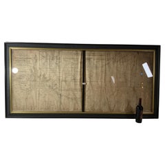
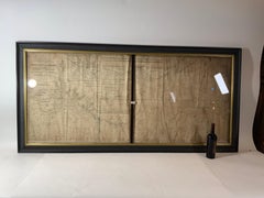
Chart of the East Coast of England
Located in Norwell, MA
Chart of the East Coast of England, from Dungeness to Flamborough, including the entrances to the Thames River. Drawn by hydrographer J.W. Norie in 1841. Includes Kent, Essex and Suf...
Category
English Antique 1840s Nautical Objects
Materials
Paper