
Cotton Posters

to
14
14
Height
to
Width
to
14
14
23,000
8,080
770
580
385
14
14
14
14
14
Material: Cotton
Late 20th Century Educational Geographic Map - Continent Of Americas Industry
Located in Hook, Hampshire
Late 20th Century Educational Geographic Map – Continent Of Americas Industry Late 20th Century Educational Geographic Map – Continent Of Americas Industry. Good quality roll up scho...
Category

Late 20th Century Czech Cotton Posters

Materials

Cotton

Late 20th Century Educational Geographic Map - European Countries
Located in Hook, Hampshire
Late 20th Century Educational Geographic Map – European Countries Late 20th Century Educational Geographic Map – European Countries. Good quality roll up s...
Category

Late 20th Century Czech Cotton Posters

Materials

Cotton

Late 20th Century Educational Geographic Map - African Industry (1728.2)
Located in Hook, Hampshire
Late 20th Century Educational Geographic Map – African Industry (1728.2) Late 20th Century Educational Geographic Map – African Industry. Good quality roll up school educational geog...
Category

Late 20th Century Czech Cotton Posters

Materials

Cotton

Late 20th Century Educational Geographic Map - South African Topography (1728.5)
Located in Hook, Hampshire
Late 20th Century Educational Geographic Map – South African Topography (1728.5) Late 20th Century Educational Geographic Map – South African Topograp...
Category

Late 20th Century Czech Cotton Posters

Materials

Cotton

Late 20th Century Educational Geographic Map - Earths Lithosphere
Located in Hook, Hampshire
Late 20th Century Educational Geographic Map – Earths Lithosphere Late 20th Century Educational Geographic Map – Earths Lithosphere. Good quality roll up school educational geographi...
Category

Late 20th Century Czech Cotton Posters

Materials

Cotton

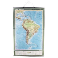
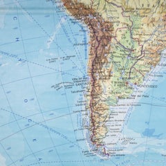
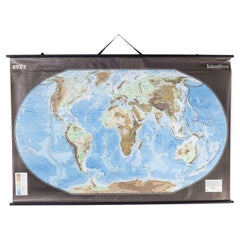
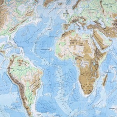
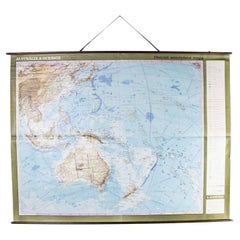
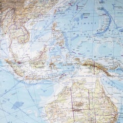
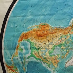
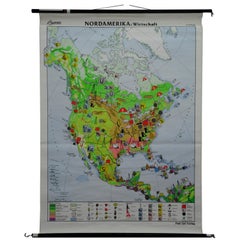
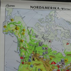
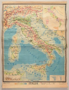
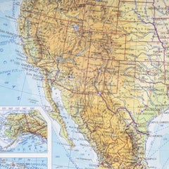
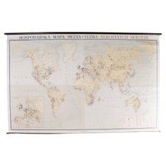
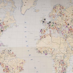
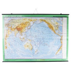
Late 20th Century Educational Geographic Map - Australia Topography And Economy
Located in Hook, Hampshire
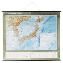
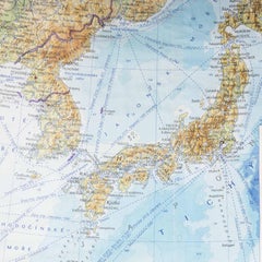
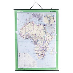
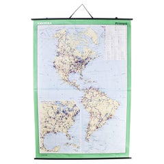
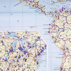
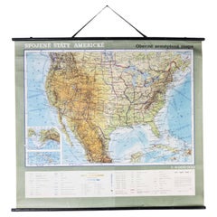
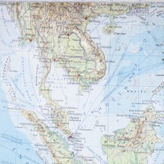
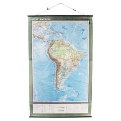
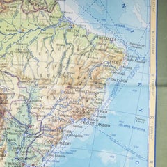
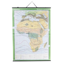
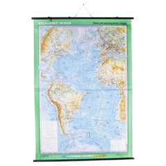
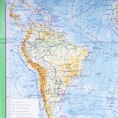
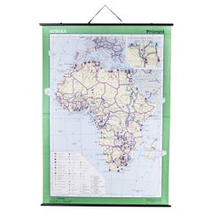
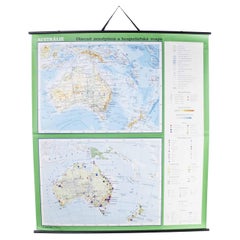
Late 20th Century Educational Geographic Map – Australia Topography And Economy Late 20th Century Educational Geographic Map – Australia Topography And Economy. Good quality roll up ...
Category

Late 20th Century Czech Cotton Posters

Materials

Cotton

Late 20th Century Educational Geographic Map - Japan - Korea
Located in Hook, Hampshire
Late 20th Century Educational Geographic Map – Japan – Korea Late 20th Century Educational Geographic Map – Japan – Korea. Good quality roll up school educat...
Category

Late 20th Century Czech Cotton Posters

Materials

Cotton

Late 20th Century Educational Geographic Map - African Climate
Located in Hook, Hampshire
Late 20th Century Educational Geographic Map – African Climate Late 20th Century Educational Geographic Map – African Climate. Good quality roll up school educational geographic map ...
Category

Late 20th Century Czech Cotton Posters

Materials

Cotton

Late 20th Century Educational Geographic Map - South Asia Topography
Located in Hook, Hampshire
Late 20th Century Educational Geographic Map – South Asia Topography Late 20th Century Educational Geographic Map – South Asia Topography. Good quality roll up school educational geo...
Category

Late 20th Century Czech Cotton Posters

Materials

Cotton

Late 20th Century Educational Geographic Map - South African Topography (1728.4)
Located in Hook, Hampshire
Late 20th Century Educational Geographic Map – South African Topography (1728.4) Late 20th Century Educational Geographic Map – South African Topograp...
Category

Late 20th Century Czech Cotton Posters

Materials

Cotton

Late 20th Century Educational Geographic Map - Australasia
Located in Hook, Hampshire
Late 20th Century Educational Geographic Map – Australasia Late 20th Century Educational Geographic Map – Australasia. Good quality roll up school educational geographic map from the...
Category

Late 20th Century Czech Cotton Posters

Materials

Cotton

Late 20th Century Educational Geographic Map - European Countries (1728.14)
Located in Hook, Hampshire
Late 20th Century Educational Geographic Map – European Countries (1728.14) Late 20th Century Educational Geographic Map – European Countries (1728.14). Go...
Category

Late 20th Century Czech Cotton Posters

Materials

Cotton

Late 20th Century Educational Geographic Map - African Industry (1728.1)
Located in Hook, Hampshire
Late 20th Century Educational Geographic Map – African Industry (1728.1) Late 20th Century Educational Geographic Map – African Industry. Good quality roll up school educational geog...
Category

Late 20th Century Czech Cotton Posters

Materials

Cotton

Late 20th Century Educational Geographic Map - Atlantic Currents
Located in Hook, Hampshire
Late 20th Century Educational Geographic Map – Atlantic Currents Late 20th Century Educational Geographic Map – Atlantic Currents. Good quality roll up school educational geographic ...
Category

Late 20th Century Czech Cotton Posters

Materials

Cotton

Related Items
Vintage Swedish Engineering Educational Diagram Poster
Located in Atlanta, GA
Vintage Swedish engineering educational or instructional diagram printed as a poster on cardboard. String hanger.
Category

1950s Swedish Mid-Century Modern Vintage Cotton Posters

Materials

Paper

Original 20th Century French Bourin Poster
Located in Tetbury, Gloucestershire
Jacques and Pierre Bellenger designed this original vintage poster in 1936. This clever image shows that Bourin Quinquina is the perfect versatile bev...
Category

Early 20th Century Swedish Cotton Posters

Materials

Paper

Original 20th Century French Bourin Poster
$1,203 Sale Price
20% Off
H 45.28 in W 54.14 in D 1.38 in
Early 20th Century French Lithographic Poster, 'Cachou Lajaunie', c. 1900
Located in Melbourne, Victoria
Early 20th Century French Lithographic Poster, 'Cachou Lajaunie', c. 1900 This poster is advertising a breath mint which helps to disguise the smell of cigarettes. This is an orig...
Category

Early 20th Century French Victorian Cotton Posters

Materials

Linen, Paper

Early 20th Century French Lithographic Poster, 'Cachou Lajaunie', c. 1900
$1,440 Sale Price
20% Off
H 63 in W 45.28 in D 0 in
Vintage Map Wall Chart Countries of North America Rollable Mural Poster
Located in Berghuelen, DE
The vintage pull-down school map illustrates the countries / states of North America. Published by Haack-Painke Justus Perthes Darmstadt. Colorful print on paper reinforced with canv...
Category

Late 20th Century German Country Cotton Posters

Materials

Canvas, Wood, Paper

Exhibition poster Hans Coray Design 20th century Design Museum Denmark
Located in WIJCKEL, NL
Here is a very rare and desirable vintage exhibition poster from the Danish Design Museum Denmark, Copenhagen. The image presented the Landi chair by the Designer Hans Coray. The exh...
Category

1990s Danish Scandinavian Modern Cotton Posters

Materials

Paper

Map Mural Rollable Poster Vintage Wall Chart Australia New Zealand Polynesia
Located in Berghuelen, DE
Map Mural Rollable Poster Vintage Wall Chart Australia New Zealand Polynesia A beautiful vintage school map illustrating the popular region of Aust...
Category

1970s German Country Vintage Cotton Posters

Materials

Canvas, Wood, Paper

German Educational Heart Anatomy Chart
Located in Brooklyn, NY
German, educational, anatomical, roll-up, chart depicting the heart, Das Herz from the Deutsches Hygiene Museum, Dresden is printed on canvas backed paper on copper colored hollow st...
Category

Mid-20th Century German Industrial Cotton Posters

Materials

Metal

German Educational Heart Anatomy Chart
$495
H 45.5 in W 34.5 in D 0.75 in
Original Vintage Pan Am Travel Map Poster South America Continent Of Contrasts
Located in London, GB
Original vintage Pan Am travel advertising map poster - South America Continent of Contrasts served by Pan American World Airways and Pan American Grace ...
Category

1940s American Vintage Cotton Posters

Materials

Paper

Educational Lithograph of Earth’s Surface from German Geography Book, circa 1885
Located in Langweer, NL
Educational Lithograph of Earth’s Surface from 19th Century German Geography Book This richly detailed educational print, titled Die Oberfläche der Erde (The Surface of the Earth), ...
Category

Late 19th Century German Antique Cotton Posters

Materials

Paper

Vintage Mural Map Rollable Wall Chart Poster Australia New Zealand Indonesia
Located in Berghuelen, DE
Vintage Mural Map Rollable Wall Chart Poster Australia New Zealand Indonesia The vintage pull-down map shows Australia and Oceania, published by Haack-Painke Justus Perthes Darmstadt. Colorful print on paper reinforced with canvas. This wallchart is a wonderful holiday memory decoration item. Measurements: Width 122 cm (48.03 inch) Height 100 cm (39.37 inch) The measurements shown refer just to the canvas and do not include the poles. Background information on the history of school wall charts: The idea to upgrade every day school life by using pictures was supported in the late 18th century by Johann Bernhard Basedow. In 1774 he published a four-volume book "Elementarwerk" which combined pictures, text and information with merely hundred copperplates. Modern printing methods enabled the spread from rich private schools to rural grade schools...
Category

1970s German Country Vintage Cotton Posters

Materials

Canvas, Wood, Paper

Early 20th Century French Advertising Poster, 'XERES VERMOUTH' c. 1900
Located in Melbourne, Victoria
Early 20th Century French Advertising Poster, 'XERES VERMOUTH' c. 1900 This is an original vintage poster which is linen backed for preservation. This is a charming early 20th Centu...
Category

Early 20th Century French Early Victorian Cotton Posters

Materials

Linen, Paper

Early 20th Century French Advertising Poster, 'XERES VERMOUTH' c. 1900
$2,400 Sale Price
20% Off
H 42.52 in W 47.25 in D 0 in
Original Vintage Poster Union Of South Africa Map Natural & Industrial Resources
Located in London, GB
Original vintage illustrated map poster for the Union of South Africa Her Natural and Industrial Resources featuring colourful images of the main cities including Cape Town, Pretoria...
Category

1940s British Vintage Cotton Posters

Materials

Paper

Previously Available Items
Late 20th Century Educational Geographic Map - USA Topography
Located in Hook, Hampshire
Late 20th Century Educational Geographic Map – USA Topography Late 20th Century Educational Geographic Map – USA Topography. Good quality roll up school educational geographic map fr...
Category

Late 20th Century Czech Cotton Posters

Materials

Cotton

Late 20th Century Educational Geographic Map - Worlds Resources
Located in Hook, Hampshire
Late 20th Century Educational Geographic Map – Worlds Resources Late 20th Century Educational Geographic Map – Worlds Resources. Good quality roll up school educational geographic ma...
Category

Late 20th Century Czech Cotton Posters

Materials

Cotton

Late 20th Century Educational Geographic Map - Hemispheres
Located in Hook, Hampshire
Late 20th Century Educational Geographic Map – Hemispheres Late 20th Century Educational Geographic Map – Hemispheres. Good quality roll up school educational geographic map from the...
Category

Late 20th Century Czech Cotton Posters

Materials

Cotton

Late 20th Century Educational Geographic Map - World Atlas
Located in Hook, Hampshire
Late 20th Century Educational Geographic Map – World Atlas Late 20th Century Educational Geographic Map – World Atlas . Good quality roll up school educational geographic map from th...
Category

Late 20th Century Czech Cotton Posters

Materials

Cotton

Late 20th Century Educational Geographic Map - Worlds Oceans
Located in Hook, Hampshire
Late 20th Century Educational Geographic Map – Worlds Oceans Late 20th Century Educational Geographic Map – Worlds Oceans. Good quality roll up school educational geographic map from...
Category

Late 20th Century Czech Cotton Posters

Materials

Cotton

Late 20th Century Educational Geographic Map - Scandinavian Topography
Located in Hook, Hampshire
Late 20th Century Educational Geographic Map – Scandinavian Topography Late 20th Century Educational Geographic Map – Scandinavian Topography. Good quality roll up school educational...
Category

Late 20th Century Czech Cotton Posters

Materials

Cotton

Final Lap Winners Circle Checkered Flag with Mobiloil Pegasus Logo Garage Art
Located in Ferndale, MI
Recently un earthed from long time attic storage. Period checkered flag with Mobiloil red Pegasus logo. Two sided flag. One edge does have flap for flag stand...
Category

Mid-20th Century American Mid-Century Modern Cotton Posters

Materials

Cotton

Recently Viewed

View All