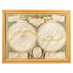
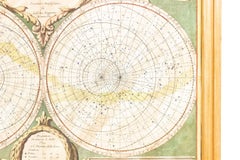
Italian Renaissance Celestial Map
Located in Queens, NY
Italian Renaissance style framed print of celestial map depicting stars and heavens (dated 1700 and inscribed Marco Bembo)
Category
Italian Renaissance Celestial Map
Located in Queens, NY
Italian Renaissance style framed print of celestial map depicting stars and heavens (dated 1700 and inscribed Marco Bembo)
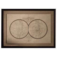
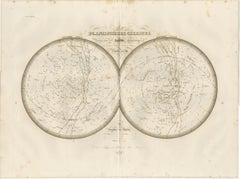
Antique Celestial Map, Planisphères Célestes, Lapie 1838 Astronomy
Located in Langweer, NL
Keywords: antique celestial map, Lapie astronomy print, planisphere engraving, star chart antique, celestial hemispheres map, 19th century astronomy print, French atlas engraving, co...
Paper
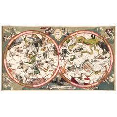
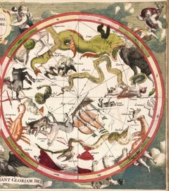
Decorative Antique Celestial Map – Zodiac, Stars & Hemel Globe, 1720
Located in Langweer, NL
Antique Celestial Map – Hemel Globe, Zodiac & Constellations by Halma, 1720 This striking double-hemisphere celestial chart, titled Hemel Globe.
Paper
$1,740Sale Price|20% Off
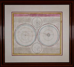
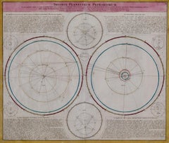
Theories of Planetary Motion: An 18th C. Framed Celestial Map by Doppelmayr
By Johann Gabriel Doppelmayr 1
Located in Alamo, CA
There are two other Doppelmayr/Homann celestial maps that are listed on our 1stdibs storefront that are presented in identical frames and maps.
Engraving
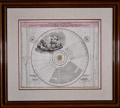
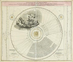
$1,740Sale Price|20% Off
The Orbits of Venus and Mercury: An 18th C. Framed Celestial Map by Doppelmayr
By Johann Gabriel Doppelmayr 1
Located in Alamo, CA
There are two other Doppelmayr/Homann celestial maps that are listed on our 1stdibs storefront that are presented in identical frames and maps.
Engraving
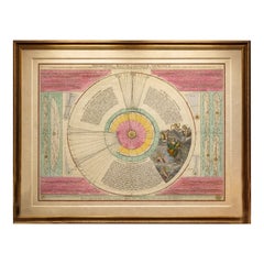
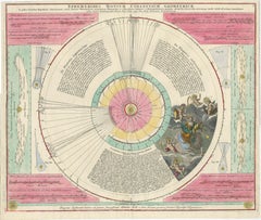
Copernican Solar System – Celestial Plan, Doppelmayer, Hand-Colored c.1742
Located in Langweer, NL
Note: We supply this original antique map unframed. Technique: Engraved map with contemporary hand coloring Maker: Johann Gabriel Doppelmayer, Nuremberg, circa 1742 Keyword block...
Paper
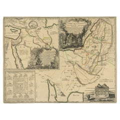
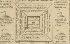
Old Map of Arabian Peninsula and Canaan, Highlighting Biblical Territories, 1750
Located in Langweer, NL
He continued the tradition of producing high-quality maps and globes and was also known for innovating with educational products, including thematic and celestial maps.
Paper
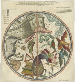
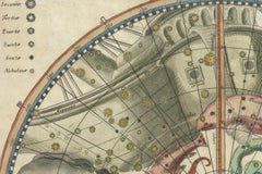
1711 Star Chart of Southern Sky with Mythical Constellations and Exotic Animals
Located in Langweer, NL
The chart includes numerous constellations, such as Argo Navis, Centaur, Lupus, Apus (bird of paradise), Apis (bee), Indus (Native Indian), and Pavo (peacock). The map is hand-colore...
Paper
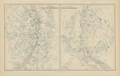
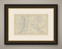
Antique Star Chart of Both Celestial Hemispheres, Black's General Atlas, 1870
Located in Langweer, NL
A chart of this kind records the constellations under the names that astronomy had settled on by the middle of the nineteenth century, with the stars graded by magnitude and the ecli...
Paper


Decorative Original Antique Map of Normandy, France, circa 1690
Located in Langweer, NL
Vincenzo Maria Coronelli, a Venetian scholar and Minorite Friar, was one of the most celebrated map and globe makers of his era. Cornelli produced more than one hundred terrestrial a...
Paper
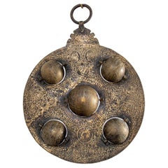
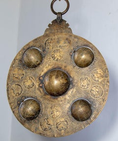
Islamic Cast Bronze Astrolabe with Five Celestial Globes Astronomical Instrument
Located in Moreno Valley, CA
The surface is finely hand-engraved with celestial maps, graduated measurement scales, geometric ornament, and bilingual inscriptions: one side bearing Hindu script and decorative mo...
Brass, Bronze

1730 Southern Hemisphere Celestial Chart with Zodiac Signs and Decorative Putti
Located in Langweer, NL
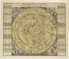
Title: 1730 Southern Hemisphere Celestial Chart with Zodiac Signs and Decorative Putti Description: This stunning 1730 celestial map, "Hemisphaerium Coeli Australe," showcases the S...
Paper


The Celestial Invocation: A Signed Persian Tabriz Masterpiece of Sacred Elegance
Located in Dallas, TX
The medallion unfolds like a celestial map, its intricate arabesques and interlaced florals radiating outward in disciplined symmetry.
Wool
$940Sale Price|20% Off
Meissen, Germany : A Large Framed 18th Century Map by Petrus Schenk
Located in Alamo, CA
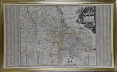
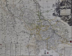
Valk and Schenk became well-known for their globe production and the re-issue of 17th century celestial maps by Andreas Cellarius. Peter Schenk, the Younger inherited his father's bu...
Engraving
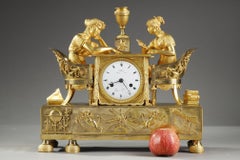
Empire Clock, "The Astronomy Lesson", early 19th century
Located in Peyraud, Auvergne-Rhône-Alpes
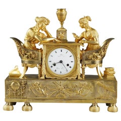
The girl on the left is absorbed in reading a celestial map on the table, while the girl on the right is reading a book on astronomy.
Bronze
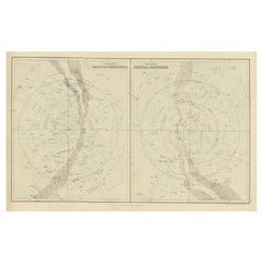
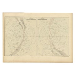
Antique Print of Celestial Hemispheres, 1854
Located in Langweer, NL
Antique world map titled 'Northern Celestial Hemisphere - Southern Celestial Hemisphere'.
Paper
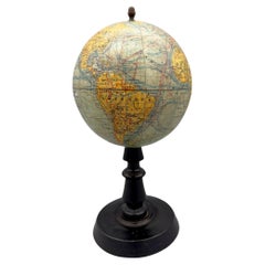
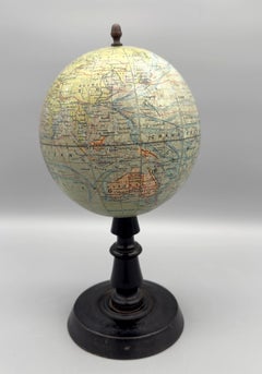
Small terrestrial globe by Joseph Forest, Paris, France, circa 1890 / 1900
Located in Paris, FR
In 1886, at 17-19 rue de Buci, he founded his own publishing house for maps and plans, world maps, globes, terrestrial and celestial spheres, charts and wall maps for educational use.
Wood, Paper
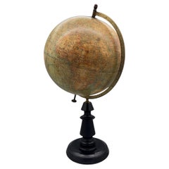
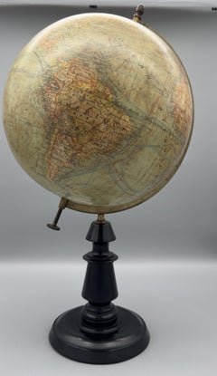
Large terrestrial globe by Joseph Forest, Paris, France, circa 1890
Located in Paris, FR
In 1886, at 17-19 rue de Buci, he founded his own publishing house for maps and plans, world maps, globes, terrestrial and celestial spheres, charts and wall maps for educational use.
Brass
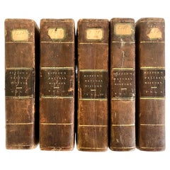
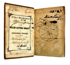
Complete Five-Volume 1831 Leather-bound Set of "Buffon’s Natural History"
Located in San Francisco, CA
."), ink spills, and a hand-drawn celestial/coordinate map, capsules of student enthusiasm.
Leather, Paper


Unavailable
H 41 in Dm 21 in
Pair of 19th Century Newton, Son & Berry Terrestrial and Celestial Globes
By Newton, Son & Berry
Located in Salt Lake City, UT
A pair of Newton, Son & Berry terrestrial and celestial globes made in London, circa 1836. Marked on terrestrial globe: 'Manufactured by Newton, Son & Berry, 66, Chancery Lane. Londo...
Brass


Solis Circa Orbem Terrarum Spiralis Revolution
By Andreas Cellarius
Located in Mount Vernon, NY
Engraving after celestial map from Dutch-German mathematician and cosmographer Andreas Cellarius’ (1596-1665) “Harmonia Macrocosmica,” 1660, illustrating the spiral revolution of the...
Engraving
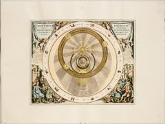
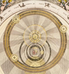
Planisphaerivm Brahevm, Sive Structura Mvndi Totivs
By Andreas Cellarius
Located in Mount Vernon, NY
Engraving after celestial map from Dutch-German mathematician and cosmographer Andreas Cellarius’ (1596-1665) “Harmonia Macrocosmica,” 1660, illustrating the structure of the univers...
Engraving
Unavailable
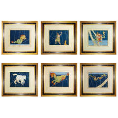
Set of Six Johann Bayer Celestial Engravings
By Johann Bayer
Located in New York, NY
First published in Augsburg in 1603, the Uranometria included celestial maps that were not only highly appealing on a visual level, but also significant in the history of astronomy.
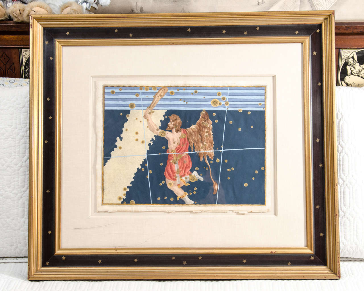
Star Chart from the Early Seventeenth Century by German Astronomer Johann Bayer
By Johann Bayer
Located in New York, NY
First published in Augsburg in 1603, the Uranometria included celestial maps that were not only highly appealing on a visual level, but also significant in the history of astronomy.
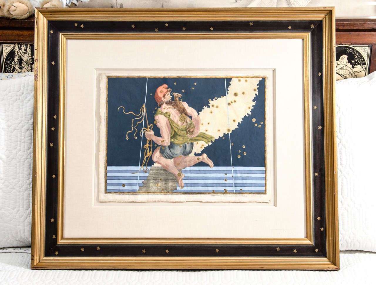
Star Chart from the Early Seventeenth Century by German Astronomer Johann Bayer
By Johann Bayer
Located in New York, NY
First published in Augsburg in 1603, the Uranometria included celestial maps that were not only highly appealing on a visual level, but also significant in the history of astronomy.
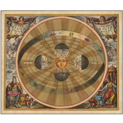
Most Desirable of Cellarius's Celestial Engravings
By Andreas Cellarius
Located in La Jolla, CA
The present example is from the 1661 edition of Cellarius' Harmonia Macrocosmica. The map illustrates the Copernican system of the Universe, as described by Copernicus in his De r...
Paper


Antique Engraving of Terrestrial and Celestial Globes Framed
By George Louis Le Rouge
Located in Pataskala, OH
Title/Content of Map: Terrestrial and celestial globes Date Printed: 1760 Cartographer: Le Rouge, George Size: 11" x 9" Framed: 15.9" X 13.25".


Celestial Maps, Set of Four, Ignace Gaston Pardies
By Ignace Gaston Pardies
Located in Pasadena, CA
This is a rare set of four of a complete set of six 17th century Gaston Ignace Pardies*** (1636-1673) Celestial Maps. The folios were colored contemporaneously and are in over all ex...
Paper


Nathaniel Hill Pocket Globe, 1754
Located in Lincolnshire, GB
This is a superb example of a dated pocket globe retaining all the original color and varnish to the papers, the inside of the case shows the celestial map. The fish skin case close...
Shagreen
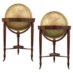
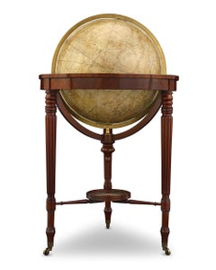
William IV Terrestrial And Celestial Floor Globes By J. W. Cary
By John & William Cary
Located in New Orleans, LA
The terrestrial globe provided the most current geographical information of the time, including facts discovered during expeditions to the North Pole, while the celestial globe provi...
Mahogany
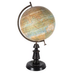
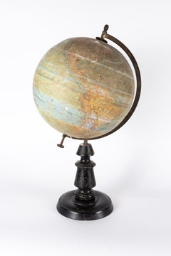
Late 19th century antique globe by Joseph Forest
Located in Oostende, BE
In 1886, at 17-19 rue de Buci, he founded his own publishing house for maps and plans, world maps, globes, terrestrial and celestial spheres, charts and wall maps for educational use.
Wood

Sold
H 20.13 in W 23.88 in D 0.94 in
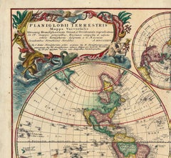
Planiglobii Terrestris Mappa Universalis / Mappe Monde
By Homann Heirs
Located in New York, NY
Surrounding the main image are four additional hemispheric projections and two celestial models. The map was compiled by J. M. Haas, Professor of Mathematics at Wittenberg.
Engraving

Sold
H 23.19 in W 25.07 in D 1.07 in
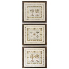
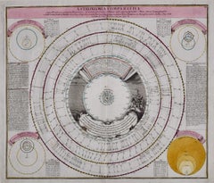
Hand-Colored Astronomical Engravings by Louis Charles Desnos, 1766
By Louis Charles Desnos
Located in Kinderhook, NY
Collection of three hand-colored astronomical map engravings illustrating celestial spheres in ornate rococo borders by Louis Brion de la Tour (1743-1803) and Louis Charles Desnos (c...
Glass, Wood, Paper
Sold
H 31.5 in W 34.94 in D 1 in
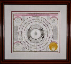
Theories of Planetary Orbits: A Framed 18th C. Celestial Map by Doppelmayr
By Johann Gabriel Doppelmayr 1
Located in Alamo, CA
There are two other Doppelmayr/Homann celestial maps that are listed on our 1stdibs storefront that are presented in identical frames and maps.
Engraving

Sold
H 20.75 in W 24.5 in
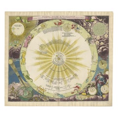
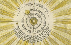
Novissium Astronomiae, Geographiae Tobias Lotter 1770's celestial map engraving
By Tobias Conrad Lotter
Located in Paonia, CO
Novissium Astronomiae, Geographiae, Ac Gnomicae Compendium Theoreticum aeque practicu unacu figuris, earu explicatione et uso un unius mappae geographicae philyram Collectum map by...
Engraving
Sold
H 21.26 in W 24.41 in D 0.01 in
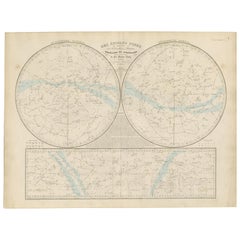
Baroque Solar System & Zodiac Map – Homann Doppelmayr, Hand Colored c.1742
Located in Langweer, NL
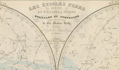
Baroque Solar System & Zodiac Map – Homann Doppelmayr, Hand Colored c.1742 This impressive celestial engraving depicts the Copernican heliocentric solar system and is titled “Sy...
Paper
Sold
H 20.91 in W 27.64 in D 0.01 in
Antique Celestial Star Map – Northern & Southern Hemispheres, 1860
Located in Langweer, NL
Antique Celestial Star Map – Northern & Southern Hemispheres, Andriveau-Goujon 1860 This elegant antique celestial chart, published in Paris in 1860 by the noted French cartographer...
Paper

Antique Map of a Celestial Hemisphere by Van Dùren, 1749
Located in Langweer, NL
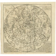
Original antique map of a celestial hemisphere, with descriptive text in German.
Paper


Early 19th Century Celestial Globe by Cary
By John & William Cary
Located in Greenwich, CT
Fine Georgian Celestial globe by J. & W. Cary of London, circa 1800, the mahogany Stand with ring turned urn shaft and standing on slipper feet, with compass on lower tier, the whole...
Mahogany, Paper


Celestial Pocket Globe by Newton London, 1860 Circa
By Newton and Son
Located in Milano, IT
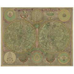
Pocket Globe Newton London, 1860 circa The globe is contained in a cylindrical box of turned and stained wood. It measures: the globe 3 in (7,6 cm) in diameter; the box 3.54 in...
Wood, Paper

Sold
H 19.61 in W 24.22 in D 0.02 in
Antique Double Hemisphere Celestial Chart by Lotter, 'circa 1770'
Located in Langweer, NL
He became one of the most prolific cartographic publishers on the Continent, and produced a vast array of Fine maps ranging in Scope from double hemispheres to celestial charts.
Paper


Sold
H 12.37 in W 17.84 in D 0.01 in
Antique Celestial Charts of the Northern and Southern Hemispheres, 1884
Located in Langweer, NL
By the late 19th century, atlases often included celestial charts to complement terrestrial geography, underscoring the era’s ambition to map both the earth and the heavens.
Paper


19th Century Franklin Celestial Tabletop Globe by Nims and Company
By H.B. Nims & Co.
Located in Philadelphia, PA
The Franklin Globe. A fine and rare H. B. Nims and Company 12-inch Celestial globe. Manufactured in Troy, New York. With 12 printed and hand tinted gores on a plaster sphe...

Pegasus Celestial Map
Located in Toronto, ON
PLATE X11 FROM JAMIESONS CELESTIAL ATLAS C 1822 CONTAINING A SYSTEMATIC VIEW OF THE HEAVENS.


Celestial Maps
Located in Los Angeles, CA
1735 terrestrial and celestial globes as well as Armillary Sphere and compass by VAN DER AA. Handcolored. Mint condition. Size includes frame.


Set of Four 18th Century French Celestial Map Engravings
By John Flamsteed
Located in New York, NY
Set of four 18th century French celestial map engravings from astrological "Atlas Celeste de John Flamsteed," depicting the constellations "Pegase, Le Petit, Cheval, Le Dauphin," "La...
Paper

Cetus Celestial Map
Located in Toronto, ON
PLATE XXX111 FROM JAMIESONS CELESTIAL ATLAS C1822,CONTAINING A SYSTEMATIC DISPLAY OF THE HEAVENS.

Hercules Celestial Map
Located in Toronto, ON
PLATE V111 FROM JAMIESONS CELESTIAL ATLAS C 1822, CONTAINING A SYSTEMATIC DISPLAY OF THE HEAVENS.

Hammett's Planisphere Celestial Map
Located in Dallas, TX
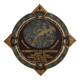
This wonderful astrological map was made for the J. L. Hammett Co. of Boston, Massachusetts and allows you to locate the stars, constellations and the Milky Way. The front reads as f...

Hydra And Felis Celestial Map
Located in Toronto, ON
PLATE XXV1 FROM JAMIESONS CELESTIAL ATLAS C 1822 CONTAINING A SYSTEMATIC DISPLAY OF THE HEAVENS.


Johann Bayer "Uranometria" Celestial Map Engravings, 1641 Edition
By Johann Bayer
Located in New York, NY
Selection of six hand colored engravings from Johan Bayer's "Uranometria" star atlas, 1641 edition. Guache added later, likely in the early to mid-20th century. Newly framed. Engr...
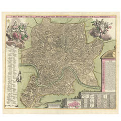
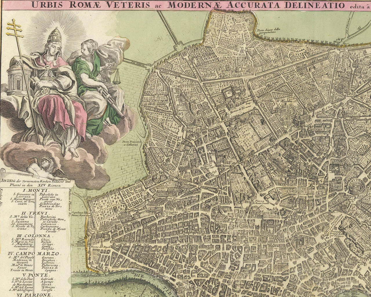
Hand-Colored Map of Rome, circa 1720
By Johann Baptist Homann
Located in New York, NY
In 1702, Johann Baptiste Homann founded a family-run business producing maps, globes, and celestial charts out of Nuremberg.
Paper, Watercolor


Globe/map Celestial 18th century
Located in Stratford upon Avon, GB
Late 18th century celestial globe on a mahogany tripod stand with brass castors by Nevil Maskelyne DD, FRS. Sold by WS Jones, Holborn London.
Wood


An impressive French astronomical centerpiece table clock, circa 1880
Located in Amsterdam, Noord Holland
On the top we find the celestial map with all the heavenly bodies, not connected with the movement.
Ormolu


Pair of Antique Desk Globes by Newton
By Newton and Son
Located in London, GB
The terrestrial and celestial globes retain their original maps dated 1847.
Iron


Monumental Pair of Cary's Library Globes
Located in New York, NY
The celestial globe is mapped with constellations elegantly depicted by mythical figures and scientific instruments in the Baroque taste, the zodiac belt within graph-form grid, ...
Mahogany


19th Century Celestial Globe by W & A K Johnston, Edinburgh
Located in London, Greenwich
19th century celestial globe with compass on mahogany base by W & A K Johnston, Edinburgh. This globe has had damage in the past and has been restored prior to us purchasing it, inc...
Gesso, Mahogany
$1,349Sale Price|20% Off
H 17.52 in W 21.46 in D 0.79 in
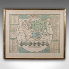
Antique Plan de l'Historie Universelle World Map, Framed Cartography, Circa 1730
Located in Hele, Devon, GB
This is an antique Plan de l'Historie Universelle World Map. A Dutch, framed atlas engraving by Henri Abraham Chatelain, dating to the 18th century and later, circa 1730. Published...
Glass, Paper
$1,476
H 19.3 in W 26.78 in D 0.02 in
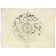
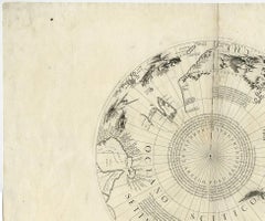
Greenland & the North Pole – Antique Polar Map by V.M. Coronelli, c.1692
By Vincenzo Coronelli
Located in Langweer, NL
Globe gore by Vincenzo Maria Coronelli shows the North Pole with the coasts of Canada, Greenland, Scandinavia and Siberia, and is decorated with pictorial scenes of bear, seal and wh...
Paper
$2,861
H 15.52 in W 21.26 in D 0.02 in
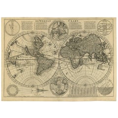
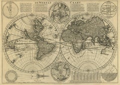
Mid-18th Century Antique World Map by R. & J. Wetstein, Netherlands
Located in Langweer, NL
Antique world map titled 'De Werelt Caart'. A scarce and richly detailed double hemisphere world map that was probably based on an earlier work by Cornelis Dankerts. This map has t...
Paper
$6,043Sale Price|20% Off
H 20.79 in W 25.2 in D 0.02 in
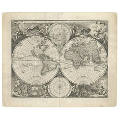
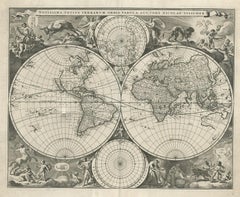
Gorgeous Antique World Map by the Dutch Mapmaker Visscher, published circa 1679
Located in Langweer, NL
Antique map titled 'Novissima Totius Terrarum Orbis Tabula, Auctore Nicolao Visscher'. Gorgeous example of Nicholas Visscher's World map, which appeared in his Atlas Minor after 1679...
Paper

$429Sale Price|25% Off
H 8.08 in W 11.03 in D 0.02 in
Antique Map of the World with Polar Projections by Keizer & de Lat, 1788
Located in Langweer, NL
Antique map titled 'Schuine Ronde Aard-Klooten (..)'. Interesting double hemisphere world map with polar projections. In North America, there is a large Island of California. Austral...
Paper

$915Sale Price / set|20% Off
H 10.63 in W 8.27 in D 0.02 in
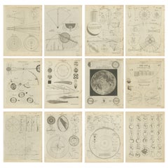
Set of 12 Antique Astronomy Prints by Bell 'c.1797'
Located in Langweer, NL
Set of twelve antique astronomy prints. Published 1787-1797 for 'Encyclopaedia Britannica'. Engraved by A. Bell.
Paper
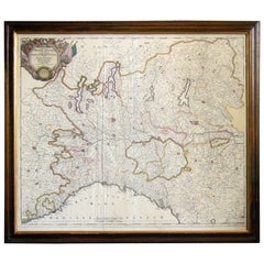
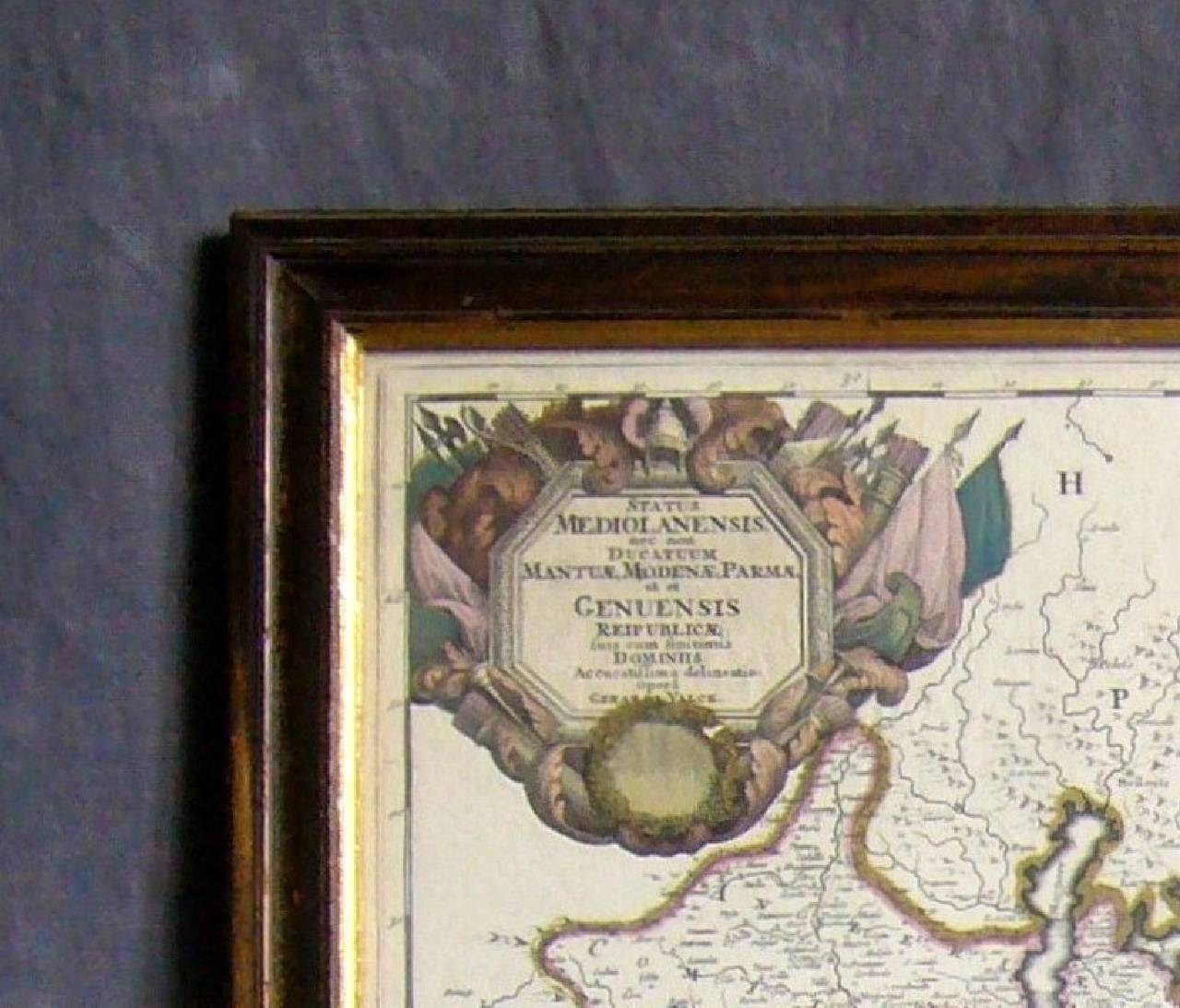
Map of the Republic of Genoa
Located in New York, NY
Framed antique hand-coloured map of the Republic of Genoa including the duchies of Mantua, Modena, and Parma. Europe, late 18th century. Dimension: 25.75 " W x 22.5" H x .75" D; ...
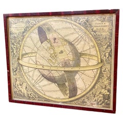
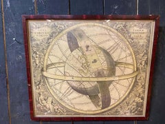
Ancient engraving, map of the earth with circling zodiac
Located in Mouscron, WHT
Ancient engraving, map of the earth with circling zodiac "Situs Terrae Circulis Coelestibus Circumnate"
Paper
$2,950
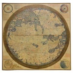
H 88.25 in W 90.25 in D 2 in
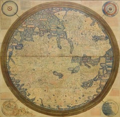
Monumental Framed Medieval Facsimile Map Of The World Fra Mauro Wood Wall Panel
Located in Forney, TX
A remarkable palatial nearly 7.5ft x 7.5ft facsimile of the important Map of the World (circa 1450) by Fra MauroFra Mauro (Italian; circa 1400–1464), featuring a solid wood framed hi...
Linen, Wood, Paper
$1,287Sale Price|25% Off
H 16.15 in W 20.08 in D 0.02 in
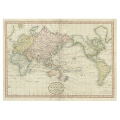
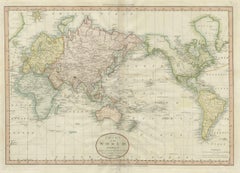
Attractive Antique Map of the World as Planisphere, Shows Cook's Voyages, 1799
Located in Langweer, NL
Antique map titled 'Chart of the World, according to Mercators Projection'. This world map shows the various discoveries of Captain James Cook during his 3 voyages between 1768 and 1...
Paper
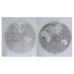
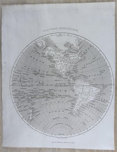
Original Antique Map of The World by Thomas Clerk, 1817
Located in St Annes, Lancashire
Great map of The Eastern and Western Hemispheres On 2 sheets Copper-plate engraving Drawn and engraved by Thomas Clerk, Edinburgh. Published by Mackenzie And Dent, 1817 ...
Paper
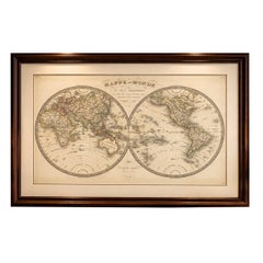
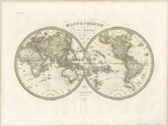
Antique Double Hemisphere World Map – Lapie, Paris, 1838
Located in Langweer, NL
Antique Double Hemisphere World Map – Lapie, Paris, 1838 This elegant and finely engraved double-hemisphere world map was published in Paris in 1838 as part of the renowned Atlas Un...
Paper
$3,863Sale Price|25% Off
H 20.67 in W 24.41 in D 0.02 in
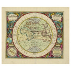
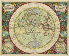
Antique Map of the Eastern Hemisphere by Valk & Chenk '1708'
Located in Langweer, NL
Antique map titled 'Hemispherium Orbis Antiqui, Cumzonis Circulis, Et Sity populorum Diverso'. Decorative example of Andreas Cellarius's map of the Eastern Hemisphere, illustrating w...
Paper
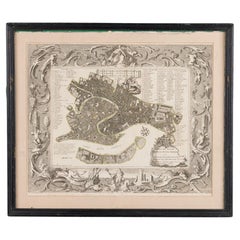
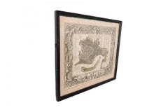
Italian Neo-Classic Map of Italy
Located in Queens, NY
Italian Neo-classic style black framed print of map of Italy

$406
H 15.36 in W 16.54 in D 0.02 in
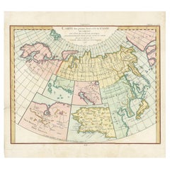
Antique Map of North Europe and East Asia by Vaugondy, circa 1750
Located in Langweer, NL
Antique map titled 'Carte des parties nord et est de L'Asie'. Map of the Northern parts and East Asia. Five maps on one sheet, showing California, Alaska and Syberia, Korea and Japan...
Paper
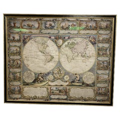
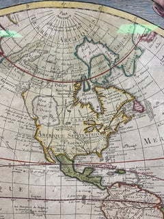
Colored wall map of the WORLD
By Chambon
Located in ZWIJNDRECHT, NL
“Mappe Monde, contenant les Parties Connues du Globe Terrestre” CHAMBON, Gobert-Denis (France, 17.. - 1781) Paris, Longchamps et Janvier, 1754 Size H. 115 x W. 145 cm. Gobert-Denis...
Wood, Paper
$1,160Sale Price / set|27% Off
H 96 in W 36 in D 0.1 in
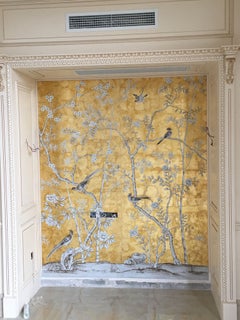
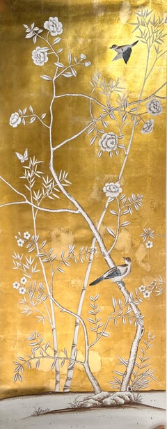
Chinoiserie Panel Hand Painted Wallpaper on Gold Metallic, Accept Custom Size
Located in Wuxi, 32
If you love the look of De Gournay wallpaper but not the price, this is for you. The colorways in this sections present our latest colorways, which can be applied to any designs and...
Gold Leaf
$1,584 / item
H 3.94 in W 6.3 in D 6.3 in
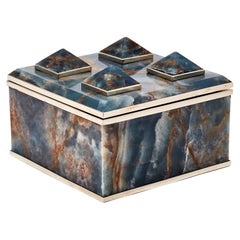
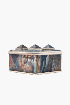
Tronador Square Blue Onyx Box by AIREDELSUR, Hand-Carved Design
By AIREDELSUR
Located in Buenos Aires, AR
The shape of the inactive Tronador volcano reminded us of the pyramid shaped idea of our boxes that make up this collection. With a rectangular or square base, the box is a reflectio...
Stone, Onyx
$1,428Sale Price|44% Off
H 37.41 in W 28.35 in D 4.73 in
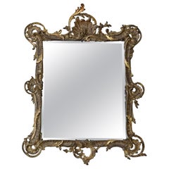
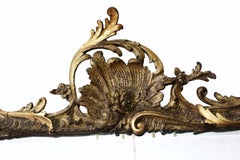
Antique Large Fine Quality Early 19th Century Gilt Overmantel or Wall Mirror
Located in Wisbech, England
Antique large fine quality early 19th century gilt overmantel or wall mirror. A very decorative statement piece, with a great look. A charming mirror, that is full of age and char...
Giltwood
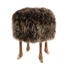

Mark Bankowsky, Pieds de Bouc, Stool, France
By Marc Bankowsky
Located in New York, NY
This surrealistic stool, which rests on silver or bronze legs modeled after a goat's, and is upholstered in lamb's wool, is a successful new take on a centuries-old tradition: transf...
Bronze
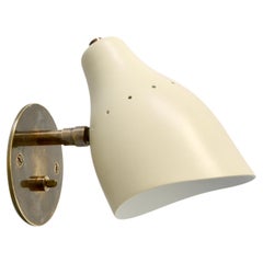
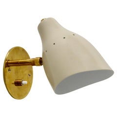
LUread Spot Sconce 'S'
By Lumfardo Luminaires
Located in Inglewood, CA
Beautiful Lumfardo LUread spot sconce with a push switch on the backplate. A sconce inspired as a contemporary take on classic midcentury lines. Can be wired for any region worldwide...
Aluminum, Brass
$3,800 / set
H 0.75 in Dm 10.5 in
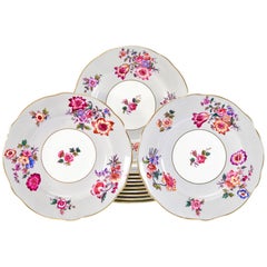
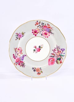
12 Coalport Grey and Polychrome Enamel Floral Shaped Rim Dinner Service Plates
By Coalport Porcelain
Located in Great Barrington, MA
This set of 12 Coalport dinner plates feature an unusual color combination of a soft gray border decorated with a vibrant palette of brightly painted flowers. There are various combi...
Porcelain
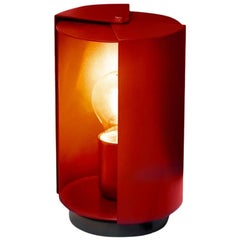

Charlotte Perriand 'Pivotante À Poser' Table Lamp in Red for Nemo
By Charlotte Perriand, Nemo Lighting 1, Cassina
Located in Los Angeles, CA
Charlotte Perriand 'Pivotante À Poser' table lamp in red for Nemo. Originally designed in 1950 by the iconic Charlotte Perriand, these newly produced authorized re-editions are sti...
Metal, Aluminum


English Victorian Period Vitrine Cabinet
Located in London, GB
This antique display cabinet, or vitrine, is an exquisite piece of furniture: dating from the late Victorian period in England, the cabinet is beautifully built from the finest mahog...
Glass, Mahogany, Wood

$5,952
H 29.53 in W 22.05 in D 0.4 in
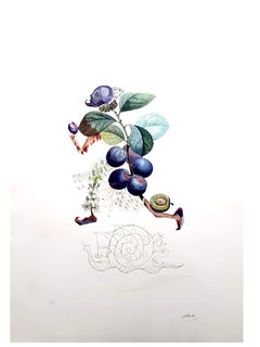
Salvador Dali - Plum - Original Hand-Signed Lithograph
By Salvador Dalí
Located in Collonge Bellerive, Geneve, CH
Salvador Dali - Plum - Original Hand-Signed Lithograph 1969 Dimensions: P. 57 x 37 cm Sheet: 75 x 56 cm Edition of 340 + proofs Editor : Jean Schneider, Basel Handsigned, EA (Epreuv...
Lithograph
$3,112Sale Price|20% Off
H 31.5 in W 80.71 in D 34.26 in
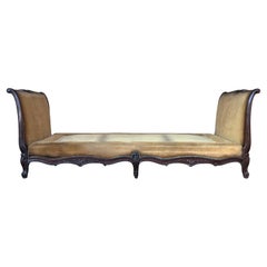
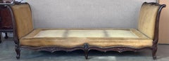
19th Century French Louis XV Period Carved Walnut Daybed
Located in Miami, FL
Magnificent 18th century French Louis XV period daybed. The bed needs a reupholstered , we can do it with the color velvet you choose.
Velvet, Walnut
$3,650
H 16.63 in W 1,463 in D 1 in
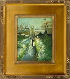
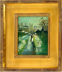
Le jardin de Daubigny Style of Vincent Van Gogh Daubigny's Garden by S. Goosson
Located in Soquel, CA
Le jardin de Daubigny Style of Vincent Van Gogh by Stephen Goosson The painting depicts the enclosed garden of Charles-François Daubigny, a French landscape painter whom Van Gogh ad...
Canvas, Oil, Illustration Board


$2,505Sale Price|20% Off
H 132.5 in W 80 in D 52.5 in
Edwardian Oak and Pine Haberdashery Cabinet with Glass-Fronted Drawers
Located in Faversham, GB
A wonderful set of oak and pine haberdashery drawers from a London tailor’s shop. The fitting is made up of twenty-one glass-fronted smooth-running long drawers with original brass ...
Oak, Pine


$24,000
H 28 in W 48 in D 96 in
Vladimir Kagan Serpentine Cloud Sofa & Pouf in Boucle and Brass, Directional
By Vladimir Kagan, Directional
Located in Culver City, CA
Cue the spotlight and the swoon — because this signed Vladimir Kagan Cloud Sofa is not just iconic, it’s got range. From sultry curves to that double polished brass disc base, this D...
Brass

$16,000Sale Price|50% Off
H 52 in W 9 in D 32 in
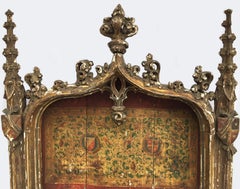
15th C Gothic Tabernacle 4 ft.+ Rare Architectural Religious Art, Museum Quality
Located in Vero Beach, FL
15th century period Gothic Tabernacle, extremely rare (Medieval) architectural religious art, museum quality ecclesiastical altar piece. This is an absolutely stunning circa 1450 or...
Wood, Paint
$10,072
H 39.38 in W 47.25 in D 19.69 in
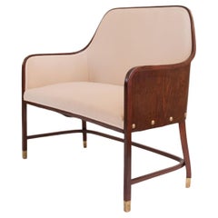
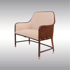
Original Josef Hoffmann & J. & J. Kohn Bench Vienna Secession, 1901
By Jacob & Josef Kohn, Josef Hoffmann, Woka Lamps
Located in Vienna, AT
A very rare and early bench, obviously the role model for the famous Barrel chair #720 which was presented four years later, in 1905.
Bentwood, Plywood


19th Century Italian Carved Inlaid Mahogany Burl Full Bed
Located in Miami, FL
Italian carved walnut double bed dating back to the first half of 19th century, in good condition, with a great original patina. The elegant and unique bed frame is solid walnut and ...
Mahogany