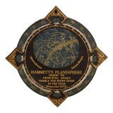
Hammett's Planisphere Celestial Map
View Similar Items

1 of 5
Hammett's Planisphere Celestial Map
About the Item
"Hammet's Planisphere, Showing The Principal Stars Visible For Every Hour Of The Year"
The piece is made of two pieces of solid cardboard with the top being finished with a faux leather look in black. The gold lettering and details are in excellent condition and are deeply stamped into the board creating an embossed effect. This would make a great display piece and would look handsome in a framed shadow box.
- Dimensions:Diameter: 12.5 in (31.75 cm)
- Period:
- Date of Manufacture:Early 1900's
- Condition:The condition is excellent and the map wheel easily rotates and functions very well. The gold lettering is bright and the map face has no signs of wear. There is some minor wear to the edges of the points and the back has some discoloration, but the instructions are still readable.
- Seller Location:Dallas, TX
- Reference Number:Seller: 49781stDibs: U1004308687155
You May Also Like
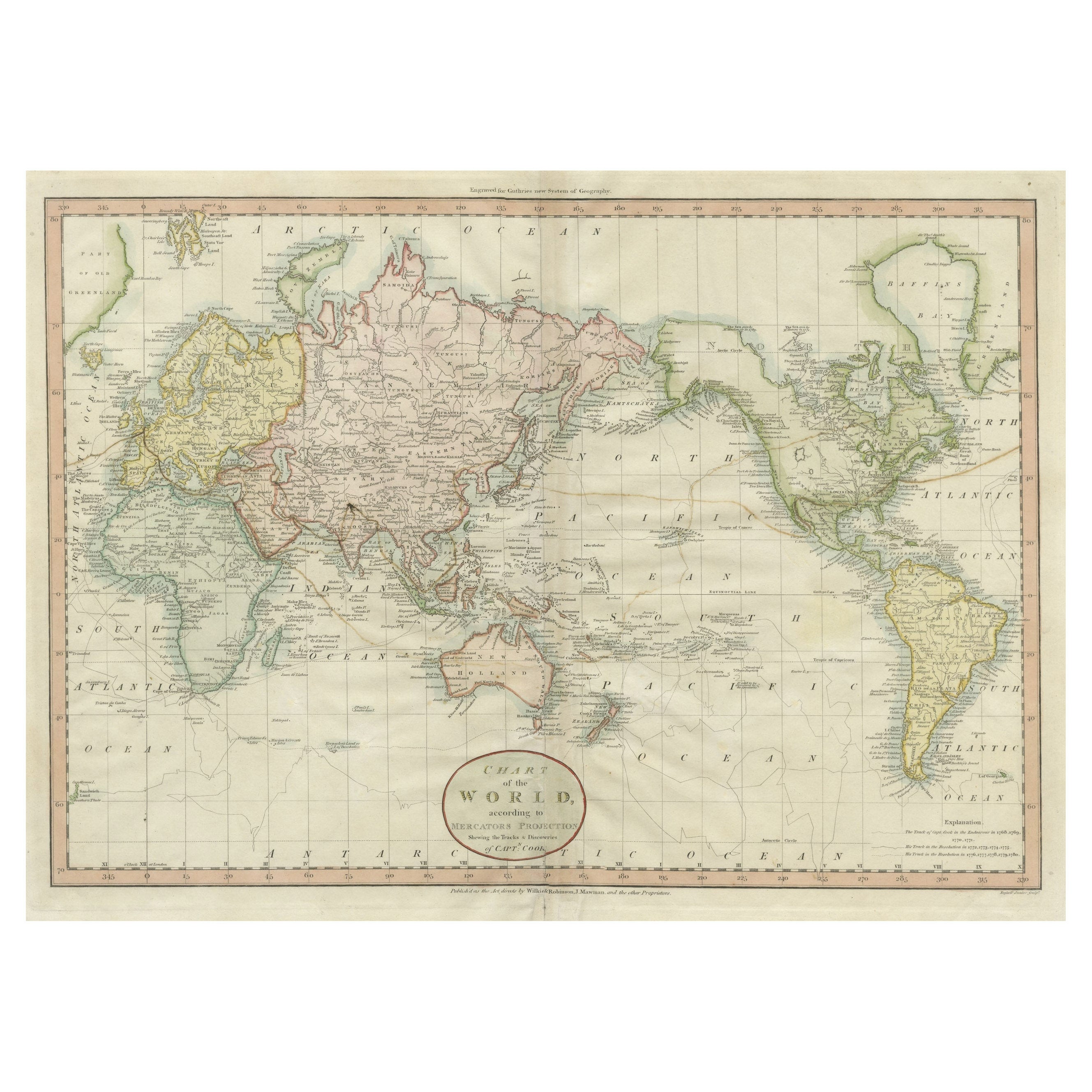
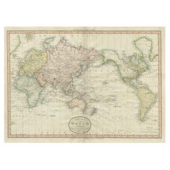
- Very Attractive Antique Map of the World as Planisphere, Shows Cook's VoyagesLocated in Langweer, NLAntique map titled 'Chart of the World, according to Mercators Projection'. This world map shows the various discoveries of Captain James Cook during his 3 voyages between 1768 and 1780, and the English and French Explorers who followed immediately thereafter, including Vancouver and La Perouse. This edition of the map is significantly revised from the editions issued immediately after the official report of Cook's Voyages were integrated into the map, showing better detail in New Zealand, Australia, the Northwest Coast of America and North East coast of Asia, along with Greenland. A new large lake also appears for the first time in the Western part of North America, shortly before the commencement of the Lewis...Category
Antique Late 18th Century Maps
MaterialsPaper
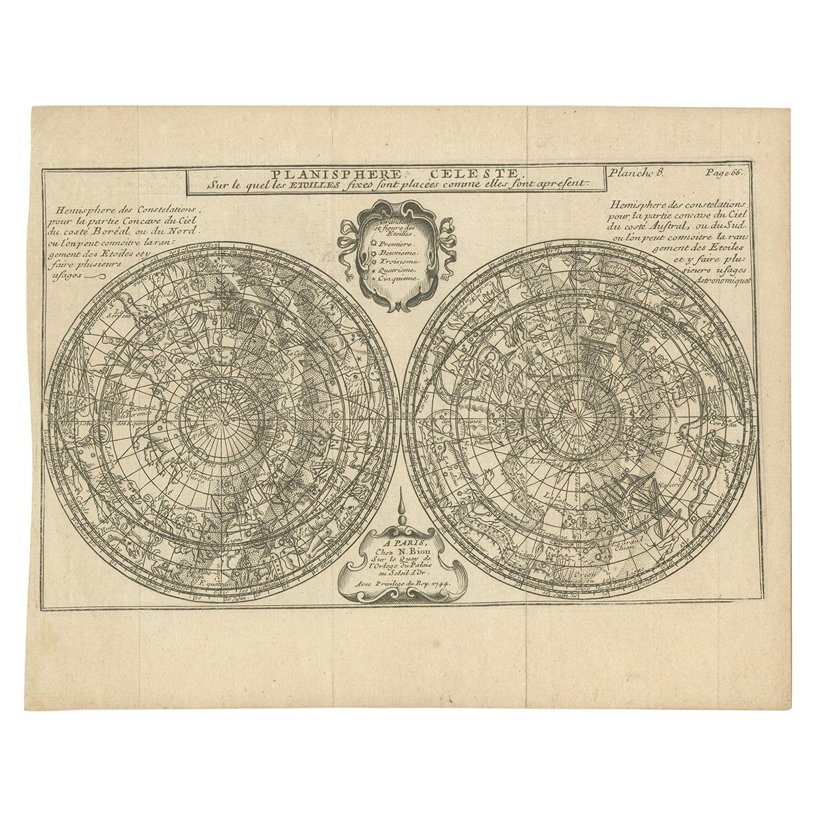
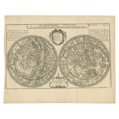
- Antique Planisphere with Constellations by Bion, 1751Located in Langweer, NLAntique map titled 'Planisphere Celeste'. Planisphere with various constellations. This map originates from 'L'Usage des globes célestes et terrestres et des sphères (..)' by N. Bion...Category
Antique Mid-19th Century Maps
MaterialsPaper
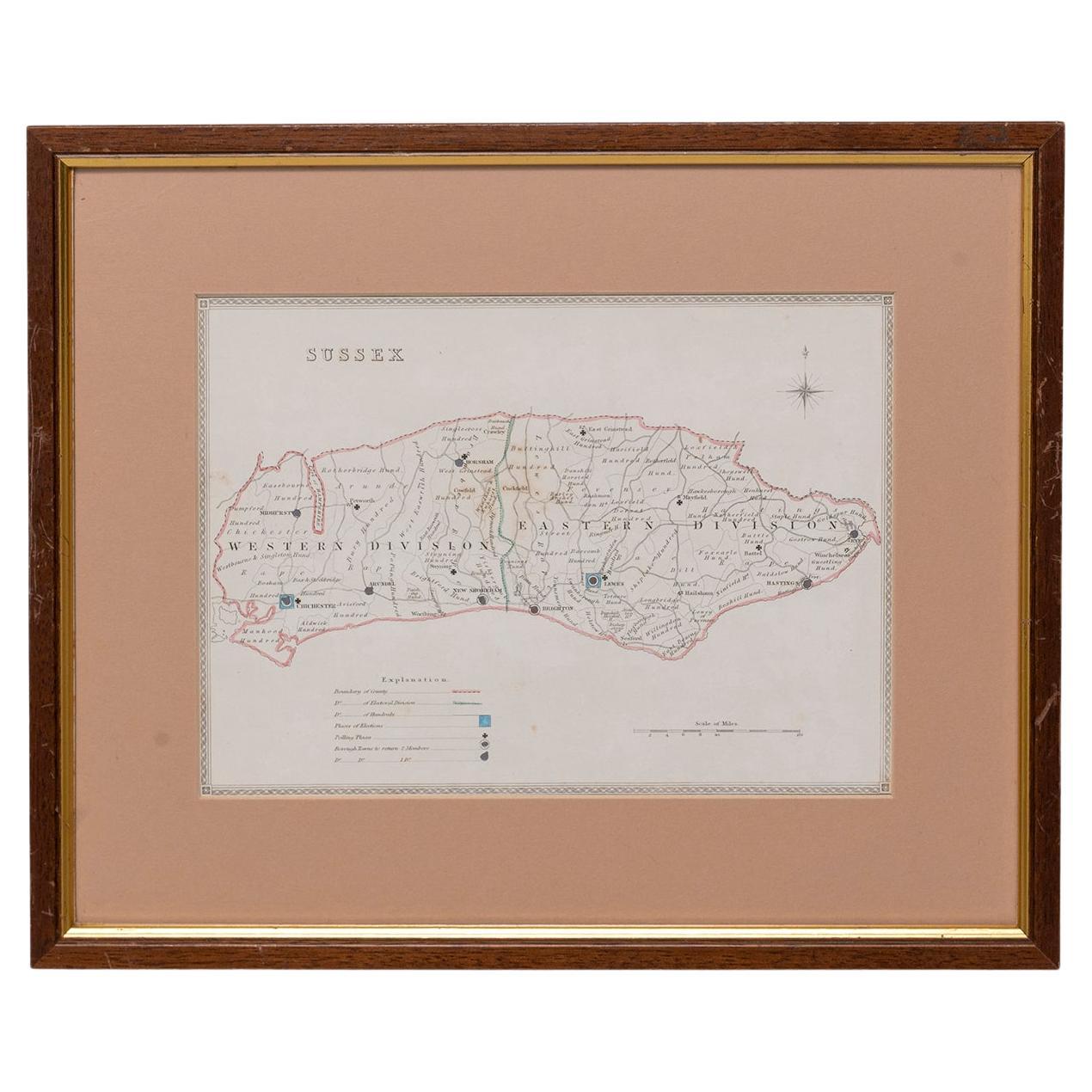
- Map SussexLocated in BUNGAY, SUFFOLKMap of Sussex with explanation Maker unknown.Category
Antique 19th Century English Victorian Maps
MaterialsPaper
 $767
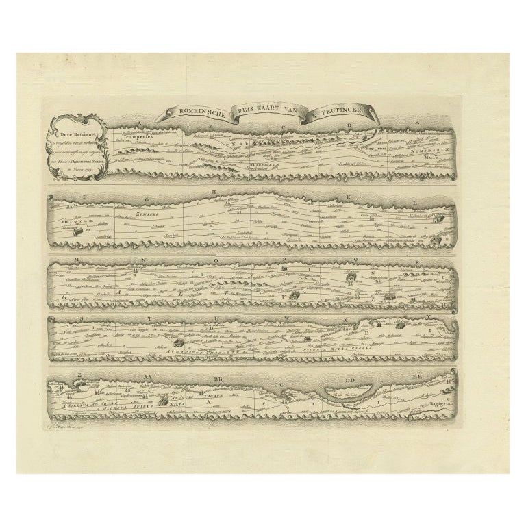
$767 - Antique Map Made After a Roman Papyrus Travel Map, Known as Peutinger Map, 1773Located in Langweer, NLOld Dutch engraving with title: 'Romeinsche Reis Kaart van K. Peutinger'. Rare antique map based on the original 'Peutinger' map, the map has the shape of papyrus scrolls. Originat...Category
Antique 18th Century Maps
MaterialsPaper
 $395 Sale Price20% Off
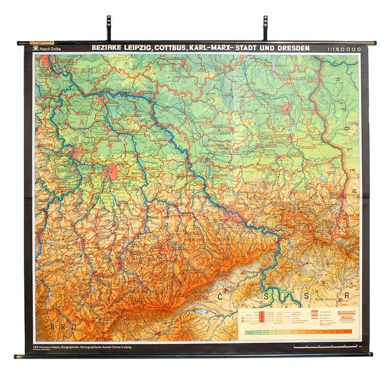
 - East German MapBy VEB Hermann HaackLocated in Baltimore, MDA brilliantly colourful map of the Leipzig, Karl Marx Stadt and Dresden area in the former German Democratic Republic by VEB Hermann Haack of Gotha.Category
Vintage 1970s German Maps
 $295 Sale Price25% Off
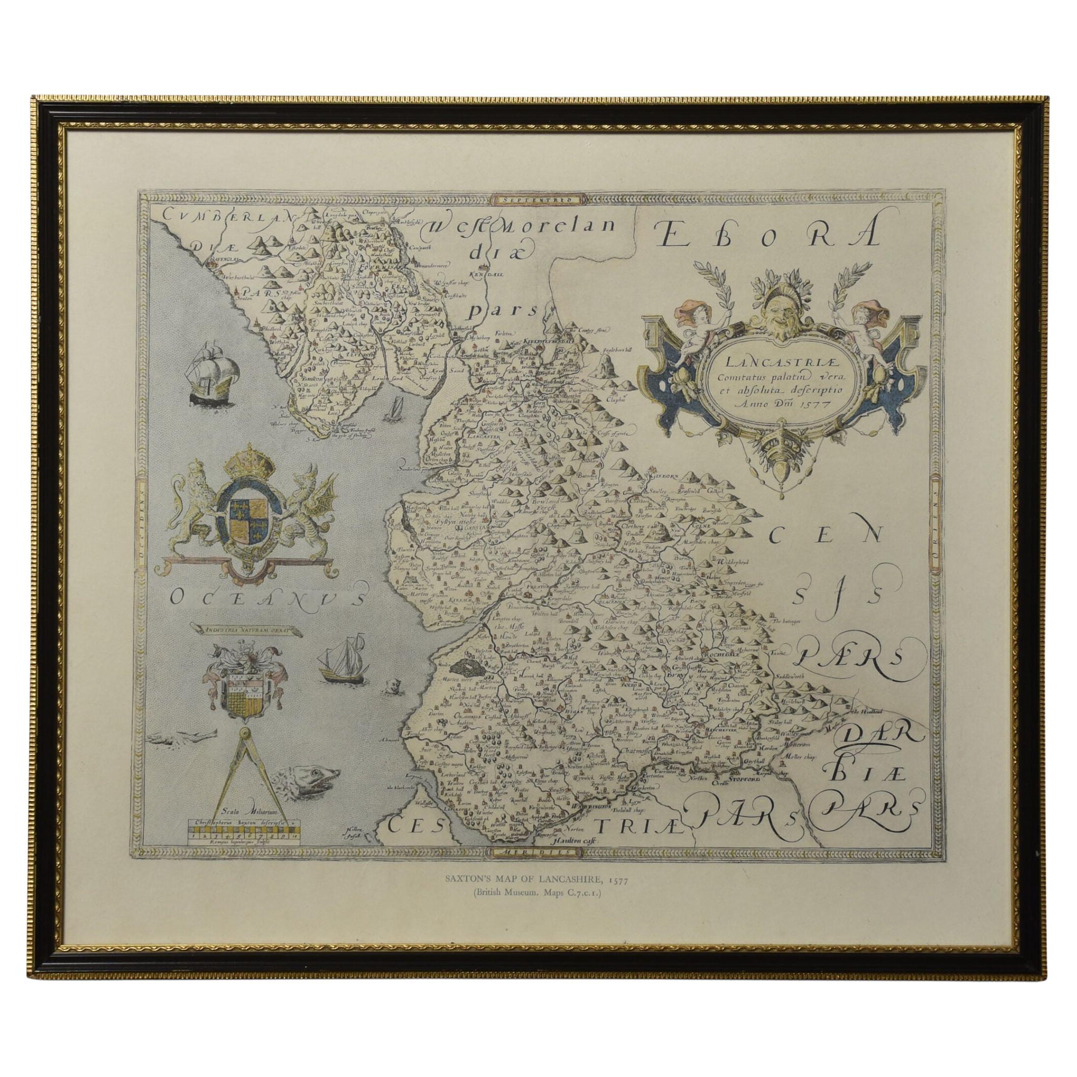
 - Map of LancashireLocated in Cheshire, GBSaxton Map of Lancashire hand coloured. Encased in an ebonised frame. Dimensions Height 21 Inches Width 24 Inches Depth 1 InchesCategory
Early 20th Century British Maps
MaterialsPaper

Recently Viewed
View AllMore Ways To Browse
Antique Map Box
Celestial Maps Antique
Antique Celestial Map
Antique Celestial Maps
Celestial Map
Antique Map Of Boston
Antique Maps Of Boston
Map Of Massachusetts
Antique Shadow Box Display
Constellation Map
Antique Constellation Map
Antique Maps Massachusetts
Antique Maps Of Massachusetts
Astrological Map
Astrology Map
Planisphere Antique
Antique Planisphere
World War 1 Items