Items Similar to Map Sussex


Want more images or videos?
Request additional images or videos from the seller
1 of 6
Map Sussex
About the Item
Map of Sussex with explanation
Maker unknown.
- Dimensions:Height: 31 in (78.74 cm)Width: 37 in (93.98 cm)Depth: 2 in (5.08 cm)
- Style:Victorian (Of the Period)
- Materials and Techniques:
- Place of Origin:
- Period:
- Date of Manufacture:circa 1820
- Condition:Wear consistent with age and use.
- Seller Location:BUNGAY, GB
- Reference Number:1stDibs: LU3867332645792
About the Seller
5.0
Vetted Seller
These experienced sellers undergo a comprehensive evaluation by our team of in-house experts.
Established in 1985
1stDibs seller since 2018
84 sales on 1stDibs
Typical response time: 13 hours
- ShippingRetrieving quote...Ships From: BUNGAY, United Kingdom
- Return PolicyA return for this item may be initiated within 7 days of delivery.
More From This SellerView All
- Map Huntingdonshire R Scott Archibald Fullarton & Co GlasgowLocated in BUNGAY, SUFFOLKFolding Map of Huntingdonshire by R Scott with distances from London and reference to the hundreds. Published by Archibald Fullarton & Co Glasgow. Measure: 40...Category
Antique 19th Century English Victorian Maps
MaterialsPaper
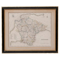
- Map Devonshire Richard Creighton J&C Walker Sculp Samuel LewisLocated in BUNGAY, SUFFOLKDevonshire drawn by Richard Creighton with reference to the Unions Artist Richard Creighton Engraved by J&C Walker Sculp Published in Samuel Lewis Topographical Dictionary 1831, a...Category
Antique 19th Century English Victorian Maps
MaterialsPaper
- Map Bedfordshire General FramedLocated in BUNGAY, SUFFOLKA general map of Bedfordshire with its hundreds A scale of 5 miles in the original green mount and traditional black and gold frame. Measures: 36cm 14" high.Category
Antique 18th Century English Georgian Maps
MaterialsPaper
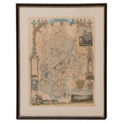
- Map Bedfordshire WilliamSchmollinger Dunstable Priory Woburn Abbey Moules GothicLocated in BUNGAY, SUFFOLKARTIST William Schmollinger (1811-1869) London : George Virtue, 1832. A highly attractive map in gothick style, with an ornamental architectural border, inset views of Dunstable Priory and Woburn Abbey...Category
Antique 19th Century English Victorian Maps
MaterialsPaper
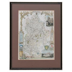
- Map Bedfordshire WilliamSchmollinger Dunstable Priory Woburn Abbey Moules GothicLocated in BUNGAY, SUFFOLKArtist William Schmollinger (1811-1869) London : George Virtue, 1832. A highly attractive map in gothick style, with an ornamental architectural border, inset views of Dunstable Priory and Woburn Abbey...Category
Antique 19th Century English Victorian Maps
MaterialsPaper
- Map Bedfordshire No 3 General FramedLocated in BUNGAY, SUFFOLKA general map of Bedfordshire with its hundreds. Measure: 37cm 14 1/2" high A scale of 5 miles. in the original green mount and traditional black and gold frame. charming map with...Category
Antique 18th Century English Georgian Maps
MaterialsPaper


You May Also Like
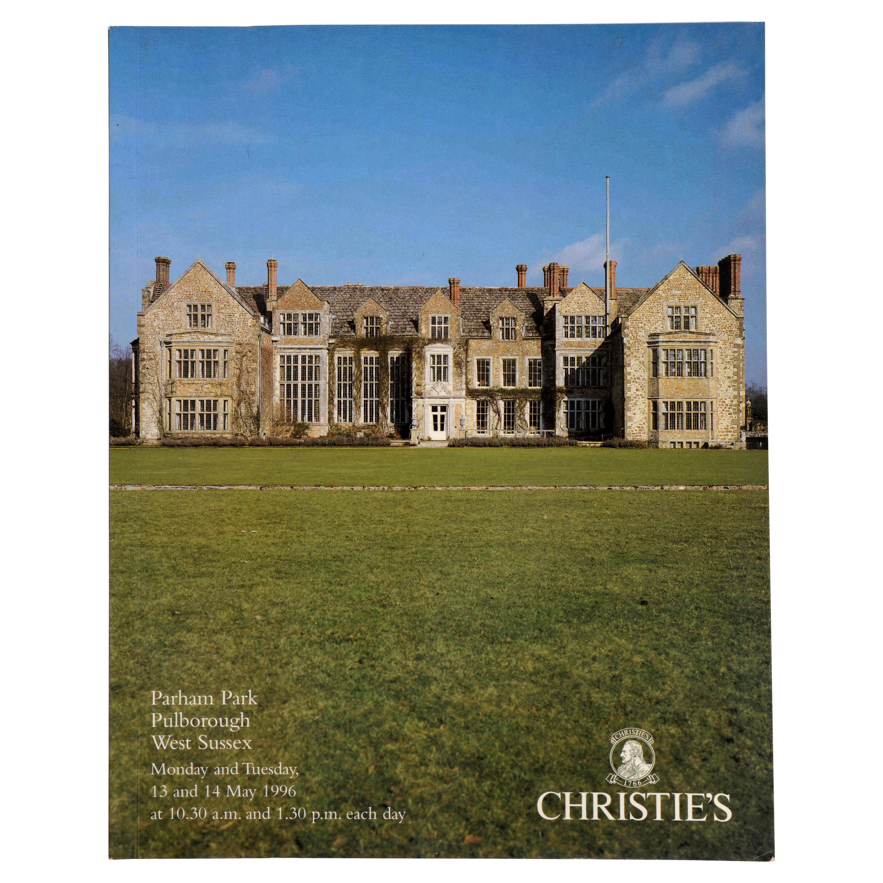
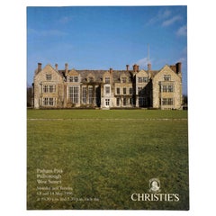
- Christie's: Parham Park Pulborough, West Sussex, May 1996Located in valatie, NYChristie's: Parham Park. Pulborough, West Sussex. May 1996. Auction catalogue. 184 pp. 1052 lots. Color photos. With results. Property from Parkham Park Tr...Category
1990s English Books
MaterialsPaper
- Original Antique Map of Indonesia, 1861Located in St Annes, LancashireGreat map of Indonesia Drawn and engraved by Edward Weller Original color Published in The Weekly Dispatch Atlas, 1861 Repairs to minor e...Category
Antique 1860s English Victorian Maps
MaterialsPaper

- Original Antique Map of Missouri, 1889Located in St Annes, LancashireGreat map of Missouri Drawn and Engraved by W. & A.K. Johnston Published By A & C Black, Edinburgh. Original colour Unframed.Category
Antique 1880s Scottish Victorian Maps
MaterialsPaper

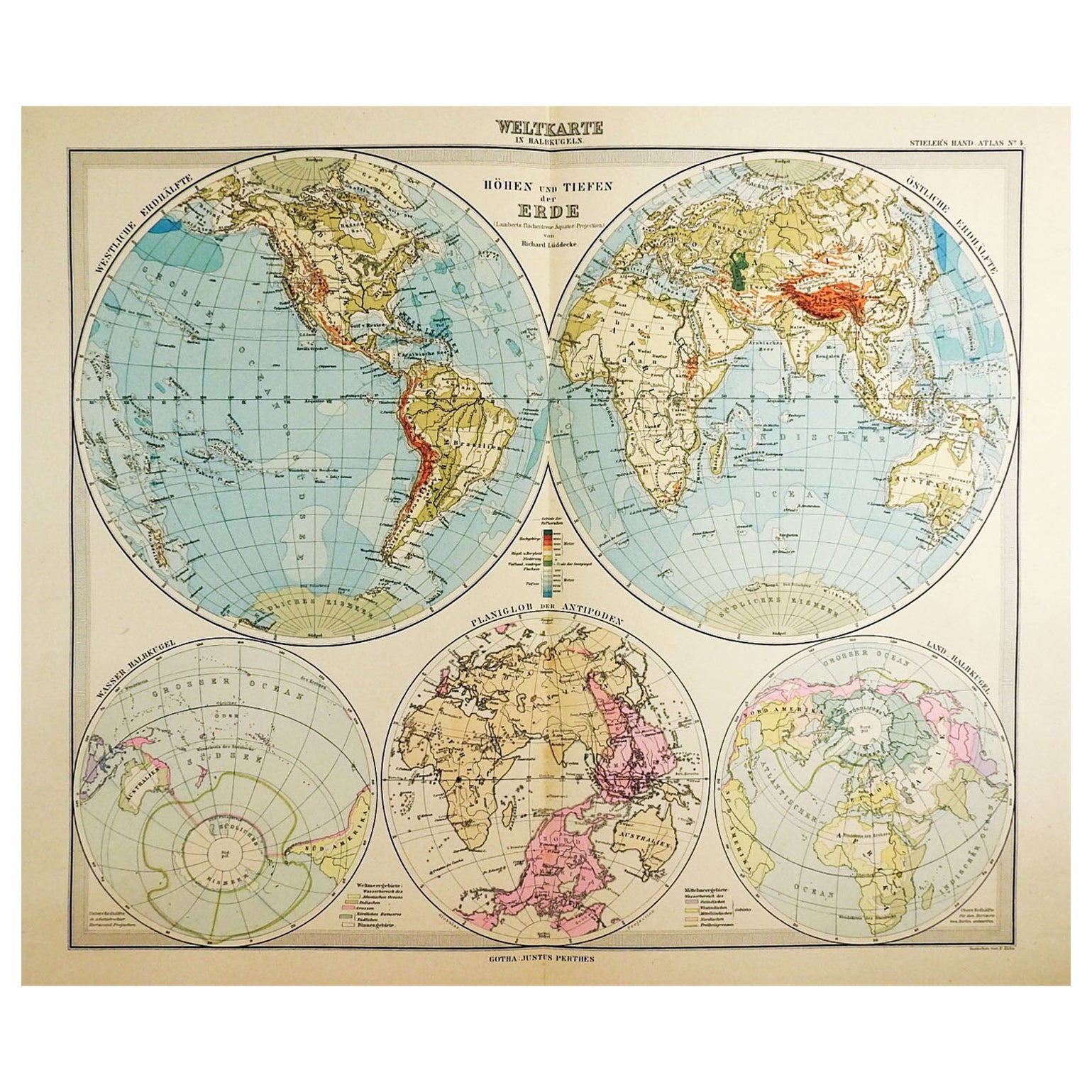
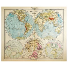
- 1900s Stielers Hand Atlas 100 MapsLocated in Seguin, TXStielers Hand Atlas, Gotha: Justus Perthes, Germany, circa 1905. Linen covered wood box containing 100 folded individual loose leaf maps of the world, text in german. Box made to loo...Category
Early 20th Century German Victorian Maps
MaterialsPaper
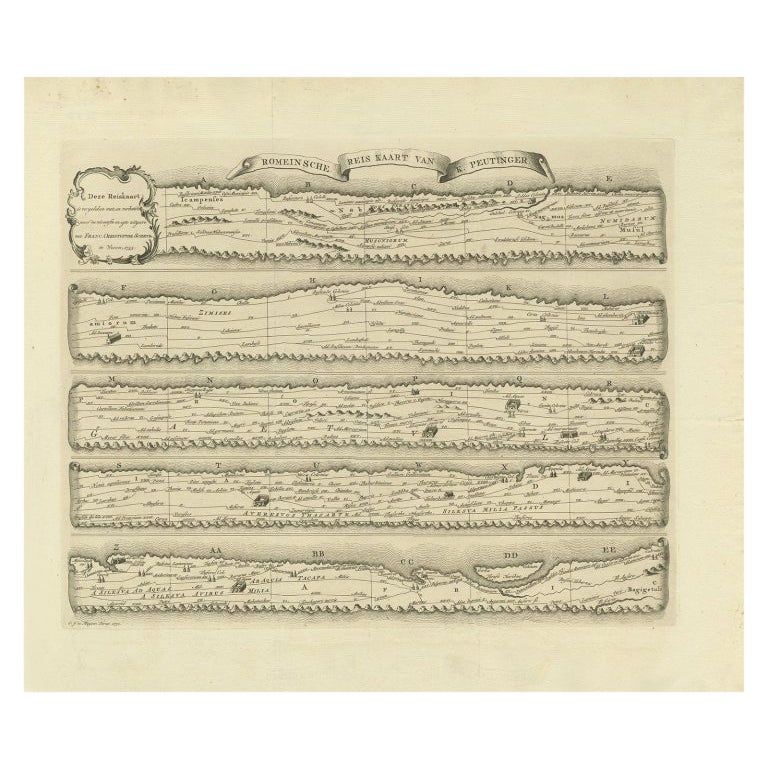
- Antique Map Made After a Roman Papyrus Travel Map, Known as Peutinger Map, 1773Located in Langweer, NLOld Dutch engraving with title: 'Romeinsche Reis Kaart van K. Peutinger'. Rare antique map based on the original 'Peutinger' map, the map has the shape of papyrus scrolls. Originat...Category
Antique 18th Century Maps
MaterialsPaper
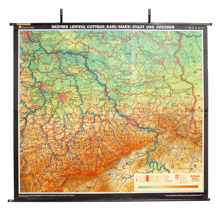
- East German MapBy VEB Hermann HaackLocated in Baltimore, MDA brilliantly colourful map of the Leipzig, Karl Marx Stadt and Dresden area in the former German Democratic Republic by VEB Hermann Haack of Gotha.Category
Vintage 1970s German Maps

Recently Viewed
View AllMore Ways To Browse
Used Furniture Sussex
Antique Furniture Sussex
Large Map Of London
18th Century Antique Mexican
Victorian Compass
Caribbean Antiques
Antique Collectors Australia
Framed Atlas Map
Antique Furniture Central Coast
Willem Blaeu
Antique Furniture North East England
Virginia Maps
Virginia Map
German Compass
Pocket Map
Antique Globes 18th Century
Antique Stand Up Scale
Map Zealand