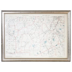
1891 Map of Norfolk County Massachusetts
Located in Norwell, MA
1891 map of Norfolk county Massachusetts including the towns of Wrentham, Franklin, Medfield, Sherborn, Norwood etc., measures: 23 x 31.
Category
1891 Map of Norfolk County Massachusetts
Located in Norwell, MA
1891 map of Norfolk county Massachusetts including the towns of Wrentham, Franklin, Medfield, Sherborn, Norwood etc., measures: 23 x 31.
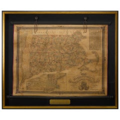
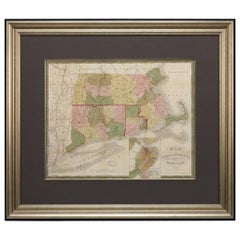
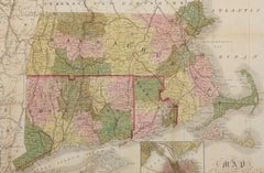
1854 Map of Massachusetts, Connecticut and Rhode Island, Antique Wall Map
Located in Colorado Springs, CO
This striking wall map was published in 1854 by Ensign, Bridgman & Fanning and has both full original hand-coloring and original hardware. This impression is both informative and...
Paper
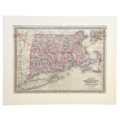
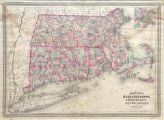
1870 "Johnson's Massachusetts, Connecticut and Rhode Island" Antique Map
Located in Colorado Springs, CO
Presented is an original 1870 "Johnson's Massachusetts, Connecticut and Rhode Island" map. First published in 1864, this map was issued as pages 34 and 35 in the 1870 edition of “Joh...
Paper
$72Sale Price|20% Off
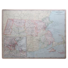
Large Original Antique Map of Massachusetts, USA, circa 1900
Located in St Annes, Lancashire
Fabulous map of Massachusetts In 2 sheets. They can be joined but I have not done it Original color Engraved and printed by the George F.
Paper
$347Sale Price|20% Off
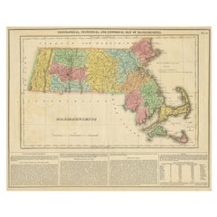
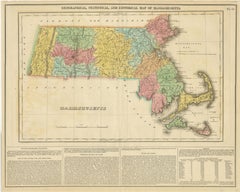
Antique Geographical, Historical and Statistical Map of Massachusetts, 1822
Located in Langweer, NL
This attractive map of Massachusetts presents a finely detailed overview of the state in the first quarter of the 19th century.
Paper
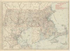
Antique Map of Massachusetts, The Bay State, Rand McNally, 1899
By Rand McNally & Co.
Located in Langweer, NL
Once framed, this antique map of Massachusetts would suit a home or office in the state today, and it will appeal to collectors of American state maps and railroad history.
Paper
$39Sale Price|20% Off
Original Antique Map of the American State of Massachusetts, 1903
Located in St Annes, Lancashire
Antique map of Vermont and New Hampshire Published By A & C Black. 1903 Original colour Good condition Unframed. Free shipping
Paper
Rare 1864 Civil War Era Map of Massachusetts, Connecticut, and Rhode Island
Located in Langweer, NL
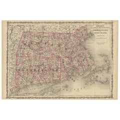
Title: Rare 1864 Civil War Era Map of Massachusetts, Connecticut, and Rhode Island Description: This exquisite antique map, titled "Johnson's Massachusetts, Connecticut, and Rhode I...
Paper
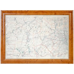
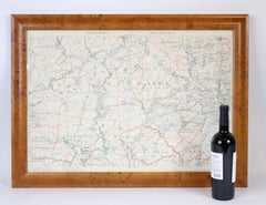
Original 1891 Walker Map
Located in Norwell, MA
Original 1891 map of Massachusetts by Walker. Towns include Cambridge, Boston, Dedham, Ashland, Brookline, Newton etc... burl wood frame.
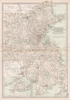
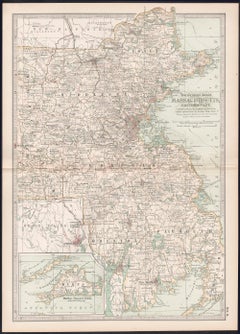
Massachusetts, Eastern Part. USA. Century Atlas state antique vintage map
Located in Melbourne, Victoria
'The Century Atlas. Massachusetts, Eastern Part' Original antique map, 1903.
Lithograph
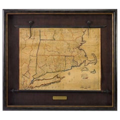
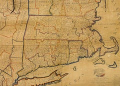
1824 Massachusetts, Connecticut and Rhode Island Antique Wall Map by E. Ruggles
Located in Colorado Springs, CO
The title cartouche is surrounded by the Great Seal of the United States at top and the seals of Connecticut, Massachusetts and Rhode Island at bottom. Edward Ruggles was a relativ...
Paper
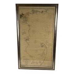
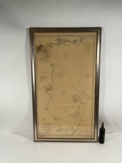
1918 George Eldridge Chart of Massachusetts Bay
Located in Norwell, MA
Rare early twentieth century chart of Cape Cod bay by George Eldridge showing Massachusetts Bay, and the coast from Chatham to Gloucester 1918. Signed George Eldridge. This great ch...
Paper
Sold
H 29.75 in W 34 in D 2.25 in
1850 Map of Massachusetts, Connecticut, and Rhode Island, Antique, Hand-Colored
Located in Colorado Springs, CO
This attractive pocket map depicts the New England states of Massachusetts, Connecticut, and Rhode Island.
Paper
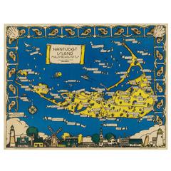
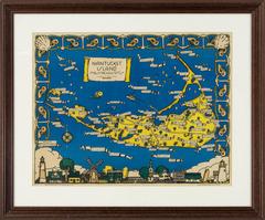
Rare Decorative Map of Nantucket Designed Jack Atherton, circa 1937
Located in Nantucket, MA
Jack (Bonney) Atherton. A decorative map of Nantucket Island, Massachusetts. LeBaron-Bonney Co., Bradford, Massachusetts: circa 1937-1938.
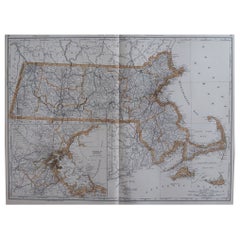

Large Original Antique Map of Massachusetts, USA, 1894
By Rand McNally & Co.
Located in St Annes, Lancashire
Fabulous map of Massachusetts. Original color. By Rand, McNally & Co.
Paper
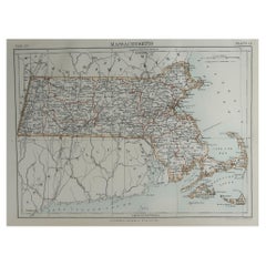

Original Antique Map of The American State of Massachusetts, 1889
Located in St Annes, Lancashire
Great map of Massachusetts Drawn and Engraved by W. & A.K.
Paper
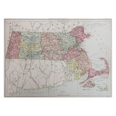

Original Antique Map of the American State of Massachusetts, 1889
Located in St Annes, Lancashire
Great map of Massachusetts Drawn and Engraved by W. & A.K.
Paper
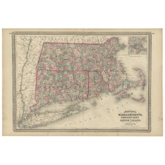

Sold
H 17.92 in W 26.58 in D 0.02 in
Antique Map of Massachusetts, Connecticut and Rhode Island by Johnson, 1872
Located in Langweer, NL
Antique map titled 'Johnson's Massachusetts, Connecticut and Rhode Island'.
Paper
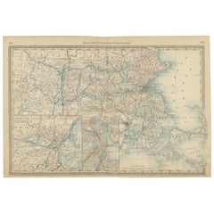
Sold
H 14.18 in W 20.67 in D 0.01 in
Massachusetts Antique Map c.1888 – The Bay State, Railroads & Boston Inset
Located in Langweer, NL
Antique Map of Massachusetts with Boston Inset – Rand McNally, circa 1888 This antique map of Massachusetts was published by Rand, McNally & Co. around 1888.
Paper
18th Century Hand Colored Map of The State of Massachusetts, 1796
Located in Nantucket, MA
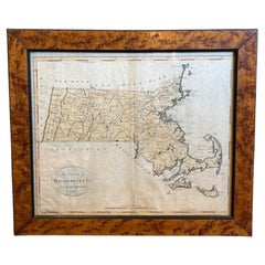
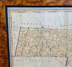
18th Century Hand Colored Map of "The State of Massachusetts from the best information," 1796, by cartographer and illustrator John Reid published in his "American Atlas," a period e...
Paper
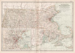

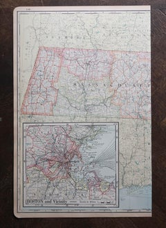
Massachusetts. USA Century Atlas state antique vintage map
Located in Melbourne, Victoria
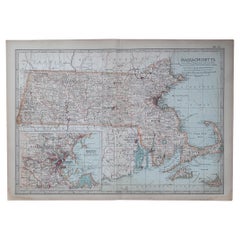
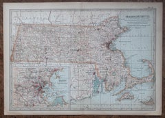
'The Century Atlas. Massachusetts' Inset map of 'Boston and Vicinity'. Original antique map, 1903.
Lithograph
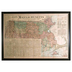

Giant Framed Map of Massachusetts, circa 1903
By Scarborough Company
Located in Essex, MA
A giant framed map of the Commonwealth of Massachusetts, measuring 62" wide x 44" high and published by The Scarborough Company, Boston, in 1903.
Paper, Plexiglass, Wood
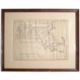

SCHOOL GIRL HAND DRAWN MAP OF MASSACHUSETTS, circa 1815
Located in Essex, MA
Pen and ink school girl hand drawn map of Massachusetts, rendered in great detail with topography, counties, cities and towns annotated.
Paper, Ink, Pen
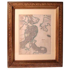

1842 Map of Boston
Located in Essex, MA
An 1842 Map of Boston, Massachusetts and surrounding communities, published by the Society for the Diffusion of Useful Knowledge, London, with watercolor highlights in green and red,...
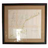
Map of Massachusetts Sea Coast circa1856
Located in Bridgehampton, NY
US coastal survey map of the Massachusetts coast line, hand colored lithograph in amazing condition, archival framing.
$72Sale Price|20% Off
H 22 in W 15 in D 0.07 in
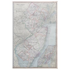
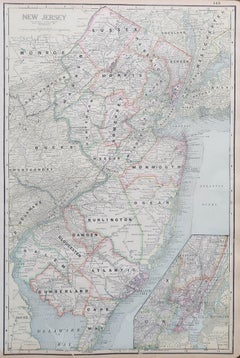
Large Original Antique Map of New Jersey, USA, circa 1900
Located in St Annes, Lancashire
Fabulous map of New Jersey Original color Engraved and printed by the George F. Cram Company, Indianapolis. Published, circa 1900 Unframed Repairs to minor edge tears
Paper

$1,500Sale Price|24% Off
H 20.08 in W 25.99 in D 0.02 in
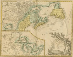
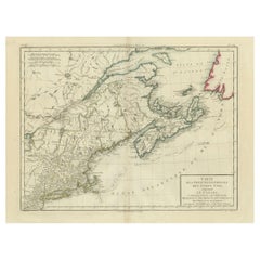
Antique Map of New England and Part of Canada by Vaugondy 'circa 1755'
Located in Langweer, NL
Antique map titled 'Partie de l'Amérique septent qui comprend la nouvelle France ou le Canada'. Decorative and highly detailed map of New England and part of Canada, extending east t...
Paper
$511Sale Price|20% Off
H 16.34 in W 22.25 in D 0.01 in
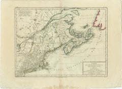
Antique Map of the Northeastern United States and Canada by Tardieu, 1802
Located in Langweer, NL
This antique map titled "Carte de la Partie Septentrionale des Etats Unis," created by Pierre Antoine Tardieu, depicts the northeastern part of the United States and parts of Canada....
Paper
$15,500
H 54.25 in W 50 in D 3.25 in
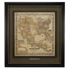
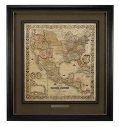
1856 "Map of the United States" by Ensign, Bridgeman, and Fanning
Located in Colorado Springs, CO
Presented is a scarce American wall map of the United States and Mexico issued by Ensign, Bridgman, and Fanning in 1856. As the title suggests, the map covers all of the United State...
Paper
$950
H 16.5 in W 20.13 in D 1 in
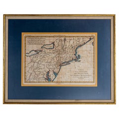
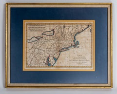
Hand-Colored French Map, Carte des Etats Unis, Par Bonne, Late 18th Century
By Rigobert Bonne
Located in Chappaqua, NY
Hand-colored French map, Carte de la Partie Nord, des Etats Unis, de l'Amérique Septentrionale, late 18th century. A French map of New England published at the end of the Revolutiona...
Paper
$1,250
H 10.25 in W 13.25 in D 0.5 in
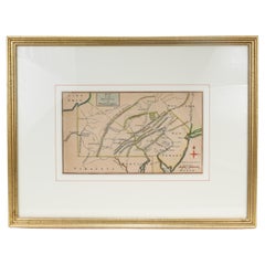
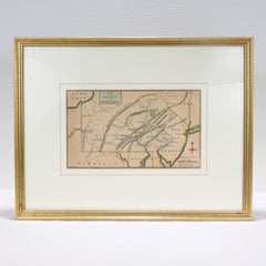
Antique 18th Century Map of the Province of Pensilvania 'Pennsylvania State'
Located in Philadelphia, PA
A fine antique of the colony of Pennsylvania. Noted at the top of the sheet as a 'Map of the province of Pensilvania'. This undated and anonymous map is thought to be from the...
Paper
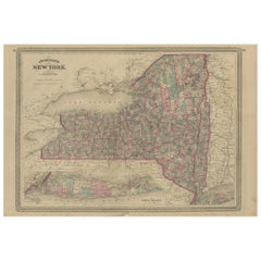
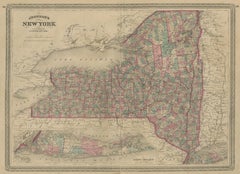
Antique Map of New York by Johnson '1872'
Located in Langweer, NL
Antique map titled 'Johnson's New York'. Original map showing New York, with an inset map of Long Island. This map originates from 'Johnson's New Illustrated Family Atlas of the Worl...
Paper
$4,500
H 44.5 in W 33 in D 1.5 in
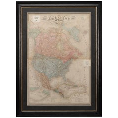
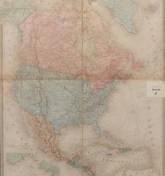
1864 Map of North America, Antique Hand-Colored Map, by Adolphe Hippolyte Dufour
Located in Colorado Springs, CO
Offered is a map of North America entitled Amerique du Nord from 1864. This rare, separately published wall map was produced by Adolphe Hippolyte Dufour. This map includes vibrant an...
Paper
$4,850
H 25.5 in W 35.5 in D 0.07 in
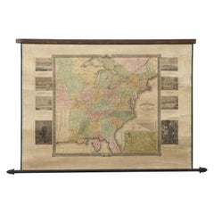
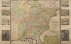
"The United States from the Latest Authorities" Antique Wall Map, 1835
Located in Colorado Springs, CO
This is a 1835 map of “The United States from the Latest Authorities” by Ezra Strong. A hand-colored engraved wall map of the eastern half of the United States, this map has a large ...
Paper
$39Sale Price|20% Off
H 11.5 in W 16.25 in D 0.07 in
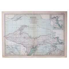
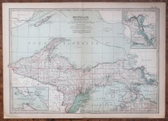
Original Antique Map of the American State of Michigan ( Northern Part ), 1903
Located in St Annes, Lancashire
Antique map of Michigan ( Northern part ) Published By A & C Black. 1903 Original colour Good condition Unframed. Free shipping
Paper
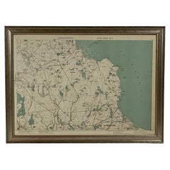
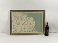
1891 Map of Plymouth County Mass
Located in Norwell, MA
Original 1891 map showing Sandwich, Bourne, Plymouth Carver, Middleborough, Plympton and Kingston. Showing Long Beach in Plymouth also as well as all shore points. Cape Cod Bay is ma...
Paper
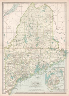
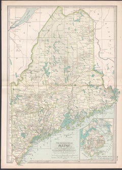
Maine. USA Century Atlas state antique vintage map
Located in Melbourne, Victoria
'The Century Atlas. Maine' Original antique map, 1903. Central fold as issued. Map name and number printed on the reverse corners. Sheet 40cm by 29.5cm.
Lithograph
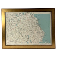
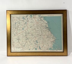
1891 Map of South Shore of Boston
Located in Norwell, MA
Original 1891 map showing Cohasset, Scituate, Marshfield, Duxbury, Kingston, Norwell, Hanover, Hingham, Hull, Holbrook, Weymouth, Hanson, Pembroke, etc. Framed with glass. Circa 1891.
Paper
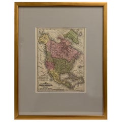
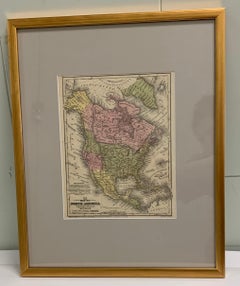
Framed 1839 Hand Colored Map of the United States
Located in Stamford, CT
Framed hand colored map of the United States of America from 1839. Newly framed in a giltwood frame.
Giltwood, Paper, Glass
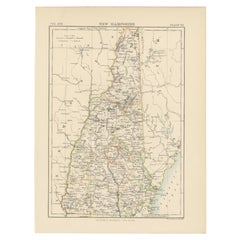
Antique Map of New Hampshire
Located in Langweer, NL
Antique map titled 'New Hampshire'. Original antique map of New Hampshire, United States. This print originates from 'Encyclopaedia Britannica', Ninth Edition. Published 1884. Th...
Paper

$274Sale Price|40% Off
H 18.71 in W 24.02 in D 0.02 in
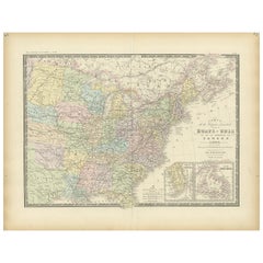
Antique Map of the Eastern United States by Levasseur '1875'
Located in Langweer, NL
Antique map titled 'Carte de la Region orientale des États-Unis et de la dominion du Canada'. Large map of the Eastern United States. This map originates from 'Atlas de Géographie Mo...
Paper
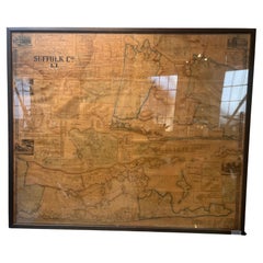
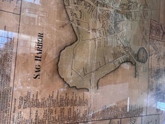
Framed Mid-19th Century Wall Map of Long Island, the Hamptons
Located in Sag Harbor, NY
A Framed museum quality find. This large wall map dates to the mid-1800s. Detailed inset maps of, Sag Harbor, East Hampton, Amagansett, Shelter Island and most villages in Long Islan...
Linen, Paper
Antique and vintage collectibles and curiosities can bring whimsy and wonder to any interior.
Decorating with old scientific instruments, historical memorabilia and vintage musical instruments, as well as other authentic collectibles and curiosities that can be found on 1stDibs, presents an opportunity to create a unique, natural history museum-like atmosphere in your home that can provoke conversation as often as it pays tribute to how far we’ve come in understanding our world.
And bringing collectibles and curiosities into your space is actually on trend — Wunderkammern, or curiosity cabinets, were all the rage in Europe during the 1500s and continued to have adherents there and in the U.S. in the following centuries. Today, however, they’re experiencing a real surge in popularity and influencing how many interior designers are furnishing and decorating homes — combining contemporary with antique, scientific with tribal, earthly with extraterrestrial, Les Lalanne tables with Flemish tapestries.
The original Wunderkammern were entire rooms filled with objects demonstrating their owners’ worldly knowledge: A proper one included artificiala or preciosa (objets d’art); naturalia (such as skeletons, shells, minerals); exotica (taxidermy or dried plants); and scientifica (scientific instruments), frequently alongside religious relics and ancient artifacts.
Pay tribute to a history of rich and diverse musical traditions that have taken shape all over the world by decorating your home with a collection of antique and vintage musical instruments — with a little help from strong hanging wire or some wall hooks, vintage brass instruments such as a gong, French horn or trumpet can help elevate a home office or complement the efforts you’ve made to ensure a welcoming vibe in your home’s entryway. Bells or antique wind instruments can add provocative metallic contrasts to dark woods as tabletop decorative objects.
Create an intriguing focal point with Georgian scientific instruments, such as stick barometers with mahogany cases or lacquered brass telescopes. These items stem from an era named for the monarchies of the four King Georges, who ruled England in succession starting in 1714 (plus King William’s reign, which lasted until 1837). Just as there was beautiful jewelry produced during the period that today is coveted by collectors, there is much to be found in the collectibles and curiosities realm too.
Wanderlust, nostalgia and a shared love of good design are contributing factors to certain trends in decorating — just as vintage trunks and luggage have reappeared as furniture or home accents in a bedroom or foyer, decorating with globes, maps or nautical objects is similarly rooted in the allure of travel and a penchant for the stylish finishing touch that collectibles bring to our homes.
Find a wide range of antique and vintage collectibles and curiosities on 1stDibs.
It's hard to resist the allure of a beautiful pool. So, go ahead and daydream about whiling away your summer in paradise.
It’s never too early for good design. These interiors combine elevated furnishings and a youthful spirit, resulting in spaces that are at once elegant and whimsical.
Produced in 1843, the well-preserved volume is evidence of the author's exacting specifications.
New or old, the coverlets add old-time charm to any space.
Get into the games! These items celebrate the events, athletes, host countries and sporting spirit.
French trendsetter and serial collector Daniel Rozensztroch tells us about his obsession with objects related to seafaring men.
The sought-after designer worked with the team at Hoffman Creative to produce a monograph that beautifully showcases some of Studio Shamshiri's most inspiring projects.
Italian writer and collector Umberto Pasti opens the doors to his remarkable cave of wonders in North Africa.