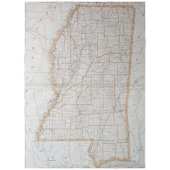
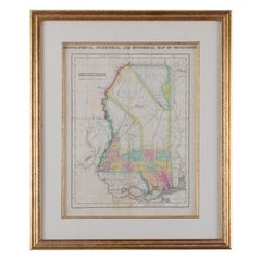
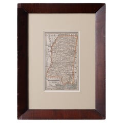
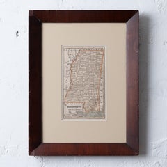
Choose from an assortment of styles, material and more with respect to the antique mississippi map you’re looking for at 1stDibs. An antique mississippi map — often made from
paper,
animal skin and
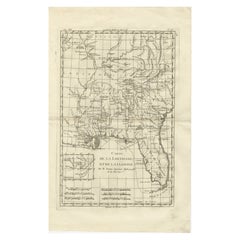
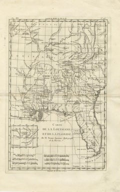
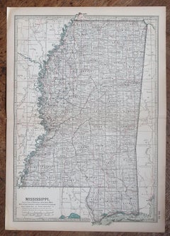
glass — can elevate any home. Whether you’re looking for an older or newer antique mississippi map, there are earlier versions available from the 18th Century and newer variations made as recently as the 19th Century. An antique mississippi map, designed in the
Georgian style, is generally a popular piece of furniture. You’ll likely find more than one antique mississippi map that is appealing in its simplicity, but
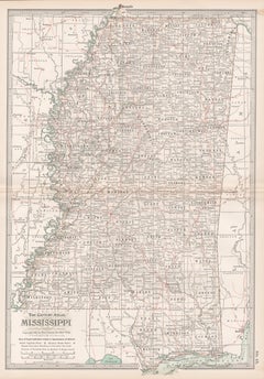
Gray and Co,
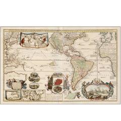
Herman Moll and
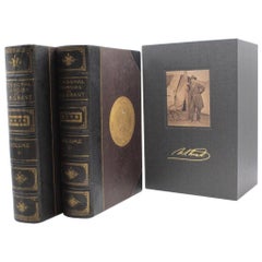
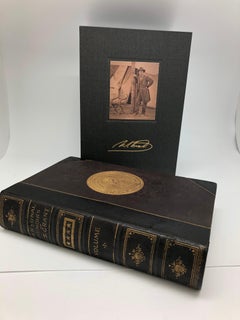
Ulysses S. Grant produced versions that are worth a look.
An antique mississippi map can differ in price owing to various characteristics — the average selling price 1stDibs is $1,150, while the lowest priced sells for $85 and the highest can go for as much as $10,000.