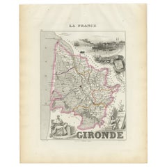
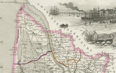
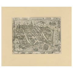
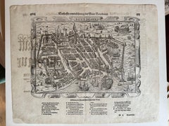
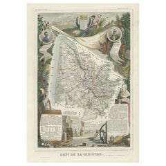
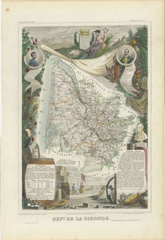
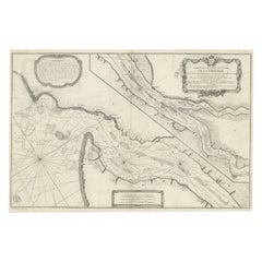
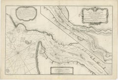
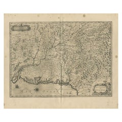
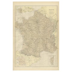
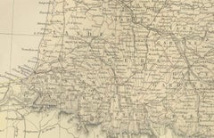
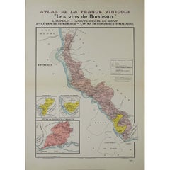
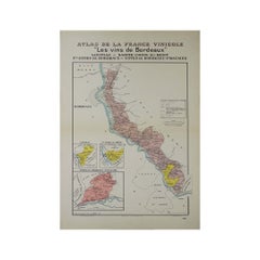
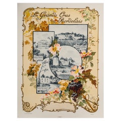
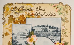
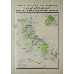
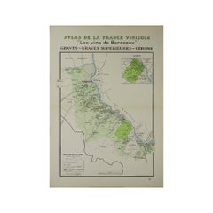
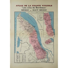
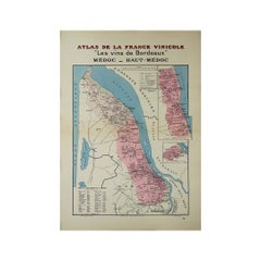
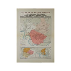
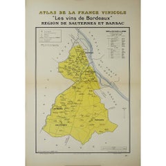
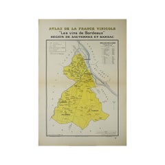
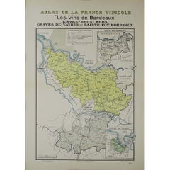
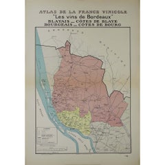
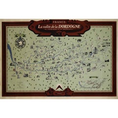
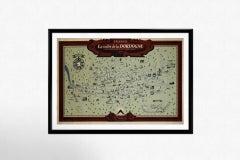
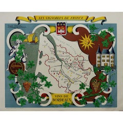
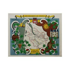
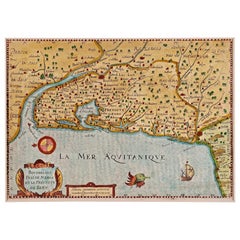
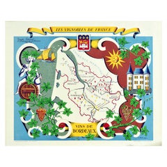
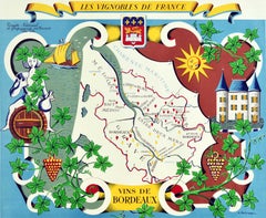
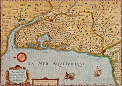
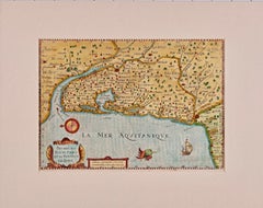
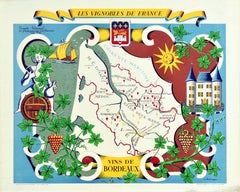
Bordeaux Map
to
3
20
3
15
14
9
6
4
3
2
2
2
1
1
1
1
1
1
1
1
1
1
1
Sort By
Circa 1950 original illustrated map for "Carte France autour de Bordeaux"
Located in PARIS, FR
The circa 1950 original illustrated map for "Carte France autour de Bordeaux" is an excellent
Category
1950s Prints and Multiples
Materials
Paper, Linen
$472
H 20.48 in W 17.72 in
Bordeaux City View – Braun & Hogenberg Original Woodcut, ca. 1575
Located in Langweer, NL
Bordeaux City View – Braun & Hogenberg Original Woodcut, ca. 1575
Description:
This detailed and
Category
Antique 16th Century German Maps
Materials
Paper
Levasseur's 1852 Cartographic Portrait of Gironde: Celebrating the Bordeaux Wine
Located in Langweer, NL
, which is a central feature of the Bordeaux region located within Gironde.
The right side of the map
Category
Antique 1850s Maps
Materials
Paper
$321 Sale Price
20% Off
H 20.67 in W 14.06 in D 0 in
Gironde, Where Rivers Dordogne & Garonne Meet Near Bordeaux, France, ca.1770
Located in Langweer, NL
Antique map titled 'Carte des Entrées et Cours de la Gironde'.
Large map of the region of the
Category
Antique 1770s Maps
Materials
Paper
$983 Sale Price
20% Off
H 24.81 in W 37.41 in D 0 in
1882 Map of France Highlighting Political Boundaries, Cities, Insets of Corsica
Located in Langweer, NL
, Marseille, and Bordeaux. The map also highlights significant transportation routes, including railways and
Category
Antique 1880s Maps
Materials
Paper
$295
H 22.45 in W 15.36 in D 0 in
Antique Map of the Region of Guyenne by Janssonius, 1657
By Johannes Janssonius
Located in Langweer, NL
and the archdiocese of Bordeaux. This map originates from 'Atlas Novus, Sive Theatrum Orbis Orbis
Category
Antique 17th Century Maps
Materials
Paper
$338 Sale Price
20% Off
H 19.69 in W 23.63 in D 0 in
Wine Map of Bordeaux
Located in New York, NY
Original color lithograph for Établissements D. Cordier S.A. Draeger, Imp., circa 1938.
Category
1930s Prints and Multiples
Materials
Paper
1941 original map "Les vins de Bordeaux - Loupiac, ..." by Larmat
Located in PARIS, FR
, marked by the tumult of World War II, the map reflects the resilience of the Bordeaux wine industry
Category
1940s Prints and Multiples
Materials
Lithograph, Paper
$1,182
H 25.6 in W 17.72 in
Original Art Nouveau Map, Grands Crus Bordeaux, Lafite, Yquem, Margaux, 1899
Located in SAINT-OUEN-SUR-SEINE, FR
Art Nouveau poster created in 1899 by Géojan to promote the great wines of Bordeaux, namely Château
Category
20th Century French Art Nouveau Posters
Materials
Paper
$2,340
H 25.2 in W 18.82 in D 0.04 in
1941 original map "Les vins de Bordeaux - Graves, Graves supérieurs" by Larmat
Located in PARIS, FR
The 1941 original map by L. Larmat, titled "Atlas de la France vinicole – Les vins de Bordeaux
Category
1940s Prints and Multiples
Materials
Lithograph, Paper
$1,182
H 25.6 in W 17.72 in
1941 original map "Les vins de Bordeaux - Médoc, Haut-Médoc" by Larmat
Located in PARIS, FR
The 1941 original map by L. Larmat, titled "Atlas de la France vinicole – Les vins de Bordeaux
Category
1940s Prints and Multiples
Materials
Lithograph, Paper
$1,182
H 25.6 in W 17.72 in
1941 original map "Les vins de Bordeaux - Saint-Émilion, Pomerol..." by Larmat
Located in PARIS, FR
The 1941 original map by L. Larmat, titled "Atlas de la France vinicole – Les vins de Bordeaux
Category
1940s Prints and Multiples
Materials
Lithograph, Paper
$1,182
H 25.6 in W 17.72 in
1941 original map "Les vins de Bordeaux - Régions de Sauternes" by Larmat
Located in PARIS, FR
The 1941 original map by L. Larmat, titled "Atlas de la France vinicole – Les vins de Bordeaux
Category
1940s Prints and Multiples
Materials
Lithograph, Paper
$1,182
H 25.6 in W 17.72 in
1941 original map "Les vins de Bordeaux - Entre-deux-mers, Graves... " by Larmat
Located in PARIS, FR
, capturing the intricate landscape of Bordeaux’s renowned wine regions.
The map emerged during a tumultuous
Category
1940s Prints and Multiples
Materials
Lithograph, Paper
$1,182
H 25.6 in W 17.72 in
1941 original map "Les vins de Bordeaux - Blayais, Côtes de Blaye" by Larmat
Located in PARIS, FR
Bordeaux - Blayais, Côtes de Blaye, Bourgeais, Côtes de Bourg, printed by Dorel in Paris. This map serves
Category
1940s Prints and Multiples
Materials
Lithograph, Paper
$1,182
H 25.6 in W 17.72 in
1948 original map titled La Vallée de la Dordogne de Bordeaux à la Bourboule
Located in PARIS, FR
The 1948 original map titled La Vallée de la Dordogne de Bordeaux à la Bourboule was created by the
Category
1940s Prints and Multiples
Materials
Lithograph, Paper
$1,359
H 31.5 in W 47.25 in
Stunning illustrated wine map by French artist Rémy Hétreau in the 1950s
Located in PARIS, FR
of the composition, a finely drawn map of Bordeaux highlights its most famous wine-growing areas
Category
1950s Prints and Multiples
Materials
Paper, Lithograph
$1,063
H 26.38 in W 33.47 in
1941 original map "Atlas de la France vinicole - Les vins de Bordeaux" by Larmat
Located in PARIS, FR
The 1941 original map by L. Larmat, titled "Atlas de la France vinicole – Les vins de Bordeaux", is
Category
1940s Prints and Multiples
Materials
Lithograph, Paper
$1,182
H 25.6 in W 17.72 in
Antique Map of Southwestern France by Homann Heirs, c.1730
Located in Langweer, NL
the city of Bordeaux. The map carries good detail of the Pyrenees and a highly detailed depiction of
Category
Antique 18th Century Maps
Materials
Paper
Original Vintage Poster Vignobles De France Vineyards Vins De Bordeaux Wine Map
Located in London, GB
map of the Bordeaux region marking the river and the vineyards with bunches of grapes surrounded by
Category
Vintage 1950s French Posters
Materials
Paper
$677
H 26.78 in W 33.27 in D 0.04 in
Bordeaux Region of France: A 17th Century Hand-Colored Map by Mercator/Hondius
By Gerard Mercator
Located in Alamo, CA
the cities of Bourdeaux and Bayonne in the Bordeaux wine district. The map is oriented with the west
Category
1630s Landscape Prints
Materials
Engraving
17th Century Hand-Colored Map of Bordeaux Region of France by Mercator/Hondius
Located in Alamo, CA
the cities of Bourdeaux and Bayonne in the Bordeaux wine district. The map is oriented with the west
Category
Antique Mid-17th Century Dutch Maps
Materials
Paper
$575
H 10.75 in W 13.5 in D 0.13 in
Original Vintage Poster Vignobles De France Vineyards Vins De Bordeaux Wine Map
Located in London, GB
map of the Bordeaux region marking the river and the vineyards with bunches of grapes surrounded by
Category
1950s More Prints
Materials
Paper
$677
H 26.78 in W 33.27 in
Get Updated with New Arrivals
Save "Bordeaux Map", and we’ll notify you when there are new listings in this category.
More Ways To Browse
Antique Maps Of France
Antique Topographic Maps
Antique Framed Map Engravings
German Religious Collectables
Antique Hand Saw
Roman Map
2003 Bag
Maps Of Mediterranean
Mercator Map
French Wine Map
Antique Mongolian Furniture
Antique Wine Maps
Wine Barrel Furniture
Roman Eagle
Colored Wine Glass
Port Wine
Mongolian Antique
Old Paris China