Items Similar to Gironde, Where Rivers Dordogne & Garonne Meet Near Bordeaux, France, ca.1770
Want more images or videos?
Request additional images or videos from the seller
1 of 7
Gironde, Where Rivers Dordogne & Garonne Meet Near Bordeaux, France, ca.1770
About the Item
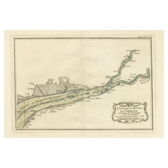
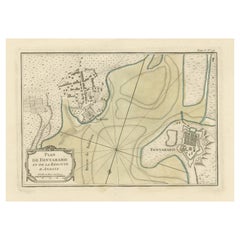
Antique map titled 'Carte des Entrées et Cours de la Gironde'.
Large map of the region of the Gironde estuary. It is formed from the meeting of the rivers Dordogne and Garonne just downstream of the centre of Bordeaux.
Artists and engravers: Engraved by Jean-Baptiste Croisey.
- Dimensions:Height: 24.81 in (63 cm)Width: 37.41 in (95 cm)Depth: 0 in (0.02 mm)
- Materials and Techniques:
- Period:1770-1779
- Date of Manufacture:circa 1770
- Condition:Repaired: large repair on the left part of the map. Wear consistent with age and use. Condition: Fair/good. Few other (minor) defects and creasing. Blank verso, please study image carefully.
- Seller Location:Langweer, NL
- Reference Number:
About the Seller
5.0
Platinum Seller
These expertly vetted sellers are 1stDibs' most experienced sellers and are rated highest by our customers.
Established in 2009
1stDibs seller since 2017
1,933 sales on 1stDibs
Typical response time: <1 hour
- ShippingRetrieving quote...Ships From: Langweer, Netherlands
- Return PolicyA return for this item may be initiated within 14 days of delivery.
More From This SellerView All
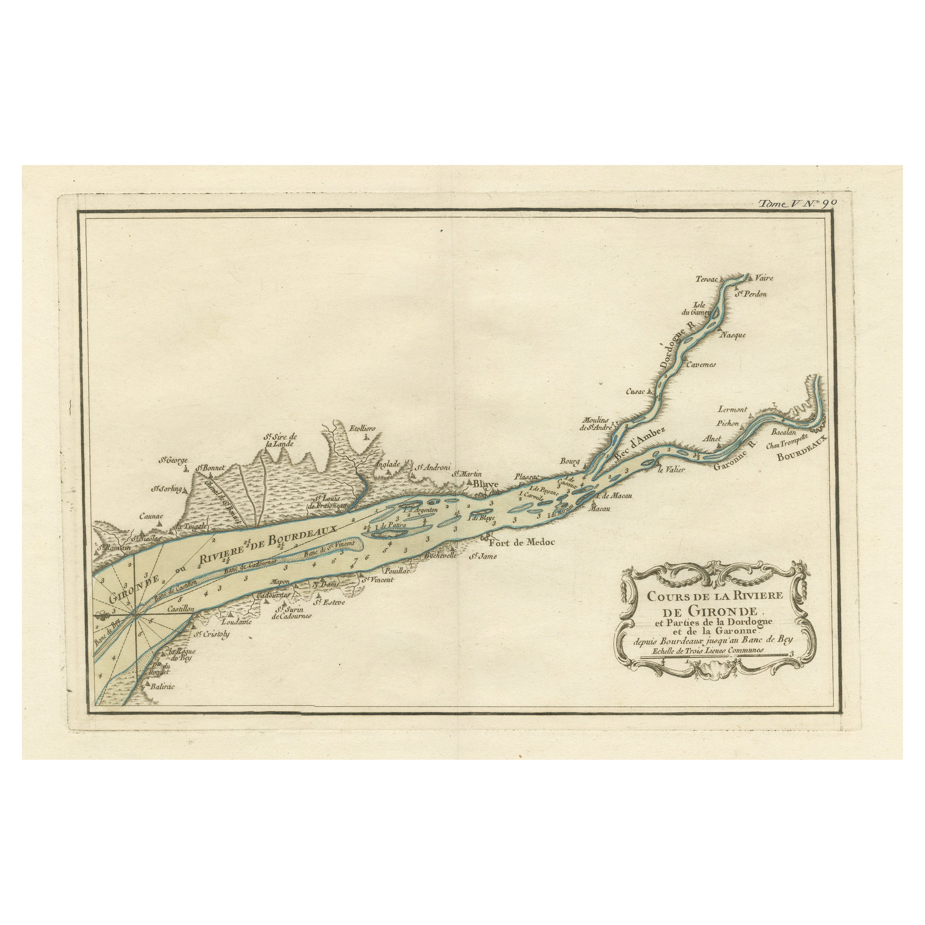
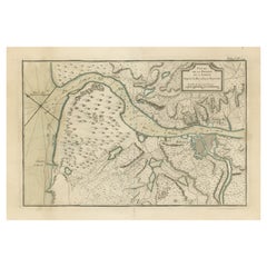
- Antique Map of the Gironde, part of the Dordogne and the Garonne, FranceLocated in Langweer, NLAntique map titled 'Cours de la riviere de Gironde et parties de la Dordogne et de la Garonne depuis Bourdeaux jusqu'au banc de Bey'. Original old map of the Gironde, part of the Dor...Category
Antique Mid-18th Century Maps
MaterialsPaper
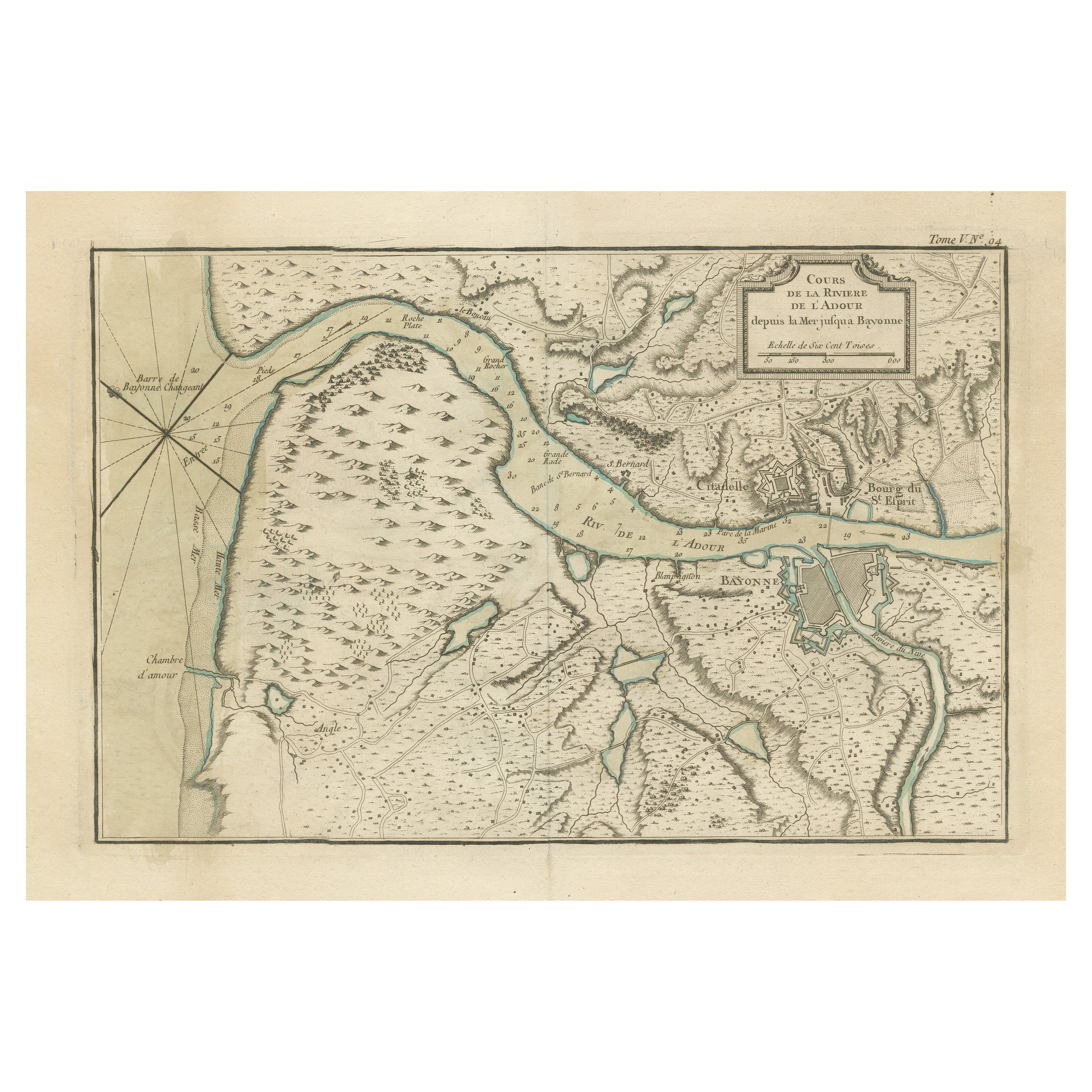
- Antique Map of the Adour River, Near Bayonne, FranceLocated in Langweer, NLAntique map titled 'Cours de la riviere de l'Adour depuis la mer jusqua Bayonne'. Original old map of the Adour river, near Bayonne, France. This map originates from 'Le Petit Atlas ...Category
Antique Mid-18th Century Maps
MaterialsPaper
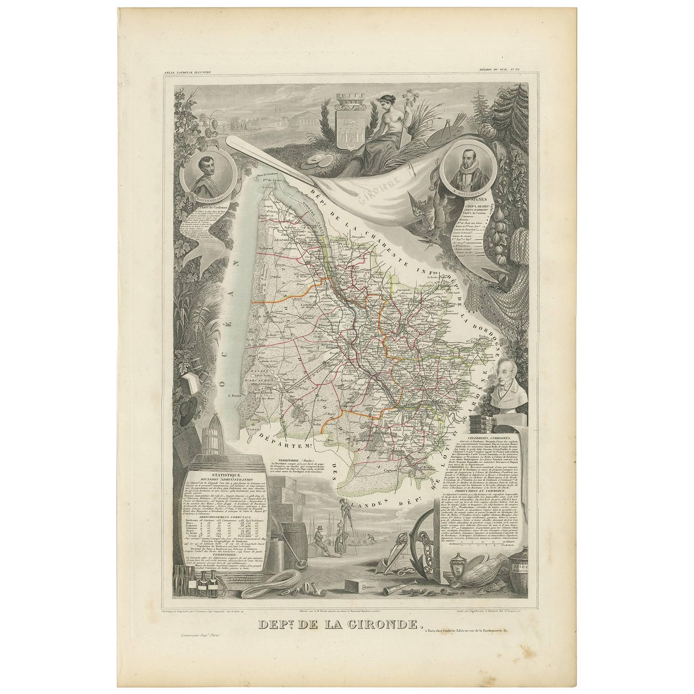
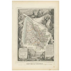
- Antique Map of Gironde ‘France’ by V. Levasseur, 1854By Victor LevasseurLocated in Langweer, NLAntique map titled 'Dépt. de la Gironde'. Map of the French department of Gironde. This coastal department is the seat of the Bordeaux wine region and produces many of the world's fi...Category
Antique Mid-19th Century Maps
MaterialsPaper
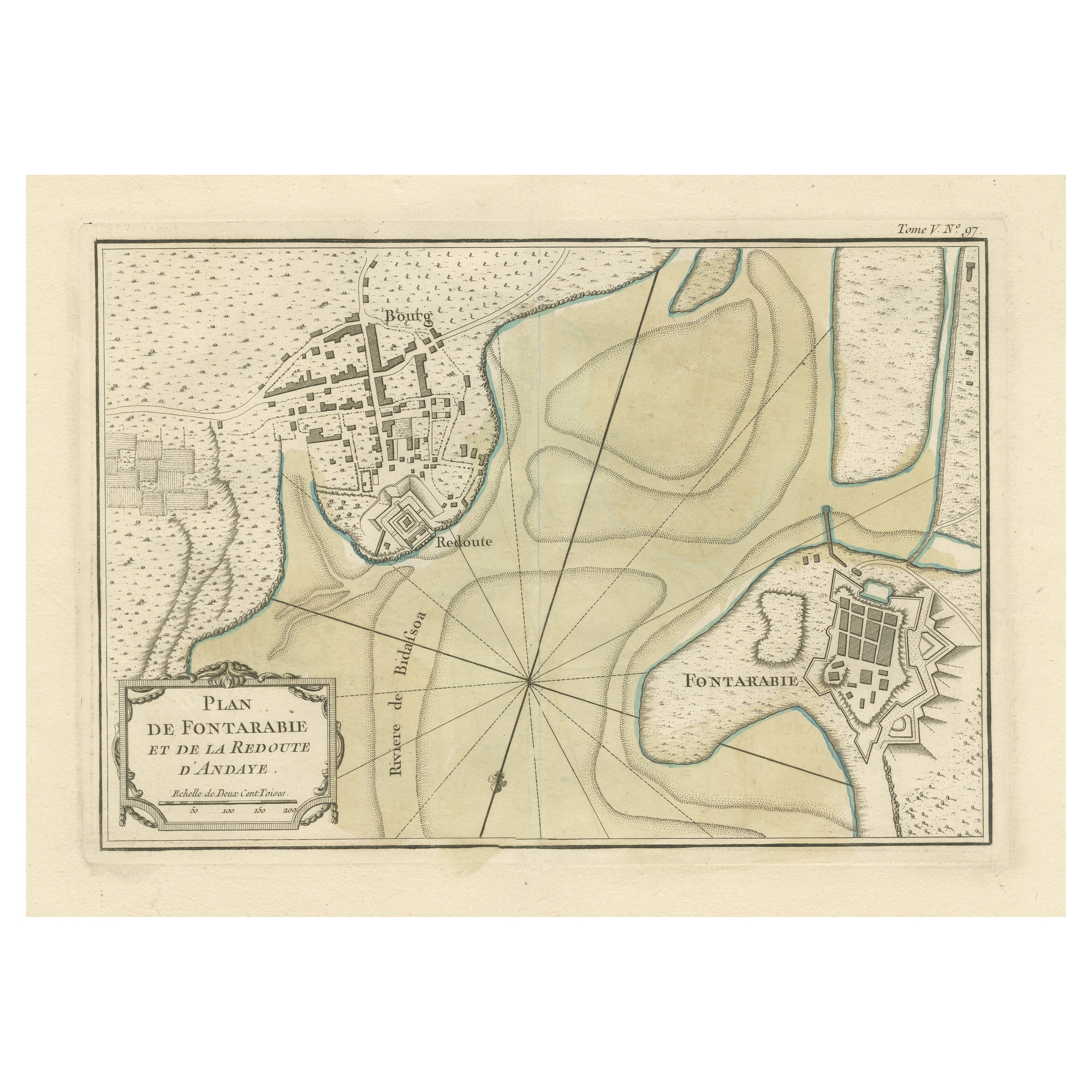
- Antique Map of Hondarribia Near the Bidasoa River, France & SpainLocated in Langweer, NLAntique map titled 'Plan de Fontarabie et de la redoute d'Andaye'. Original old map of Hondarribia near the Bidasoa river, a river in the Basque Country of northern Spain and souther...Category
Antique Mid-18th Century Maps
MaterialsPaper
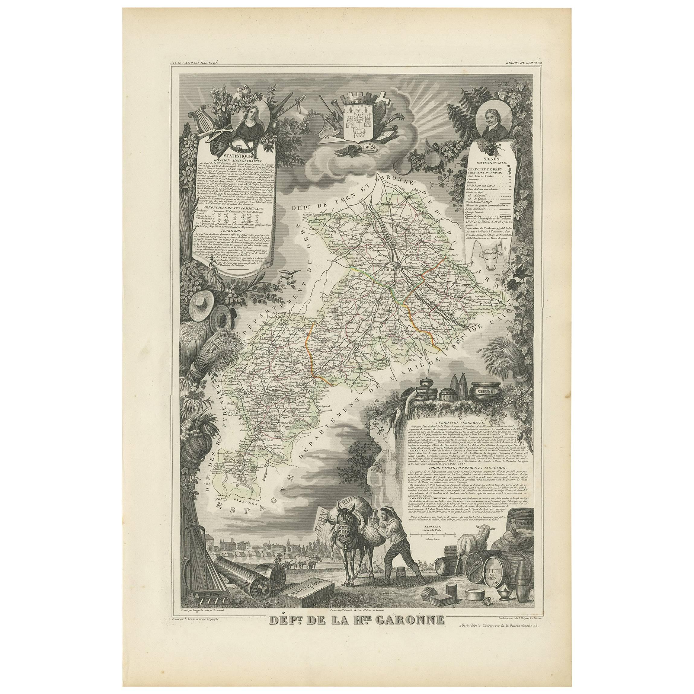
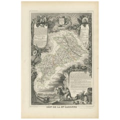
- Antique Map of Haute-Garonne ‘France’ by V. Levasseur, 1854Located in Langweer, NLAntique map titled 'Dépt. de la Hte. Garonne'. Map of the French department of Haute-Garonne, France. This area of France produces the delicious but lesser known Buzet wines, and ten...Category
Antique Mid-19th Century Maps
MaterialsPaper
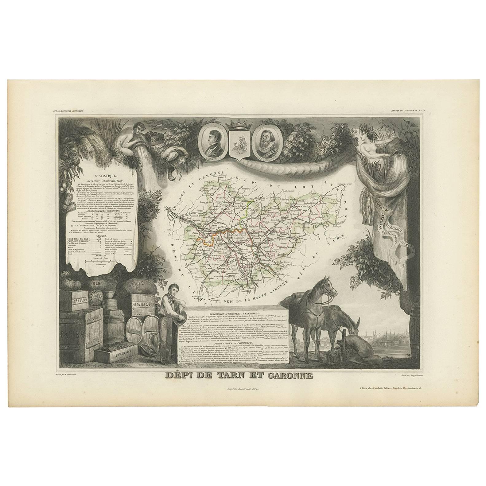
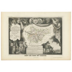
- Antique Map of Tarn and Garonne in France, 1854By Victor LevasseurLocated in Langweer, NLAntique map titled 'Dépt. de Tarn et Garonne'. Map of the French department of Tarn et Garonne, France. This map is centered around the city of Moissac, which is known for its fine d...Category
Antique Mid-19th Century Maps
MaterialsPaper
You May Also Like
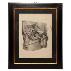
- Lithographic Print on Paper, Depicting the Male Genital System, France 1850 CaLocated in Milan, ITAn anatomical lithographic print on paper, depicting the male genital system. Black lacquered fir wood frame with golden ramin wood batting. N. H. Jacob, Pari...Category
Antique Mid-19th Century French Prints
MaterialsGlass, Wood, Paper
- Lithographic print on paper, depicting the atlas of the hand, France 1850 ca.Located in Milan, ITAn anatomical lithographic print on paper, depicting the anatomical atlas of the hand. Black lacquered fir wood frame with golden ramin wood batting. N. H. Ja...Category
Antique Mid-19th Century French Prints
MaterialsGlass, Wood, Paper
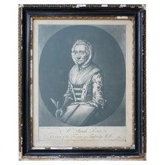
- Sarah Porter, "Queen of the Touters at Tunbridge Wells" Engraving, circa 1770Located in Lowestoft, GBAfter Vander Smissen 'Mrs Sarah Porter, Queen of the Touters at Tunbridge Wells', a mezzotint, engraved by William Pether circa 1770, glazed in ebonised, ...Category
Antique Late 18th Century English Prints
MaterialsGlass, Pine, Paper
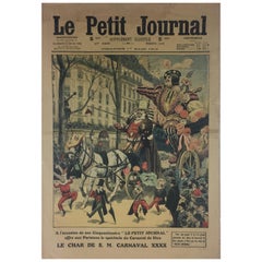
- Carnival de Nice France Historical Journal French MemorabiliaLocated in Miami, FLA historical piece of nostalgic journal art dated 1912, Carnival or Carnaval de Nice, France from Le Petit Journal. Two years prior to the First World...Category
Early 20th Century French Art Deco Historical Memorabilia
MaterialsPaper
- Original Antique Map of France, Arrowsmith, 1820Located in St Annes, LancashireGreat map of France Drawn under the direction of Arrowsmith. Copper-plate engraving. Published by Longman, Hurst, Rees, Orme and Brown, 1820 Unframed.Category
Antique 1820s English Maps
MaterialsPaper
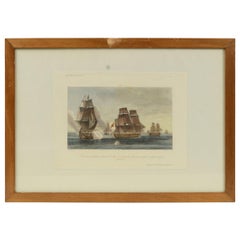
- 1900 Vintage Lithographic Print of the French Frigate Minerva Oakwood frameLocated in Milan, ITLithographic print of the fight of the French frigate Minerva against two vessels and an English frigate on February 2nd, 1779, taken from the book Historical Gallery of Versailles 430. Chacoane is the engraver. Original print by Victor Gilbert Théodore Gudin...Category
Early 20th Century French Nautical Objects
MaterialsPaper


Recently Viewed
View AllMore Ways To Browse
Antique Bordeaux
Dordogne France
Bordeaux Map
Antique Map Dordogne
Wood Carvings Of Ships
Classroom Furniture Used
Fine Antique Maps
17th Century World Map
Book Of Antique Maps
18th Century Southern Antiques
Antique French Globe
South African Antique Furniture
Antique Furniture South Africa
Antique Map Border
Compass Map
Antique Maps Of Africa
Used Booksellers
Used Bookseller