Items Similar to Antique Map of the Gironde, part of the Dordogne and the Garonne, France

Want more images or videos?
Request additional images or videos from the seller
1 of 6
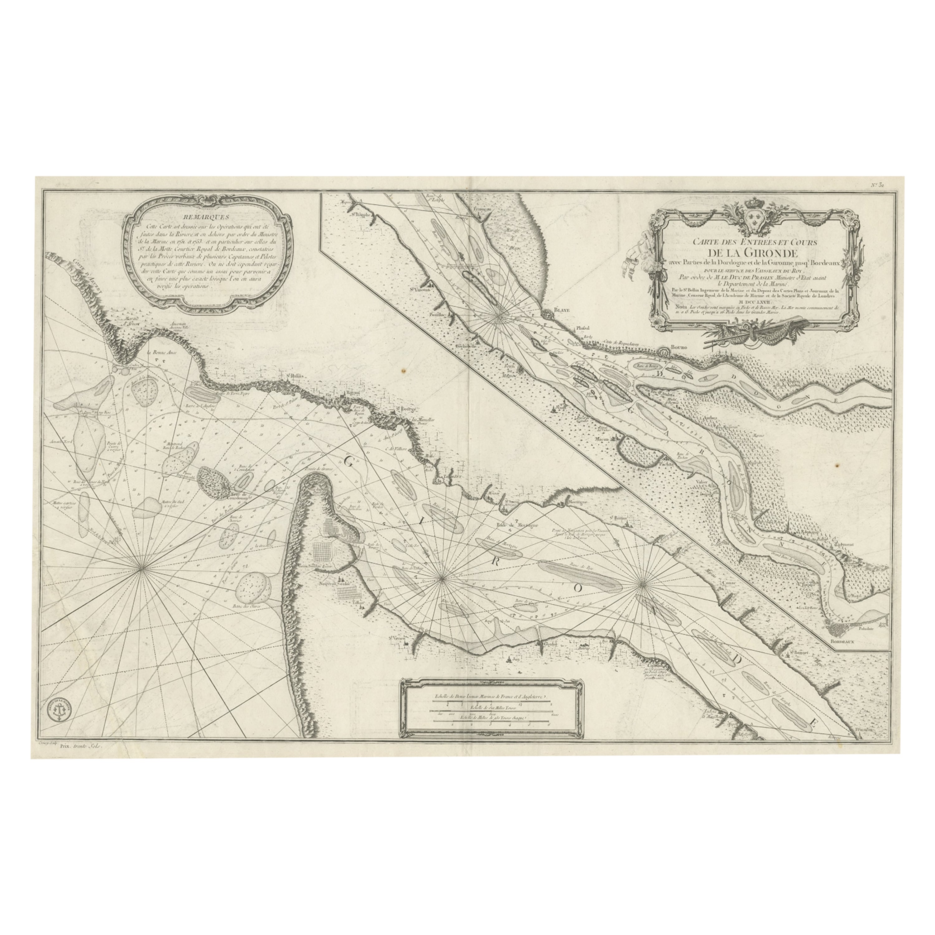
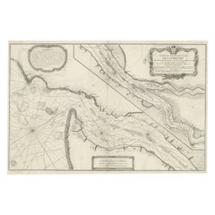
Antique Map of the Gironde, part of the Dordogne and the Garonne, France
About the Item
Antique map titled 'Cours de la riviere de Gironde et parties de la Dordogne et de la Garonne depuis Bourdeaux jusqu'au banc de Bey'. Original old map of the Gironde, part of the Dordogne and the Garonne, France. This map originates from 'Le Petit Atlas Maritime (..)' by J.N. Bellin. Published 1764.
Bellin was an important maker of charts for the French Depot de la Marine. He was born in Paris in 1703 and educated as an engineer. He produced many important charts and published them individually and in compilations. The Neptune Francais was published in 1753 and the Hydrographie Francaise in 1756. His largest and most comprehensive work is the Petit Atlas Maritime.
- Dimensions:Height: 12.49 in (31.7 cm)Width: 16.7 in (42.4 cm)Depth: 0.02 in (0.5 mm)
- Materials and Techniques:
- Period:
- Date of Manufacture:1764
- Condition:General age-related toning. Original folding line. Minor wear and soiling, blank verso. Please study image carefully.
- Seller Location:Langweer, NL
- Reference Number:
About the Seller
5.0
Platinum Seller
These expertly vetted sellers are 1stDibs' most experienced sellers and are rated highest by our customers.
Established in 2009
1stDibs seller since 2017
1,933 sales on 1stDibs
Typical response time: <1 hour
- ShippingRetrieving quote...Ships From: Langweer, Netherlands
- Return PolicyA return for this item may be initiated within 14 days of delivery.
More From This SellerView All
- Gironde, Where Rivers Dordogne & Garonne Meet Near Bordeaux, France, ca.1770Located in Langweer, NLAntique map titled 'Carte des Entrées et Cours de la Gironde'. Large map of the region of the Gironde estuary. It is formed from the meeting of the rivers Dordogne and Garonne ju...Category
Antique 1770s Maps
MaterialsPaper
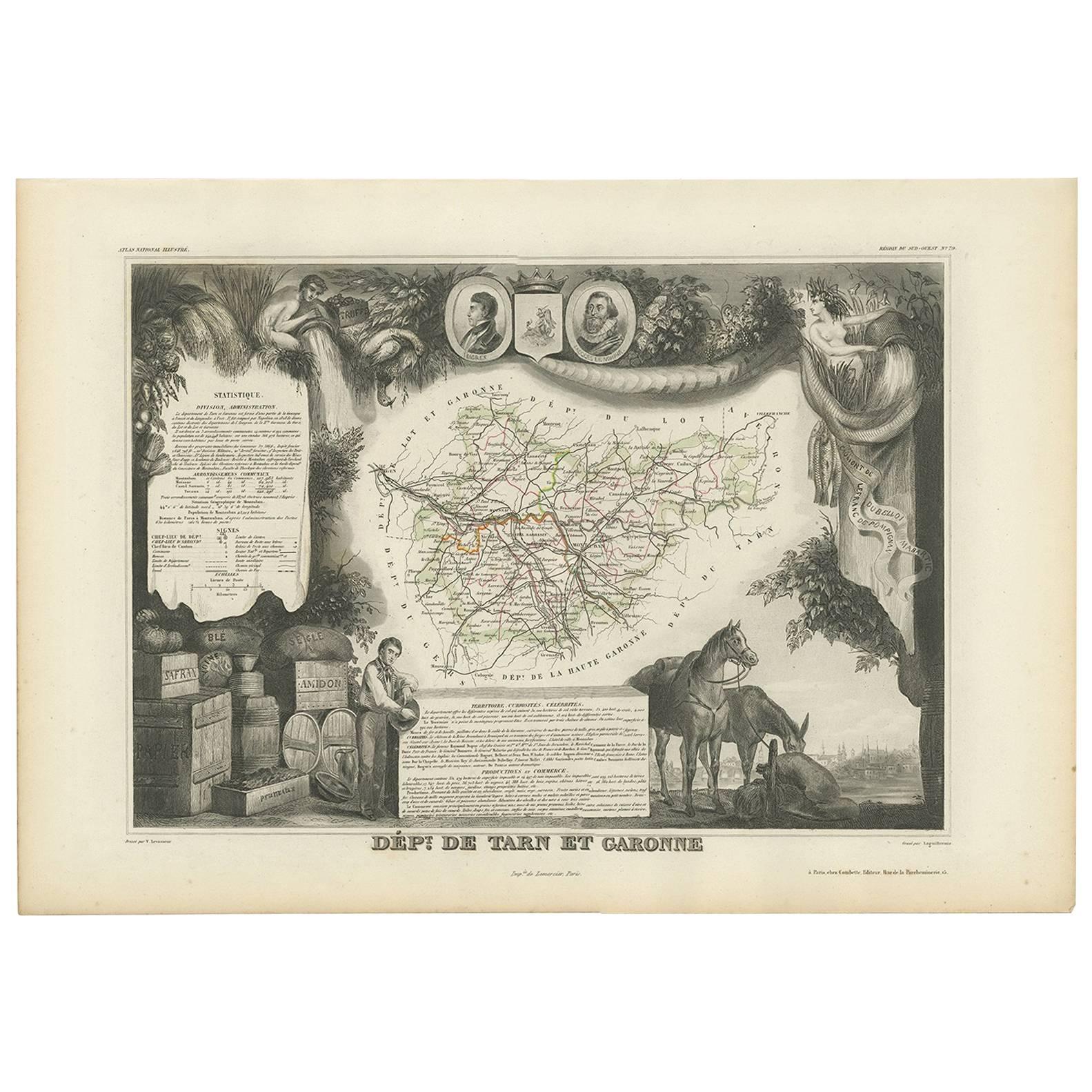
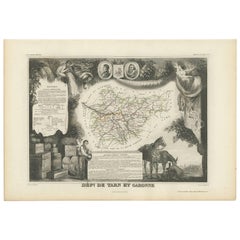
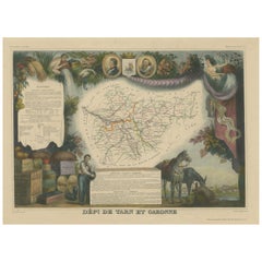
- Antique Map of Tarn and Garonne in France, 1854By Victor LevasseurLocated in Langweer, NLAntique map titled 'Dépt. de Tarn et Garonne'. Map of the French department of Tarn et Garonne, France. This map is centered around the city of Moissac, which is known for its fine d...Category
Antique Mid-19th Century Maps
MaterialsPaper
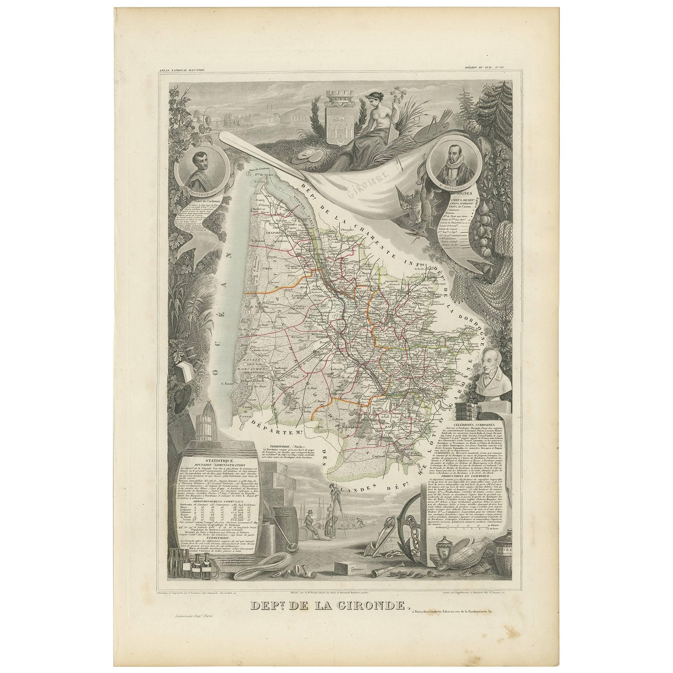
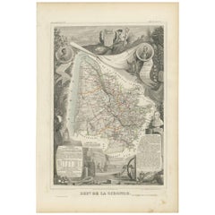
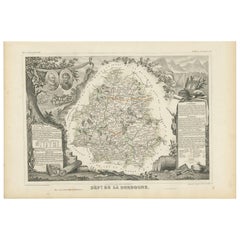
- Antique Map of Gironde ‘France’ by V. Levasseur, 1854By Victor LevasseurLocated in Langweer, NLAntique map titled 'Dépt. de la Gironde'. Map of the French department of Gironde. This coastal department is the seat of the Bordeaux wine region and produces many of the world's fi...Category
Antique Mid-19th Century Maps
MaterialsPaper
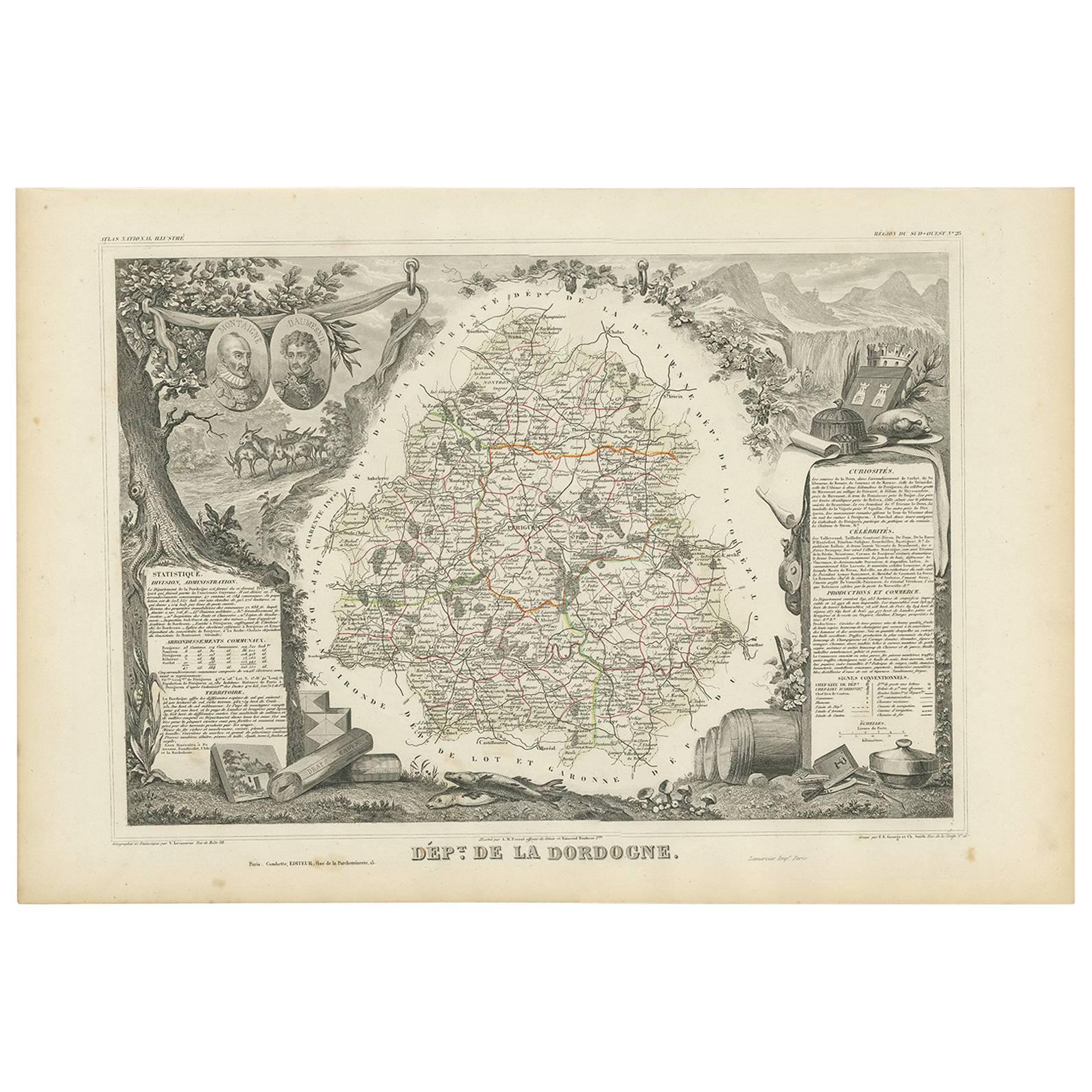
- Antique Map of the Dordogne ‘France’ by V. Levasseur, 1854Located in Langweer, NLAntique map titled 'Dépt. de la Dordogne'. Map of the French department of Dordogne, France. This area is best known for its production of Monbazillac, a sweet white wine, and Cabéco...Category
Antique Mid-19th Century Maps
MaterialsPaper
- Hand Colored Antique Map of the Department of Tarn Et Garonne, FranceBy Victor LevasseurLocated in Langweer, NLAntique map titled 'Dépt. de Tarn et Garonne'. map of the French department of Tarn et Garonne, France. This map is centered around the city of Moissac, which is known for its fine d...Category
Antique Mid-19th Century Maps
MaterialsPaper
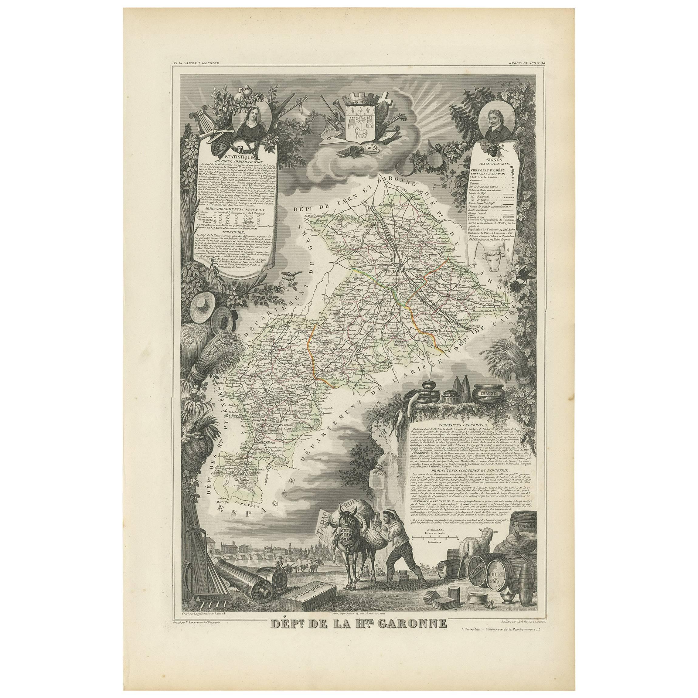
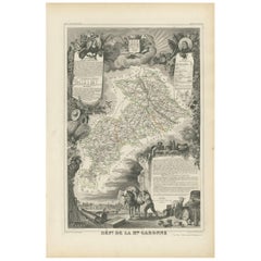
- Antique Map of Haute-Garonne ‘France’ by V. Levasseur, 1854Located in Langweer, NLAntique map titled 'Dépt. de la Hte. Garonne'. Map of the French department of Haute-Garonne, France. This area of France produces the delicious but lesser known Buzet wines, and ten...Category
Antique Mid-19th Century Maps
MaterialsPaper
You May Also Like
- Original Antique Map of France, Arrowsmith, 1820Located in St Annes, LancashireGreat map of France Drawn under the direction of Arrowsmith. Copper-plate engraving. Published by Longman, Hurst, Rees, Orme and Brown, 1820 Unframed.Category
Antique 1820s English Maps
MaterialsPaper
- Map of the Republic of GenoaLocated in New York, NYFramed antique hand-coloured map of the Republic of Genoa including the duchies of Mantua, Modena, and Parma. Europe, late 18th century. Dimension: 25...Category
Antique Late 18th Century European Maps
- Antique Map of Principality of MonacoBy Antonio Vallardi EditoreLocated in Alessandria, PiemonteST/619 - "Old Geographical Atlas of Italy - Topographic map of ex-Principality of Monaco" - ediz Vallardi - Milano - A somewhat special edition ---Category
Antique Late 19th Century Italian Other Prints
MaterialsPaper
- Original Antique Map of France, Sherwood, Neely & Jones, Dated 1809Located in St Annes, LancashireGreat map of France Copper-plate engraving by Cooper Published by Sherwood, Neely & Jones. Dated 1809 Unframed.Category
Antique Early 1800s English Maps
MaterialsPaper
- Antique 18th Century Map of the Province of Pensilvania 'Pennsylvania State'Located in Philadelphia, PAA fine antique of the colony of Pennsylvania. Noted at the top of the sheet as a 'Map of the province of Pensilvania'. This undated and anonymous map is thought to be from the Gentleman's Magazine, London, circa 1775, although the general appearance could date it to the 1760's. The southern boundary reflects the Mason-Dixon survey (1768), the western boundary is placed just west of Pittsburgh, and the northern boundary is not marked. The map has a number of reference points that likely refer to companion text and appear to be connected to boundaries. The western and southern boundaries are marked Q, R, S, for example. A diagonal line runs from the Susquehanna R to the Lake Erie P. A broken line marked by many letters A, B, N, O, etc., appears in the east. There are no latitude or longitude markings, blank verso. Framed in a shaped contemporary gilt wooden frame and matted under a cream colored matte. Bearing an old Graham Arader Gallery...Category
Antique 18th Century British American Colonial Maps
MaterialsPaper
- Map "Estuary- Mouth of the Thames"Located in Alessandria, PiemonteST/426 - Antique French Map of the estuary of the Thames, map dated 1769 - "Mape of the entrance of the Thames. Designed by filing of Navy cards fo...Category
Antique Mid-18th Century French Other Prints
MaterialsPaper


Recently Viewed
View AllMore Ways To Browse
Banc De France
Antique Banc
1681 Moses Pitt
Antique Cabbage Cutter
Antique Chesapeake Bay Map
Antique Handcrafted Model Sailboat
Antique Map Of Chesapeake Bay
Cartier 1730
Devonia Antique
Eso Antique Map
Eso Antique Maps
Formosa Vintage Map
M S Merian
Union Pacific Map
Ian Maguire
Map Scandinavia
Pakistan Antique Map
Antique Map Iceland