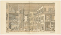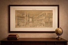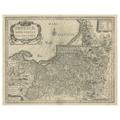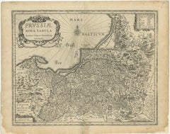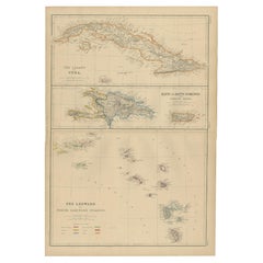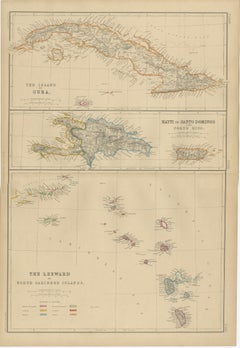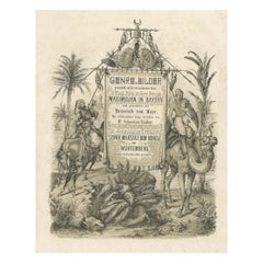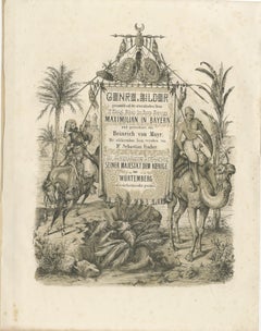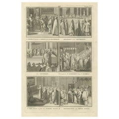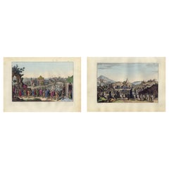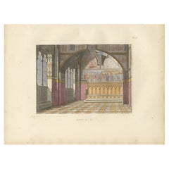
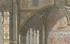
Tribunal di Balia Interior with Gothic Vaulting and Frescoed Wall Frieze - 1845
$189
H 8.78 in W 11.93 in D 0.01 in
Tribunal di Balia Interior with Gothic Vaulting and Frescoed Wall Frieze - 1845
Located in Langweer, NL
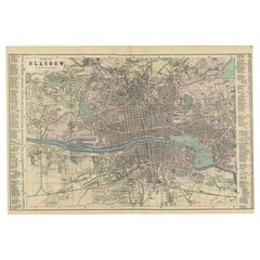
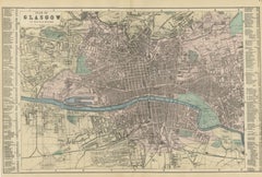
affecting the life of an entire city were once made. It is both a historical document and a work of
Category
Antique Mid-19th Century French Prints
Materials
Paper