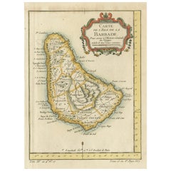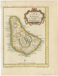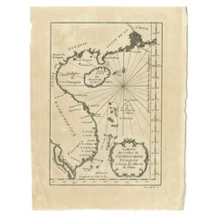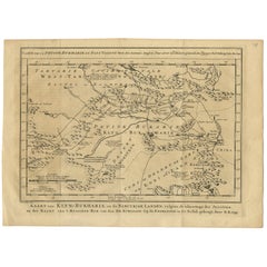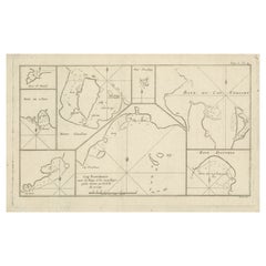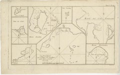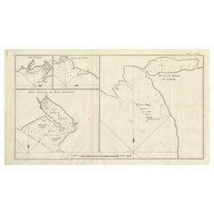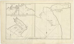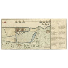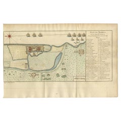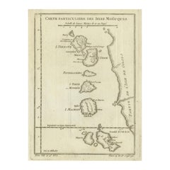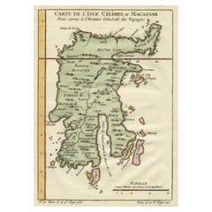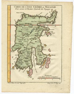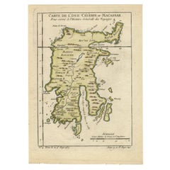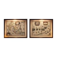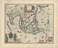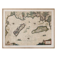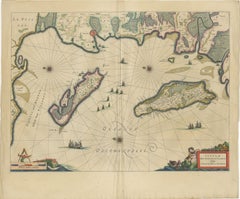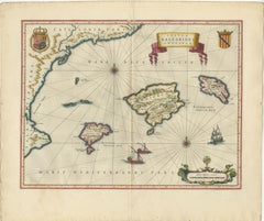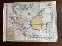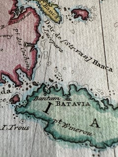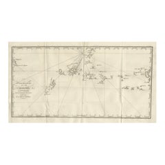
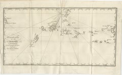
Antique Map of the Caroline Islands – Early Exploration of the Pacific, c.1760
$469
H 9.45 in W 15.36 in D 0.01 in
Antique Map of the Caroline Islands – Early Exploration of the Pacific, c.1760
Located in Langweer, NL
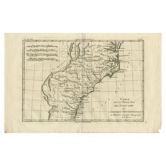
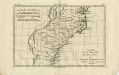
copperplate map, titled Nouvelle Description des Isles Carolines, charts the Caroline Islands in the western
Category
Mid-18th Century French Used Nautical Charts
Materials
Paper