
Frederick de Wit Art

Dutch, 1630-1706
Frederick De Wit (1629-1706) was an engraver, cartographer and map dealer who ran a prominent and productive printing business in Amsterdam, founded in 1654 and initially called The Three Crabs and later The White Chart. He published his first atlas in 1662. In 1695 he purchased a large collection of the plates of the prestigious Blaeu publishing business. After his death in 1706, his wife Maria continued in the business for four years before selling it at the auction. A majority of the plates were purchased by Pieter Mortier. His thriving and growing business eventually became Covens & Mortier, one of the largest and most successful cartography and printing businesses of the eighteenth century.
to
5
1
6
5
4
1
1
Persia, Armenia & Adjacent Regions: A Hand-colored 17th Century Map by De Wit
By Frederick de Wit
Located in Alamo, CA
This colorful and detailed 17th century copperplate map by Frederick De Wit was published in Amsterdam between 1666 and 1690. It depicts the Caspian Se...
Category

Late 17th Century Old Masters Frederick de Wit Art

Materials

Engraving

Large Antique Map of France by De Wit, c.1680
By Frederick de Wit
Located in Langweer, NL
Antique map titled 'Accuratissima Galliae Tabula vulgo Royaume de France'. Detailed map of France. Shows provinces, cities, rivers etc. Artists and Engravers: Frederick de Wit (1...
Category

17th Century Antique Frederick de Wit Art

Materials

Paper

Persia, Armenia & Adjacent Regions: A 17th Century Hand-colored Map by De Wit
By Frederick de Wit
Located in Alamo, CA
A large 17th century hand colored copperplate engraved map entitled "Novissima nec non Perfectissima Scandinaviae Tabula comprehendens Regnorum Sueciae, Daniae et Norvegiae distincte...
Category

Late 17th Century Dutch Antique Frederick de Wit Art

Materials

Paper

L'Isle de France: A Hand-colored 17th Century Map by De Wit
By Frederick de Wit
Located in Alamo, CA
This colorful and detailed 17th century hand-colored copperplate map by Frederick De Wit was published in Amsterdam between 1666 and 1760. The map depicts the Île-de-France, which is one of the ancient provinces of France. Paris is located in the center of the map, with Versailles to the southwest The map extends from Rouen in the west to Reims in the east. The area around Paris, the Véxin Français, was the original domain of the king of France. Other areas were ruled by French feudal lords. For example, the Véxin Normand area was the domain of the Duke of Normandy...
Category

Early 18th Century Old Masters Frederick de Wit Art

Materials

Engraving

England and the British Isles: A Large 17th Century Hand-colored Map by de Wit
By Frederick de Wit
Located in Alamo, CA
This is a large hand-colored 17th century map of England and the British Isles by Frederick de Wit entitled "Accuratissima Angliæ Regni et Walliæ Principatus", published in Amsterdam in 1680. It is a highly detailed map of England, Scotland, the Scottish Isles...
Category

Late 17th Century Other Art Style Frederick de Wit Art

Materials

Engraving

Large 17th Century Hand Colored Map of England and the British Isles by de Wit
By Frederick de Wit
Located in Alamo, CA
A large hand colored 17th century map of England and the British Isles by Frederick de Wit entitled "Accuratissima Angliæ Regni et Walliæ Principatus", published in Amsterdam in 1680. It is a highly detailed map of England, Scotland, the Scottish Isles...
Category

Late 17th Century Dutch Antique Frederick de Wit Art

Materials

Paper

Related Items
Four 18th Century Engraved and Hand-Colored Maps by Weigel
By Christoph Weigel
Located in Copenhagen, K
Small collection of four engraved maps of Italy, Balkan and of Central Asia. Two are of Italy, one Corsica and Northern Italy and the other of the Southern Italian boot...
Category

18th Century German Antique Frederick de Wit Art

Materials

Paper

Antique Map of Principality of Monaco
By Antonio Vallardi Editore
Located in Alessandria, Piemonte
ST/619 - "Old Geographical Atlas of Italy - Topographic map of ex-Principality of Monaco" - ediz Vallardi - Milano - A somewhat special edition ---  
Category

Late 19th Century Italian Other Antique Frederick de Wit Art

Materials

Paper

Antique Map of Principality of Monaco
H 22.84 in W 15.75 in D 0.04 in
Lafitte's Blacksmith House (a bar named for a pirate on Bourbon St, New Orleans)
By Frederick Mershimer
Located in New Orleans, LA
Lafitte's Blacksmith Shop is a New Orleans landmark at 941 Bourbon St. Like most New Orleans legends, history of Lafitte's Blacksmith Shop is a gumbo of tru...
Category

Early 2000s Contemporary Frederick de Wit Art

Materials

Mezzotint, Aquatint

Original Antique Map of Ancient Greece- Boeotia, Thebes, 1787
Located in St Annes, Lancashire
Great map of Ancient Greece. Showing the region of Boeotia, including Thebes Drawn by J.D. Barbie Du Bocage Copper plate engraving by P.F T...
Category

1780s French Other Antique Frederick de Wit Art

Materials

Paper

Fire Dance (Flambeaux carriers light the path of Endymion parade in New Orleans)
By Frederick Mershimer
Located in New Orleans, LA
This impression is #108. Mershimer created a color mezzotint of the Mardi Gras scene in mid-city New Orleans. The parade was the Endymion crew marching on Canal Street near Jefferson...
Category

1990s American Modern Frederick de Wit Art

Materials

Mezzotint

Original Antique Map of Spain and Portugal, circa 1790
Located in St Annes, Lancashire
Super map of Spain and Portugal Copper plate engraving by A. Bell Published, circa 1790. Unframed.  
Category

1790s English Other Antique Frederick de Wit Art

Materials

Paper

Crossings
By Frederick Mershimer
Located in New York, NY
CROSSINGS Contemporary artist Frederick Mershimer created the mezzotint engraving entitled "Crossings" in 1998. This impression is signed, titled, and dated in pencil. The printed ...
Category

Late 20th Century American Realist Frederick de Wit Art

Materials

Mezzotint

Crossings
Crossings
H 30 in W 41 in D 0.94 in
The Antient City of Jerusalem and Places Adjacent, Hand-Colored Map, 1699
Located in Langweer, NL
Title: "1699 Hand-Colored Bird's-Eye Plan of Jerusalem with Ancient and Biblical Landmarks" This beautifully hand-colored, imaginary bird's-eye plan of Jerusalem, published in 1699,...
Category

1690s Antique Frederick de Wit Art

Materials

Paper

The Quebec and the Surveillante [an animated naval battle scene]
Located in Middletown, NY
Engraving with extensive handcoloring, on laid paper with a Fleur de Lys watermark, with margins. Plate 11 13/16 x 15 3/4 (300 x 400 mm); Sheet: 12 1/2 x 16 3/8 inches (317 x 415 mm)...
Category

Late 18th Century English School Frederick de Wit Art

Materials

Watercolor, Handmade Paper, Engraving, Laid Paper

Plan of the Park, Garden and Plantations of Goodwood, 18th century engraving
By Colen Campbell
Located in Melbourne, Victoria
Plan of the Park, Garden and Plantations of Goodwood in Sussex the Seat of his Grace the Duke of Richmond and Lenox &c Copper-line engraving with later hand-colouring by Hendrik Hul...
Category

18th Century English School Frederick de Wit Art

Materials

Engraving

Plantes tropicales [Tropical Plants]
Located in Middletown, NY
Paris: Cadart & Luquet, 1865 Etching and engraving on Chine-collé mounted to watermarked Aqua-Fortistes cream laid paper 14 1/2 x 10 5/8 inches (367 x 268 mm), full margins. In very...
Category

Mid-19th Century French School Frederick de Wit Art

Materials

Handmade Paper, Engraving

The Grand Coronation Banquet of King George IV at Westminster Hall, 17 July 1821
By Johannes Kip
Located in Middletown, NY
The Grand Coronation Banquet of King George IV at Westminster Hall, the oldest building on the Parliamentary estate. A Prospect of the Inside of Westminster Hall; The Grand Coronati...
Category

Early 19th Century English School Frederick de Wit Art

Materials

Handmade Paper, Engraving, Watercolor

Previously Available Items
Antique Framed Hand Colored Map of the Americas by Frederick De Wit, circa 1675
By Frederick de Wit
Located in Morristown, NJ
Frederick De Wit (Dutch, 1629-1706), "Novissima et Accuratissima totius Americae Descriptio", hand-colored map engraving of North and South America with California depicted as an island, decorated with images of Native Americans and indigenous flora and fauna, framed under glass, 19.5"h x 23"l (sheet), 22.5"h x 1.75"d x 26"w (frame), From the collection of an NY corporation. A fine example of De Wit’s map of the Americas, first published ca. 1675. This map is fascinating. It was the first Dutch map to include all five Great Lakes; Lac Superieur (Lake Superior), Lac des Puans (Lake Michigan), Mare Dulce (Lake Huron...
Category

1670s Dutch Baroque Antique Frederick de Wit Art

Materials

Glass, Wood, Giltwood, Paint, Paper

Antique Map of the East Indies by De Wit, 1662
By Frederick de Wit
Located in Langweer, NL
Antique map of the East Indies titled 'Tabula Indiae Orientalis'. Old map of Southeast Asia, extending from China and the Philippines in the east, to the Indian Ocean in the west. Th...
Category

17th Century Antique Frederick de Wit Art

Materials

Paper

Scandinavia a Hand Colored 17th Century Map by Frederick de Wit
By Frederick de Wit
Located in Alamo, CA
A large 17th century hand colored copperplate engraved map entitled "Novissima nec non Perfectissima Scandinaviae Tabula comprehendens Regnorum Sueciae, Daniae et Norvegiae distincte...
Category

Late 17th Century European Antique Frederick de Wit Art

Materials

Paper

Germany West of the Rhine: A Hand-colored 18th Century Map by de Wit
By Frederick de Wit
Located in Alamo, CA
This original 18th century hand-colored map of the county of Moers, Germany entitled "Illustrissimo Celsissmo Principi GUILIELMO HENRICO D.G. Arausionum Principi Domino suo Clementis...
Category

Early 18th Century Dutch Antique Frederick de Wit Art

Materials

Paper

A Hand Colored 17th Century Map of Scandinavia by Frederick de Wit
By Frederick de Wit
Located in Alamo, CA
A large 17th century hand colored copperplate engraved map entitled "Novissima nec non Perfectissima Scandinaviae Tabula comprehendens Regnorum Sueciae, Daniae et Norvegiae distincte...
Category

Late 17th Century Old Masters Frederick de Wit Art

Materials

Engraving

Antique Sea Chart of the North Sea by F. de Wit, 1675
By Frederick de Wit
Located in Langweer, NL
Attractive hand-colored sea chart of the North Sea from Frederick de Wit's atlas 'Orbis Maritimus'.
Category

Late 17th Century Antique Frederick de Wit Art

Materials

Paper

Antique Map of Friesland ‘the Netherlands’ by F. De Wit, circa 1730
By Frederick de Wit
Located in Langweer, NL
Decorative map of the Dutch province Friesland. With a small inset map of the Wadden islands Vlieland, Terschelling, Ameland and Schiermonnikoog. A very decorative title cartouche wi...
Category

Early 18th Century Antique Frederick de Wit Art

Materials

Paper

Frederick De Wit art for sale on 1stDibs.

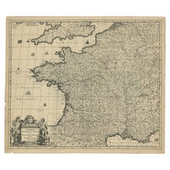
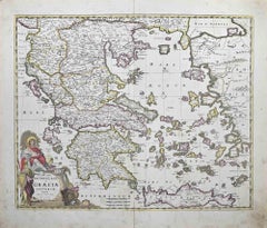
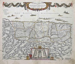
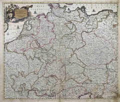
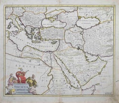
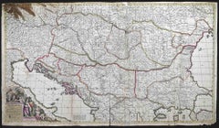
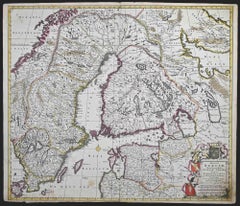
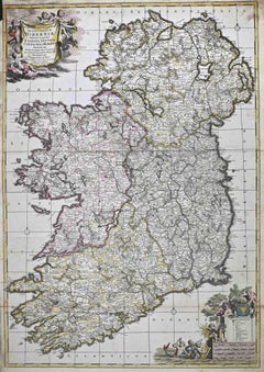
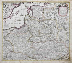
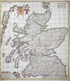
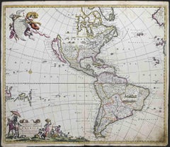
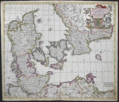
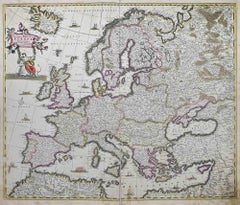
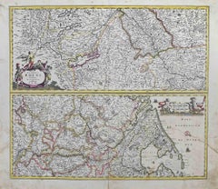
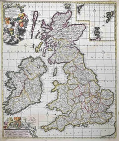
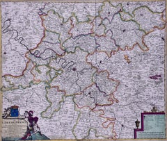
Find a wide variety of authentic Frederick de Wit art available for sale on 1stDibs. You can also browse by medium to find art by Frederick de Wit in engraving and more. Much of the original work by this artist or collective was created during the 18th century and earlier and is mostly associated with the Old Masters style. Not every interior allows for large Frederick de Wit art, so small editions measuring 27 inches across are available. Customers who are interested in this artist might also find the work of Johann Baptist Homann, Crispin de Passe II, and Karel Dujardin. Frederick de Wit art prices can differ depending upon medium, time period and other attributes. On 1stDibs, the price for these items starts at $1,175 and tops out at $1,500, while the average work can sell for $1,175.

Recently Viewed

View All