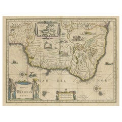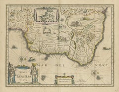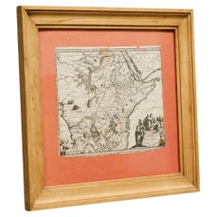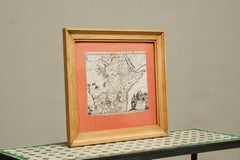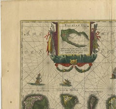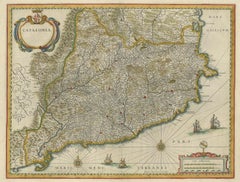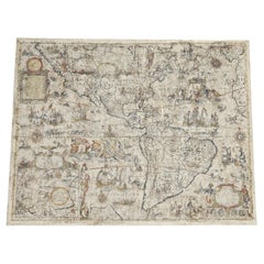
One of the most influential maps of America ever made, 17th Century Willem Blaeu
By Willem Blaeu
Located in ZWIJNDRECHT, NL
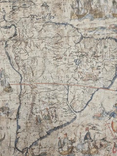
A rare and important 17th Century Italian Engraving of Willem Blaeu's Great Wall Map of America, "America quarta pars orbis quam plerunq, nuvum orbem apellitant primo detecta est ann...
Category
17th Century Dutch Dutch Colonial Antique Willem Blaeu
Materials
Paper, Linen