Bartele Gallery Furniture

19,651 Results
to
7,731
19,651
19,650
1
183
143
28
11
4
4
4
2
1
1
6,709
11,292
1,649
1
1,012
198
15
192
12
73
62
10
7
12
9
4
19,629
17
17
12
3
6,406
1,483
1,131
1,035
802
19,651
19,651
19,651
102
88
88
83
79
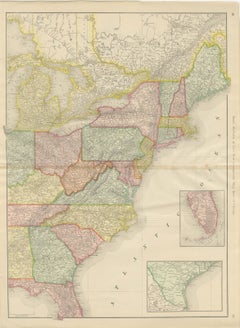
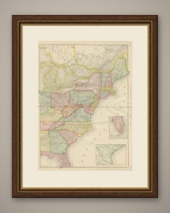
Antique Map of the Eastern United States, with Florida Inset, Rand McNally, 1899

Antique Map of the Eastern United States, with Florida Inset, Rand McNally, 1899

By Rand McNally & Co.

Located in Langweer, NL

Rand McNally issued this antique map of the eastern United States in its 1899 indexed atlas as the "New Commercial Map, East of Chicago", a double-page sheet on pages 10 and 11 with ...

Category

Antique Late 19th Century American Late Victorian Maps

Materials

Paper
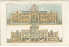
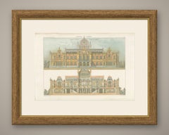
Museum King Willem III, Elevation, Dutch Architecture Print, Leliman, 1865-1866

Museum King Willem III, Elevation, Dutch Architecture Print, Leliman, 1865-1866

Located in Langweer, NL

Antique Dutch architectural print of the front elevation and section of J. H. Leliman's design for a national museum, 'Muzeum: Koning Willem de Derde', a lithograph printed in full, ...

Category

Antique Mid-19th Century Dutch Prints

Materials

Paper

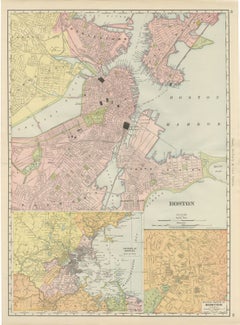
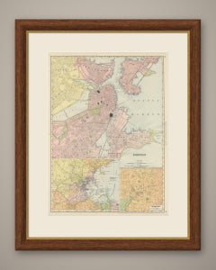
Antique Map of Boston, with Harbor and Environs Inset, Rand McNally, 1899

Antique Map of Boston, with Harbor and Environs Inset, Rand McNally, 1899

By Rand McNally & Co.

Located in Langweer, NL

Published by Rand McNally in 1899, this antique map of Boston spreads the city across the full harbour on pages 42 and 43 of the indexed atlas, with two insets: the environs of Bosto...

Category

Antique Late 19th Century American Late Victorian Maps

Materials

Paper
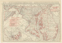
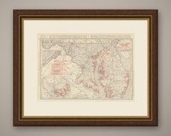
Antique Map of Maryland and Delaware, with Baltimore Inset, Rand McNally, 1899

Antique Map of Maryland and Delaware, with Baltimore Inset, Rand McNally, 1899

By Rand McNally & Co.

Located in Langweer, NL

This antique map of Maryland and Delaware comes from page 95 of the Rand McNally indexed atlas of 1899 and also takes in the District of Columbia, with the deeply indented Chesapeake...

Category

Antique Late 19th Century American Late Victorian Maps

Materials

Paper
French Agricultural Show Trophies, Antique Silverware Print, 1873

French Agricultural Show Trophies, Antique Silverware Print, 1873

Located in Langweer, NL

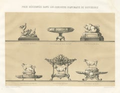
This antique silverware print shows the prize silver and objets d'art of the French regional agricultural shows, drawn and lithographed by V. Rose for the French agricultural album o...

Category

Antique Late 19th Century French Prints

Materials

Paper

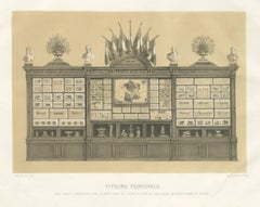
Antique Print of the French Agriculture Display, Vienna World Fair, 1873

Antique Print of the French Agriculture Display, Vienna World Fair, 1873

Located in Langweer, NL

This antique print shows the French agricultural exhibit at the Vienna Exposition of 1873, drawn and lithographed by Victor Rose for the album of the Direction de l'Agriculture. Rose...

Category

Antique Late 19th Century French Prints

Materials

Paper

Emilie, Durham Shorthorn Cow of Corbon, Antique Print, 1873

Emilie, Durham Shorthorn Cow of Corbon, Antique Print, 1873

Located in Langweer, NL

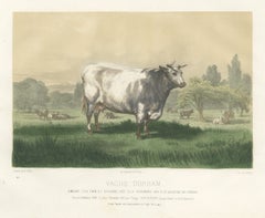
This antique cattle print portrays Emilie, the roan Durham Shorthorn cow of the Vacherie de Corbon, drawn by H. Gobin and lithographed by Lehnert for the Vienna Exposition album of 1...

Category

Antique Late 19th Century French Prints

Materials

Paper

Swiss Chalet Aviary, Perspective, Dutch Architecture Print, Leliman, 1865-1866

Swiss Chalet Aviary, Perspective, Dutch Architecture Print, Leliman, 1865-1866

Located in Langweer, NL

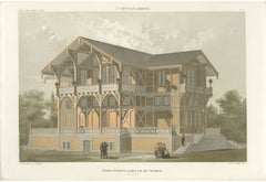
Antique Dutch architectural print of J. F. Metzelaar's perspective view of an ornamental aviary in a Swiss-chalet manner, a lithograph printed in soft colour from J. H. Leliman's alb...

Category

Antique Mid-19th Century Dutch Prints

Materials

Paper

Terrace of Seven Houses, Amsterdam, Dutch Architecture Print, Leliman, 1865-1866

Terrace of Seven Houses, Amsterdam, Dutch Architecture Print, Leliman, 1865-1866

Located in Langweer, NL

Antique Dutch architectural print of J. Gosschalk's terrace of seven houses on the Schans near the Wetering barrier in Amsterdam, in elevation and plan, a lithograph from J. H. Lelim...

Category

Antique Mid-19th Century Dutch Prints

Materials

Paper

Limousin Bull, Antique French Cattle Print after Melin, 1873

Limousin Bull, Antique French Cattle Print after Melin, 1873

Located in Langweer, NL

This antique cattle print portrays a golden red Limousin bull after J. Melin, engraved by A. Riffaut and printed by Lemercier for the French agricultural album of the Vienna Expositi...

Category

Antique Late 19th Century French Prints

Materials

Paper

Nerves of the Jaw and Infratemporal Region, Hirschfeld Anatomy Print, 1866

Nerves of the Jaw and Infratemporal Region, Hirschfeld Anatomy Print, 1866

By Hirschfeld and Leveille

Located in Langweer, NL

This antique anatomy print of the nerves of the jaw and infratemporal region is an original 1866 hand coloured lithograph from Hirschfeld and Leveille's Nevrologie atlas, published i...

Category

Antique Mid-19th Century French Napoleon III Prints

Materials

Paper

Antique Maps of France, Natural and Sown Meadows, Vienna Exposition, 1873

Antique Maps of France, Natural and Sown Meadows, Vienna Exposition, 1873

Located in Langweer, NL

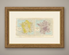
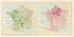
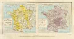
This antique map of France contrasts natural meadow with artificial or sown meadow, a pair of statistical maps from the France Agricole series prepared for the Vienna Exposition of 1...

Category

Antique Late 19th Century French Maps

Materials

Paper

Dishley Ram and Ewe of Haut-Tingry, Antique French Sheep Print, 1873

Dishley Ram and Ewe of Haut-Tingry, Antique French Sheep Print, 1873

Located in Langweer, NL

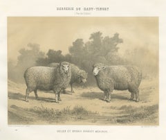
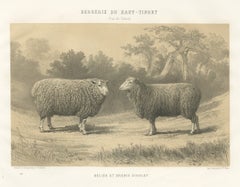
This antique sheep print shows a Dishley ram and ewe at the Bergerie du Haut-Tingry in the Pas-de-Calais, drawn and lithographed by F. Lehnert for the French agricultural album of th...

Category

Antique Late 19th Century French Prints

Materials

Paper

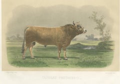
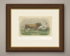
Parthenais Bull, Antique Cattle Print after Van Marcke, 1873

Parthenais Bull, Antique Cattle Print after Van Marcke, 1873

Located in Langweer, NL

This antique cattle print portrays a fawn Parthenais bull after Emile Van Marcke, engraved by C. Negre and printed by Lemercier for the French agricultural album of the Vienna Exposi...

Category

Antique Late 19th Century French Prints

Materials

Paper

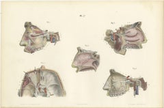
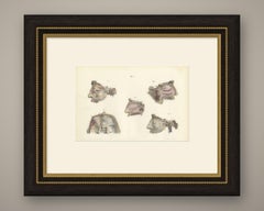
Nerves of the Nose, Palate and Upper Jaw, Antique Hirschfeld Anatomy Print, 1866

Nerves of the Nose, Palate and Upper Jaw, Antique Hirschfeld Anatomy Print, 1866

By Hirschfeld and Leveille

Located in Langweer, NL

This antique anatomy print of the nerves of the nose, palate and upper jaw is an original 1866 hand coloured lithograph from Hirschfeld and Leveille's Nevrologie atlas, published in ...

Category

Antique Mid-19th Century French Napoleon III Prints

Materials

Paper

Antique Maps of France, Buckwheat and Maize, Vienna Exposition, 1873

Antique Maps of France, Buckwheat and Maize, Vienna Exposition, 1873

Located in Langweer, NL

This antique map of France sets buckwheat and maize side by side, two statistical crop maps on one sheet prepared for the French agricultural exhibit at the Vienna Exposition of 1873...

Category

Antique Late 19th Century French Maps

Materials

Paper

Mauchamp Merino Ram and Ewe, Rambouillet, Antique Sheep Print, 1873

Mauchamp Merino Ram and Ewe, Rambouillet, Antique Sheep Print, 1873

Located in Langweer, NL

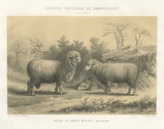
This antique sheep print shows a Mauchamp Merino ram and ewe at Rambouillet, drawn and lithographed by F. Lehnert for the French agricultural album of the Vienna Exposition, 1873. Th...

Category

Antique Late 19th Century French Prints

Materials

Paper

Breton Bull, Antique Cattle Print after Constant Troyon, 1873

Breton Bull, Antique Cattle Print after Constant Troyon, 1873

Located in Langweer, NL

This antique cattle print portrays a black and white Breton bull after Constant Troyon, engraved by A. Riffaut and printed by Lemercier for the French agricultural album of the Vienn...

Category

Antique Late 19th Century French Prints

Materials

Paper

Rambouillet Merino Rams and Ewes of 1873, Antique Sheep Print

Rambouillet Merino Rams and Ewes of 1873, Antique Sheep Print

Located in Langweer, NL

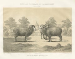
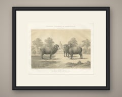
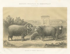
This antique sheep print shows the Merino rams and ewes of the Bergerie Nationale de Rambouillet in 1873, drawn and lithographed by F. Lehnert for the French agricultural album of th...

Category

Antique Late 19th Century French Prints

Materials

Paper

Antique Maps of France, Autumn Wheat and Rye, Vienna Exposition, 1873

Antique Maps of France, Autumn Wheat and Rye, Vienna Exposition, 1873

Located in Langweer, NL

This antique map of France pairs two statistical maps of autumn wheat and rye, drawn up for the French agricultural exhibit at the Vienna Exposition of 1873. The two maps share one s...

Category

Antique Late 19th Century French Maps

Materials

Paper

Flemish Cow, Antique French Cattle Print, Riffaut Heliogravure, 1873

Flemish Cow, Antique French Cattle Print, Riffaut Heliogravure, 1873

Located in Langweer, NL

This antique cattle print portrays a deep red Flemish cow by A. Riffaut, printed by Lemercier for the French agricultural album of the Vienna Exposition, 1873. She stands in a flat, ...

Category

Antique Late 19th Century French Prints

Materials

Paper

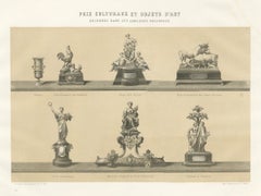
Fat Stock Show Prize Trophies, Antique Silverware Print, 1873

Fat Stock Show Prize Trophies, Antique Silverware Print, 1873

Located in Langweer, NL

This antique silverware print shows the prize plate of the French fat stock and butchery animal shows, drawn and lithographed by V. Rose for Lemercier for the French agricultural alb...

Category

Antique Late 19th Century French Prints

Materials

Paper

Rambouillet Merino Ram and Ewe of 1786, Antique Sheep Print, 1873

Rambouillet Merino Ram and Ewe of 1786, Antique Sheep Print, 1873

Located in Langweer, NL

This antique sheep print shows a Merino ram and ewe in the court of the Bergerie Nationale at Rambouillet, lithographed by F. Lehnert after a drawing made by Marchal in 1786, for the...

Category

Antique Late 19th Century French Prints

Materials

Paper

Norman Cow, Antique French Cattle Print after Melin, 1873

Norman Cow, Antique French Cattle Print after Melin, 1873

Located in Langweer, NL

This antique cattle print portrays a red and white Norman cow, engraved by Oudet after the painting by J. Melin and printed by Lemercier for the French agricultural album of the Vien...

Category

Antique Late 19th Century French Prints

Materials

Paper

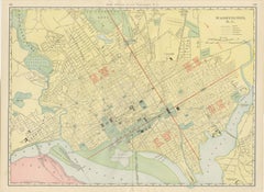
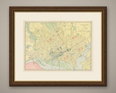
Antique Map of Washington, D.C., The Nation's Capital, Rand McNally, 1899

Antique Map of Washington, D.C., The Nation's Capital, Rand McNally, 1899

By Rand McNally & Co.

Located in Langweer, NL

Rand McNally mapped the capital in full for this antique map of Washington, District of Columbia, a double-page plan on pages 102 and 103 of its 1899 indexed atlas, with the four qua...

Category

Antique Late 19th Century American Late Victorian Maps

Materials

Paper
Antique Map of the World, with Steamship Routes, Rand McNally, 1899

Antique Map of the World, with Steamship Routes, Rand McNally, 1899

By Rand McNally & Co.

Located in Langweer, NL

This antique map of the world, published by Rand McNally in Chicago in 1899, charts the principal steamship routes of the day across every ocean, each one marked with its distance in...

Category

Antique Late 19th Century American Late Victorian Maps

Materials

Paper
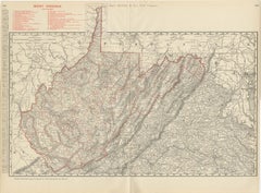
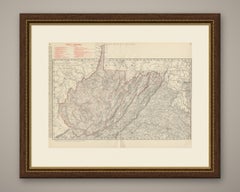
Antique Map of West Virginia, The Mountain State, Rand McNally, 1899

Antique Map of West Virginia, The Mountain State, Rand McNally, 1899

By Rand McNally & Co.

Located in Langweer, NL

The distinctive outline of the Mountain State fills this antique map of West Virginia, published by Rand McNally in 1899 as a double-page sheet on pages 118 and 119 of its indexed at...

Category

Antique Late 19th Century American Late Victorian Maps

Materials

Paper
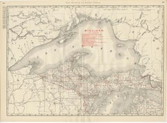
Antique Map of Northern Michigan and Lake Superior, Copper Country, 1899

Antique Map of Northern Michigan and Lake Superior, Copper Country, 1899

By Rand McNally & Co.

Located in Langweer, NL

Copper country fills this antique map of Northern Michigan and Lake Superior from the Rand McNally indexed atlas of 1899, a double-page sheet on pages 222 and 223 centred on the Uppe...

Category

Antique Late 19th Century American Late Victorian Maps

Materials

Paper
Antique Map of the United States, with Alaska Inset, Rand McNally, 1899

Antique Map of the United States, with Alaska Inset, Rand McNally, 1899

By Rand McNally & Co.

Located in Langweer, NL

Published by Rand McNally in 1899, this antique map of the United States is the atlas's principal map of the whole country, titled simply as the firm's "United States" and spread acr...

Category

Antique Late 19th Century American Late Victorian Maps

Materials

Paper
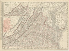
Antique Map of Virginia, The Old Dominion, Rand McNally, 1899

Antique Map of Virginia, The Old Dominion, Rand McNally, 1899

By Rand McNally & Co.

Located in Langweer, NL

An original antique map of Virginia from Rand McNally's 1899 indexed atlas, this double-page sheet on pages 106 and 107 runs from the Shenandoah Valley to the Chesapeake Bay and the ...

Category

Antique Late 19th Century American Late Victorian Maps

Materials

Paper
Antique Map of New York State, The Empire State, Rand McNally, 1899

Antique Map of New York State, The Empire State, Rand McNally, 1899

By Rand McNally & Co.

Located in Langweer, NL

An original antique map of New York State from Rand McNally's 1899 indexed atlas, this double-page sheet on pages 50 and 51 runs from Lake Erie and the Niagara frontier to the Adiron...

Category

Antique Late 19th Century American Late Victorian Maps

Materials

Paper
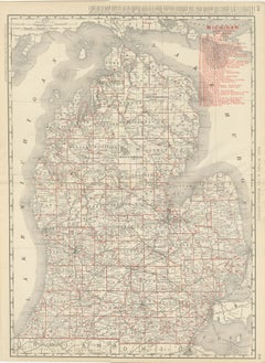
Antique Map of Michigan, The Great Lakes State, Rand McNally, 1899

Antique Map of Michigan, The Great Lakes State, Rand McNally, 1899

By Rand McNally & Co.

Located in Langweer, NL

Published by Rand McNally in 1899, this antique map of Michigan covers the Lower Peninsula on a double-page sheet, pages 218 and 219 of the indexed atlas, from the Straits of Mackina...

Category

Antique Late 19th Century American Late Victorian Maps

Materials

Paper
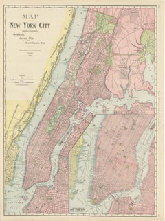
Antique Map of Manhattan, New York City, with Central Park, Rand McNally, 1899

Antique Map of Manhattan, New York City, with Central Park, Rand McNally, 1899

By Rand McNally & Co.

Located in Langweer, NL

Dated 1899 in its own title panel, this antique map of New York City by Rand McNally of Chicago is titled in full "Map of New York City Showing Portions of Brooklyn, Jersey City, and...

Category

Antique Late 19th Century American Late Victorian Maps

Materials

Paper
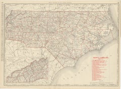
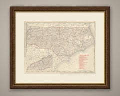
Antique Map of North Carolina, The Tar Heel State, Rand McNally, 1899

Antique Map of North Carolina, The Tar Heel State, Rand McNally, 1899

By Rand McNally & Co.

Located in Langweer, NL

Rand McNally printed this antique map of North Carolina across pages 122 and 123 of its 1899 indexed atlas, a double-page county map reaching from the Outer Banks to the Blue Ridge, ...

Category

Antique Late 19th Century American Late Victorian Maps

Materials

Paper
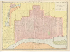
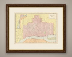
Antique Map of Detroit, with Belle Isle Park, Rand McNally, 1899

Antique Map of Detroit, with Belle Isle Park, Rand McNally, 1899

By Rand McNally & Co.

Located in Langweer, NL

Headed "Detroit and Vicinity", this antique map of Detroit by Rand McNally, 1899, lays out the city's street grid along the Detroit River, with Windsor and the Canadian shore opposit...

Category

Antique Late 19th Century American Late Victorian Maps

Materials

Paper
Antique Map of the Central United States, Chicago to Denver, Rand McNally, 1899

Antique Map of the Central United States, Chicago to Denver, Rand McNally, 1899

By Rand McNally & Co.

Located in Langweer, NL

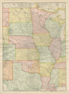
An original antique map of the central United States from the 1899 Rand McNally indexed atlas, this double-page sheet is the firm's "New Commercial Map, Chicago to Denver", printed a...

Category

Antique Late 19th Century American Late Victorian Maps

Materials

Paper
Antique Map of Georgia, The Peach State, Rand McNally, 1899

Antique Map of Georgia, The Peach State, Rand McNally, 1899

By Rand McNally & Co.

Located in Langweer, NL

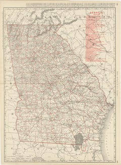
With one of the longest railroad legends in the whole atlas, this antique map of Georgia by Rand McNally, 1899, is a double-page county map on pages 138 and 139 of the indexed atlas,...

Category

Antique Late 19th Century American Late Victorian Maps

Materials

Paper
Antique Map of South Carolina, The Palmetto State, Rand McNally, 1899

Antique Map of South Carolina, The Palmetto State, Rand McNally, 1899

By Rand McNally & Co.

Located in Langweer, NL

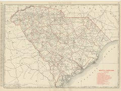
Every county is named and coloured on this antique map of South Carolina, published by Rand McNally in 1899 in its indexed atlas, with Columbia marked at the centre as capital and Ch...

Category

Antique Late 19th Century American Late Victorian Maps

Materials

Paper

Antique Map of Brooklyn, New York, with Prospect Park, Rand McNally, 1899

Antique Map of Brooklyn, New York, with Prospect Park, Rand McNally, 1899

By Rand McNally & Co.

Located in Langweer, NL

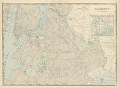
Rand McNally issued this antique map of Brooklyn in its 1899 indexed atlas as a double-page street plan on pages 58 and 59, the borough's grid running from the waterfront opposite lo...

Category

Antique Late 19th Century American Late Victorian Maps

Materials

Paper

Dishley Merino Ram and Ewe, Haut-Tingry, Antique Sheep Print, 1873

Dishley Merino Ram and Ewe, Haut-Tingry, Antique Sheep Print, 1873

Located in Langweer, NL

This antique sheep print shows a Dishley Merino ram and ewe at the Bergerie du Haut-Tingry, drawn and lithographed by F. Lehnert for the French agricultural album of the Vienna Expos...

Category

Antique Late 19th Century French Prints

Materials

Paper

Antique Map of Massachusetts, The Bay State, Rand McNally, 1899

Antique Map of Massachusetts, The Bay State, Rand McNally, 1899

By Rand McNally & Co.

Located in Langweer, NL

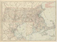
Rand McNally printed this antique map of Massachusetts across pages 38 and 39 of its 1899 indexed atlas, a double-page sheet running from the Berkshire hills to Cape Cod and the isla...

Category

Antique Late 19th Century American Late Victorian Maps

Materials

Paper
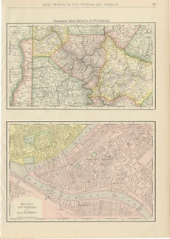
Antique Map of Pittsburg and Allegheny, The Steel City, Rand McNally, 1899

Antique Map of Pittsburg and Allegheny, The Steel City, Rand McNally, 1899

By Rand McNally & Co.

Located in Langweer, NL

On page 81 of its 1899 indexed atlas, Rand McNally set two maps on one sheet for this antique map of Pittsburgh and Allegheny: a township map of the surrounding county above and a st...

Category

Antique Late 19th Century American Late Victorian Maps

Materials

Paper
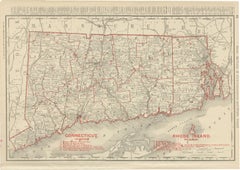
Antique Map of Connecticut and Rhode Island, with Narragansett Bay, 1899

Antique Map of Connecticut and Rhode Island, with Narragansett Bay, 1899

By Rand McNally & Co.

Located in Langweer, NL

Two New England states share this antique map of Connecticut and Rhode Island, published by Rand McNally in 1899 on page 32 of its indexed atlas, from Long Island Sound up to the Mas...

Category

Antique Late 19th Century American Late Victorian Maps

Materials

Paper
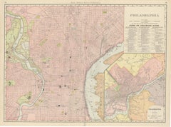
Antique Map of Philadelphia, with Delaware River Piers, Rand McNally, 1899

Antique Map of Philadelphia, with Delaware River Piers, Rand McNally, 1899

By Rand McNally & Co.

Located in Langweer, NL

Between the Schuylkill and the Delaware, this antique map of Philadelphia by Rand McNally, 1899, lays out the city's numbered street grid across a double-page sheet on pages 78 and 7...

Category

Antique Late 19th Century American Late Victorian Maps

Materials

Paper
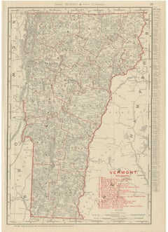
Antique Map of Vermont, The Green Mountain State, Rand McNally, 1899

Antique Map of Vermont, The Green Mountain State, Rand McNally, 1899

By Rand McNally & Co.

Located in Langweer, NL

This antique map of Vermont appears on page 29 of the Rand McNally indexed atlas of 1899, mapping the Green Mountain State county by county between Lake Champlain and the Connecticut...

Category

Antique Late 19th Century American Late Victorian Maps

Materials

Paper
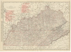
Antique Map of Kentucky and Tennessee, with the Bluegrass Region, 1899

Antique Map of Kentucky and Tennessee, with the Bluegrass Region, 1899

By Rand McNally & Co.

Located in Langweer, NL

Rand McNally combined two states on this antique map of Kentucky and Tennessee, a double-page sheet on pages 166 and 167 of its 1899 indexed atlas, running from the Ohio River and Ci...

Category

Antique Late 19th Century American Late Victorian Maps

Materials

Paper
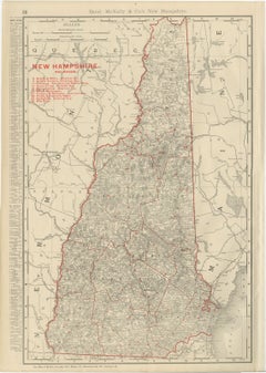
Antique Map of New Hampshire, The Granite State, Rand McNally, 1899

Antique Map of New Hampshire, The Granite State, Rand McNally, 1899

By Rand McNally & Co.

Located in Langweer, NL

White Mountain country is the heart of this antique map of New Hampshire, published by Rand McNally in 1899 on page 28 of its indexed atlas, with Mount Washington named among the pea...

Category

Antique Late 19th Century American Late Victorian Maps

Materials

Paper
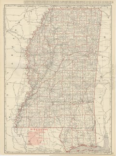
Antique Map of Mississippi, The Magnolia State, Rand McNally, 1899

Antique Map of Mississippi, The Magnolia State, Rand McNally, 1899

By Rand McNally & Co.

Located in Langweer, NL

The great river frames this antique map of Mississippi, a double-page county map on pages 158 and 159 of the Rand McNally indexed atlas of 1899, running from the Tennessee line to th...

Category

Antique Late 19th Century American Late Victorian Maps

Materials

Paper
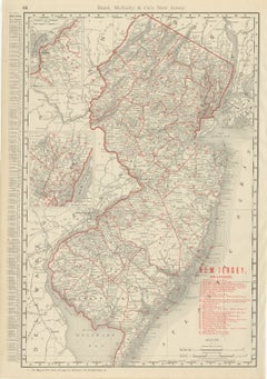
Antique Map of New Jersey, The Garden State, Rand McNally, 1899

Antique Map of New Jersey, The Garden State, Rand McNally, 1899

By Rand McNally & Co.

Located in Langweer, NL

Published by Rand McNally in 1899, this antique map of New Jersey maps the state county by county on page 68 of the indexed atlas, from the Highlands and the Kittatinny ridge down to...

Category

Antique Late 19th Century American Late Victorian Maps

Materials

Paper
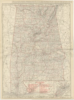
Antique Map of Alabama, The Yellowhammer State, Rand McNally, 1899

Antique Map of Alabama, The Yellowhammer State, Rand McNally, 1899

By Rand McNally & Co.

Located in Langweer, NL

Published by Rand McNally in 1899, this antique map of Alabama appears on page 150 of the indexed atlas, mapping the state county by county from the Tennessee line to Mobile Bay, wit...

Category

Antique Late 19th Century American Late Victorian Maps

Materials

Paper
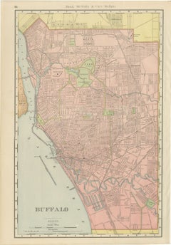
Antique Map of Buffalo, New York, on Lake Erie, Rand McNally, 1899

Antique Map of Buffalo, New York, on Lake Erie, Rand McNally, 1899

By Rand McNally & Co.

Located in Langweer, NL

This antique map of Buffalo, published by Rand McNally in 1899 on page 64 of its indexed atlas, plans the city along the Niagara River and the head of Lake Erie, with Fort Erie on th...

Category

Antique Late 19th Century American Late Victorian Maps

Materials

Paper
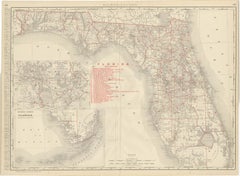
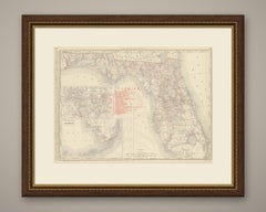
Antique Map of Florida, The Sunshine State, Rand McNally, 1899

Antique Map of Florida, The Sunshine State, Rand McNally, 1899

By Rand McNally & Co.

Located in Langweer, NL

Here is an antique map of Florida from the 1899 Rand McNally indexed atlas, a double-page sheet on pages 146 and 147 running from Pensacola and the Panhandle across the peninsula, wi...

Category

Antique Late 19th Century American Late Victorian Maps

Materials

Paper
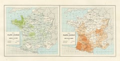
Antique Maps of France, Rapeseed, Tobacco and Saffron, 1873

Antique Maps of France, Rapeseed, Tobacco and Saffron, 1873

Located in Langweer, NL

This antique map of France shows rapeseed, tobacco and saffron, statistical maps of industrial crops drawn up for the French agricultural exhibit at the Vienna Exposition of 1873. Ra...

Category

Antique Late 19th Century French Maps

Materials

Paper
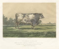
Markob, Durham Shorthorn Bull of Corbon, Antique Print, 1873

Markob, Durham Shorthorn Bull of Corbon, Antique Print, 1873

Located in Langweer, NL

This antique cattle print portrays Markob, the roan Durham Shorthorn bull of the state cattle farm at Corbon, drawn by H. Gobin and lithographed by Lehnert for the Vienna Exposition ...

Category

Antique Late 19th Century French Prints

Materials

Paper
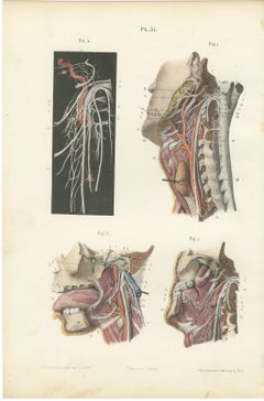
Nerves of the Pharynx and Floor of the Mouth, Hirschfeld Anatomy Print, 1866

Nerves of the Pharynx and Floor of the Mouth, Hirschfeld Anatomy Print, 1866

By Hirschfeld and Leveille

Located in Langweer, NL

This antique anatomy print of the nerves of the pharynx and floor of the mouth is an original 1866 hand coloured lithograph from Hirschfeld and Leveille's Nevrologie atlas, published...

Category

Antique Mid-19th Century French Napoleon III Prints

Materials

Paper

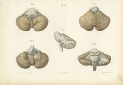
The Cerebellum, Antique Hirschfeld Anatomy Print, 1866

The Cerebellum, Antique Hirschfeld Anatomy Print, 1866

By Hirschfeld and Leveille

Located in Langweer, NL

This antique anatomy print of the cerebellum is an original 1866 hand coloured lithograph from Hirschfeld and Leveille's Nevrologie atlas, published in Paris by G. Masson. It is plat...

Category

Antique Mid-19th Century French Napoleon III Prints

Materials

Paper

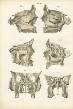
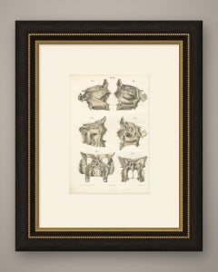
The Bony Nasal Cavity, Antique Hirschfeld Anatomy Print, 1866

The Bony Nasal Cavity, Antique Hirschfeld Anatomy Print, 1866

By Hirschfeld and Leveille

Located in Langweer, NL

This antique Hirschfeld anatomy print of the bony nasal cavity is Plate 86 from Hirschfeld and Leveille's Nevrologie atlas, an original hand-coloured lithograph published in Paris by...

Category

Antique Mid-19th Century French Napoleon III Prints

Materials

Paper
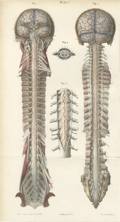
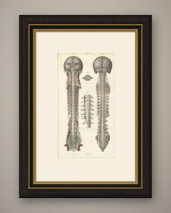
Arteries of the Brain and Spinal Cord, Hirschfeld Double Folding Plate, 1866

Arteries of the Brain and Spinal Cord, Hirschfeld Double Folding Plate, 1866

By Hirschfeld and Leveille

Located in Langweer, NL

This antique anatomy print of the arteries of the brain and spinal cord is an original 1866 hand coloured lithograph from Hirschfeld and Leveille's Nevrologie atlas, published in Par...

Category

Antique Mid-19th Century French Napoleon III Prints

Materials

Paper
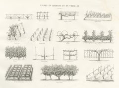
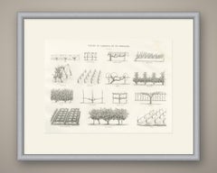
Cordon and Trellis Vines, Antique French Viticulture Print, 1873

Cordon and Trellis Vines, Antique French Viticulture Print, 1873

Located in Langweer, NL

This antique viticulture print, Vignes en cordons et en treilles, shows fifteen diagrams of cordon and trellis vine training from the French agricultural album prepared for the Vienn...

Category

Antique Late 19th Century French Prints

Materials

Paper
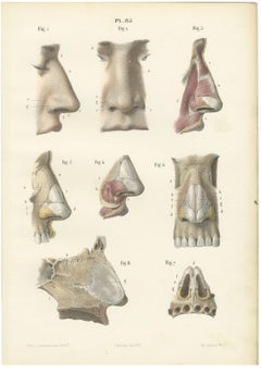
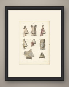
The External Nose and Its Cartilages, Antique Hirschfeld Anatomy Print, 1866

The External Nose and Its Cartilages, Antique Hirschfeld Anatomy Print, 1866

By Hirschfeld and Leveille

Located in Langweer, NL

This antique Hirschfeld anatomy print of the external nose and its cartilages is Plate 85 from Hirschfeld and Leveille's Nevrologie atlas, an original hand-coloured lithograph publis...

Category

Antique Mid-19th Century French Napoleon III Prints

Materials

Paper