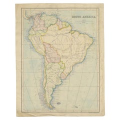
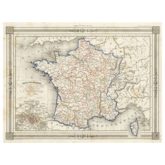
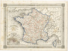
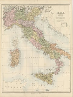
Antique Map Italy, Bartholomew for Black’s General Atlas, Edinburgh 1884
Description:
This detailed map of Italy was published in the New and Revised Edition of Black’s General Atlas of the World, issued in Edinburgh in 1884 by the respected Scottish publishing house A. & C. Black. The map was prepared under the direction of the renowned cartographer John Bartholomew, whose work played a major role in shaping nineteenth-century atlas cartography.
John Bartholomew was one of the most influential mapmakers of the Victorian era. His atlases for A. & C. Black were admired for their clarity, precision, and elegant presentation. Combining scientific geographic accuracy with refined engraving and printed color, Bartholomew’s maps became widely used in education, government, and scholarly circles throughout Europe and the British Empire.
The map presents the Italian peninsula shortly after the unification of Italy in the nineteenth century. Political divisions are clearly distinguished through printed color, showing the administrative regions of the newly unified kingdom. The map extends from the Alpine frontier in the north to the southern tip of Calabria, capturing the entire peninsula with remarkable geographic detail.
Northern Italy shows the Alpine region bordering Switzerland and Austria, with cities such as Turin, Milan, and Venice prominently marked. The Po River basin is depicted with a dense network of towns and transportation routes reflecting the economic importance of the region. Central Italy includes Florence, Pisa, and Rome, while the southern regions show Naples and the mountainous landscapes of Calabria and Basilicata.
The map also includes the major Italian islands. Sardinia...
Category
Late 19th Century Scottish Antique Paper Furniture