Items Similar to 1817 Map of Puerto Rico and the Virgin Islands with Original Hand Coloring


Want more images or videos?
Request additional images or videos from the seller
1 of 6
1817 Map of Puerto Rico and the Virgin Islands with Original Hand Coloring
About the Item
The title provided for this map is "Porto Rico and Virgin Isles," and it is an antique map from an early 19th century atlas, dated 1817, featuring original hand coloring. This historic map showcases the geographical layout of Puerto Rico and the nearby Virgin Islands, including St. Thomas and St. Croix. The hand coloring is used to highlight different elevations and terrains, such as mountain ranges, valleys, and coastal areas.
The age of the map, over 200 years old, is reflected in the paper's tone and the style of cartography. Despite its age, the map's lines and text are remarkably clear, indicating that it has been well-preserved. The fine detail in the engraving and the careful application of color demonstrate the high level of craftsmanship that went into making maps during this period. Maps like this one would have been important for navigation and trade in the Caribbean during the 19th century, as well as being valuable items for those interested in the region’s geography.
The overall condition of the map appears to be good, with paper coloration consistent with its age. There might be some slight foxing or age-related toning, but it does not detract from the legibility or aesthetic quality of the map. The neat lines and margins are well-preserved, and the text is clear, suggesting the map has been well cared for over the years. However, the bottome has been enforced neatly and there is one tear not touching the image. The engraving is precise, and the hand coloring is applied with skill, which enhances the visual appeal of the map. This piece would have served as both a practical guide for navigation and a work of art for those interested in the geography of the West India Islands during the time it was created.
More info about the maker:
John Thomson was a notable Scottish cartographer from the late 18th and early 19th centuries. He was active in Edinburgh, which was a center for Enlightenment science, literature, and education, and it became an important hub for cartographic publishing during that time.
Thomson's work is best known for its accuracy, detail, and the aesthetic appeal of his maps. He published "Thomson's New General Atlas" around 1817, which was considered one of the most detailed world atlases of the time. This work was significant for its use of dramatic color and for including updates based on new discoveries and contemporary geopolitical changes.
Thomson's maps were also distinctive for their lack of decorative embellishments, which were common in maps of the earlier periods. Instead, he focused on the clarity and functionality of the cartographic information, which made his maps particularly useful for navigators and scholars. The quality of the paper and printing techniques used by Thomson were also superior for the time, contributing to the longevity and crisp appearance of his maps.
The New General Atlas by John Thomson included detailed maps of countries from around the world, reflecting the state of geographic knowledge during the Regency period. His works remain valuable to collectors and historians for their representation of historical geography and as artifacts of the cartographic arts of the early 19th century.
- Dimensions:Height: 25.99 in (66 cm)Width: 11.03 in (28 cm)Depth: 0 in (0.02 mm)
- Materials and Techniques:Paper,Engraved
- Period:
- Date of Manufacture:1817
- Condition:Additions or alterations made to the original: The lower margin has been enforced as the this map was the upper part of a page with Haiti, but split in two. Good condition considering its age. Flattened folding lines and one tear at the bottom not reaching the image. Original Bordercoloring. Minor foxing. Study image carefully. Ideal for framing or matting.
- Seller Location:Langweer, NL
- Reference Number:
About the Seller
5.0
Platinum Seller
These expertly vetted sellers are 1stDibs' most experienced sellers and are rated highest by our customers.
Established in 2009
1stDibs seller since 2017
1,922 sales on 1stDibs
Typical response time: <1 hour
- ShippingRetrieving quote...Ships From: Langweer, Netherlands
- Return PolicyA return for this item may be initiated within 14 days of delivery.
More From This SellerView All
- Antique Map of the Atlantic Islands, 1817Located in Langweer, NLAntique map titled 'Atlantic Islands'. Large map of the Atlantic Islands include the Cape Verde islands, Canary islands, Azore islands and Madeira islands. Also included a view of th...Category
Antique Early 19th Century Maps
MaterialsPaper
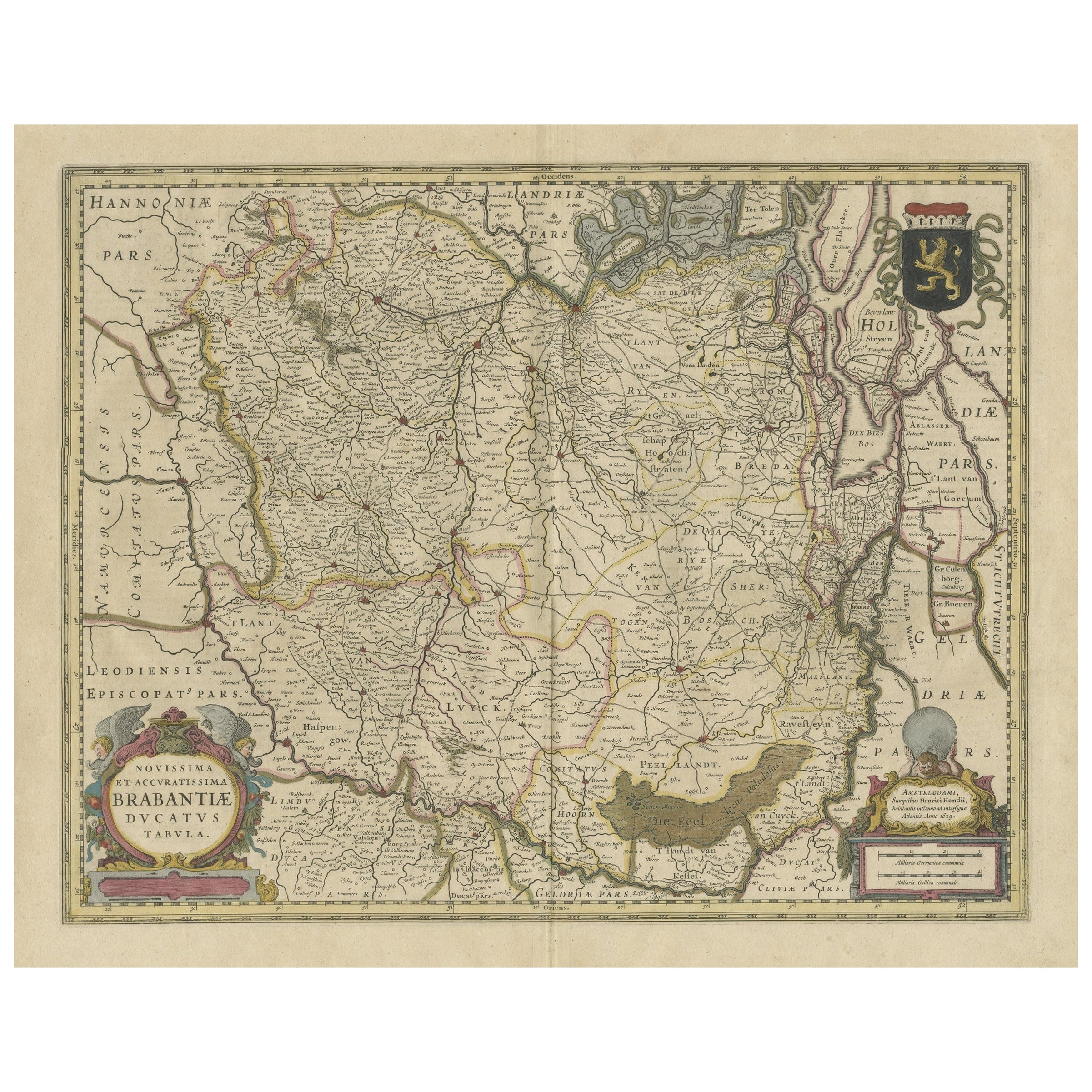
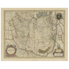
- Antique Map of Brabant, the Netherlands, with Original Hand ColoringLocated in Langweer, NLOriginal antique map titled 'Novissima et Accuratissima Brabantiae Ducatus Tabula'. Old map of Brabant, the Netherlands. North is to the right. Like all other maps of Brabantiae Duca...Category
Antique Mid-17th Century Maps
MaterialsPaper
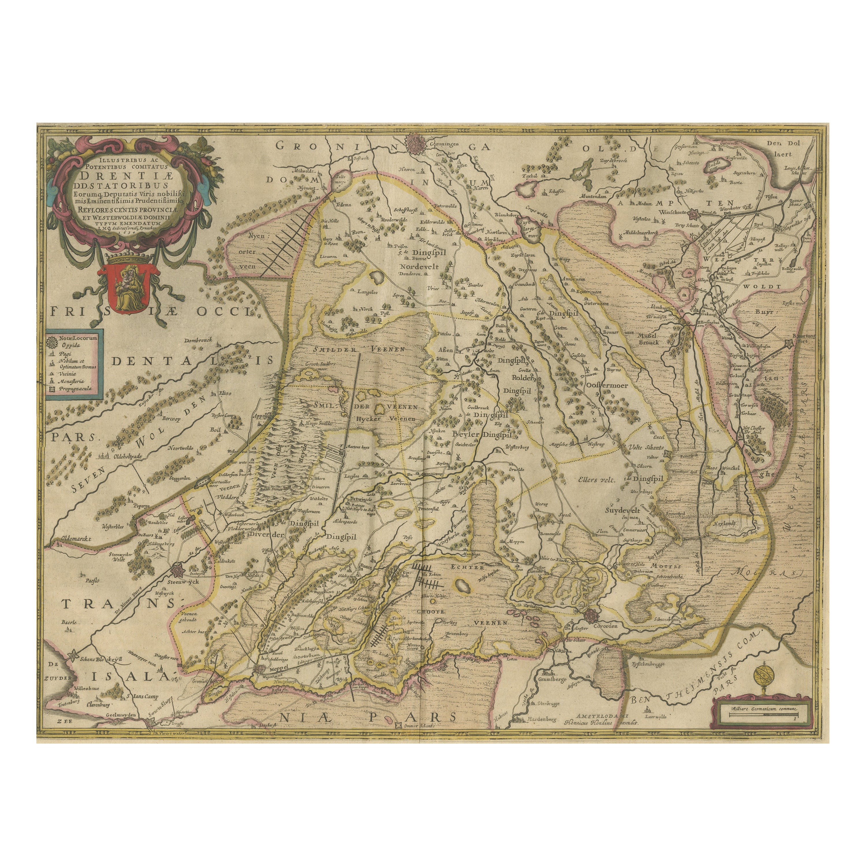
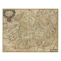
- Antique Map of Drenthe, the Netherlands, with Original Hand ColoringLocated in Langweer, NLOriginal antique map titled 'Illustribus ac Potentibus Comitatus Drentiae (..)'. Old map of the province of Drenthe, the Netherlands. Published by H. Hondius circa 1639. Hendrik ...Category
Antique Mid-17th Century Maps
MaterialsPaper
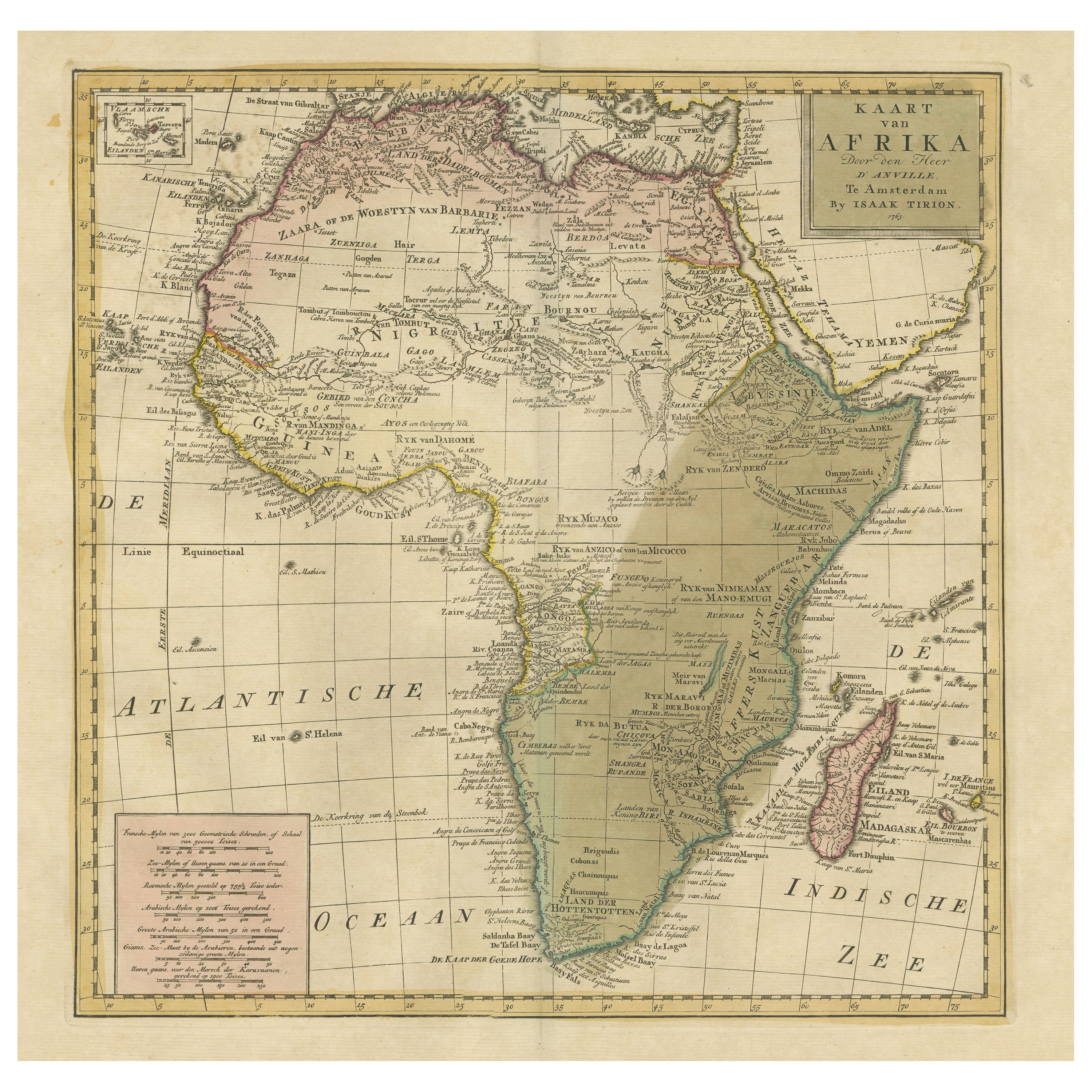
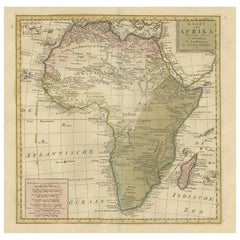
- Antique Map of Africa with Original Hand ColoringLocated in Langweer, NLAntique map titled 'Kaart van Afrika door den Heer d'Anville'. Detailed original old map of Africa, with very small inset map titled 'Vlaamsche Eilanden', which shows the Azores. Pub...Category
Antique Mid-18th Century Maps
MaterialsPaper
- Original Antique Map of England with Hand ColoringLocated in Langweer, NLAntique map titled 'Engand'. Original old map of England. Engraved by W. Milton. Published by John Mc. Gowan, circa 1829.Category
Antique Mid-19th Century Maps
MaterialsPaper
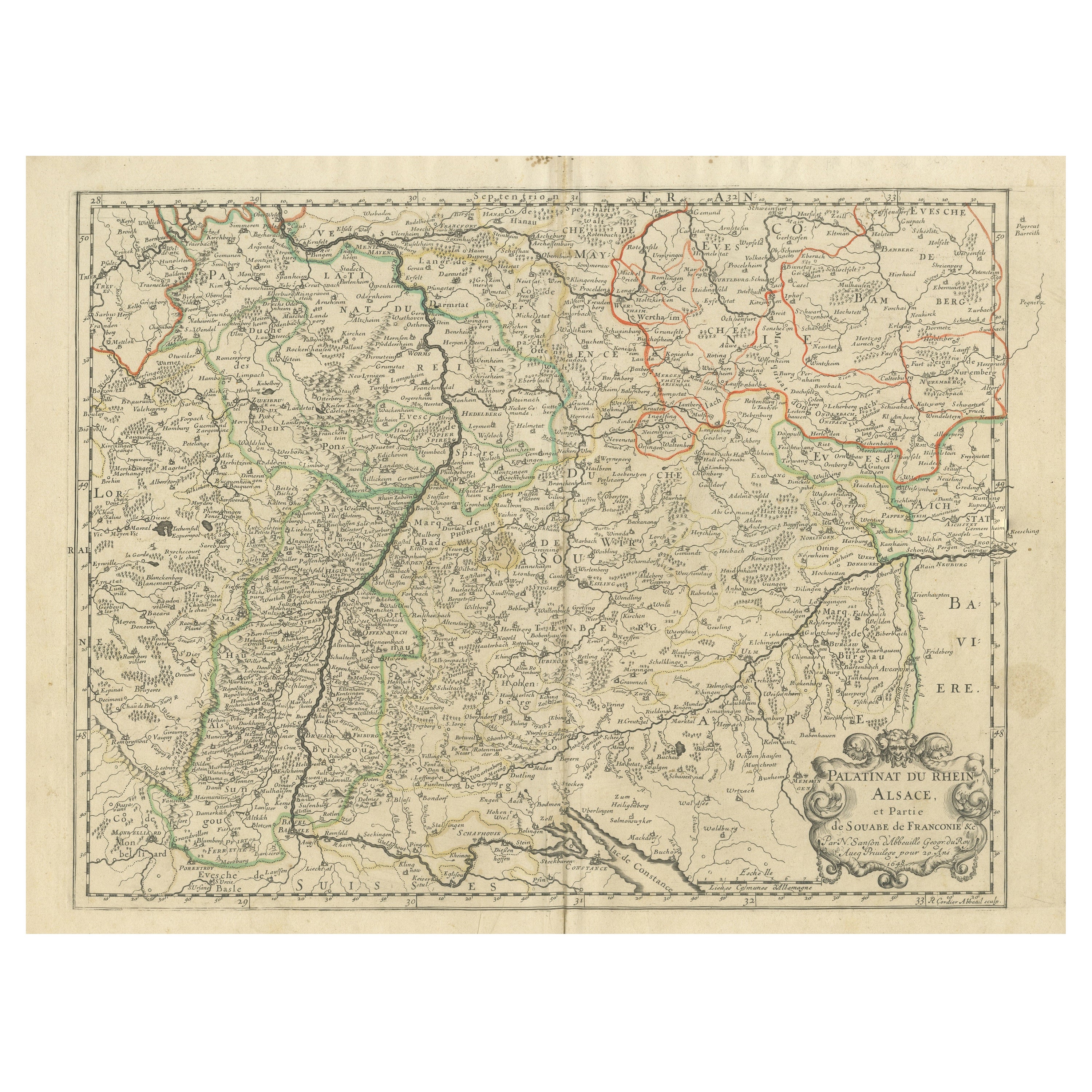
- Antique Map of the Rhineland and Alsace Region with Original Hand ColoringLocated in Langweer, NLAntique map titled 'Palitinat du Rhein, Alsace, et partie de Souabe de Franconie (..)'. Double-page engraved map of the Rhineland and Alsace with original/contemporary hand coloring....Category
Antique Mid-17th Century Maps
MaterialsPaper


You May Also Like
- Original Antique Map of The World by Thomas Clerk, 1817Located in St Annes, LancashireGreat map of The Eastern and Western Hemispheres On 2 sheets Copper-plate engraving Drawn and engraved by Thomas Clerk, Edinburgh. Published by Mackenzie And Dent, 1817 ...Category
Antique 1810s English Maps
MaterialsPaper
- Original Antique Map of China by Thomas Clerk, 1817Located in St Annes, LancashireGreat map of China Copper-plate engraving Drawn and engraved by Thomas Clerk, Edinburgh. Published by Mackenzie And Dent, 1817 Unframed.Category
Antique 1810s English Maps
MaterialsPaper
- Original Antique Map of Spain and Portugal by Thomas Clerk, 1817Located in St Annes, LancashireGreat map of Spain and Portugal Copper-plate engraving Drawn and engraved by Thomas Clerk, Edinburgh. Published by Mackenzie And Dent, 1817 Unframed.Category
Antique 1810s English Maps
MaterialsPaper
- English Engraved Hand Colored Map of the North Eastern United States, circa 1817Located in Hollywood, SCEnglish copper engraved hand colored map of the North Eastern United States matted under glass in a gilt frame, Early 19th Century. Drawn and Engraved for Thomson's New General Atlas...Category
Antique 1810s English George III Maps
MaterialsGlass, Giltwood, Paint, Paper
- Large Original Vintage Map of The Pacific Islands Including HawaiiLocated in St Annes, LancashireGreat map of The Pacific Islands Unframed Original color By John Bartholomew and Co. Edinburgh Geographical Institute Published, circa 1...Category
Vintage 1920s British Maps
MaterialsPaper
- Original Antique Map of South America by Thomas Clerk, 1817Located in St Annes, LancashireGreat map of South America Copper-plate engraving Drawn and engraved by Thomas Clerk, Edinburgh. Published by Mackenzie And Dent, 1817 Unframed.Category
Antique 1810s English Maps
MaterialsPaper


Recently Viewed
View AllMore Ways To Browse
18th Century Revolutionary
Wenceslas Hollar
Bad Bentheim
English County Maps By Blaeu
Von Meer
Minature Map
Anguilla Map
James Calvert Smith
Montenegro Antique Map
Mozambique Antique Map
Nottinghamshire Antique Map
Panama Antique Map
Wisconsin Map
Antique Map Sydney
Historical Balkan Map
Map Of Majorca
Yorkshire Ridings Map
Antique Map Dordogne