Items Similar to English Engraved Hand Colored Map of the North Eastern United States, circa 1817


Want more images or videos?
Request additional images or videos from the seller
1 of 8
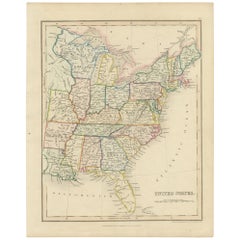
English Engraved Hand Colored Map of the North Eastern United States, circa 1817
About the Item
English copper engraved hand colored map of the North Eastern United States matted under glass in a gilt frame, Early 19th Century. Drawn and Engraved for Thomson's New General Atlas, 1817.
- Dimensions:Height: 22 in (55.88 cm)Width: 25.75 in (65.41 cm)Depth: 1 in (2.54 cm)
- Style:George III (Of the Period)
- Materials and Techniques:
- Place of Origin:
- Period:
- Date of Manufacture:circa 1817
- Condition:Wear consistent with age and use.
- Seller Location:Hollywood, SC
- Reference Number:
About the Seller
4.7
Vetted Seller
These experienced sellers undergo a comprehensive evaluation by our team of in-house experts.
Established in 1970
1stDibs seller since 2010
398 sales on 1stDibs
Typical response time: 11 hours
- ShippingRetrieving quote...Ships From: Hollywood, SC
- Return PolicyThis item cannot be returned.
More From This SellerView All
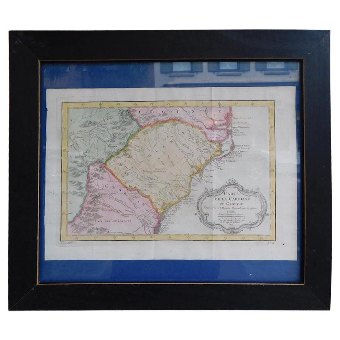
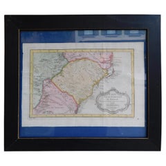
- French Framed Copper Engraved Hand Colored Map of Carolina & Georgia, Circa 1757Located in Hollywood, SCFrench copper engraved hand colored map of Carolina & Georgia matted under glass with a painted frame, mid-18th centuryCategory
Antique 1750s French Louis XV Maps
MaterialsPaper, Paint, Wood, Glass
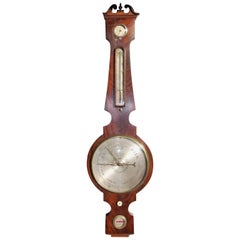
- English Mahogany Prince of Wales Banjo Barometer, Circa 1820Located in Hollywood, SCEnglish mahogany four dial banjo barometer with broken arch pediment, steel engraved face with Prince of Wales motif, and original rotating bone dial. Barometer can be restored to wo...Category
Antique 1820s English George III Scientific Instruments
MaterialsSteel
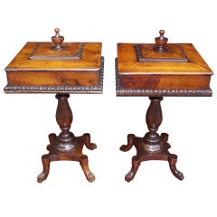
- Pair of English Mahogany Lambs Tongue Humidors , Circa 1790Located in Hollywood, SCPair of English mahogany hinged top humidors with centered urn finial, tiered lambs tongue , turned bulbous ringed pedestals, and terminating on rectangul...Category
Antique 1790s English George III Tobacco Accessories
MaterialsMahogany
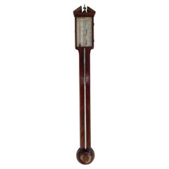
- English Mahogany Steel Engraved Stick Barometer Signed F. Tarone, Circa 1780Located in Hollywood, SCEnglish mahogany stick Barometer with a broken arch pediment, brass urn finial, Satin wood string inlay, hinged glass door revealing a numeral steel engraved dial with original mounted thermometer and barometric pressure gauge. Signed F. Tarone. Late 18th Century Barometer...Category
Antique 1780s English Sheraton Scientific Instruments
MaterialsSteel
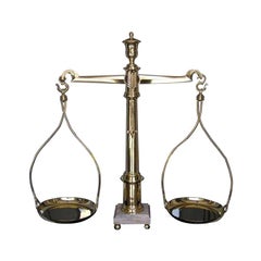
- English Brass Urn & Marble Base Scale . Circa 1815Located in Hollywood, SCEnglish brass scale with centered urn , feather pointer , brass pans, marble base , and terminating on brass ball feet. All original . Early 19t...Category
Antique 1810s English George III Scientific Instruments
MaterialsMarble, Brass
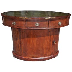
- English Mahogany Oval Sea Captains Leather Top Desk, Circa 1800Located in Hollywood, SCEnglish mahogany oval sea captains desk with hinged leather top concealing two upper hidden compartments, single front drawer, original brasses, ebony...Category
Antique Early 1800s English George III Desks
MaterialsBrass
You May Also Like
- Framed 1839 Hand Colored Map of the United StatesLocated in Stamford, CTFramed hand colored map of the United States of America from 1839. Newly framed in a giltwood frame.Category
Antique 1830s American American Classical Maps
MaterialsGiltwood, Paper, Glass
- Framed 1820s Hand Colored Map of the United StatesLocated in Stamford, CTFramed 1820s hand colored map photos of North America and South America. As found framed in giltwood frame.Category
Antique 1820s American Spanish Colonial Maps
MaterialsGiltwood, Paper, Glass
- Original Antique Hand-colored Map of the United States, circa 1845Located in Langweer, NLAntique map titled 'United States'. Old map of the United States, includes the last part of the North West Territory (present day Wisconsin and part of Minnesota). It also marks Ft. Crawford at the confluence of the Mississippi River and the Ouisconsin River (present day Wisconsin River). Published by Orr & Company; Amen Corner...Category
Antique Mid-19th Century Maps
MaterialsPaper
- Antique Map of the Eastern United States with Inset Map of TexasLocated in Langweer, NLAntique map titled 'Verein-Staaten von Nord-America mit Ausnahme Florida's und der Westlichen Territorien'. This map extends as far west as Louisiana and only includes the northern p...Category
Antique Mid-19th Century Maps
MaterialsPaper
- Antique Map of The United States of North America, Pacific States, 1882Located in Langweer, NLThe map is from the same 1882 Blackie Atlas and focuses on the Pacific States of the United States of America during that period. Here are some details and historical context about t...Category
Antique 1880s Maps
MaterialsPaper
- Antique Map of the Eastern United States by Levasseur '1875'Located in Langweer, NLAntique map titled 'Carte de la Region orientale des États-Unis et de la dominion du Canada'. Large map of the Eastern United States. This map originates from 'Atlas de Géographie Mo...Category
Antique Late 19th Century Maps
MaterialsPaper


Recently Viewed
View AllMore Ways To Browse
Antique Map Of New England
Antique Maps New England
Antique Map New England
Antique New England Maps
George III Copper Furniture
Hand Painted Antique Map
Framed Atlas Map
Large Antique Compass
Antique New England Maps
Antique Map New England
Antique Map Of New England
Antique Maps New England
Antique Map Of Greece
Antique Greek Map
Antique Greece Map
Antique Maps Greece
Antique Map Greece
Nautical Chart Nautical Chart