Items Similar to Antique Map of the Rhineland and Alsace Region with Original Hand Coloring


Want more images or videos?
Request additional images or videos from the seller
1 of 6
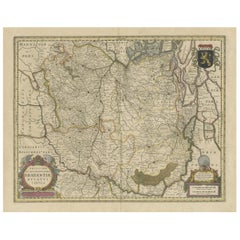
Antique Map of the Rhineland and Alsace Region with Original Hand Coloring
About the Item
Antique map titled 'Palitinat du Rhein, Alsace, et partie de Souabe de Franconie (..)'. Double-page engraved map of the Rhineland and Alsace with original/contemporary hand coloring. Published by N. Sanson, circa 1648.
Nicolas Sanson (1600-1667) sometimes called Nicolas Sanson d'Abbeville or Sanson d'Abbeville, was the most important French cartographer of the 17th century. Tooley called Sanson "the founder of the French school of cartography." He began making maps in the late 1620s, and in the 1630s he was working with Melchior Tavernier. Later, Sanson worked in concert with the print publisher Pierre Mariette, with whom he published his great atlas: Cartes générales de toutes les parties du monde (1658). After Sanson's death in 1667, his son Guillaume carried on the business in partnership with Alexis Hubert Jaillot. Guillaume established himself as a very important French mapmaker in his own right.
- Dimensions:Height: 16.93 in (43 cm)Width: 22.45 in (57 cm)Depth: 0.02 in (0.5 mm)
- Materials and Techniques:
- Period:Mid-17th Century
- Date of Manufacture:c.1648
- Condition:Original folding line. Original/contemporary hand coloring. Shows some wear and soiling. Spots in upper margin, also a few very tiny holes. Blank verso. Please study image carefully.
- Seller Location:Langweer, NL
- Reference Number:
About the Seller
5.0
Platinum Seller
These expertly vetted sellers are 1stDibs' most experienced sellers and are rated highest by our customers.
Established in 2009
1stDibs seller since 2017
1,929 sales on 1stDibs
Typical response time: <1 hour
- ShippingRetrieving quote...Ships From: Langweer, Netherlands
- Return PolicyA return for this item may be initiated within 14 days of delivery.
More From This SellerView All
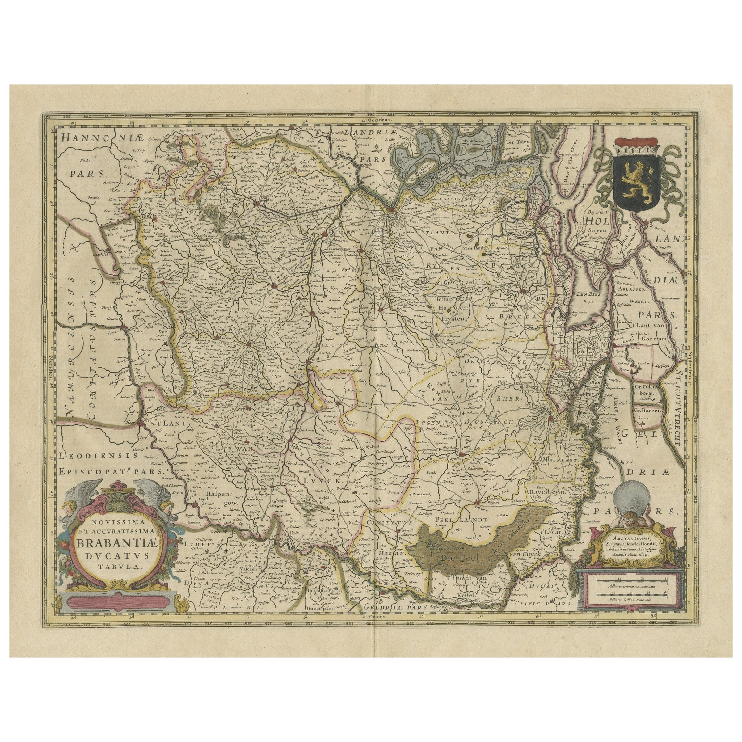
- Antique Map of Brabant, the Netherlands, with Original Hand ColoringLocated in Langweer, NLOriginal antique map titled 'Novissima et Accuratissima Brabantiae Ducatus Tabula'. Old map of Brabant, the Netherlands. North is to the right. Like all other maps of Brabantiae Duca...Category
Antique Mid-17th Century Maps
MaterialsPaper
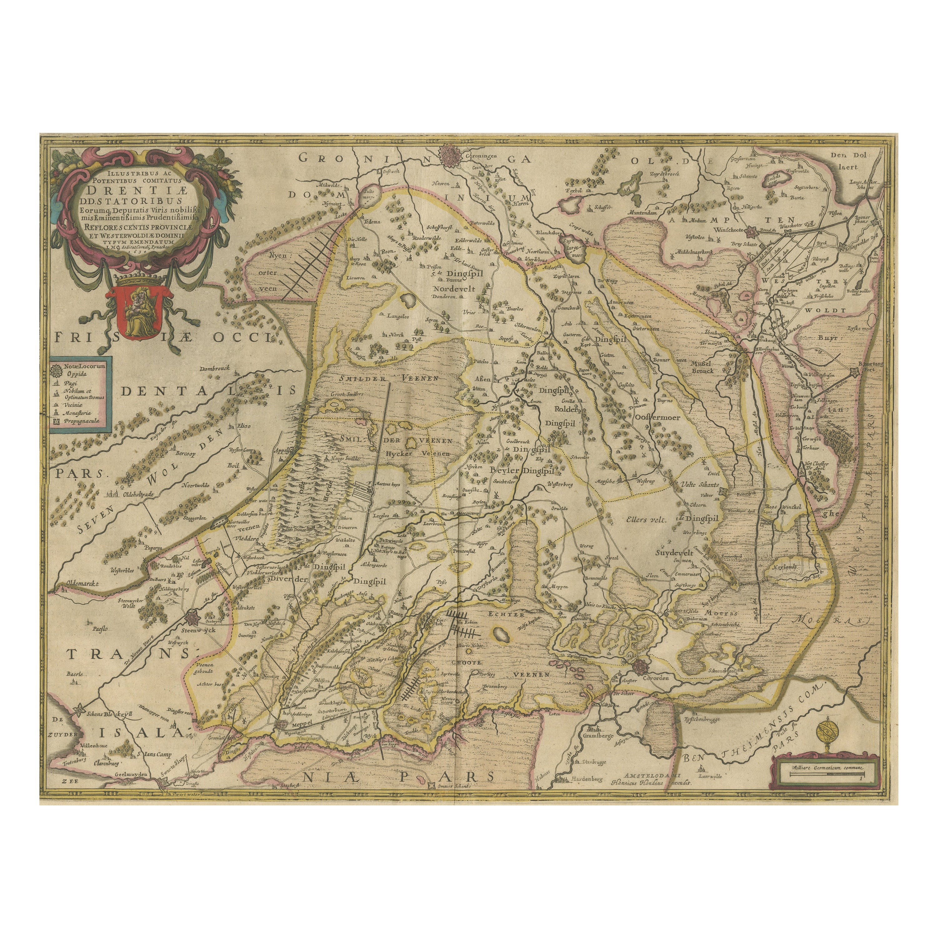
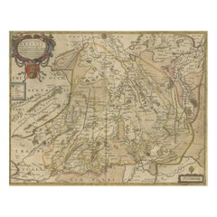
- Antique Map of Drenthe, the Netherlands, with Original Hand ColoringLocated in Langweer, NLOriginal antique map titled 'Illustribus ac Potentibus Comitatus Drentiae (..)'. Old map of the province of Drenthe, the Netherlands. Published by H. Hondius circa 1639. Hendrik ...Category
Antique Mid-17th Century Maps
MaterialsPaper
- Original Antique Map of England with Hand ColoringLocated in Langweer, NLAntique map titled 'Engand'. Original old map of England. Engraved by W. Milton. Published by John Mc. Gowan, circa 1829.Category
Antique Mid-19th Century Maps
MaterialsPaper
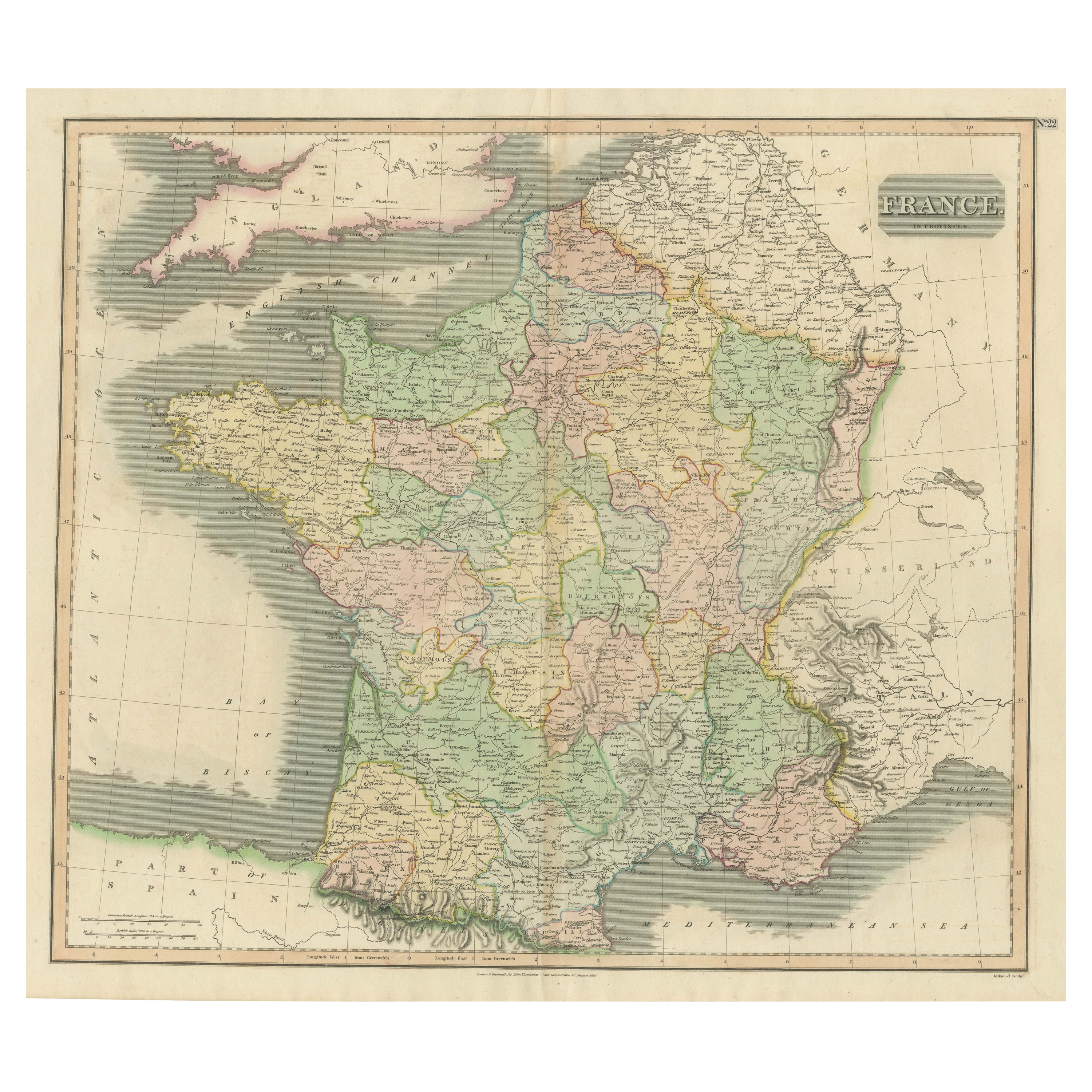
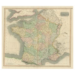
- Large Antique Map of France with Original Hand ColoringLocated in Langweer, NLAntique map titled 'France in Provinces'. Beautiful antique map of France. Drawn and engraved for John Thomson's 'New General Atlas' published circa 1814.Category
Antique Early 19th Century Maps
MaterialsPaper
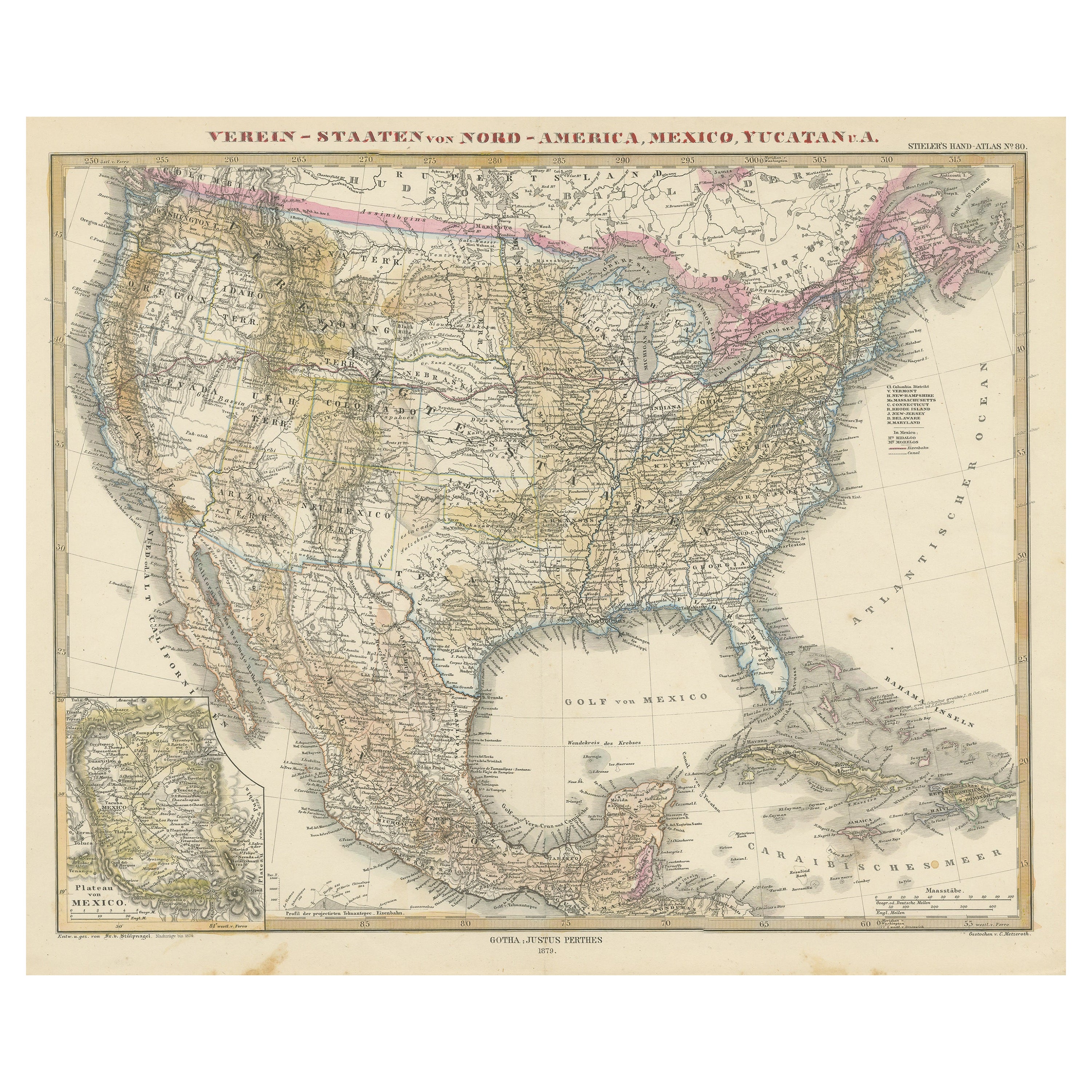
- Antique Map with Hand Coloring of the United States and the CaribbeanLocated in Langweer, NLAntique map titled 'Verein-Staaten von Nord-America, Mexico, Yucatan u.a.'. Very detailed map of the United States of America showing the Caribbean. With an inset map of the surround...Category
Antique Late 19th Century Maps
MaterialsPaper
- Antique Map of the British Isles with Contemporary Hand ColoringLocated in Langweer, NLAntique map titled 'Les Isles Britanniques'. Original antique map of the British Isles, with original/contemporary hand coloring. Published by Crepe, circa 1767.Category
Antique Late 18th Century Maps
MaterialsPaper


You May Also Like
- The Normandy Region of France: A 17th C. Hand-colored Map by Sanson and JaillotBy Nicolas SansonLocated in Alamo, CAThis large hand-colored map entitled "Le Duché et Gouvernement de Normandie divisée en Haute et Basse Normandie en divers Pays; et par evêchez, avec le Gouvernement General du Havre ...Category
Antique 1690s French Maps
MaterialsPaper
- 17th Century Hand Colored Map of the Liege Region in Belgium by VisscherBy Nicolaes Visscher IILocated in Alamo, CAAn original 17th century map entitled "Leodiensis Episcopatus in omnes Subjacentes Provincias distincté divisusVisscher, Leodiensis Episcopatus" by Nicolaes Visscher II, published in Amsterdam in 1688. The map is centered on Liege, Belgium, includes the area between Antwerp, Turnhout, Roermond, Cologne, Trier and Dinant. This attractive map is presented in a cream-colored mat measuring 30" wide x 27.5" high. There is a central fold, as issued. There is minimal spotting in the upper margin and a tiny spot in the right lower margin, which are under the mat. The map is otherwise in excellent condition. The Visscher family were one of the great cartographic families of the 17th century. Begun by Claes Jansz Visscher...Category
Antique Late 17th Century Dutch Maps
MaterialsPaper
- Original Antique Map of The World by Thomas Clerk, 1817Located in St Annes, LancashireGreat map of The Eastern and Western Hemispheres On 2 sheets Copper-plate engraving Drawn and engraved by Thomas Clerk, Edinburgh. Published by Mackenzie And Dent, 1817 ...Category
Antique 1810s English Maps
MaterialsPaper
- Original Antique Map of Spain and Portugal, circa 1790Located in St Annes, LancashireSuper map of Spain and Portugal Copper plate engraving by A. Bell Published, circa 1790. Unframed.Category
Antique 1790s English Other Maps
MaterialsPaper
- Original Antique Map of Ireland- Tipperary and Waterford. C.1840Located in St Annes, LancashireGreat map of Tipperary and Waterford Steel engraving Drawn under the direction of A.Adlard Published by How and Parsons, C.1840 Unframed.Category
Antique 1840s English Maps
MaterialsPaper
- 17th Century Hand-Colored Map of a Region in West Germany by JanssoniusBy Johannes JanssoniusLocated in Alamo, CAThis attractive highly detailed 17th century original hand-colored map is entitled "Archiepiscopatus Maghdeburgensis et Anhaltinus Ducatus cum terris adjacentibus". It was published ...Category
Antique Mid-17th Century Dutch Maps
MaterialsPaper


