Items Similar to Antique Print of Celestial Hemispheres, 1854
Want more images or videos?
Request additional images or videos from the seller
1 of 10
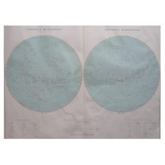
Antique Print of Celestial Hemispheres, 1854
$309.76
£230.13
€260
CA$429.50
A$461.89
CHF 246.97
MX$5,570.26
NOK 3,123.15
SEK 2,845.59
DKK 1,981.63
About the Item
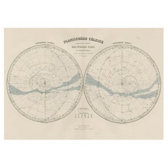
Antique world map titled 'Northern Celestial Hemisphere - Southern Celestial Hemisphere'. Old map with two charts of the celestial hemispheres. This map orginates from 'General Atlas Of The World: Containing Upwards Of Seventy Maps (..)' by Adam & Charles Black.
Artists and Engravers: Engraved by J. Bartholomew.
Condition: Good, general age-related toning. Please study image carefully.
Date: 1854
Overall size: 44.2 x 31.3 cm.
Image size: 40.6 x 24.5 cm.
We sell original antique maps to collectors, historians, educators and interior decorators all over the world. Our collection includes a wide range of authentic antique maps from the 16th to the 20th centuries. Buying and collecting antique maps is a tradition that goes back hundreds of years. Antique maps have proved a richly rewarding investment over the past decade, thanks to a growing appreciation of their unique historical appeal. Today the decorative qualities of antique maps are widely recognized by interior designers who appreciate their beauty and design flexibility. Depending on the individual map, presentation, and context, a rare or antique map can be modern, traditional, abstract, figurative, serious or whimsical. We offer a wide range of authentic antique maps for any budget.
- Dimensions:Height: 12.33 in (31.3 cm)Width: 17.41 in (44.2 cm)Depth: 0 in (0.01 mm)
- Materials and Techniques:
- Place of Origin:
- Period:
- Date of Manufacture:1854
- Condition:Condition: Good, general age-related toning. Please study image carefully.
- Seller Location:Langweer, NL
- Reference Number:Seller: BG-11849-61stDibs: LU3054329349782
About the Seller
5.0
Recognized Seller
These prestigious sellers are industry leaders and represent the highest echelon for item quality and design.
Platinum Seller
Premium sellers with a 4.7+ rating and 24-hour response times
Established in 2009
1stDibs seller since 2017
2,826 sales on 1stDibs
Typical response time: 1 hour
- ShippingRetrieving quote...Shipping from: Langweer, Netherlands
- Return Policy
More From This Seller
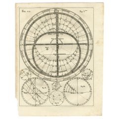
View AllAntique Print with Charts of Hemispheres by Scherer, c.1703
Located in Langweer, NL
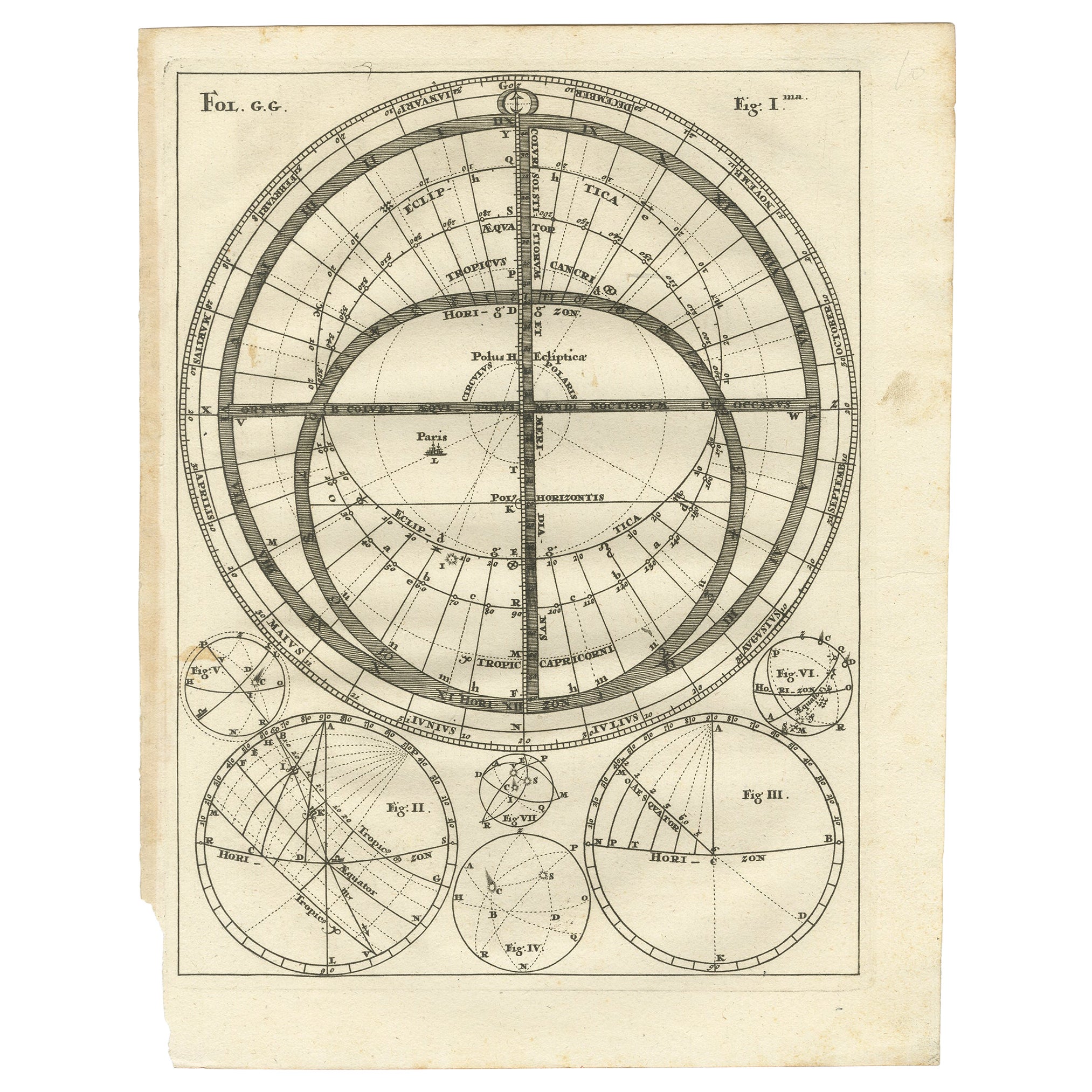
Various antique charts of hemispheres illustrating the positioning of the earth. Printed for Scherer's 'Atlas Novus' (1702-1710).
Artists and Engravers: Heinrich Scherer (1628-1704) was a Professor of Hebrew, Mathematics and Ethics at the University of Dillingen until about 1680. Thereafter he obtained important positions as Official Tutor to the Royal Princes...
Category
Antique 18th Century German Prints
Materials
Paper
$228 Sale Price
20% Off
Antique Map of the Night Skies of the Northern and Southern Hemispheres, 1880
Located in Langweer, NL
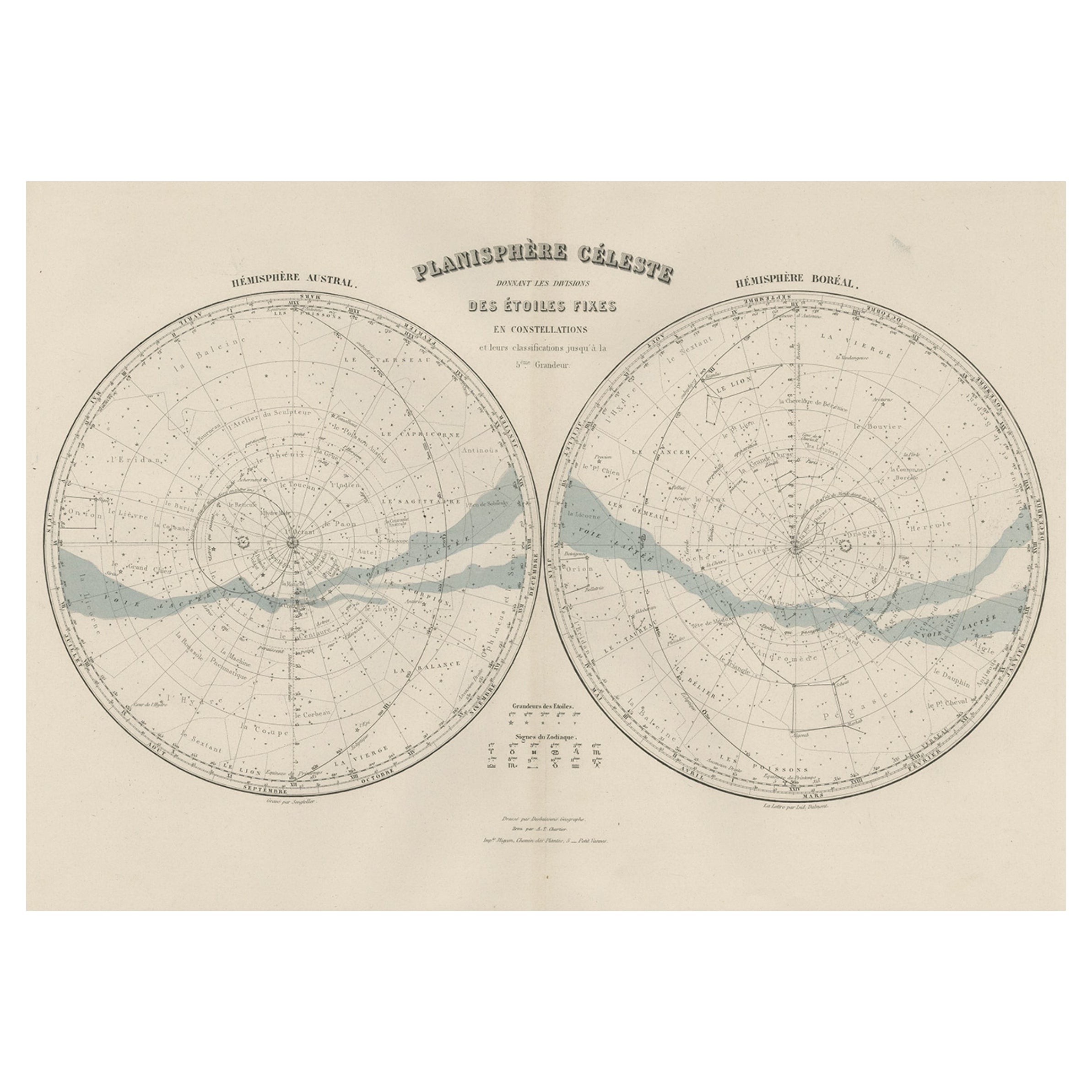
Antique world map titled 'Planisphère en Céleste'.
This map depicts the night skies of both the northern and southern hemispheres. This map originates from 'Géographie Universell...
Category
Antique 1880s Maps
Materials
Paper
$276 Sale Price
20% Off
Antique Chart with Isomagnetic Lines by Black, 1854
Located in Langweer, NL
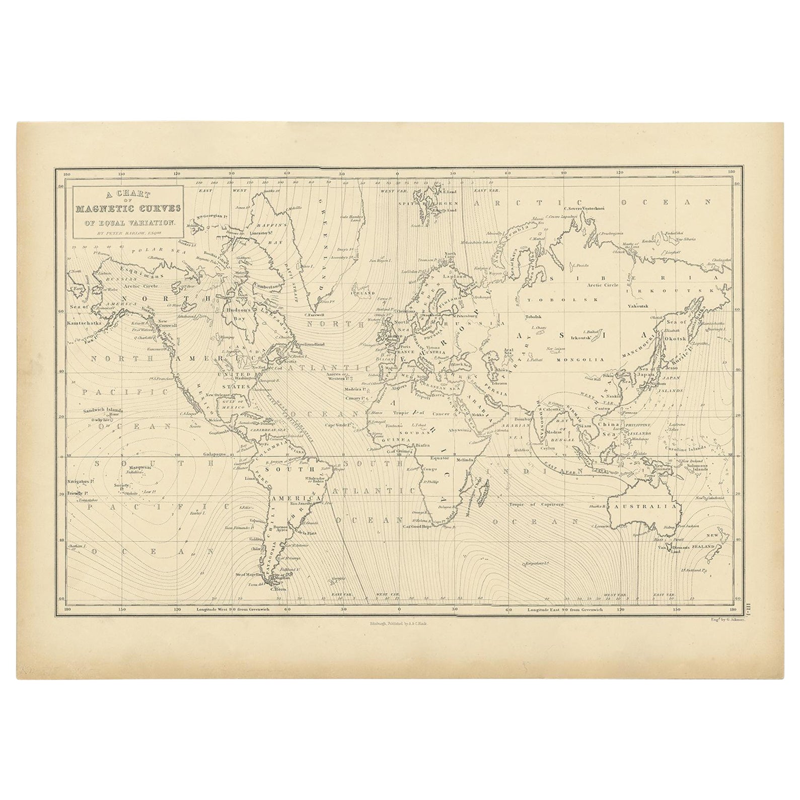
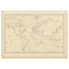
Antique map titled 'A Chart of Magnetic Curves of Equal Variation'. Chart with isomagnetic lines on continents, except for North America. This map orginates from 'General Atlas Of Th...
Category
Antique 19th Century Prints
Materials
Paper
$126 Sale Price
20% Off
Antique Hemisphere Map of the World 'Two on One Sheet' by Levasseur, '1875'
Located in Langweer, NL
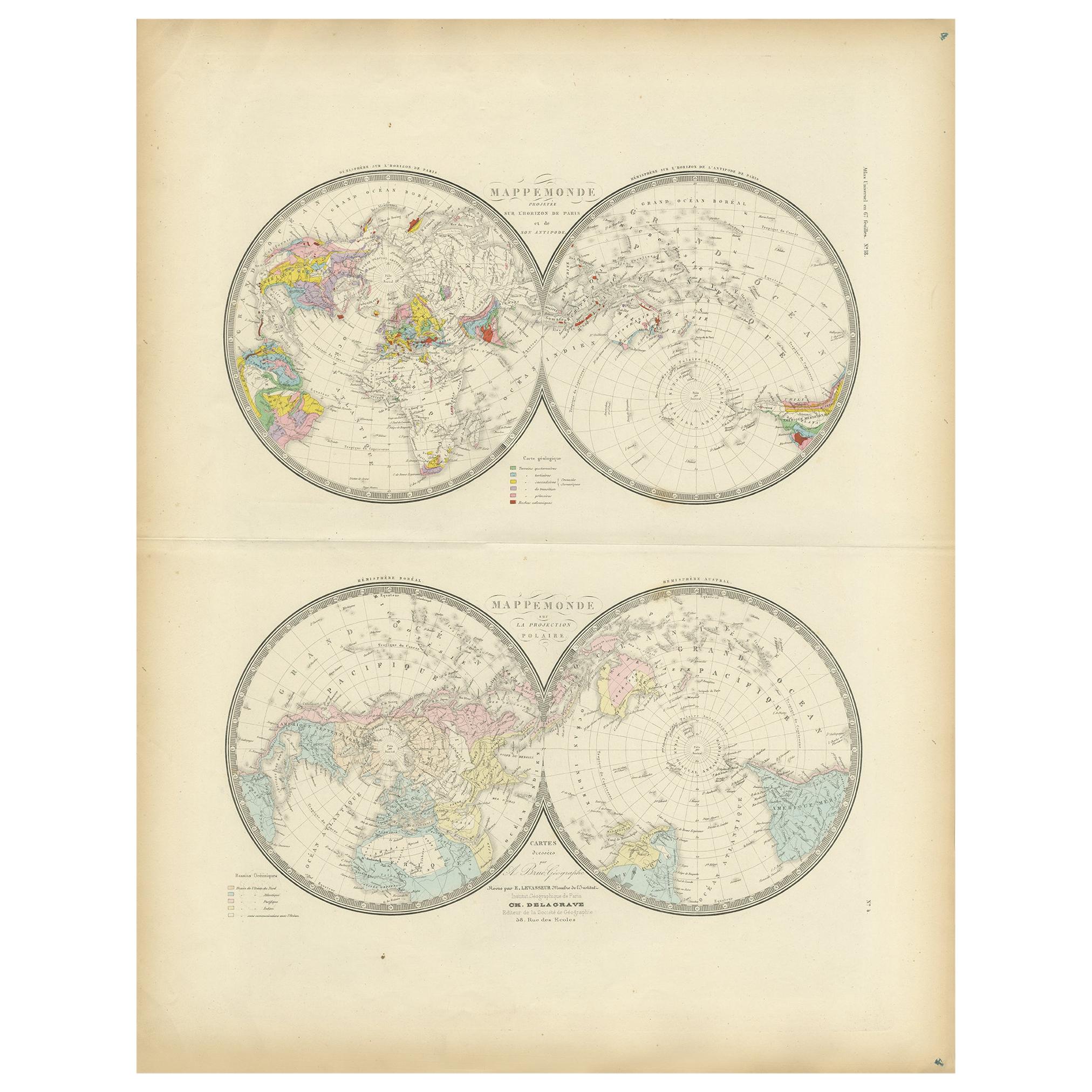
Antique map titled 'Mappemonde projetée sur l'Horizon de Paris et de son Antipode - Mappemonde sur la projection polaire'. Large map with two hemisphere world maps...
Category
Antique Late 19th Century Maps
Materials
Paper

$327 Sale Price
44% Off
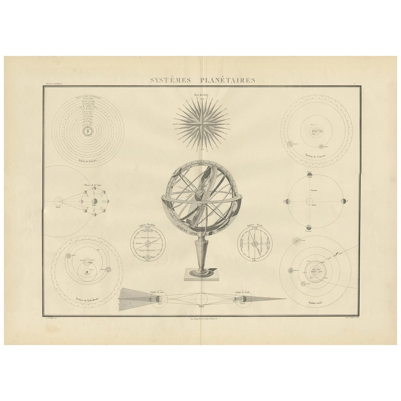
Systèmes Planétaires Antique Print, Celestial Models Chart, 1842
Located in Langweer, NL
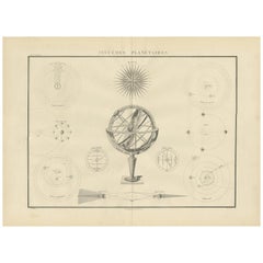
Antique print titled 'Systèmes Planétaires'. Chart of various celestial and scientific models. Includes an armillary sphere and various models of the universe, the season, eclipses, a Copernican, Tycho...
Category
Antique Mid-19th Century French Prints
Materials
Paper
$667 Sale Price
30% Off
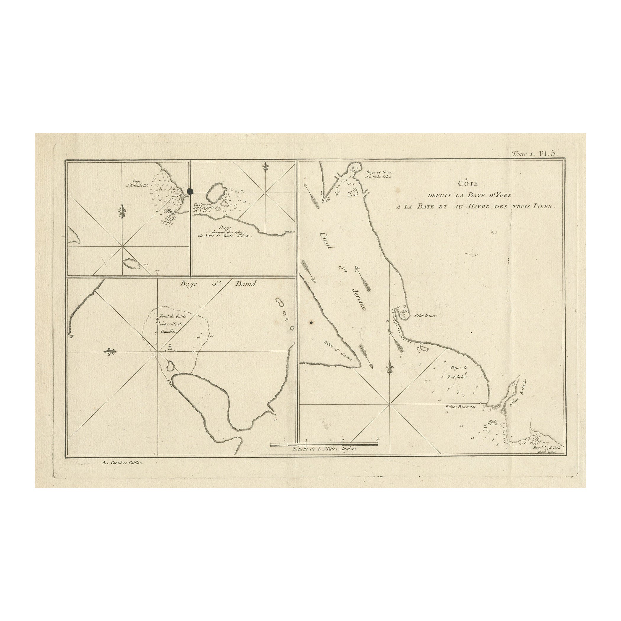
Antique Print with Charts of York's Bay and Surroundings
Located in Langweer, NL
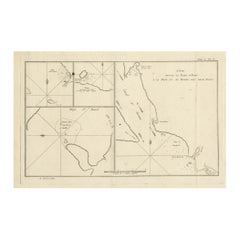
Antique map titled 'Côte depuis la Baye d'York (..)'. Charts of York's Bay, Haven of the Three Islands, St. David's Bay, and Elizabeth's Bay.
Published in an edition of John Hawk...
Category
Antique Late 18th Century Maps
Materials
Paper
$419 Sale Price
20% Off
You May Also Like
Original Antique Astronomy Print. C.1900
Located in St Annes, Lancashire
Great image of the solar system
Unframed.
Chromo-lithograph
Published, C.1900
The measurement is the paper size of the print
Free shipping.
Category
Antique Early 1900s English Folk Art Prints
Materials
Paper
1850 Old French Map Depicting the Entire Earth's Surface Divided into Two Parts
Located in Milan, IT
Geographical map depicting the entire earth’s surface divided into two parts that correspond to the two hemispheres or globes, the map deals with the latitudes and longitudes, the me...
Category
Antique Mid-19th Century French Maps
Materials
Glass, Wood, Paper

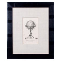
Cary Celestial Globe Antique Print
Located in Savannah, GA
Cary Celestial Globe Antique Print
Offered is a framed antique copperplate engraving entitled “The Improved Celestial Globe as made by Cary”.
Sight 5 ½ by 8 ½ inches
Frame 13...
Category
Antique 19th Century English Prints
Materials
Glass, Wood, Paper
Large Original Vintage Astronomy Poster, circa 1920
Located in St Annes, Lancashire
Great poster of the heavens.
Original color. Good condition.
Published by Alexander Gross
Unframed.
Category
Vintage 1920s English Posters
Materials
Paper
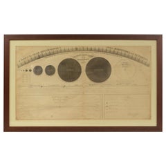
1855 Astronomical Plate of Distance of the Planets by FJ Huntington New York
Located in Milan, IT
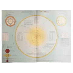
Plate of the distance of the planets “Entered according to Act of Congress in the year 1855 by F.J. Huntington in the Clerk's Office of the District Court of the United States for th...
Category
Antique 1850s American Scientific Instruments
Materials
Glass, Wood, Paper
Original Antique Map of The Eastern Hemisphere by Dower, circa 1835
Located in St Annes, Lancashire
Nice map of the Eastern Hemisphere
Drawn and engraved by J.Dower
Published by Orr & Smith. C.1835
Unframed.
Free shipping
Category
Antique 1830s English Maps
Materials
Paper

More Ways To Browse
Dino Martens On Sale
Drexel Heritage French
Dutch Pewter
Ebonised Commode
Edward Vi
Edwardian Library
Embroidered Silk Screen
Faroe Islands
Florentine Chest
Folk Metal Horse
Frank Stone
French Enamel Carriage Clocks
George Iii Bedside
German Pointer
Glass Canoe
Glass Dome Clock
Glass Polar Bear
Green And White Bowl Terracotta