Antique Cartography

to
129
2,497
96

Use search to find more

1,341
1,117
756
461
362
301
189
187
161
159
159
137
137
129
122
83
59
48
43
41
38
35
33
31
30
29
29
24
23
21
21
19
18
18
16
15
12
11
10
10
10
9
9
8
8
8
7
5
5
2
70
31
21
20
14

Use search to find more

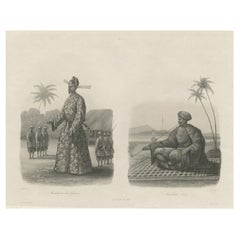
Antique Print of Vietnamese Men, c.1830

Antique Print of Vietnamese Men, c.1830

Located in Langweer, NL

Image size: 32 x 18 cm. Whilst cartography holds a special place in our collection, we also offer thousands of antique prints covering fields of interest as diverse as architectur...

Category

19th Century Antique Cartography

Materials

Paper

Antique Print of the 'Nieuwe Stadsherberg' by Dapper, c.1663

Antique Print of the 'Nieuwe Stadsherberg' by Dapper, c.1663

By D. Olfert Dapper

Located in Langweer, NL

Image size: 30 x 19 cm. Whilst cartography holds a special place in our collection, we also offer thousands of antique prints covering fields of interest as diverse as architecture,...

Category

17th Century Antique Cartography

Materials

Paper

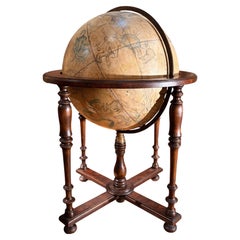
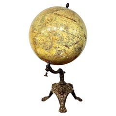
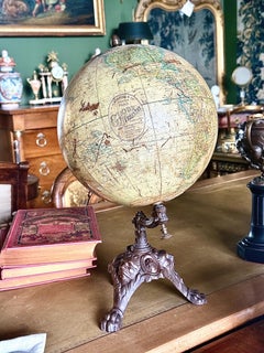
19th Century French Terrestrial Globe by J. Lebègue & Cie, Paris

19th Century French Terrestrial Globe by J. Lebègue & Cie, Paris

By J. Lebegue & Cie

Located in LA CIOTAT, FR

A striking antique object for a library, study or collector’s interior, combining late 19th-century French cartography with an unusually ornate architectural base.

Category

19th Century French Napoleon III Antique Cartography

Materials

Cast Iron

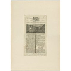
Antique Print of the Parade Hall and Bed of Anna Van Hannover, 1759

Antique Print of the Parade Hall and Bed of Anna Van Hannover, 1759

Located in Langweer, NL

Date: 1759 Overall size: 42.5 x 60 cm. Whilst cartography holds a special place in our collection, we also offer thousands of antique prints covering fields of interest as divers...

Category

18th Century Antique Cartography

Materials

Paper

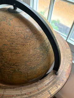
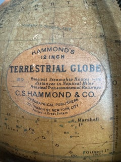
C.S. Hammond & Co. Terrestrial Floor Globe on Cast Iron Stand, circa 1925

C.S. Hammond & Co. Terrestrial Floor Globe on Cast Iron Stand, circa 1925

Located in New York, NY

The original cartouche in the North Pacific notes that the globe shows principal steamship routes, with distances in nautical miles, and principal transcontinental railways. The cart...

Category

1920s Antique Cartography

Materials

Iron

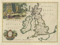
Ancient British Isles & Early Bishoprics Map, François Halma, 1704

Ancient British Isles & Early Bishoprics Map, François Halma, 1704

Located in Langweer, NL

Classical figures, architectural ruins, vegetation and an ancient coin create an elaborate historical setting, transforming the map into both a cartographic and decorative work. A s...

Category

Early 18th Century Dutch Baroque Antique Cartography

Materials

Paper

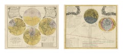
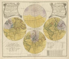
Solar and Lunar Eclipse Maps, Homann Heirs, Hand Colored Pair, 1748

Solar and Lunar Eclipse Maps, Homann Heirs, Hand Colored Pair, 1748

Located in Langweer, NL

Hung side by side they make an exceptional statement in a library, a boardroom or an observatory, and their scale is their strength: at this size they carry a large wall between them...

Category

Mid-18th Century German Antique Cartography

Materials

Paper

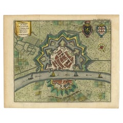
Antique Plan of the City of Grave, Holland - Coats of Arms & Compass Rose, 1750

Antique Plan of the City of Grave, Holland - Coats of Arms & Compass Rose, 1750

By Isaak Tirion

Located in Langweer, NL

In his long career he produced eight atlases in multiple editions, some of which were published posthumously until about 1784. Most of his cartographic work is based on the earlier m...

Category

18th Century Dutch Antique Cartography

Materials

Paper

Old Print of the Spinning House in Batavia, Nowadays Jakarta, Indonesia, 1682

Old Print of the Spinning House in Batavia, Nowadays Jakarta, Indonesia, 1682

By Johannes Nieuhof

Located in Langweer, NL

Image size: 36 x 29.5 cm. Whilst cartography holds a special place in our collection, we also offer thousands of antique prints covering fields of interest as diverse as architect...

Category

17th Century Dutch Antique Cartography

Materials

Paper

Antique Print of the Fish Market in Leeuwarden, The Netherlands, c.1790

Antique Print of the Fish Market in Leeuwarden, The Netherlands, c.1790

Located in Langweer, NL

Date: c.1790 Overall size: 37 x 32 cm. Whilst cartography holds a special place in our collection, we also offer thousands of antique prints covering fields of interest as diverse a...

Category

18th Century Antique Cartography

Materials

Paper

Antique Engraving of the Village of Winsum, The Netherlands, c.1790

Antique Engraving of the Village of Winsum, The Netherlands, c.1790

Located in Langweer, NL

Date: c.1790 Overall size: 34.5 x 29.5 cm. Whilst cartography holds a special place in our collection, we also offer thousands of antique prints covering fields of interest as diver...

Category

18th Century Antique Cartography

Materials

Paper

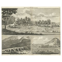
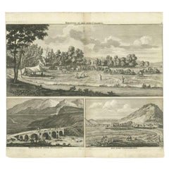
Rare Antique Engraving with Three Unique Views of Iran, 1711

Rare Antique Engraving with Three Unique Views of Iran, 1711

Located in Langweer, NL

Date: 1711 Whilst cartography holds a special place in our collection, we also offer thousands of antique prints covering fields of interest as diverse as architecture, natural hist...

Category

18th Century Antique Cartography

Materials

Paper

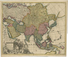
Decorative Antique Map of Asia and the East Indies, circa 1720

Decorative Antique Map of Asia and the East Indies, circa 1720

Located in Langweer, NL

An especially attractive example of Dutch Golden Age cartography and a desirable map for collectors of Asia, China, Japan, Southeast Asia, Indonesia and early European cartography of...

Category

1720s Dutch Baroque Antique Cartography

Materials

Paper

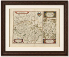
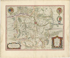
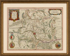
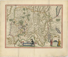
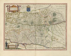
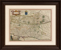
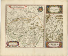
Antique Blaeu Map of Limousin and Limagne, France, circa 1642

Antique Blaeu Map of Limousin and Limagne, France, circa 1642

Located in Langweer, NL

Keywords: Willem Blaeu, Joan Blaeu, Blaeu atlas map, antique map of France, Limousin map, Limoges map, Limagne map, Auvergne map, Clermont-Ferrand map, Jean du Fayen, Gabriele Simeon...

Category

Mid-17th Century Dutch Antique Cartography

Materials

Paper

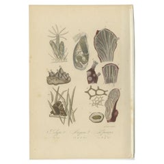
Decorative Antique Print of Various Sponges, Polypes and Other Sealife, 1854

Decorative Antique Print of Various Sponges, Polypes and Other Sealife, 1854

Located in Langweer, NL

Image size: 13.5 x 20 cm. Whilst cartography holds a special place in our collection, we also offer thousands of antique prints covering fields of interest as diverse as architect...

Category

19th Century Antique Cartography

Materials

Paper

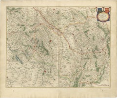
Antique Blaeu Map of Reims & Rethel Champagne France, c. 1642

Antique Blaeu Map of Reims & Rethel Champagne France, c. 1642

Located in Langweer, NL

Its subtle original coloring and refined cartographic detail make it especially suitable for French country interiors, wine libraries, classic studies, or elegant hospitality spaces.

Category

Mid-17th Century Dutch Antique Cartography

Materials

Paper

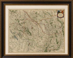
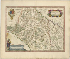
Antique Blaeu Map of Gâtinais & Sénonais France, c. 1642 Hand Color

Antique Blaeu Map of Gâtinais & Sénonais France, c. 1642 Hand Color

Located in Langweer, NL

Keywords: Gâtinois, Sénonois, Sens, Montargis, Nemours, Orléans, Auxerre, Seine River, Loire Valley, Bourgogne, Burgundy, Chablis, Sancerre, Puisaye, Corbeil, Melun, French provinces...

Category

Mid-17th Century Dutch Antique Cartography

Materials

Paper

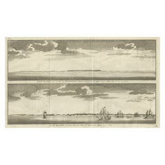
Antique Print with Views of Cape Blanco on the Patagonia / Argentina Coast, 1749

Antique Print with Views of Cape Blanco on the Patagonia / Argentina Coast, 1749

Located in Langweer, NL

Image size: 36 x 20.5 cm. Whilst cartography holds a special place in our collection, we also offer thousands of antique prints covering fields of interest as diverse as architect...

Category

18th Century Antique Cartography

Materials

Paper

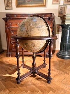
19th-Century Antique Italian Celestial Globe on Turned Wood Floor Stand

19th-Century Antique Italian Celestial Globe on Turned Wood Floor Stand

Located in Firenze, IT

Originating from the scientific traditions of ancient Greece and elevated by the 17th-century cartographic workshops of Flanders, this 1800s Italian interpretation perfectly embodies...

Category

19th Century Italian Grand Tour Antique Cartography

Materials

Iron

Antique Print of Windsor Castle in England, 1783

Antique Print of Windsor Castle in England, 1783

Located in Langweer, NL

Image size: 57.5 x 43 cm. Whilst cartography holds a special place in our collection, we also offer thousands of antique prints covering fields of interest as diverse as architect...

Category

18th Century British Antique Cartography

Materials

Paper

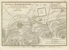
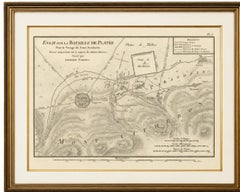
Battle of Plataea Ancient Greece Military Map by Ambroise Tardieu, 1825

Battle of Plataea Ancient Greece Military Map by Ambroise Tardieu, 1825

Located in Langweer, NL

Keywords: Ancient Greece, Battle of Plataea, Plataea Map, Greek Persian Wars, Greco-Persian Wars, Persian Wars, Mardonius, Boeotia, Thebes, Mount Cithaeron, Asopus River, Military Ma...

Category

1820s French Antique Cartography

Materials

Paper

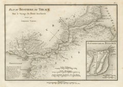
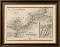
Ancient Bosphorus and Byzantium Map by Ambroise Tardieu, 1825

Ancient Bosphorus and Byzantium Map by Ambroise Tardieu, 1825

Located in Langweer, NL

The map is an attractive combination of classical geography and early 19th-century cartography and is particularly appealing for collectors interested in Istanbul, Constantinople, th...

Category

1820s French Antique Cartography

Materials

Paper

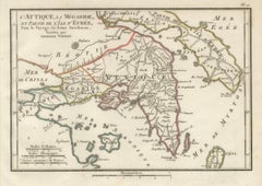
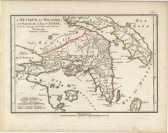
Ancient Attica, Megara and Euboea Map by Ambroise Tardieu, 1825

Ancient Attica, Megara and Euboea Map by Ambroise Tardieu, 1825

Located in Langweer, NL

Keywords: Attica Map, Athens Map, Ancient Athens, Megara Map, Euboea Map, Ancient Greece, Greek Islands, Marathon, Eleusis, Thebes, Plataea, Corinth, Salamis, Aegina, Cape Sounion, B...

Category

1820s French Antique Cartography

Materials

Paper

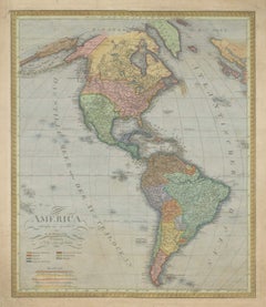
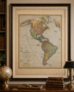
Large Antique Map of North & South America by Weiland, 1826

Large Antique Map of North & South America by Weiland, 1826

Located in Langweer, NL

With its substantial dimensions of 73 × 59 cm, attractive historical coloring and broad geographical coverage, this is an impressive example of early 19th-century German cartography....

Category

Early 19th Century Austrian Neoclassical Antique Cartography

Materials

Paper

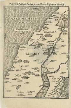
Rare 16th Century Holy Land Woodcut Map by Heinrich Bünting, circa 1581

Rare 16th Century Holy Land Woodcut Map by Heinrich Bünting, circa 1581

Located in Langweer, NL

Original Bünting maps are increasingly sought after for their combination of early cartographic history, biblical significance, and decorative appeal.

Category

16th Century German Antique Cartography

Materials

Paper

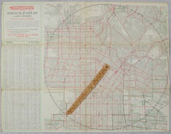
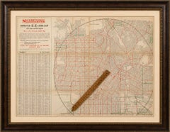
Antique E-Z Guide Map of Los Angeles with Rotating Locator, 1927

Antique E-Z Guide Map of Los Angeles with Rotating Locator, 1927

Located in Langweer, NL

STYLE Art Deco / American Commercial Cartography / Early Motoring & Travel SUBJECT Los Angeles, California; Hollywood; Glendale; urban development; street mapping; automobiles; ba...

Category

Early 20th Century American Art Deco Antique Cartography

Materials

Paper

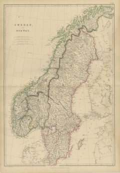
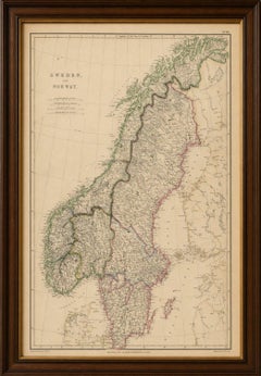
Antique Map of Sweden and Norway, Original Hand-Colored Copper Engraving, 1860

Antique Map of Sweden and Norway, Original Hand-Colored Copper Engraving, 1860

Located in Langweer, NL

Petersburg, Nordic Countries, Northern Europe, Antique Map, Scandinavian History, Victorian Cartography, Hand-Colored Map, Copperplate Engraving.

Category

Mid-19th Century British Antique Cartography

Materials

Paper

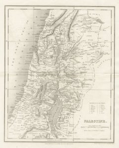
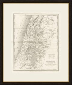
Antique Map of Palestine with the Twelve Tribes by Dower, circa 1835

Antique Map of Palestine with the Twelve Tribes by Dower, circa 1835

Located in Langweer, NL

Engraved on steel, they combine clear lettering with fine hachured relief and remain popular with collectors of Victorian cartography. This example is uncoloured. With its combinati...

Category

Mid-19th Century British Georgian Antique Cartography

Materials

Paper

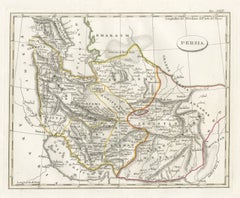
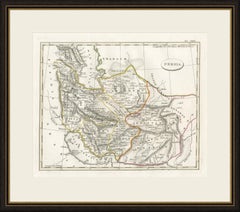
Antique Italian Map of Persia with Khorasan and the Persian Gulf, circa 1820

Antique Italian Map of Persia with Khorasan and the Persian Gulf, circa 1820

Located in Langweer, NL

It is a pleasing map of Iran for a collector of Persian or Middle Eastern cartography and frames well in a study or reading room.

Category

Early 19th Century Italian Antique Cartography

Materials

Paper

Metz, Lorraine & Verdun Antique Blaeu Atlas Map, France, 1642

Metz, Lorraine & Verdun Antique Blaeu Atlas Map, France, 1642

Located in Langweer, NL

Although published by Blaeu, the map ultimately derives from the influential Mercator-Hondius cartographic tradition that formed the foundation of many of the finest Dutch atlases of...

Category

Mid-17th Century Dutch Antique Cartography

Materials

Paper

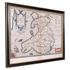
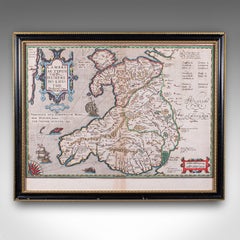
Antique Map of Wales, Belgian, Framed Atlas Excerpt, Elizabethan, Humphrey Llwyd

Antique Map of Wales, Belgian, Framed Atlas Excerpt, Elizabethan, Humphrey Llwyd

Located in Hele, Devon, GB

A superb, historic map of the Renaissance period, ready to display Presents a desirable aged patina, in good original order Tasteful later frame with an ebonised and gilt finish Atla...

Category

16th Century Belgian Renaissance Antique Cartography

Materials

Glass, Paper

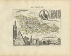
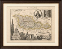
Antique Decorative Map of Moselle, France by Vuillemin, circa 1850

Antique Decorative Map of Moselle, France by Vuillemin, circa 1850

Located in Langweer, NL

An attractive and historically important map for collectors of French cartography, Lorraine history, Napoleonic history and decorative nineteenth-century engravings.

Category

Mid-19th Century French Antique Cartography

Materials

Paper

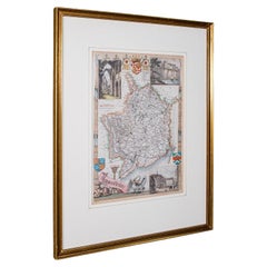
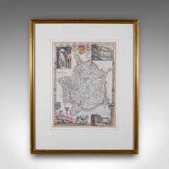
Antique County Map, Monmouthshire, English Framed Print, Thomas Moule, Victorian

Antique County Map, Monmouthshire, English Framed Print, Thomas Moule, Victorian

Located in Hele, Devon, GB

Late Victorian reproduction of the Moule original, showing the Welsh county Displays a desirable aged patina and in good order throughout Presented behind clear, bright glass with a ...

Category

Early 1900s British Late Victorian Antique Cartography

Materials

Glass, Paper

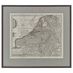
18th Century Dutch Map of the Seventeen Provinces by Isaak Tirion, circa 1750

18th Century Dutch Map of the Seventeen Provinces by Isaak Tirion, circa 1750

Located in Oud Beijerland, NL

Executed in delicate copperplate engraving, the work features extensive topographical detail, period typography, coastal shading, and decorative cartographic elements characteristic ...

Category

1750s Dutch Louis XV Antique Cartography

Materials

Glass, Wood, Paper

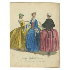
Antique Hand-Colored Engraving of three Ladies from England, 1805

Antique Hand-Colored Engraving of three Ladies from England, 1805

Located in Langweer, NL

Image size: 18 x 16 cm. Whilst cartography holds a special place in our collection, we also offer thousands of antique prints covering fields of interest as diverse as architectur...

Category

19th Century Antique Cartography

Materials

Paper

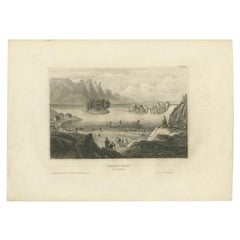
Antique Print of Trollhättan Falls in Sweden, 1839

Antique Print of Trollhättan Falls in Sweden, 1839

Located in Langweer, NL

Image size: 15 x 10 cm Whilst cartography holds a special place in our collection, we also offer thousands of antique prints covering fields of interest as diverse as architecture, ...

Category

19th Century Antique Cartography

Materials

Paper

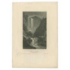
Antique Print of the Waterfall of Velino in Italy, 1837

Antique Print of the Waterfall of Velino in Italy, 1837

Located in Langweer, NL

Image size: 10 x 15.5 cm. Whilst cartography holds a special place in our collection, we also offer thousands of antique prints covering fields of interest as diverse as architectur...

Category

19th Century Antique Cartography

Materials

Paper
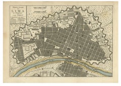
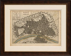
Antique Map of Lima Peru by Isaak Tirion – City Plan with Fortifications, 1769

Antique Map of Lima Peru by Isaak Tirion – City Plan with Fortifications, 1769

Located in Langweer, NL

Keywords: Lima, Peru, antique map, original antique map, city plan, town plan, Isaak Tirion, Amsterdam, Dutch cartography, South America, colonial Peru, Spanish Empire, Rímac River, ...

Category

Mid-18th Century British Antique Cartography

Materials

Paper
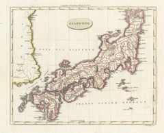
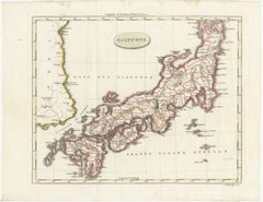
Antique Map of Japan & Coast of Korea named “Giappone” by Barbiellini, 1807

Antique Map of Japan & Coast of Korea named “Giappone” by Barbiellini, 1807

Located in Langweer, NL

Keywords: Japan map, Giappone, Carlo Antonio Barbiellini, Milan map, Italian cartography, antique Japan map, Edo Japan, East Asia map, Korea coastline, Nippon, Japanese provinces, hi...

Category

Early 19th Century Italian Antique Cartography

Materials

Paper

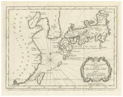
Antique Map of Japan, Korea & the Chinese Coast by Bellin, circa 1755

Antique Map of Japan, Korea & the Chinese Coast by Bellin, circa 1755

Located in Langweer, NL

Keywords: Japan map, Giappone, Carlo Antonio Barbiellini, Milan map, Italian cartography, antique Japan map, Edo Japan, East Asia map, Korea coastline, Nippon, Japanese provinces, hi...

Category

Mid-18th Century Italian Antique Cartography

Materials

Paper
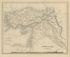
Antique Map of Turkey in Asia with Tableland Profile by Dower, circa 1845

Antique Map of Turkey in Asia with Tableland Profile by Dower, circa 1845

Located in Langweer, NL

Engraved on steel, they combine clear lettering with fine hachured relief and remain popular with collectors of Victorian cartography. This sheet is otherwise uncoloured, which shows...

Category

Mid-19th Century British Victorian Antique Cartography

Materials

Paper
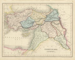
Antique Map of Turkey in Asia by Dower, Anatolia, Syria and Iraq, circa 1845

Antique Map of Turkey in Asia by Dower, Anatolia, Syria and Iraq, circa 1845

Located in Langweer, NL

Engraved on steel, they combine clear lettering with fine hachured relief and remain popular with collectors of Victorian cartography. The full wash and outline colour on this sheet ...

Category

Mid-19th Century British Victorian Antique Cartography

Materials

Paper
Antique Blaeu Map of Bresse & Dombes, Eastern France – Hand-Colored, c.1642

Antique Blaeu Map of Bresse & Dombes, Eastern France – Hand-Colored, c.1642

Located in Langweer, NL

Following his death, the Blaeu firm continued under his sons and became the leading cartographic publisher of Europe. Maps from the Blaeu atlases remain among the most desirable exam...

Category

Mid-17th Century Dutch Antique Cartography

Materials

Paper
Antique Print of Various Island in French Polynesia, circa 1774

Antique Print of Various Island in French Polynesia, circa 1774

Located in Langweer, NL

Image Size: 15 x 21.5 cm Whilst cartography holds a special place in our collection, we also offer thousands of antique prints covering fields of interest as diverse as architectu...

Category

18th Century French Antique Cartography

Materials

Paper
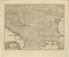
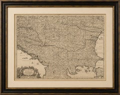
Large Map of the Habsburg–Ottoman War, Hungary & Balkans, 1729

Large Map of the Habsburg–Ottoman War, Hungary & Balkans, 1729

Located in Langweer, NL

KEYWORDS: Gerrit van Schagen, Hungary map, antique Hungary map, Ottoman Empire map, Habsburg Empire, Habsburg Ottoman War, Turkish Wars, Great Turkish War, Prince Eugene of Savoy, Ba...

Category

Early 18th Century Dutch Baroque Antique Cartography

Materials

Paper
Antique Blaeu Map of Berry, Bourges and Sancerre, France, 1642

Antique Blaeu Map of Berry, Bourges and Sancerre, France, 1642

Located in Langweer, NL

Keywords: Willem Janszoon Blaeu, Willem Blaeu, antique map of France, Berry map, Duchy of Berry, Bourges map, Sancerre map, Châteauroux map, Issoudun map, French wine region, Sancerr...

Category

Mid-17th Century Dutch Antique Cartography

Materials

Paper
Antique Blaeu Map of Lyonnais, Forez, Beaujolais & Mâconnais, 1642

Antique Blaeu Map of Lyonnais, Forez, Beaujolais & Mâconnais, 1642

Located in Langweer, NL

This map would make an impressive addition to a collection of French regional cartography, Dutch Golden Age maps or seventeenth-century engravings.

Category

Mid-17th Century Dutch Antique Cartography

Materials

Paper
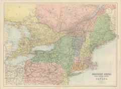
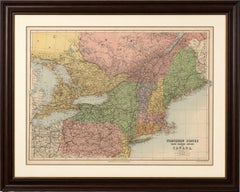
Antique Map of Northern United States and Canada by Bartholomew, circa 1882

Antique Map of Northern United States and Canada by Bartholomew, circa 1882

Located in Langweer, NL

Keywords: Antique Canada map, Northern States map, John Bartholomew map, J Bartholomew Edinburgh, A and C Black, 1882 map, New York antique map, New England map, Ontario map, Quebec ...

Category

1880s British Antique Cartography

Materials

Paper
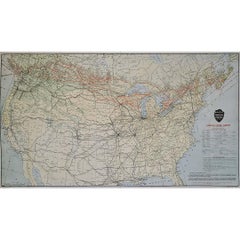
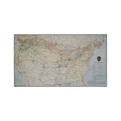
Original 1922 Canadian Pacific Railway North America Route Map Poster

Original 1922 Canadian Pacific Railway North America Route Map Poster

Located in PARIS, FR

Combining historical significance, cartographic beauty and the romance of the railway age, this 1922 Canadian Pacific Railway map poster stands as a fascinating testament to one of t...

Category

1920s Antique Cartography

Materials

Paper, Lithograph

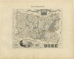
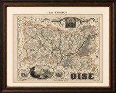
Antique Decorative Map of Oise, France by Vuillemin, circa 1850

Antique Decorative Map of Oise, France by Vuillemin, circa 1850

Located in Langweer, NL

An attractive map for collectors of French cartography, Picardy history, château architecture and nineteenth-century decorative engravings.

Category

Mid-19th Century French Antique Cartography

Materials

Paper

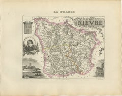
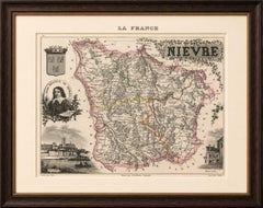
Antique Decorative Map of Nièvre, France by Vuillemin, circa 1850

Antique Decorative Map of Nièvre, France by Vuillemin, circa 1850

Located in Langweer, NL

An appealing map for collectors of French cartography, Burgundy history, Loire Valley wines, Nevers decorative arts and nineteenth-century engravings.

Category

Mid-19th Century French Antique Cartography

Materials

Paper

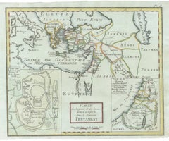
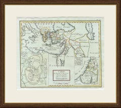
Antique New Testament Map with Plan of Jerusalem after Bonne, circa 1770

Antique New Testament Map with Plan of Jerusalem after Bonne, circa 1770

Located in Langweer, NL

With its Jerusalem plan and its map of Herodian Judaea, this is a rewarding sheet for collectors of Holy Land and biblical cartography, and it would make a meaningful framed gift or ...

Category

Mid-18th Century French Antique Cartography

Materials

Paper

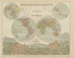
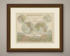
Antique Map of the World in Two Hemispheres, with Rivers and Mountains, 1870

Antique Map of the World in Two Hemispheres, with Rivers and Mountains, 1870

Located in Langweer, NL

Sheets from this atlas are sought after today both as reference cartography and as decorative material, the generous folio format suiting a wall quite as readily as a portfolio.

Category

Late 19th Century British Victorian Antique Cartography

Materials

Paper

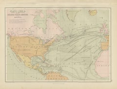
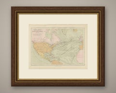
Antique Chart of the Atlantic Ocean, Europe to North America Route, 1870

Antique Chart of the Atlantic Ocean, Europe to North America Route, 1870

Located in Langweer, NL

Sheets from this atlas are sought after today both as reference cartography and as decorative material, the generous folio format suiting a wall quite as readily as a portfolio.

Category

Late 19th Century British Victorian Antique Cartography

Materials

Paper

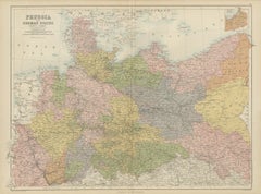
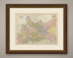
Antique Map of Prussia and the German States, North Sheet, Bartholomew, 1870

Antique Map of Prussia and the German States, North Sheet, Bartholomew, 1870

Located in Langweer, NL

Sheets from this atlas are sought after today both as reference cartography and as decorative material, the generous folio format suiting a wall quite as readily as a portfolio.

Category

Late 19th Century British Victorian Antique Cartography

Materials

Paper

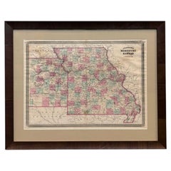
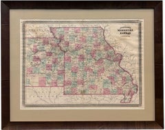
1870 "Johnson's Missouri and Kansas" Map, Published by A. J. Johnson

1870 "Johnson's Missouri and Kansas" Map, Published by A. J. Johnson

Located in Colorado Springs, CO

Designed to be both educational and a decorative addition to a home library, it reflected the 19th-century fascination with detailed and ornate cartographic publications. In addition...

Category

1870s American American Empire Antique Cartography

Materials

Paper
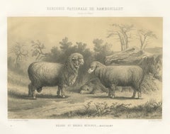
Mauchamp Merino Ram and Ewe, Rambouillet, Antique Sheep Print, 1873

Mauchamp Merino Ram and Ewe, Rambouillet, Antique Sheep Print, 1873

Located in Langweer, NL

The album gathered the statistical cartography, the model state farms, the breed portraits and the prize silver by which France meant to present its agriculture to the world.

Category

Late 19th Century French Antique Cartography

Materials

Paper
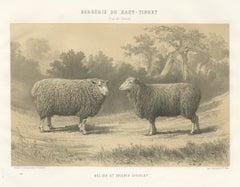
Dishley Ram and Ewe of Haut-Tingry, Antique French Sheep Print, 1873

Dishley Ram and Ewe of Haut-Tingry, Antique French Sheep Print, 1873

Located in Langweer, NL

The album gathered the statistical cartography, the model state farms, the breed portraits and the prize silver by which France meant to present its agriculture to the world.

Category

Late 19th Century French Antique Cartography

Materials

Paper
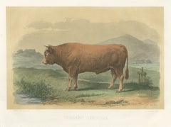
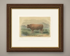
Limousin Bull, Antique French Cattle Print after Melin, 1873

Limousin Bull, Antique French Cattle Print after Melin, 1873

Located in Langweer, NL

The album gathered the statistical cartography, the model state farms, the breed portraits and the prize silver by which France meant to present its agriculture to the world.

Category

Late 19th Century French Antique Cartography

Materials

Paper
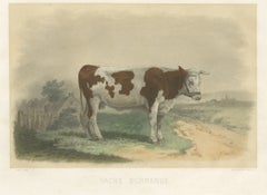
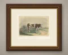
Norman Cow, Antique French Cattle Print after Melin, 1873

Norman Cow, Antique French Cattle Print after Melin, 1873

Located in Langweer, NL

The album gathered the statistical cartography, the model state farms, the breed portraits and the prize silver by which France meant to present its agriculture to the world.

Category

Late 19th Century French Antique Cartography

Materials

Paper
  • 1
  • ...
Get Updated with New Arrivals
Save "Antique Cartography", and we’ll notify you when there are new listings in this category.

Antique Cartography For Sale on 1stDibs

Find many varieties of an authentic antique cartography available at 1stDibs. An antique cartography — often made from paper, wood and metal — can elevate any home. You’ve searched high and low for the perfect antique cartography — we have versions that date back to the 18th Century alongside those produced as recently as the 20th Century are available. An antique cartography, designed in the Empire, Louis XVI or Art Nouveau style, is generally a popular piece of furniture. You’ll likely find more than one antique cartography that is appealing in its simplicity, but Jacques-Nicolas Bellin, Nicolas Sanson and Jakob van der Schley produced versions that are worth a look.

How Much is a Antique Cartography?

An antique cartography can differ in price owing to various characteristics — the average selling price 1stDibs is $253, while the lowest priced sells for $52 and the highest can go for as much as $238,935.