Antique Cartography

to
129
2,497
96

Use search to find more

1,341
1,117
756
461
362
301
189
187
161
159
159
137
137
129
122
83
59
48
43
41
38
35
33
31
30
29
29
24
23
21
21
19
18
18
16
15
12
11
10
10
10
9
9
8
8
8
7
5
5
2
70
31
21
20
14

Use search to find more

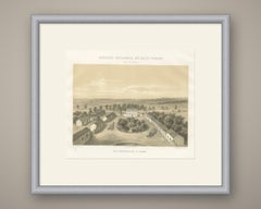
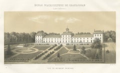
Grandjouan Agricultural School, Antique French School Print, 1873

Grandjouan Agricultural School, Antique French School Print, 1873

Located in Langweer, NL

The album gathered the statistical cartography, the model state farms, the breed portraits and the prize silver by which France meant to present its agriculture to the world.

Category

Late 19th Century French Antique Cartography

Materials

Paper
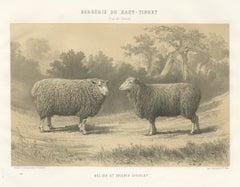
Dishley Ram and Ewe of Haut-Tingry, Antique French Sheep Print, 1873

Dishley Ram and Ewe of Haut-Tingry, Antique French Sheep Print, 1873

Located in Langweer, NL

The album gathered the statistical cartography, the model state farms, the breed portraits and the prize silver by which France meant to present its agriculture to the world.

Category

Late 19th Century French Antique Cartography

Materials

Paper
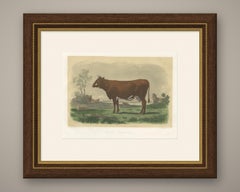
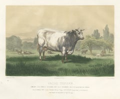
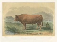
Limousin Bull, Antique French Cattle Print after Melin, 1873

Limousin Bull, Antique French Cattle Print after Melin, 1873

Located in Langweer, NL

The album gathered the statistical cartography, the model state farms, the breed portraits and the prize silver by which France meant to present its agriculture to the world.

Category

Late 19th Century French Antique Cartography

Materials

Paper
Rambouillet Merino Ram and Ewe of 1786, Antique Sheep Print, 1873

Rambouillet Merino Ram and Ewe of 1786, Antique Sheep Print, 1873

Located in Langweer, NL

The album gathered the statistical cartography, the model state farms, the breed portraits and the prize silver by which France meant to present its agriculture to the world.

Category

Late 19th Century French Antique Cartography

Materials

Paper
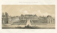
Grignon Agricultural School, Court of Honour, Antique Print, 1873

Grignon Agricultural School, Court of Honour, Antique Print, 1873

Located in Langweer, NL

The album gathered the statistical cartography, the model state farms, the breed portraits and the prize silver by which France meant to present its agriculture to the world.

Category

Late 19th Century French Antique Cartography

Materials

Paper
Corbon National Dairy Farm, Calvados, Antique Norman Print, 1873

Corbon National Dairy Farm, Calvados, Antique Norman Print, 1873

Located in Langweer, NL

The album gathered the statistical cartography, the model state farms, the breed portraits and the prize silver by which France meant to present its agriculture to the world.

Category

Late 19th Century French Antique Cartography

Materials

Paper
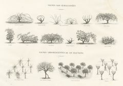
Cordon and Trellis Vines, Antique French Viticulture Print, 1873

Cordon and Trellis Vines, Antique French Viticulture Print, 1873

Located in Langweer, NL

The album gathered the statistical cartography, the model state farms, the breed portraits and the prize silver by which France meant to present its agriculture to the world.

Category

Late 19th Century French Antique Cartography

Materials

Paper
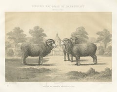
Rambouillet Merino Rams and Ewes of 1873, Antique Sheep Print

Rambouillet Merino Rams and Ewes of 1873, Antique Sheep Print

Located in Langweer, NL

The album gathered the statistical cartography, the model state farms, the breed portraits and the prize silver by which France meant to present its agriculture to the world.

Category

Late 19th Century French Antique Cartography

Materials

Paper
Garonnais Bull, Antique Cattle Print after Isidore Bonheur, 1873

Garonnais Bull, Antique Cattle Print after Isidore Bonheur, 1873

Located in Langweer, NL

The album gathered the statistical cartography, the model state farms, the breed portraits and the prize silver by which France meant to present its agriculture to the world.

Category

Late 19th Century French Antique Cartography

Materials

Paper
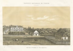
Comtois Bull, Antique French Cattle Breed Print, 1873

Comtois Bull, Antique French Cattle Breed Print, 1873

Located in Langweer, NL

The album gathered the statistical cartography, the model state farms, the breed portraits and the prize silver by which France meant to present its agriculture to the world.

Category

Late 19th Century French Antique Cartography

Materials

Paper
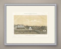
Staked Vines of the French Wine Regions, Antique Viticulture Print

Staked Vines of the French Wine Regions, Antique Viticulture Print

Located in Langweer, NL

The album gathered the statistical cartography, the model state farms, the breed portraits and the prize silver by which France meant to present its agriculture to the world.

Category

Late 19th Century French Antique Cartography

Materials

Paper
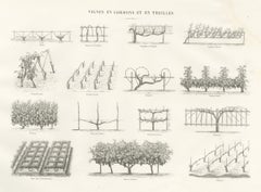
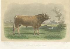
Parthenais Bull, Antique Cattle Print after Van Marcke, 1873

Parthenais Bull, Antique Cattle Print after Van Marcke, 1873

Located in Langweer, NL

The album gathered the statistical cartography, the model state farms, the breed portraits and the prize silver by which France meant to present its agriculture to the world.

Category

Late 19th Century French Antique Cartography

Materials

Paper
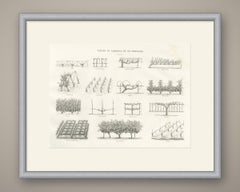
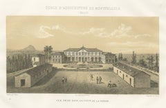
Montpellier Agricultural School Farm Court, Antique Print, 1873

Montpellier Agricultural School Farm Court, Antique Print, 1873

Located in Langweer, NL

The album gathered the statistical cartography, the model state farms, the breed portraits and the prize silver by which France meant to present its agriculture to the world.

Category

Late 19th Century French Antique Cartography

Materials

Paper
Alfort Veterinary School, Antique French Veterinary Print, 1873

Alfort Veterinary School, Antique French Veterinary Print, 1873

Located in Langweer, NL

The album gathered the statistical cartography, the model state farms, the breed portraits and the prize silver by which France meant to present its agriculture to the world.

Category

Late 19th Century French Antique Cartography

Materials

Paper
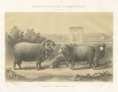
Rambouillet National Sheepfold, Main Court, Antique Print, 1873

Rambouillet National Sheepfold, Main Court, Antique Print, 1873

Located in Langweer, NL

The album gathered the statistical cartography, the model state farms, the breed portraits and the prize silver by which France meant to present its agriculture to the world.

Category

Late 19th Century French Antique Cartography

Materials

Paper
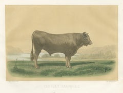
Breton Bull, Antique Cattle Print after Constant Troyon, 1873

Breton Bull, Antique Cattle Print after Constant Troyon, 1873

Located in Langweer, NL

The album gathered the statistical cartography, the model state farms, the breed portraits and the prize silver by which France meant to present its agriculture to the world.

Category

Late 19th Century French Antique Cartography

Materials

Paper
Charolais Cow, Antique French Cattle Print after Jadin, 1873

Charolais Cow, Antique French Cattle Print after Jadin, 1873

Located in Langweer, NL

The album gathered the statistical cartography, the model state farms, the breed portraits and the prize silver by which France meant to present its agriculture to the world.

Category

Late 19th Century French Antique Cartography

Materials

Paper
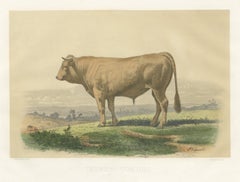
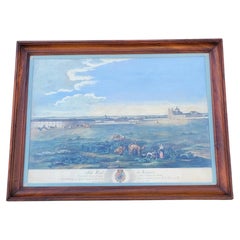
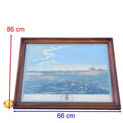
Large Hand-Colored Engraving of Sitio Real de Aranjuez, 19th century

Large Hand-Colored Engraving of Sitio Real de Aranjuez, 19th century

Located in MARSEILLE, FR

He collaborated with Aguirre on a monumental cartographic and topographic survey commissioned by the Spanish Crown.

Category

19th Century European Louis XVI Antique Cartography

Materials

Paper

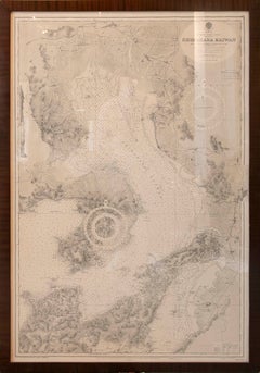
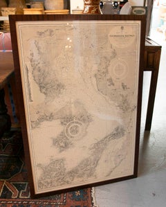
1930s Framed Antique Japanese Nautical Chart Shimabara Kaiwan

1930s Framed Antique Japanese Nautical Chart Shimabara Kaiwan

Located in Marbella, ES

Presented in an elegant dark wood frame, this piece combines cartographic value with decorative appeal, making it ideal for collectors of antique maps, classic interiors, libraries, ...

Category

Early 20th Century Japanese Antique Cartography

Materials

Paper

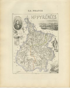
Antique Map of Hautes-Pyrénées, France by Vuillemin, circa 1850

Antique Map of Hautes-Pyrénées, France by Vuillemin, circa 1850

Located in Langweer, NL

An attractive historical map for collectors of French cartography, Pyrenean landscapes, Napoleonic history, pilgrimage destinations and nineteenth-century decorative engravings.

Category

Mid-19th Century French Antique Cartography

Materials

Paper

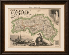
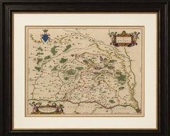
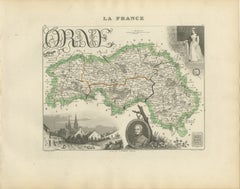
Antique Decorative Map of Orne, Normandy by Vuillemin, circa 1850

Antique Decorative Map of Orne, Normandy by Vuillemin, circa 1850

Located in Langweer, NL

An attractive historical map for collectors of French cartography, Normandy, the French Revolution, Napoleonic history, equestrian culture and nineteenth-century decorative engraving...

Category

Mid-19th Century French Antique Cartography

Materials

Paper

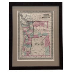
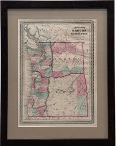
1870 "Johnson's Oregon and Washington" Map, Published by A. J. Johnson

1870 "Johnson's Oregon and Washington" Map, Published by A. J. Johnson

Located in Colorado Springs, CO

Designed to be both educational and a decorative addition to a home library, it reflected the 19th-century fascination with detailed and ornate cartographic publications. In addition...

Category

1870s American American Empire Antique Cartography

Materials

Paper

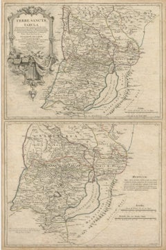
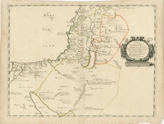
Antique Holy Land Map, Terrae Sanctae Tabula – Guillaume De L’Isle, 1782

Antique Holy Land Map, Terrae Sanctae Tabula – Guillaume De L’Isle, 1782

Located in Langweer, NL

Holy Land maps in particular remain enduringly desirable due to their intersection of cartography, theology, and cultural history, making this an appealing acquisition for collectors...

Category

Late 18th Century French Antique Cartography

Materials

Paper

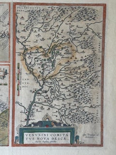
Abraham Ortelius Hand-Colored Atlas Map, Gallia Narbonensis, ca. 1600

Abraham Ortelius Hand-Colored Atlas Map, Gallia Narbonensis, ca. 1600

By Abraham Ortelius

Located in Hannover, DE

An outstanding collector’s piece and an important Renaissance cartographic work, equally suitable for an advanced map collection, a distinguished library, or an elegant interior.

Category

Early 1600s Dutch Renaissance Antique Cartography

Materials

Paint, Paper

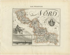
Antique Decorative Map of Nord, France by Vuillemin, circa 1850

Antique Decorative Map of Nord, France by Vuillemin, circa 1850

Located in Langweer, NL

An appealing historical map for collectors of French cartography, Flemish history, maritime subjects, Napoleonic-era culture and nineteenth-century decorative engravings.

Category

Mid-19th Century French Antique Cartography

Materials

Paper

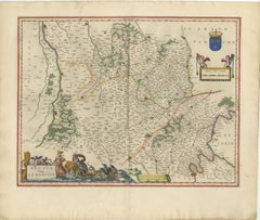
Antique Blaeu Map of Beauce & Perche France, c. 1642 Hand Color

Antique Blaeu Map of Beauce & Perche France, c. 1642 Hand Color

Located in Langweer, NL

These rich decorative elements elevate the map well beyond pure cartography into the realm of baroque decorative art.

Category

Mid-17th Century Dutch Antique Cartography

Materials

Paper

Antique Blaeu Map of Champagne France, Campania Comitatus, c. 1642

Antique Blaeu Map of Champagne France, Campania Comitatus, c. 1642

Located in Langweer, NL

This map is especially desirable not only to collectors of early French cartography, but also to buyers interested in wine history, Champagne culture, luxury interiors, and decorativ...

Category

Mid-17th Century Dutch Antique Cartography

Materials

Paper

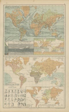
Antique Chart of the World, Winds, Currents and Races of Mankind, 1870

Antique Chart of the World, Winds, Currents and Races of Mankind, 1870

Located in Langweer, NL

Sheets from this atlas are sought after today both as reference cartography and as decorative material, the generous folio format suiting a wall quite as readily as a portfolio.

Category

Late 19th Century British Victorian Antique Cartography

Materials

Paper

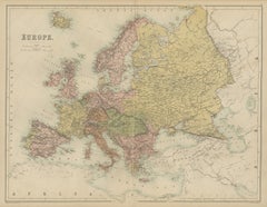
Antique Map of Europe, Black's General Atlas, Edinburgh, 1870

Antique Map of Europe, Black's General Atlas, Edinburgh, 1870

Located in Langweer, NL

Sheets from this atlas are sought after today both as reference cartography and as decorative material, the generous folio format suiting a wall quite as readily as a portfolio.

Category

Late 19th Century British Victorian Antique Cartography

Materials

Paper

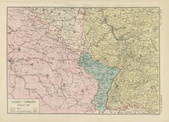
Antique Map of Alsace-Lorraine, Annexed to Germany, Bartholomew, circa 1871

Antique Map of Alsace-Lorraine, Annexed to Germany, Bartholomew, circa 1871

Located in Langweer, NL

Sheets from this atlas are sought after today both as reference cartography and as decorative material, the generous folio format suiting a wall quite as readily as a portfolio.

Category

Late 19th Century British Victorian Antique Cartography

Materials

Paper

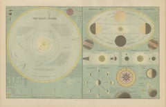
Antique Solar System Chart with the Seasons and Phases of the Moon, 1870

Antique Solar System Chart with the Seasons and Phases of the Moon, 1870

Located in Langweer, NL

Sheets from this atlas are sought after today both as reference cartography and as decorative material, the generous folio format suiting a wall quite as readily as a portfolio.

Category

Late 19th Century British Victorian Antique Cartography

Materials

Paper

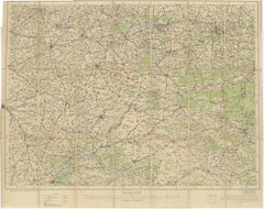
1914 WWI British War Office Map of Arras, Amiens and Reims, Edward Stanford

1914 WWI British War Office Map of Arras, Amiens and Reims, Edward Stanford

Located in Langweer, NL

Unlike decorative atlas maps intended for domestic display, this example belongs to a tradition of functional cartography created to support real-world decision making at a pivotal h...

Category

Early 20th Century British Antique Cartography

Materials

Paper

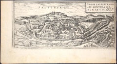
Salzburg, Map from "Civitates Orbis Terrarum"-by F. Hogenberg - 1575

Salzburg, Map from "Civitates Orbis Terrarum"-by F. Hogenberg - 1575

By Franz Hogenberg

Located in Roma, IT

The “Civitates Orbis Terrarum” (Atlas of Cities of the World) was the second oldest printed atlas in the history of world cartography and the first atlas totally dedicated to topogra...

Category

16th Century Modern Antique Cartography

Materials

Etching, Aquatint

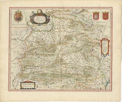
Antique Blaeu Map of Castile Spain, Castilla León Madrid Toledo, 1642

Antique Blaeu Map of Castile Spain, Castilla León Madrid Toledo, 1642

Located in Langweer, NL

Produced by Willem and Joan Blaeu during the Dutch Golden Age of cartography, the map originates from the celebrated atlas Toonneel des Aerdrycx, one of the most luxurious and influe...

Category

Mid-17th Century Dutch Antique Cartography

Materials

Paper

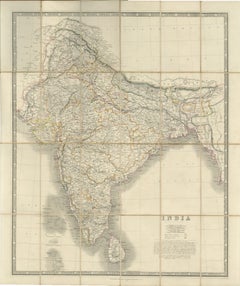
Johnston's Travelling Map of India on Linen in Original Cloth, 1857

Johnston's Travelling Map of India on Linen in Original Cloth, 1857

Located in Langweer, NL

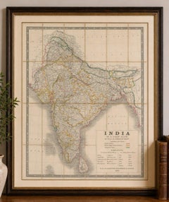
Johnston's Travelling Map of India on Linen in Original Cloth, 1857 An exceptionally rare and historically important travelling map of the Indian subcontinent, published by the reno...

Category

Mid-19th Century British Antique Cartography

Materials

Paper, Linen

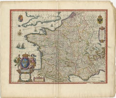
17th Century Blaeu Map of France, Gallia, Hand Colored, c.1642

17th Century Blaeu Map of France, Gallia, Hand Colored, c.1642

Located in Langweer, NL

It was produced at a time when cartography was not only a scientific pursuit but also a statement of cultural prestige and artistic excellence.

Category

Mid-17th Century Dutch Antique Cartography

Materials

Paper

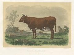
Flemish Cow, Antique French Cattle Print, Riffaut Heliogravure, 1873

Flemish Cow, Antique French Cattle Print, Riffaut Heliogravure, 1873

Located in Langweer, NL

The album gathered the statistical cartography, the model state farms, the breed portraits and the prize silver by which France meant to present its agriculture to the world.

Category

Late 19th Century French Antique Cartography

Materials

Paper
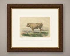
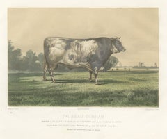
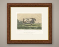
Markob, Durham Shorthorn Bull of Corbon, Antique Print, 1873

Markob, Durham Shorthorn Bull of Corbon, Antique Print, 1873

Located in Langweer, NL

The album gathered the statistical cartography, the model state farms, the breed portraits and the prize silver by which France meant to present its agriculture to the world.

Category

Late 19th Century French Antique Cartography

Materials

Paper
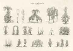
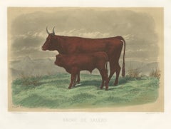
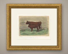
Salers Cow and Calf, Antique Cattle Print after Rosa Bonheur, 1873

Salers Cow and Calf, Antique Cattle Print after Rosa Bonheur, 1873

Located in Langweer, NL

The album gathered the statistical cartography, the model state farms, the breed portraits and the prize silver by which France meant to present its agriculture to the world.

Category

Late 19th Century French Antique Cartography

Materials

Paper
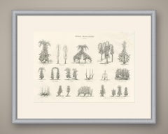
Emilie, Durham Shorthorn Cow of Corbon, Antique Print, 1873

Emilie, Durham Shorthorn Cow of Corbon, Antique Print, 1873

Located in Langweer, NL

The album gathered the statistical cartography, the model state farms, the breed portraits and the prize silver by which France meant to present its agriculture to the world.

Category

Late 19th Century French Antique Cartography

Materials

Paper
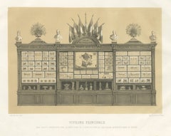
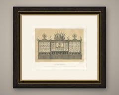
Antique Print of the French Agriculture Display, Vienna World Fair, 1873

Antique Print of the French Agriculture Display, Vienna World Fair, 1873

Located in Langweer, NL

The album gathered the statistical cartography, the model state farms, the breed portraits and the prize silver by which France meant to present its agriculture to the world.

Category

Late 19th Century French Antique Cartography

Materials

Paper
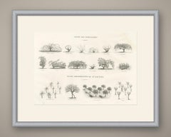
Unstaked and Tree-Trained Vines, Antique French Viticulture Print

Unstaked and Tree-Trained Vines, Antique French Viticulture Print

Located in Langweer, NL

The album gathered the statistical cartography, the model state farms, the breed portraits and the prize silver by which France meant to present its agriculture to the world.

Category

Late 19th Century French Antique Cartography

Materials

Paper
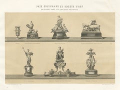
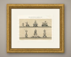
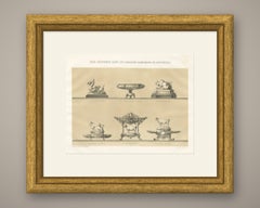
French Agricultural Show Trophies, Antique Silverware Print, 1873

French Agricultural Show Trophies, Antique Silverware Print, 1873

Located in Langweer, NL

The album gathered the statistical cartography, the model state farms, the breed portraits and the prize silver by which France meant to present its agriculture to the world.

Category

Late 19th Century French Antique Cartography

Materials

Paper
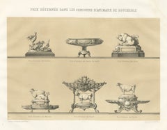
Fat Stock Show Prize Trophies, Antique Silverware Print, 1873

Fat Stock Show Prize Trophies, Antique Silverware Print, 1873

Located in Langweer, NL

The album gathered the statistical cartography, the model state farms, the breed portraits and the prize silver by which France meant to present its agriculture to the world.

Category

Late 19th Century French Antique Cartography

Materials

Paper
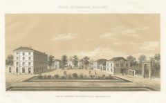
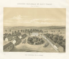
Haut-Tingry National Sheep Farm, Antique French Farm View, 1873

Haut-Tingry National Sheep Farm, Antique French Farm View, 1873

Located in Langweer, NL

The album gathered the statistical cartography, the model state farms, the breed portraits and the prize silver by which France meant to present its agriculture to the world.

Category

Late 19th Century French Antique Cartography

Materials

Paper
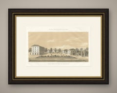
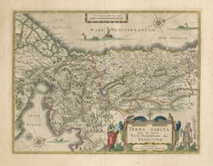
Antique Blaeu Holy Land Map – Terra Sancta Palestina, 1629

Antique Blaeu Holy Land Map – Terra Sancta Palestina, 1629

Located in Langweer, NL

Examples of Blaeu Holy Land maps remain highly desirable among collectors of biblical cartography, early Dutch maps, and decorative antique prints.

Category

Early 17th Century Dutch Antique Cartography

Materials

Paper
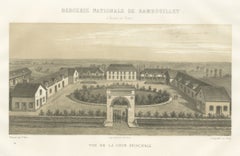
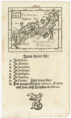
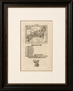
Rare 1683 Mallet Miniature Map of Japan “Iaponia” with German Text

Rare 1683 Mallet Miniature Map of Japan “Iaponia” with German Text

Located in Langweer, NL

Keywords: Japan, Iaponia, Nippon, Edo, Kyoto, Jedo, Meaco, Shikoku, Kyushu, Kanto, Alain Manesson Mallet, Mallet map, Description de l’Univers, Japanese cartography, Asia map, miniat...

Category

Late 17th Century French Antique Cartography

Materials

Paper
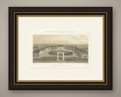
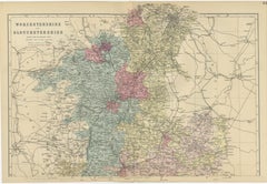
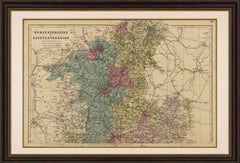
Worcestershire & Gloucestershire County Map – Weller, Victorian England 1885

Worcestershire & Gloucestershire County Map – Weller, Victorian England 1885

Located in Langweer, NL

It appeals to collectors of British county maps, genealogy, local history, railway history, Cotswold memorabilia, and antique cartography. Condition: Good condition for its age, wit...

Category

Late 19th Century British Antique Cartography

Materials

Paper
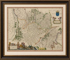
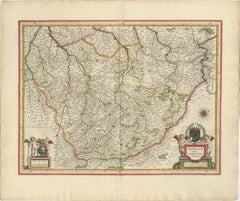
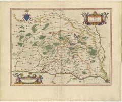
Blaeu's Dombes, Lyonnais and Bresse, France – Original 1642 Map

Blaeu's Dombes, Lyonnais and Bresse, France – Original 1642 Map

Located in Langweer, NL

Today, Blaeu maps are among the most sought-after works in early cartography, prized for their balance of accuracy, elegance, and decorative sophistication.

Category

Mid-17th Century Dutch Antique Cartography

Materials

Paper
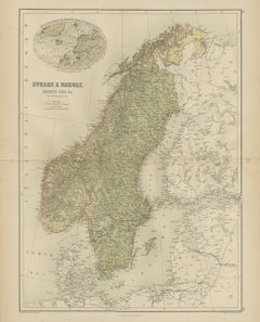
Antique Map of Sweden and Norway, Baltic Sea, Black's General Atlas, 1870

Antique Map of Sweden and Norway, Baltic Sea, Black's General Atlas, 1870

Located in Langweer, NL

Sheets from this atlas are sought after today both as reference cartography and as decorative material, the generous folio format suiting a wall quite as readily as a portfolio.

Category

Late 19th Century British Victorian Antique Cartography

Materials

Paper
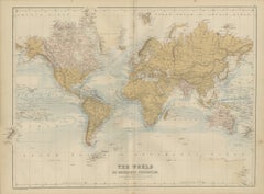
Antique Map of the World on Mercator's Projection, Black's General Atlas, 1870

Antique Map of the World on Mercator's Projection, Black's General Atlas, 1870

Located in Langweer, NL

Sheets from this atlas are sought after today both as reference cartography and as decorative material, the generous folio format suiting a wall quite as readily as a portfolio.

Category

Late 19th Century British Victorian Antique Cartography

Materials

Paper
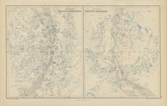
Antique Star Chart of Both Celestial Hemispheres, Black's General Atlas, 1870

Antique Star Chart of Both Celestial Hemispheres, Black's General Atlas, 1870

Located in Langweer, NL

Sheets from this atlas are sought after today both as reference cartography and as decorative material, the generous folio format suiting a wall quite as readily as a portfolio.

Category

Late 19th Century British Victorian Antique Cartography

Materials

Paper
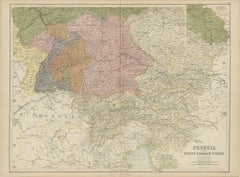
Antique Map of Prussia and the South German States, Black's General Atlas, 1870

Antique Map of Prussia and the South German States, Black's General Atlas, 1870

Located in Langweer, NL

Sheets from this atlas are sought after today both as reference cartography and as decorative material, the generous folio format suiting a wall quite as readily as a portfolio.

Category

Late 19th Century British Victorian Antique Cartography

Materials

Paper
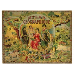
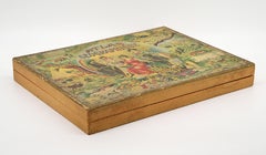
Léon Saussine Antique Atlas Puzzle, Colorful World Map, ca. 1900

Léon Saussine Antique Atlas Puzzle, Colorful World Map, ca. 1900

Located in Saint-Amans-des-Cots, FR

Each board is beautifully printed in vibrant chromolithography, showcasing the rich colors and detailed cartography characteristic of high-quality French educational publishing at th...

Category

Early 1900s French Art Nouveau Antique Cartography

Materials

Paper
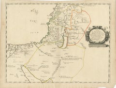
Antique Map Holy Land & Jerusalem — Patriarchatus Hierosolymitani, c1652

Antique Map Holy Land & Jerusalem — Patriarchatus Hierosolymitani, c1652

Located in Langweer, NL

The engraving demonstrates the scholarly cartographic tradition of 17th-century Paris, combining classical geographic knowledge with theological interpretation.

Category

Mid-17th Century French Antique Cartography

Materials

Paper
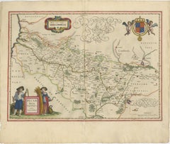
Decorative Blaeu Map of Picardy with Costume Figures, France 1642

Decorative Blaeu Map of Picardy with Costume Figures, France 1642

Located in Langweer, NL

It is a prime example of the decorative richness associated with Dutch Golden Age cartography. The geography is finely rendered with dense place names, road networks, and subtle lan...

Category

Mid-17th Century Dutch Antique Cartography

Materials

Paper
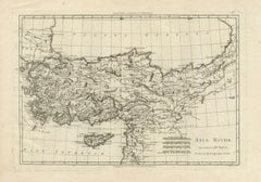
Asia Minor and the Ottoman Levant — Fine Bonne Map of Turkey, c.1780

Asia Minor and the Ottoman Levant — Fine Bonne Map of Turkey, c.1780

Located in Langweer, NL

Keywords: Asia Minor, Turkey map, Ottoman Empire, Anatolia, Black Sea, Pontus Euxinus, Mesopotamia, Cappadocia, Levant, antique map, Rigobert Bonne, 18th century cartography, classic...

Category

Late 18th Century French Antique Cartography

Materials

Paper
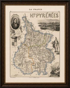
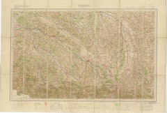
Antique Tarbes & French Pyrenees Folding Map, Edward Stanford, 1922

Antique Tarbes & French Pyrenees Folding Map, Edward Stanford, 1922

Located in Langweer, NL

Maker: Edward Stanford, Sole Agent in London, after official French cartographic sources, London, 1922. Keywords: Edward Stanford, Sole Agent London, Tarbes Map, Carte de France 1:2...
Category

Early 20th Century British Antique Cartography

Materials

Paper

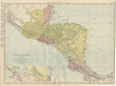
Antique Map of Central America, with Proposed Nicaragua Canal, 1899

Antique Map of Central America, with Proposed Nicaragua Canal, 1899

By Rand McNally & Co.

Located in Langweer, NL

In 1899 this route, not the one eventually built across Panama, was the leading American proposal for an interoceanic canal, and its appearance here as a serious cartographic feature...

Category

Late 19th Century American Late Victorian Antique Cartography

Materials

Paper

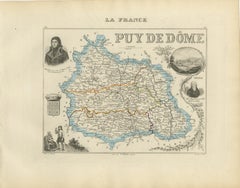
Antique Decorative Map of Puy-de-Dôme by Vuillemin, circa 1850

Antique Decorative Map of Puy-de-Dôme by Vuillemin, circa 1850

Located in Langweer, NL

An attractive historical map for collectors of French cartography, Auvergne heritage, volcanic landscapes, wine regions and nineteenth-century decorative engravings.

Category

Mid-19th Century French Antique Cartography

Materials

Paper
  • 1
  • ...
Get Updated with New Arrivals
Save "Antique Cartography", and we’ll notify you when there are new listings in this category.

Antique Cartography For Sale on 1stDibs

Find many varieties of an authentic antique cartography available at 1stDibs. An antique cartography — often made from paper, wood and metal — can elevate any home. You’ve searched high and low for the perfect antique cartography — we have versions that date back to the 18th Century alongside those produced as recently as the 20th Century are available. An antique cartography, designed in the Empire, Louis XVI or Art Nouveau style, is generally a popular piece of furniture. You’ll likely find more than one antique cartography that is appealing in its simplicity, but Jacques-Nicolas Bellin, Nicolas Sanson and Jakob van der Schley produced versions that are worth a look.
How Much is a Antique Cartography?

An antique cartography can differ in price owing to various characteristics — the average selling price 1stDibs is $253, while the lowest priced sells for $52 and the highest can go for as much as $238,935.