Antique Cartography

to
129
2,497
96

Use search to find more

1,341
1,117
756
461
362
301
189
187
161
159
159
137
137
129
122
83
59
48
43
41
38
35
33
31
30
29
29
24
23
21
21
19
18
18
16
15
12
11
10
10
10
9
9
8
8
8
7
5
5
2
70
31
21
20
14

Use search to find more

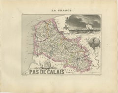
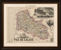
Antique Decorative Map of Pas-de-Calais by Vuillemin, circa 1850

Antique Decorative Map of Pas-de-Calais by Vuillemin, circa 1850

Located in Langweer, NL

An attractive historical map for collectors of French cartography, maritime history, the Côte d’Opale, Artois heritage and nineteenth-century decorative engravings.

Category

Mid-19th Century French Antique Cartography

Materials

Paper
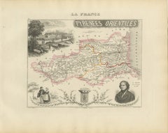
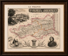
Antique Map of Pyrénées-Orientales by Vuillemin, circa 1850

Antique Map of Pyrénées-Orientales by Vuillemin, circa 1850

Located in Langweer, NL

An attractive historical map for collectors of French cartography, Catalan heritage, Mediterranean landscapes, Pyrenean history and nineteenth-century decorative engravings.

Category

Mid-19th Century French Antique Cartography

Materials

Paper
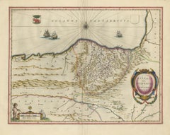
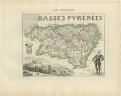
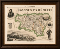
Antique Map of Basses-Pyrénées, France by Vuillemin, circa 1850

Antique Map of Basses-Pyrénées, France by Vuillemin, circa 1850

Located in Langweer, NL

An attractive historical map for collectors of French cartography, Basque heritage, Béarn history, Pyrenean landscapes and nineteenth-century decorative engravings.

Category

Mid-19th Century French Antique Cartography

Materials

Paper
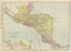
Antique Map of Central America, with Proposed Nicaragua Canal, 1899

Antique Map of Central America, with Proposed Nicaragua Canal, 1899

By Rand McNally & Co.

Located in Langweer, NL

In 1899 this route, not the one eventually built across Panama, was the leading American proposal for an interoceanic canal, and its appearance here as a serious cartographic feature...

Category

Late 19th Century American Late Victorian Antique Cartography

Materials

Paper
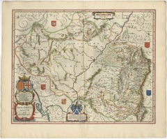
Blaeu Map of Aragon – Arragonia Regnum, Decorative Spain Atlas Map, 1642

Blaeu Map of Aragon – Arragonia Regnum, Decorative Spain Atlas Map, 1642

Located in Langweer, NL

Maps of Spain by Blaeu are highly regarded for their combination of cartographic precision and decorative sophistication.

Category

Mid-17th Century Dutch Antique Cartography

Materials

Paper
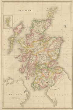
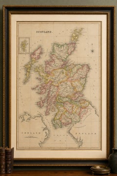
Antique Map of Scotland by T. L. Murray with Original Colour, 1830

Antique Map of Scotland by T. L. Murray with Original Colour, 1830

Located in Langweer, NL

KEYWORDS: Scotland map, antique Scotland map, Scottish map, Thomas Laurie Murray, T L Murray, 1830 map, Georgian map, hand coloured map, British Isles, Hebrides, Orkney Islands, Shet...

Category

Early 19th Century English Georgian Antique Cartography

Materials

Paper
Antique Map of Canada, Newfoundland & Acadia — Gulf of St Lawrence, Bonne c.1780

Antique Map of Canada, Newfoundland & Acadia — Gulf of St Lawrence, Bonne c.1780

Located in Langweer, NL

As part of Bonne’s mature cartographic output, this map is highly valued by collectors for its balance between scholarly accuracy and elegant visual design.

Category

Late 18th Century French Antique Cartography

Materials

Paper
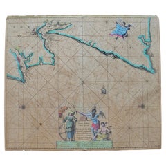
Johannes van Keulen Hand-Colored Nautical Chart of Portugal, circa 1690

Johannes van Keulen Hand-Colored Nautical Chart of Portugal, circa 1690

Located in Marinha Grande, PT

An authentic early maritime document combining significant cartographic, historical and decorative interest.

Category

17th Century Dutch Baroque Antique Cartography

Materials

Paper
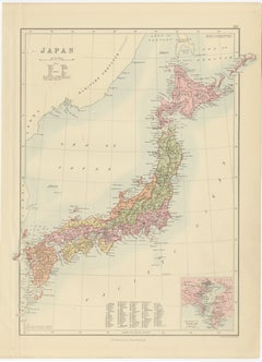
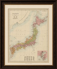
Antique Map of Japan with Tokyo Inset, Black’s General Atlas, 1885

Antique Map of Japan with Tokyo Inset, Black’s General Atlas, 1885

Located in Langweer, NL

Black of Edinburgh, this map reflects the refined British cartographic style of the late Victorian period, combining scientific clarity with decorative restraint.

Category

Late 19th Century British Antique Cartography

Materials

Paper
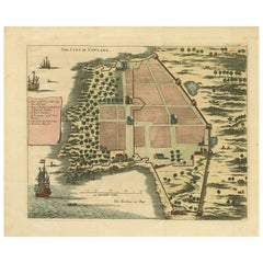
The City of Cowlang – Antique Map of Kollam (Quilon), India by Baldaeus, ca.1672

The City of Cowlang – Antique Map of Kollam (Quilon), India by Baldaeus, ca.1672

Located in Langweer, NL

A rare and historically significant view combining early colonial cartography, architecture, and ethnography—an important visual record of VOC presence on the southwest coast of Indi...

Category

1670s Dutch Antique Cartography

Materials

Paper
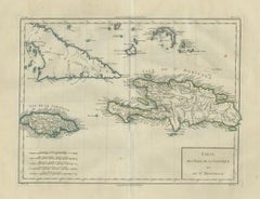
Antique Caribbean Map, Jamaica Cuba Saint-Domingue, Tardieu, c.1775

Antique Caribbean Map, Jamaica Cuba Saint-Domingue, Tardieu, c.1775

Located in Langweer, NL

Executed in an elegant French cartographic style, the map combines geographic precision with refined engraving and delicate period coloring, making it both historically significant a...

Category

Late 18th Century French Antique Cartography

Materials

Paper
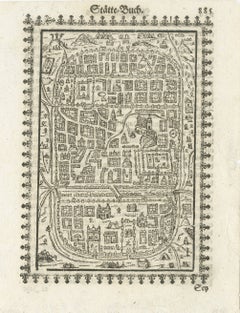
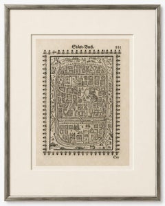
17th Century Woodcut Map of Jerusalem from Abraham Saur’s Städte-Buch, 1658

17th Century Woodcut Map of Jerusalem from Abraham Saur’s Städte-Buch, 1658

Located in Langweer, NL

Streets and architectural blocks are arranged in a schematic yet highly decorative manner, creating a visually powerful image that combines cartography, theology, and symbolic urban ...

Category

Mid-17th Century German Antique Cartography

Materials

Paper
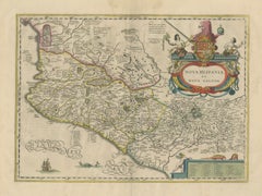
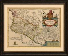
Antique Map of Southern Mexico & New Galicia, Janssonius, Amsterdam c.1650

Antique Map of Southern Mexico & New Galicia, Janssonius, Amsterdam c.1650

Located in Langweer, NL

The map belongs to the celebrated Dutch Golden Age of cartography, a period during which Amsterdam became the world's leading center for mapmaking.

Category

Mid-17th Century Dutch Antique Cartography

Materials

Paper
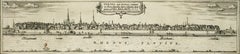
Bonn, Map from "Civitates Orbis Terrarum" - by F. Hogenberg - 1575

Bonn, Map from "Civitates Orbis Terrarum" - by F. Hogenberg - 1575

By Franz Hogenberg

Located in Roma, IT

The “Civitates Orbis Terrarum” (Atlas of Cities of the World) was the second oldest printed atlas in the history of world cartography and the first atlas totally dedicated to topogra...

Category

16th Century Antique Cartography

Materials

Etching, Aquatint

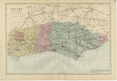
Antique Sussex Map, Brighton "London-by-the-Sea", Edward Weller 1885

Antique Sussex Map, Brighton "London-by-the-Sea", Edward Weller 1885

Located in Langweer, NL

This original antique map appeals to collectors of British county maps, coastal history, railway history, genealogy, Sussex memorabilia, and Victorian cartography. It also makes an e...

Category

Late 19th Century British Antique Cartography

Materials

Paper
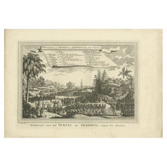
Antique Print of the Temple of Pythons, Ouidah, Benin, Africa, 1748

Antique Print of the Temple of Pythons, Ouidah, Benin, Africa, 1748

By Jakob van der Schley

Located in Langweer, NL

Image size: 28 x 19 cm. Whilst cartography holds a special place in our collection, we also offer thousands of antique prints covering fields of interest as diverse as architecture,...

Category

18th Century Dutch Antique Cartography

Materials

Paper
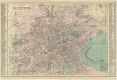
Antique Edinburgh City Map 1885, Victorian Ordnance Atlas Plan by G.W. Bacon

Antique Edinburgh City Map 1885, Victorian Ordnance Atlas Plan by G.W. Bacon

Located in Langweer, NL

Bacon, London, 1885 Keyword Block antique map, Edinburgh map, Scotland map, Victorian map, 1885 map, George W Bacon, Bacon atlas, Ordnance survey map, city plan Edinburgh, Scottish ...

Category

Late 19th Century British Antique Cartography

Materials

Paper
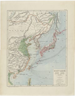
Antique Map of East Asia, Japan & Korea by J. Kuijper, circa 1860

Antique Map of East Asia, Japan & Korea by J. Kuijper, circa 1860

Located in Langweer, NL

This piece works exceptionally well as both a decorative antique map and a historical document of European cartographic interpretation of East Asia. The soft palette and fine linewor...

Category

Late 19th Century Dutch Antique Cartography

Materials

Paper
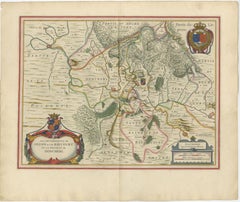
Antique Blaeu Map of Sedan & Donchery France, c. 1642 Hand Color

Antique Blaeu Map of Sedan & Donchery France, c. 1642 Hand Color

Located in Langweer, NL

Keywords: Sedan, Donchery, Raucourt, Ardennes, Champagne, Picardie, Lorraine, Luxembourg, Sedan fortress, French frontier map, Ardennes forest, Meuse River, Blaeu atlas, Willem Blaeu...

Category

Mid-17th Century Dutch Antique Cartography

Materials

Paper
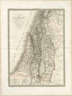
Antique Map of Palestine and the Holy Land – Lapie, Paris, 1838

Antique Map of Palestine and the Holy Land – Lapie, Paris, 1838

Located in Langweer, NL

It would appeal to collectors of historical cartography, as well as those with an interest in religious history and the geography of the ancient Near East.

Category

Early 19th Century French Antique Cartography

Materials

Paper
Sanson & Schenk Biblical Map of the Twelve Tribes of Israel, circa 1700

Sanson & Schenk Biblical Map of the Twelve Tribes of Israel, circa 1700

Located in Langweer, NL

The composition reflects the sophisticated aesthetic of Dutch Baroque cartography, combining scholarly geographical interpretation with elegant decorative engraving.

Category

Early 18th Century British Antique Cartography

Materials

Paper
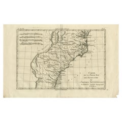
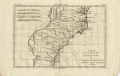
Antique Map Southern United States — Carolina & Georgia, Bonne c.1780

Antique Map Southern United States — Carolina & Georgia, Bonne c.1780

Located in Langweer, NL

Technique: Copperplate engraving Maker: Rigobert Bonne, France, circa 1780 Keyword block: Southern United States antique map, Carolina Georgia antique map, Rigobert Bonne map, early...

Category

Late 18th Century French Antique Cartography

Materials

Paper
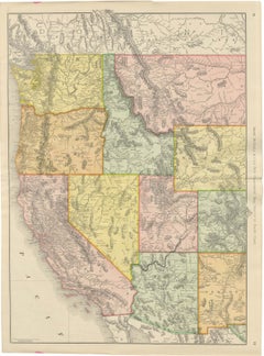
Antique Map of the Western United States, Denver to the Pacific Coast, 1899

Antique Map of the Western United States, Denver to the Pacific Coast, 1899

By Rand McNally & Co.

Located in Langweer, NL

Once framed, this antique map of the western United States makes a strong wall piece for a study, library or office, and it will appeal to collectors of American railroad and commerc...

Category

Late 19th Century American Late Victorian Antique Cartography

Materials

Paper
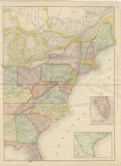
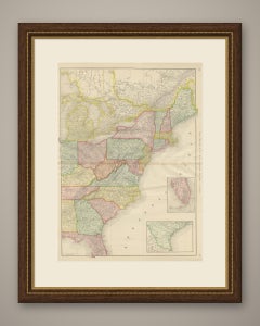
Antique Map of the Eastern United States, with Florida Inset, Rand McNally, 1899

Antique Map of the Eastern United States, with Florida Inset, Rand McNally, 1899

By Rand McNally & Co.

Located in Langweer, NL

Once framed, this antique map of the eastern United States makes a strong wall piece for a study, library or office, and it will appeal to collectors of American railroad and commerc...

Category

Late 19th Century American Late Victorian Antique Cartography

Materials

Paper
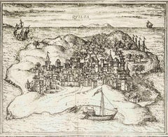
Quiloa, Map from "Civitates Orbis Terrarum" - by F.Hogenberg - 1575

Quiloa, Map from "Civitates Orbis Terrarum" - by F.Hogenberg - 1575

By Franz Hogenberg

Located in Roma, IT

The “Civitates Orbis Terrarum” (Atlas of Cities of the World) was the second oldest printed atlas in the history of world cartography and the first atlas totally dedicated to topogra...

Category

16th Century Modern Antique Cartography

Materials

Etching, Aquatint

Broversavia, Map from "Civitates Orbis Terrarum" - by F.Hogenberg - 1575

Broversavia, Map from "Civitates Orbis Terrarum" - by F.Hogenberg - 1575

By Franz Hogenberg

Located in Roma, IT

The “Civitates Orbis Terrarum” (Atlas of Cities of the World) was the second oldest printed atlas in the history of world cartography and the first atlas totally dedicated to topogra...

Category

16th Century Antique Cartography

Materials

Etching, Aquatint

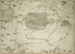
Leyden, Map from "Civitates Orbis Terrarum" - by F. Hogenberg - 1575

Leyden, Map from "Civitates Orbis Terrarum" - by F. Hogenberg - 1575

By Franz Hogenberg

Located in Roma, IT

The “Civitates Orbis Terrarum” (Atlas of Cities of the World) was the second oldest printed atlas in the history of world cartography and the first atlas totally dedicated to topogra...

Category

16th Century Antique Cartography

Materials

Etching, Aquatint

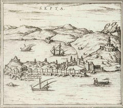
Septa, Map from "Civitates Orbis Terrarum" - by F.Hogenberg - 1575

Septa, Map from "Civitates Orbis Terrarum" - by F.Hogenberg - 1575

By Franz Hogenberg

Located in Roma, IT

The “Civitates Orbis Terrarum” (Atlas of Cities of the World) was the second oldest printed atlas in the history of world cartography and the first atlas totally dedicated to topogra...

Category

16th Century Antique Cartography

Materials

Etching, Aquatint

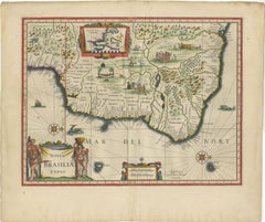
Blaeu Brazil Map, Novus Brasiliae Typus, Antique Hand-Colored Map 1642

Blaeu Brazil Map, Novus Brasiliae Typus, Antique Hand-Colored Map 1642

Located in Langweer, NL

Keywords: Brazil, Brasilia, Novus Brasiliae Typus, South America, Dutch Brazil, Pernambuco, Bahia, Rio de Janeiro, Amazon, Atlantic coast, indigenous peoples, colonial Brazil, Dutch ...

Category

Mid-17th Century Dutch Antique Cartography

Materials

Paper
Antique Map of the Holy Land Palestine & Jerusalem, Elias Baeck ca. 1700

Antique Map of the Holy Land Palestine & Jerusalem, Elias Baeck ca. 1700

Located in Langweer, NL

The map is presented in an elegant baroque style typical of German cartography from the late 17th and early 18th centuries.

Category

Early 18th Century German Antique Cartography

Materials

Paper
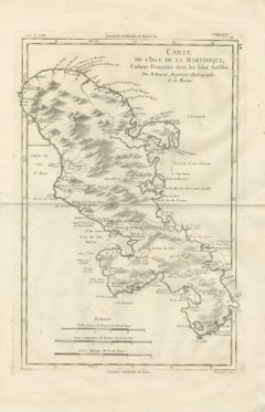
Antique Map Martinique Caribbean Island Chart, Rigobert Bonne French Map, c.1780

Antique Map Martinique Caribbean Island Chart, Rigobert Bonne French Map, c.1780

Located in Langweer, NL

Technique: Copperplate engraving Maker: Rigobert Bonne, France, circa 1780 Keyword block: Martinique antique map, Rigobert Bonne map, French Antilles map, Caribbean colonial map, Fo...

Category

Late 18th Century French Antique Cartography

Materials

Paper
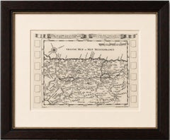
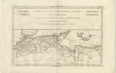
Antique Map North Africa Barbary Coast with Morocco Algeria Tunisia, Bonne c1780

Antique Map North Africa Barbary Coast with Morocco Algeria Tunisia, Bonne c1780

Located in Langweer, NL

This example offers strong decorative appeal while retaining scholarly importance, making it suitable for both serious cartographic collections and refined interior display.

Category

Late 18th Century French Antique Cartography

Materials

Paper
Antique Map of North America, Canada, United States and Mexico, 1860

Antique Map of North America, Canada, United States and Mexico, 1860

Located in Langweer, NL

The balance of geographical accuracy, historical significance, and decorative appeal makes this map both an important cartographic document and a striking display piece.

Category

Mid-19th Century British Antique Cartography

Materials

Paper
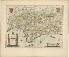
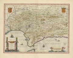
Blaeu Andalusia Map, Seville Cordoba Granada Spain, c.1642

Blaeu Andalusia Map, Seville Cordoba Granada Spain, c.1642

Located in Langweer, NL

Blaeu’s work represents the pinnacle of 17th-century cartographic production, combining geographic knowledge with artistic sophistication.

Category

Mid-17th Century Dutch Antique Cartography

Materials

Paper
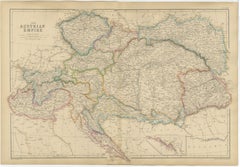
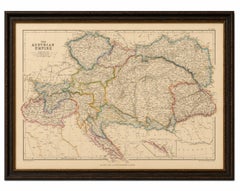
Original Antique Map of the Austrian Empire, Austria-Hungary c.1860

Original Antique Map of the Austrian Empire, Austria-Hungary c.1860

Located in Langweer, NL

This map offers strong appeal for collectors of European history, Habsburg studies, military history, genealogy, and antique cartography. It is equally attractive as a decorative dis...

Category

Mid-19th Century British Antique Cartography

Materials

Paper
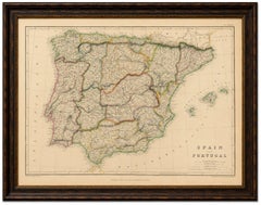
Original Antique Map of Spain and Portugal, Iberian Peninsula c.1860

Original Antique Map of Spain and Portugal, Iberian Peninsula c.1860

Located in Langweer, NL

Their maps are admired for their precision, attractive original coloring, and high-quality engraving, making them increasingly desirable among collectors of antique cartography. Thi...

Category

Mid-19th Century British Antique Cartography

Materials

Paper
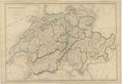
Original Antique Map of Switzerland, Swiss Confederation c.1860

Original Antique Map of Switzerland, Swiss Confederation c.1860

Located in Langweer, NL

Gallen, Lugano, Lake Geneva, Lake Constance, Alpine map, Swiss history, antique map, Blackie & Son, nineteenth century cartography, Europe, Victorian atlas. Condition: Good antique ...

Category

Mid-19th Century British Antique Cartography

Materials

Paper
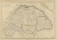
Original Antique Map of Hungary, Transylvania, Dalmatia & Croatia c.1860

Original Antique Map of Hungary, Transylvania, Dalmatia & Croatia c.1860

Located in Langweer, NL

This map will appeal to collectors of Hungarian history, Transylvanian heritage, Habsburg studies, genealogy, military history, Balkan history, and antique cartography. It is equally...

Category

Mid-19th Century British Antique Cartography

Materials

Paper
Holy Land Antique Map — Palestine, Syria, Levant Region, De la Rue Paris c1700

Holy Land Antique Map — Palestine, Syria, Levant Region, De la Rue Paris c1700

Located in Langweer, NL

Technique: Copperplate engraving Maker: Philippe de la Rue, Paris, France, circa early 18th century Keywords: Holy Land map, Palestine antique map, Terre Saincte, Syria antique map,...

Category

Early 18th Century Antique Cartography

Materials

Paper
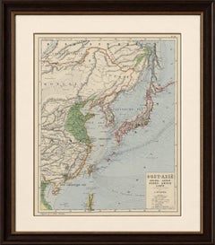
Antique Map of Japan by Johnson & Ward, Decorative Civil War Era Atlas Map, 1865

Antique Map of Japan by Johnson & Ward, Decorative Civil War Era Atlas Map, 1865

Located in Langweer, NL

An excellent collector’s item for enthusiasts of Japan, Asian cartography, Meiji-era history, maritime trade, Americana, and decorative 19th-century maps.

Category

Mid-19th Century American Antique Cartography

Materials

Paper
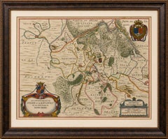
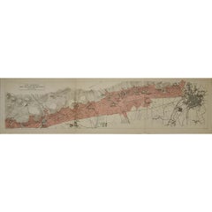
1929 Original Poster Les Grands Bourgognes Côte de Nuits Burgundy Wine Map

1929 Original Poster Les Grands Bourgognes Côte de Nuits Burgundy Wine Map

Located in PARIS, FR

Roads, settlements, wooded slopes and cultivated parcels are rendered with meticulous cartographic detail, while the soft pink shading clearly defines the principal vineyard areas.

Category

1920s Antique Cartography

Materials

Paper, Lithograph

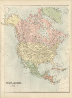
Antique North America Map, Canada, USA, Mexico, Bartholomew, 1884

Antique North America Map, Canada, USA, Mexico, Bartholomew, 1884

Located in Langweer, NL

Combining scientific accuracy with elegant Victorian cartographic design, the map presents the entire North American continent in finely engraved detail and delicate original color.

Category

Late 19th Century Scottish Antique Cartography

Materials

Paper
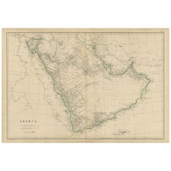
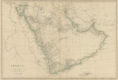
Arabia, Antique Map of the Arabian Peninsula, Blackie Atlas 1860

Arabia, Antique Map of the Arabian Peninsula, Blackie Atlas 1860

Located in Langweer, NL

Blackie, Scotland, 1860 Keywords: Arabia map, Arabian Peninsula map, antique Arabia map, Middle East map, Arabia 19th century, Hejaz, Nejd, Yemen, Oman, Hadramaut, Asir, Rub al Khal...

Category

Mid-19th Century British Antique Cartography

Materials

Paper
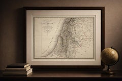
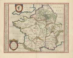
Caesar’s Gallia Antiqua – Blaeu Map of Ancient France, c.1642

Caesar’s Gallia Antiqua – Blaeu Map of Ancient France, c.1642

Located in Langweer, NL

Keywords: Caesar, Julius Caesar, Gallia, Gaul, Gallia Vetus, Ancient France, Roman Empire, Roman provinces, Celtica, Belgica, Aquitania, Germania, Rhine, Classical map, Blaeu map, Wi...

Category

Mid-17th Century Dutch Antique Cartography

Materials

Paper
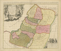
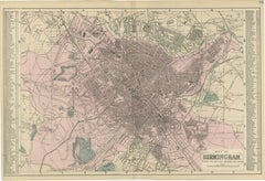
Victorian Birmingham City Plan Map – Edward Weller 1885, Workshop of the World
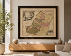

Victorian Birmingham City Plan Map – Edward Weller 1885, Workshop of the World

Located in Langweer, NL

Original hand coloring distinguishes various districts and adds decorative appeal while preserving the map's practical cartographic function. The map encompasses the historic center...

Category

Late 19th Century British Antique Cartography

Materials

Paper

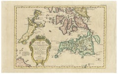
Carte des Isles Philippines – Antique Map of the Philippines, 1752

Carte des Isles Philippines – Antique Map of the Philippines, 1752

Located in Langweer, NL

The map is especially appealing for collectors of Southeast Asian cartography, Philippine history, colonial exploration, and decorative 18th-century maps.

Category

Mid-18th Century French Antique Cartography

Materials

Paper
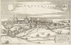
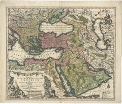
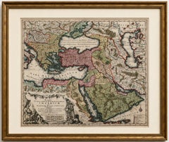
Antique Map of the Ottoman Empire by Matthäus Seutter, c. 1740

Antique Map of the Ottoman Empire by Matthäus Seutter, c. 1740

Located in Langweer, NL

A fine example of the elaborate German Baroque cartography for which Seutter’s Augsburg publishing house became renowned during the first half of the 18th century.

Category

1740s German Baroque Antique Cartography

Materials

Paper

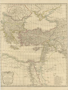
Eastern Roman World Map, Black Sea & Levant, Antique Engraving c.1818

Eastern Roman World Map, Black Sea & Levant, Antique Engraving c.1818

Located in Langweer, NL

D’Anville revolutionized ancient cartography by rejecting speculative geography in favor of rigorous analysis of classical sources, inscriptions, itineraries, and archaeological evid...

Category

Early 19th Century British Antique Cartography

Materials

Paper

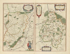
Antique Blaeu Map Vermandois & La Capelle France, Dual Sheet - 1642

Antique Blaeu Map Vermandois & La Capelle France, Dual Sheet - 1642

Located in Langweer, NL

Keywords: antique map Vermandois, Blaeu Vermandois map, Descriptio Veromanduorum, Gouvernement de la Capelle map, Picardy France map Blaeu, Willem Jansz Blaeu, Joan Blaeu atlas, Toon...

Category

Mid-17th Century Dutch Antique Cartography

Materials

Paper

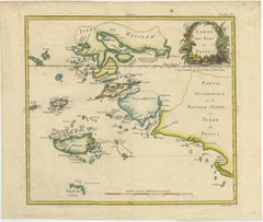
Antique Map of Raja Ampat and New Guinea, Bellin, Papuan Islands c.1749

Antique Map of Raja Ampat and New Guinea, Bellin, Papuan Islands c.1749

Located in Langweer, NL

Today, this map holds strong appeal for collectors of early Indonesian cartography, maritime history, and decorative works on paper.

Category

Mid-18th Century French Antique Cartography

Materials

Paper
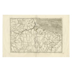
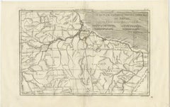
Northern Brazil & Amazon Basin – Enlightenment Map by Rigobert Bonne, c.1780

Northern Brazil & Amazon Basin – Enlightenment Map by Rigobert Bonne, c.1780

Located in Langweer, NL

It functions equally well as a scholarly document for collectors of South American and Amazonian cartography and as a refined decorative wall piece in a library, study, or contempora...

Category

Late 18th Century French Antique Cartography

Materials

Paper
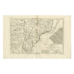
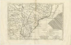
Southern Brazil & Río de la Plata – Enlightenment Map by Rigobert Bonne, c.1780

Southern Brazil & Río de la Plata – Enlightenment Map by Rigobert Bonne, c.1780

Located in Langweer, NL

His tenure marked a decisive shift in French cartography toward standardized measurement, clarity, and the synthesis of contemporary geographic intelligence.

Category

Late 18th Century French Antique Cartography

Materials

Paper
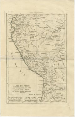
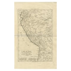
Peru & Upper Amazon – Enlightenment Map by Rigobert Bonne, c.1780

Peru & Upper Amazon – Enlightenment Map by Rigobert Bonne, c.1780

Located in Langweer, NL

It works equally well as a scholarly object for collectors of South American cartography and as a refined decorative piece in a library, study, or contemporary interior.

Category

Late 18th Century French Antique Cartography

Materials

Paper
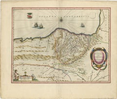
Blaeu Biscay Map, Basque Country Bilbao Cantabria Spain, c.1642

Blaeu Biscay Map, Basque Country Bilbao Cantabria Spain, c.1642

Located in Langweer, NL

A beautiful and balanced example of 17th-century Dutch cartography, ideal for collectors of Blaeu atlas maps, regional Spanish history, or coastal and maritime themes.

Category

Mid-17th Century Dutch Antique Cartography

Materials

Paper

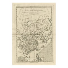
China, Korea & Japan – Antique East Asia Map, Bonne c1780

China, Korea & Japan – Antique East Asia Map, Bonne c1780

Located in Langweer, NL

A fine example of Enlightenment-era Asian cartography. Condition: Good condition with light toning, original fold, minor edge wear.

Category

Late 18th Century French Antique Cartography

Materials

Paper
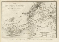
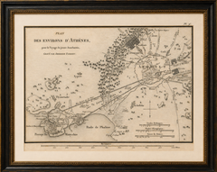
Ancient Athens and Piraeus Map by Ambroise Tardieu, 1825

Ancient Athens and Piraeus Map by Ambroise Tardieu, 1825

Located in Langweer, NL

Keywords: Athens Map, Ancient Athens, Piraeus Map, Attica Map, Acropolis, Athens Acropolis, Long Walls, Piraeus Harbour, Phalerum, Academy of Athens, Lyceum, Ceramicus, Classical Gre...

Category

1820s French Antique Cartography

Materials

Paper
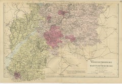
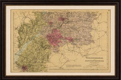
Worcestershire & Gloucestershire South Sheet Map – Edward Weller, 1885

Worcestershire & Gloucestershire South Sheet Map – Edward Weller, 1885

Located in Langweer, NL

This map is both an important historical document and a highly decorative example of Victorian cartography. It appeals to collectors of British county maps, Cotswold history, railway...

Category

Late 19th Century British Antique Cartography

Materials

Paper
  • 1
  • ...
Get Updated with New Arrivals
Save "Antique Cartography", and we’ll notify you when there are new listings in this category.

Antique Cartography For Sale on 1stDibs

Find many varieties of an authentic antique cartography available at 1stDibs. An antique cartography — often made from paper, wood and metal — can elevate any home. You’ve searched high and low for the perfect antique cartography — we have versions that date back to the 18th Century alongside those produced as recently as the 20th Century are available. An antique cartography, designed in the Empire, Louis XVI or Art Nouveau style, is generally a popular piece of furniture. You’ll likely find more than one antique cartography that is appealing in its simplicity, but Jacques-Nicolas Bellin, Nicolas Sanson and Jakob van der Schley produced versions that are worth a look.
How Much is a Antique Cartography?

An antique cartography can differ in price owing to various characteristics — the average selling price 1stDibs is $253, while the lowest priced sells for $52 and the highest can go for as much as $238,935.