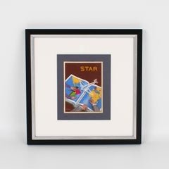
C. VillarsFrench Poster Study Aviation Illustration Gouache Drawing by C. Villars, circa 1940
$1,500
H 14 in W 14 in D 1.57 in
French Poster Study Aviation Illustration Gouache Drawing by C. Villars
Located in Atlanta, GA
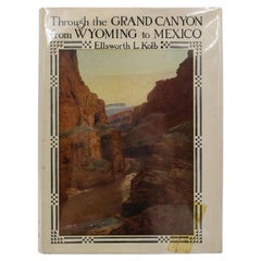
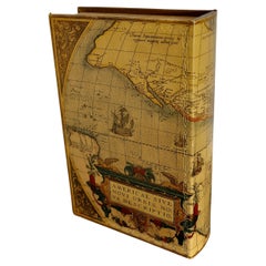
map book in the background, focusing on South American and French countries. On the side, we can see
Category
1940s Post-War Vintage Map Book
Materials
Paper