
Pictorial Map

2
to
47
286
194
278
225
117
102
83
70
50
44
41
38
24
23
23
22
21
12
11
11
11
10
8
7
6
5
5
5
5
4
4
3
3
3
3
3
3
2
1
1
1
1
1
1
1
1
46
42
42
35
20
Sort By
Pictorial Map of Chicago, circa 1926
Located in Colorado Springs, CO
., circa 1926. This highly decorative, double sided map features "Pictorial Map of Chicago" with a
Category

Vintage 1920s American Maps

Materials

Paper

Pictorial Map of Chicago, circa 1926
H 45 in W 33 in D 1.5 in
Vintage Afghan Pictorial Map Rug
Located in New York, NY
A vintage Afghan Pictorial map rug from the mid-20th century. Measures: 3' 0" x 4' 10"
Category

Mid-20th Century Afghan Folk Art Central Asian Rugs

Materials

Wool

Old Decorative Pictorial Map of the United States, circa 1953
Located in Langweer, NL
Antique map titled 'A Pictorial Map of the United States of America Showing Principal Regional
Category

20th Century Maps

Materials

Paper

Kerry Lee 'Cambridge' Original Vintage Poster pictorial map University
By Kerry Lee
Located in London, GB
. Kerry Lee (1903-1988) Cambridge pictorial poster map Image size: 45x58cm Original lithographic poster
Category

1940s Realist Landscape Prints

Materials

Lithograph

Original Vintage Poster Pictorial Map British Railways Cambridge University City
By Kerry Lee
Located in London, GB
Original vintage pictorial travel map poster for Cambridge published by British Railways Eastern
Category

Vintage 1960s British Posters

Materials

Paper

Original Vintage Travel Poster Rhodesia Pictorial Map Southern Africa Zimbabwe
Located in London, GB
Original vintage travel poster - A Pictorial Map of Rhodesia (Southern & Northern) - featuring a
Category

Vintage 1930s British Posters

Materials

Paper

Original Vintage Poster London Town Pictorial Map Southern Railway Underground
By Kerry Lee
Located in London, GB
poster designer Kerry Lee (1902-1988) featuring a detailed pictorial map of central London with captions
Category

Vintage 1930s British Posters

Materials

Paper

Original Vintage Pictorial Map Poster Ceylon Tea And Other Industries Sri Lanka
By "Leslie MacDonald ""Max"" Gill"
Located in London, GB
Original vintage pictorial map poster for Ceylon Her Tea & Other Industries featuring artwork by
Category

Vintage 1940s British Posters

Materials

Paper

Original Vintage Travel Poster Isle Of Wight Pictorial Map British Railways Art
By Reginald Lander
Located in London, GB
. Great pictorial map artwork by the notable commercial artist and poster designer Reginald Montague
Category

Vintage 1960s British Posters

Materials

Paper

Original Vintage Travel Poster Visit Hungary Pictorial Map Budapest Lake Balaton
Located in London, GB
Original vintage travel poster - Visit Hungary! - featuring a pictorial map of the country
Category

Vintage 1960s Hungarian Posters

Materials

Paper

Original Vintage Poster Pictorial Map Of Yorkshire British Railways Train Travel
Located in London, GB
Original vintage train travel poster - Pictorial Map of Yorkshire by British Railways - featuring a
Category

Vintage 1950s British Posters

Materials

Paper

Original Vintage Travel By Train London Town Pictorial Map Poster Kerry Lee
By Kerry Lee
Located in London, GB
poster designer Kerry Lee (1902-1988) featuring a detailed pictorial map of central London with captions
Category

Vintage 1950s British Posters

Materials

Paper

1847 “World at One View” Antique Hand-Colored Wall Map of the World
Located in Colorado Springs, CO
and Thayer, New York. This pictorial map was printed as a broadside and features a beautiful double
Category

Antique 19th Century American Maps

Materials

Paper

1948 "A Hysterical Map of Yellowstone National Park" by Jolly Lindgren, 2nd Ed.
Located in Colorado Springs, CO
Park.” This comical pictorial map highlights the famous Yellowstone National Park. The map is labeled
Category

Vintage 1940s American Maps

Materials

Paper

The History of the Royal Canadian Mounted Police, Published in 1966
Located in Langweer, NL
This rare pictorial map by Peter R. Furse celebrates the history of the Royal Canadian Mounted
Category

Vintage 1960s Maps

Materials

Paper

Original Vintage Pictorial Travel Map Nachod Region Czechoslovakia Czech Design
Located in London, GB
Original vintage pictorial travel map Nachod Region B. Nemcove and A. Jiraska invite you to visit
Category

Vintage 1960s Czech Posters

Materials

Paper

Pictorial Vintage Map of New York City Showing Numerous Landmarks, 1939
Located in Langweer, NL
This pictorial souvenir map focuses on New York City and the site of the 1939 World's Fair. It was
Category

Vintage 1930s Maps

Materials

Paper

Gold Leaf Foil Pictorial Plan Map of the West Country of England Antique Style
Located in GB
We are delighted to offer for sale this lovely Antique style pictorial plan map of the West Country
Category

20th Century English Adam Style Maps

Materials

Gold Leaf

Original Vintage Travel Poster Quebec Map With Historical Notes Canada Pictorial
Located in London, GB
Toronto (Samuel Herbert Maw; 1881-1952) featuring a colourful pictorial map illustrated with coats of arms
Category

Vintage 1930s Canadian Posters

Materials

Paper

World Map Silver Leaf Print Based on Original Willem Blaeu Wall Map 1571-1638
Located in GB
We are delighted to offer for sale this lovely Antique style pictorial plan map of the globe based
Category

20th Century English Campaign Maps

Materials

Silver Leaf

Original Antique Map of the Duchy of Holstein
By Willem Blaeu
Located in Langweer, NL
Antique map titled 'Ducatus Holsatiae Nova Tabula'. Original old map of the Duchy of Holstein, the
Category

Antique Mid-17th Century Maps

Materials

Paper

Original Antique Map of the Duchy of Holstein
H 20.48 in W 24.53 in D 0.02 in
Original France Societe Nationale des Chemins de Fer Francais vintage poster map
Located in Spokane, WA
. Note that our watermark does not appear on the artwork. A poster with a pictorial map of France that
Category

1950s American Realist Landscape Prints

Materials

Lithograph

Antique Map of the Nassau Region in Western Germany
Located in Langweer, NL
elements of the map, such as the pictorial cartouche adorned with cherubs and the six coats of arms
Category

Antique Early 18th Century Maps

Materials

Paper

Antique Map of the Nassau Region in Western Germany
No Reserve
H 20.67 in W 24.1 in D 0.02 in
Antique Map of North Africa by Ortelius, c.1580
Located in Langweer, NL
Antique map titled 'Barbariae et Biledulgerid Nova Descriptio'. Original antique map of North
Category

Antique 16th Century Maps

Materials

Paper

Antique Map of Northeastern India, Nepal, Bhutan, Assam and Bangladesh
Located in Langweer, NL
with a pictorial title cartouche of a council in a large tent. The map illustrates the narrative of the
Category

Antique Early 18th Century Maps

Materials

Paper

Antique Map of the Arabian Peninsula by Bonne 'c.1780'
Located in Langweer, NL
antique map of the Arabian Peninsula, including the horn of Africa and part of Southwest Iran. Pictorial
Category

Antique Late 18th Century Maps

Materials

Paper

Antique Map of the Arabian Peninsula by Bonne 'c.1780'
Located in Langweer, NL
antique map of the Arabian Peninsula, including the horn of Africa and part of Southwest Iran. Pictorial
Category

Antique Late 18th Century Maps

Materials

Paper

Antique Map of Peru by van der Aa, 'circa 1720'
Located in Langweer, NL
Antique map titled 'Le Perou, Grand Pays de l Amerique Meridionale (..)'. Decorative map of Peru
Category

Antique Early 18th Century Maps

Materials

Paper

Antique Map of the Low Countries by Seutter, c.1745
Located in Langweer, NL
Antique map titled ‘XVII Provinciae Belgii sive Germaniae Inferioris (..)’. Detailed hand colored
Category

Antique 18th Century Maps

Materials

Paper

Plan of Paris, France, by A. Vuillemin, Antique Map, 1845
Located in Colorado Springs, CO
This large and detailed plan of Paris was published by Alexandre Vuillemin in 1845. The map conveys
Category

Antique 1840s American Maps

Materials

Paper

Antique Map of Sri Lanka with an unusual five-sided shape
Located in Langweer, NL
rose. The map was beautifully engraved by Petrus Plancius with pictorial detail of mountains, roads
Category

Antique Early 17th Century Maps

Materials

Paper

Religious Antique Map of the Twelve Tribes of Israel, circa 1750
Located in Langweer, NL
Antique map titled 'Palaestina in XII. Tribus (..)'. Large map of the Holy Land, published by the
Category

Antique Mid-18th Century Maps

Materials

Paper

Religious Antique Map of the Twelve Tribes of Israel, circa 1750
Free Shipping
H 20.32 in W 25.04 in D 0.02 in
Original Antique Hand-colored World Map with or without Frame, '1696'
Located in Langweer, NL
Sciences (..)'. Beautiful original antique world map. Relief shown pictorially. Includes illustrations and
Category

Antique Late 17th Century Maps

Materials

Paper

Antique Map of the Kanton Luzerne 'Switzerland' by Homann Heirs, 1763
Located in Langweer, NL
Antique map titled 'Canton Lucern (..)'. Fine decorative copper plate engraved antique map of the
Category

Antique Mid-18th Century Maps

Materials

Paper

Antique Map of Zeeland 'The Netherlands' by N. Visscher, circa 1690
Located in Langweer, NL
Antique map titled 'Comitatus Zelandiae (..)'. Detailed chart of the province Zeeland, The
Category

Antique Late 17th Century Maps

Materials

Paper

Rare Attractive Antique Map of Asia, India, Sri Lanka, Maldives, 1599
Located in Langweer, NL
Original Antique map of Asia, India, Ceylon (Sri Lanka), Maldives by Rosaccio / Ruscelli in
Category

Antique 16th Century European Maps

Materials

Paper

Fabulous Original Antique two-sheet Map of the Caspian Sea, ca.1723
Located in Langweer, NL
maps are beautifully engraved with relief along the shoreline shown pictorially, and the sea is crossed
Category

Antique 1720s Maps

Materials

Paper

Antique Map of China, Tartary and Central Asia by Blaeu, c.1645
Located in Langweer, NL
and forests are rendered pictorially. This map is distinguished from Jansson's very similar map by
Category

Antique 17th Century Maps

Materials

Paper

1859 "Map of the United States of America..." by J. H. Colton
By J.H. Colton
Located in Colorado Springs, CO
Civil War. The map has an elaborate and decorative pictorial border, with scenes of the “US Capitol
Category

Antique 1850s American Maps

Materials

Paper

Early Original Antique Map of South East Asia with Large Parts Still Unknown
Located in Langweer, NL
, villages, landmarks, mountains, and rivers. Relief shown pictorially. This map originates from 'Teatro
Category

Antique Late 17th Century Maps

Materials

Paper

Map Road Strip Britannia Sheet 2 John Ogilby London Aberistwith Islip Bramyard
By John Ogilby
Located in BUNGAY, SUFFOLK
behind, the curve shaded with hatching. The map includes fine detail, with hills depicted pictorially and
Category

Antique 17th Century English Baroque Maps

Materials

Paper

Original Vintage Travel Poster For La Normandie France Normandy Illustrated Map
Located in London, GB
Original vintage travel poster for Normandy - La Normandie France - featuring a pictorial map
Category

Vintage 1950s French Posters

Materials

Paper

Dublin original vintage British Railways poster by Kerry Lee
By Kerry Lee
Located in London, GB
during the Second World War. He founded the London firm Pictorial Maps in 1946 and published a Prospectus
Category

1950s Prints and Multiples

Materials

Lithograph

Scarce Middle East and Arabia Map Showing The Exodus of the Israelites, 1725
Located in Langweer, NL
Antique map titled 'Kaarte van de reize en togten der Israeliten in de woestyne, sedert der zelver
Category

Antique 1720s Maps

Materials

Paper

Antique Map of the North Pole by V.M. Coronelli, circa 1692
By Vincenzo Coronelli
Located in Langweer, NL
, Scandinavia and Siberia, and is decorated with pictorial scenes of bear, seal and whale hunters. The globe
Category

Antique Late 17th Century Maps

Materials

Paper

Antique Map of the North Pole by V.M. Coronelli, circa 1692
Free Shipping
H 19.3 in W 26.78 in D 0.02 in
Unusual Benedictine Map of Italy, Showing Various States of the Church, C.1745
Located in Langweer, NL
maps issued by the Homann Heirs which are quite scarce on the market. The pictorial vignette shows 3
Category

Antique 18th Century Maps

Materials

Paper

Biblical Map of the Region from the Mediterranean through the Persian Gulf, 1720
Located in Langweer, NL
Antique map titled 'Carte de la Situation du Paradis Terrestre, Et des Pais Habitez par les
Category

Antique 1720s Maps

Materials

Paper

Old Map of the American Railroad Network and All Weather Roads on Verso, 1931
Located in Langweer, NL
This is the “New Census Edition” of Clason’s United States Green Guide. It features two large maps
Category

Vintage 1930s Maps

Materials

Paper

Antique Map of North East Borneo and North Sulawesi by P.M.G. Vandermaelen
Located in Langweer, NL
Contemporary colored lithographed map. Relief shown pictorially and by hachures. Covers North
Category

Antique Early 19th Century Maps

Materials

Paper

Old Ptolemaic Map of the Region Between the Persian Gulf and Caspian Sea, 1598
Located in Langweer, NL
editions contained maps based on his original writings, known as Ptolemaic maps. As geographic knowledge
Category

Antique 16th Century Maps

Materials

Paper

Antique Map of the Provinces of Madrid, Toledo and La Mancha by Homann, 1781
Located in Langweer, NL
(..)'. Antique map of the central Spanish provinces of Madrid, Toledo and La Mancha with pictorial cartouche and
Category

Antique 18th Century Maps

Materials

Paper

Vintage World Map Mirror Based on the Original by Johnson 1882 Military Campaign
Located in GB
We are delighted to offer for sale this lovely Antique style pictorial plan map of the globe based
Category

20th Century English Campaign Maps

Materials

Mirror

Silver Leaf Foil Wall World Map Engraving Based on the Original Moses Pitt, 1681
Located in GB
We are delighted to offer for sale this lovely antique style pictorial silver leaf foil world map
Category

20th Century English Modern Maps

Materials

Silver Leaf

Map of the Holy Land Divided into 12 Tribes, the Travels of Jesus Christ, 1700
Located in Langweer, NL
Antique map titled 'Het Heylige Land verdeeld in de Twaalf Stammen Israels (..)'. Decorative
Category

Antique Early 1700s Maps

Materials

Paper

Original Vintage Africa Travel Poster Belgian Congo Congo Belge Illustrated Map
Located in London, GB
Original vintage Africa travel poster for the Belgian Congo / Congo Belge including a pictorial map
Category

Vintage 1940s Belgian Posters

Materials

Paper

La France, Touristique et Gastronomique
Located in Sag Harbor, NY
worked as an artist. He created pictorial maps and illustrated numerous books for Edition Jacques-Petit
Category

20th Century French Posters

Materials

Paper

Original Vintage Poster Les Vignobles De France Vineyards Wine Map Cockerel Logo
Located in London, GB
Production Metropolitaine featuring a colourful pictorial map design showing a line of dancing wine growers
Category

Vintage 1960s French Posters

Materials

Paper

Original Vintage Poster French Equatorial Africa Map Afrique Chad Congo Francais
Located in London, GB
Original vintage pictorial map poster of French Equatorial Africa / Afrique Equatoriale Francaise
Category

Vintage 1950s French Posters

Materials

Paper

Original Vintage Illustrated Map Poster Union Of South Africa MacDonald Gill
By "Leslie MacDonald ""Max"" Gill"
Located in London, GB
Original vintage illustrated map poster for the Union of South Africa - Philips pictorial map based
Category

Vintage 1950s British Posters

Materials

Paper

Original Vintage Pan Am Travel Map Poster South America Continent Of Contrasts
Located in London, GB
by Pan American World Airways and Pan American Grace Airways - featuring a pictorial map by Ayres
Category

Vintage 1940s American Posters

Materials

Paper

  • 1
Get Updated with New Arrivals
Save "Pictorial Map", and we’ll notify you when there are new listings in this category.

Pictorial Map For Sale on 1stDibs

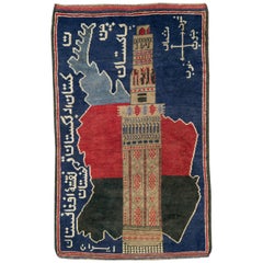
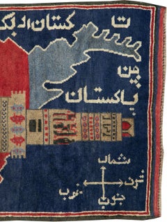
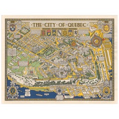
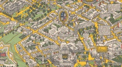
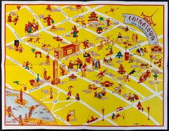
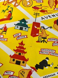
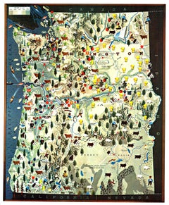
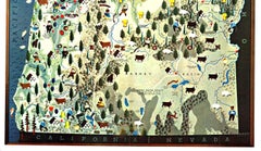
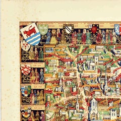
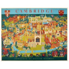
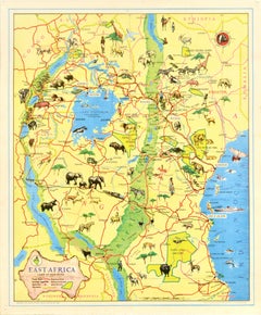
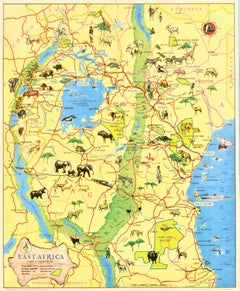
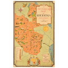
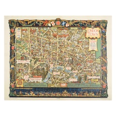
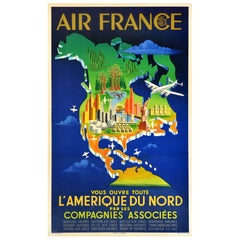
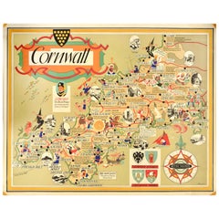
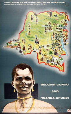
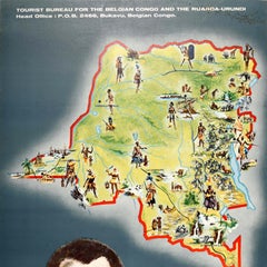
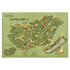
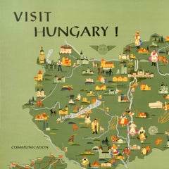
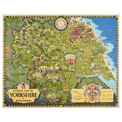
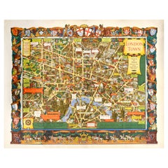
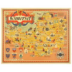
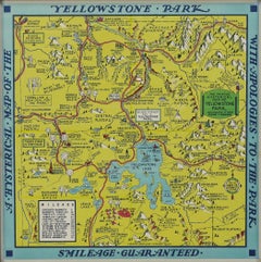
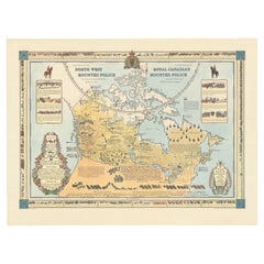
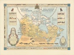
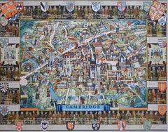
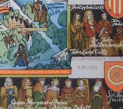
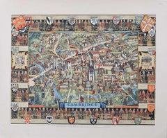
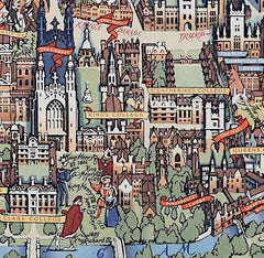
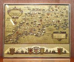
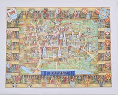
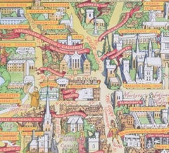
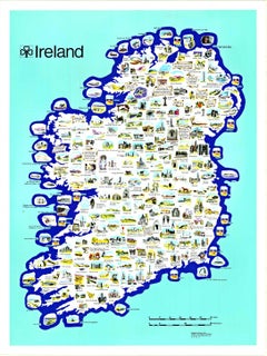
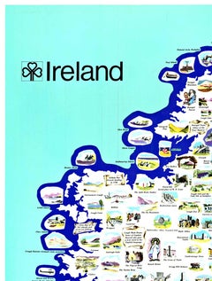
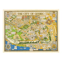
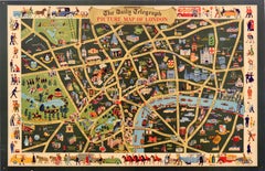
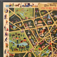
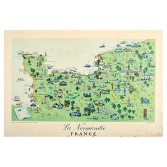
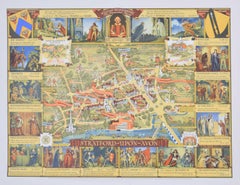
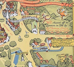
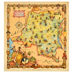
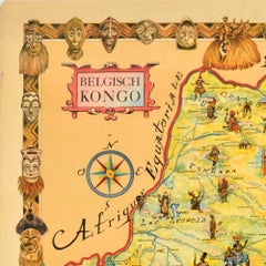
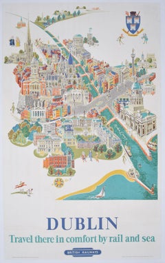
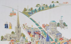
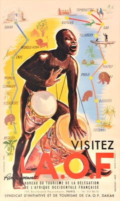
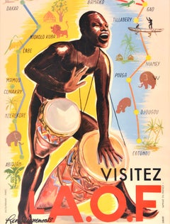
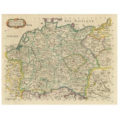
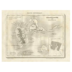
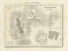
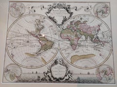
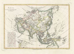
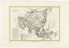
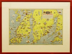
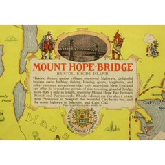
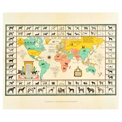
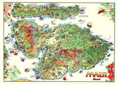
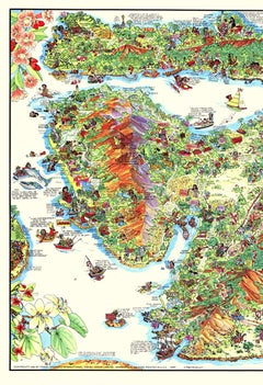
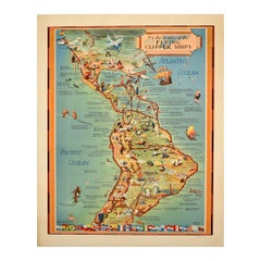
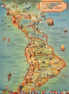
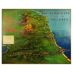
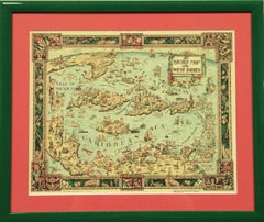
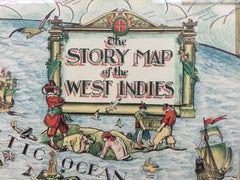
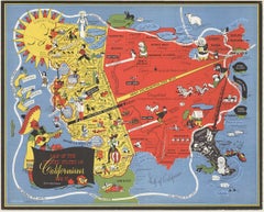
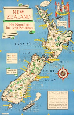
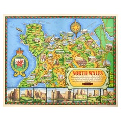
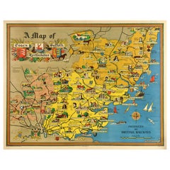
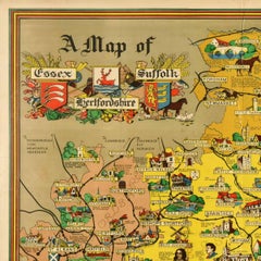
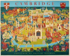
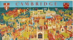
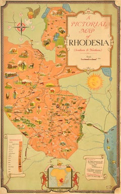
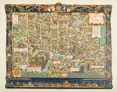
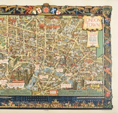
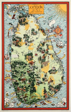
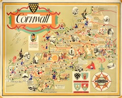
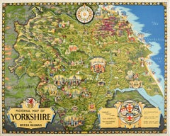
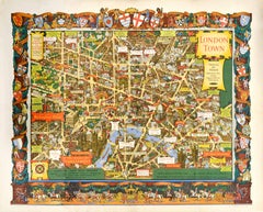
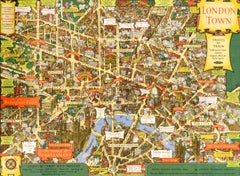
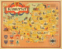
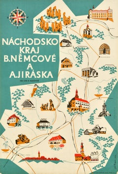
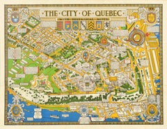
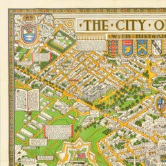
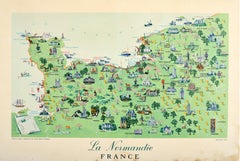
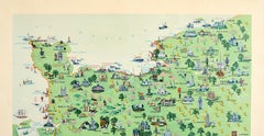
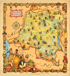
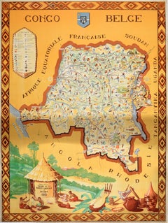
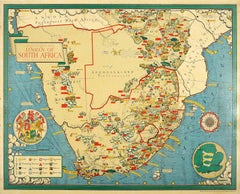
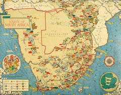
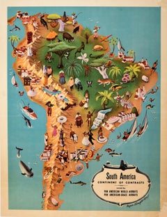
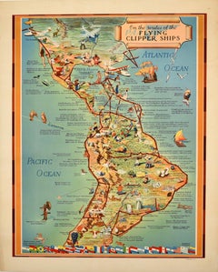
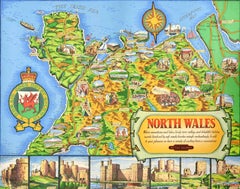
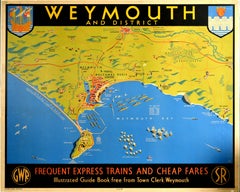
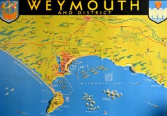
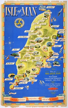
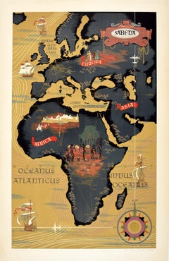
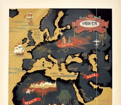
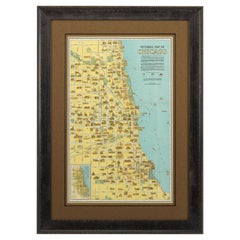
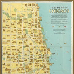
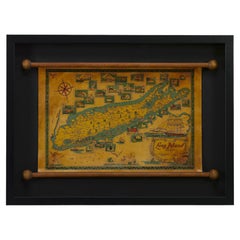
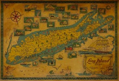
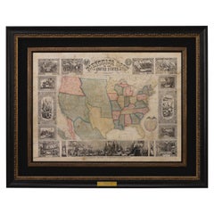
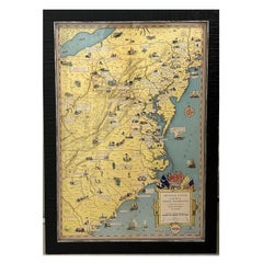
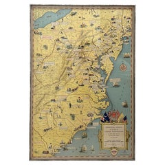
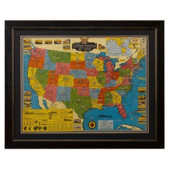
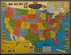
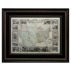
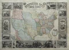
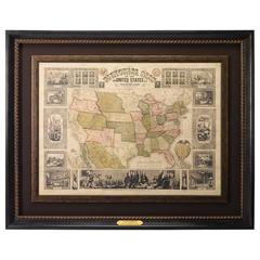
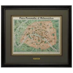
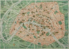
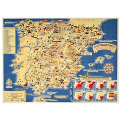
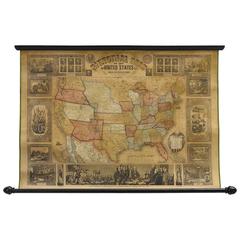
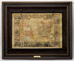
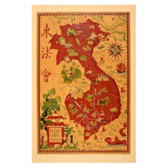
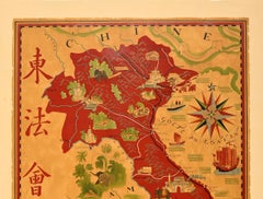
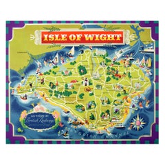
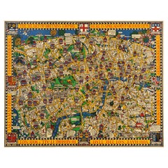
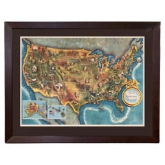
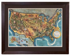
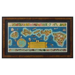
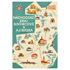
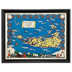
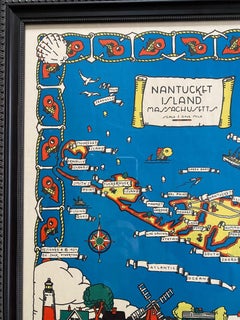
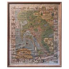
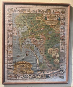
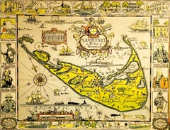
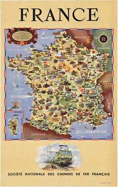
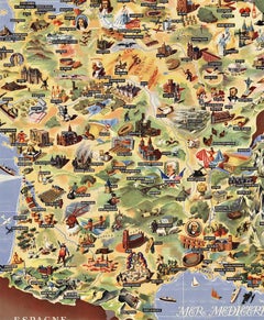
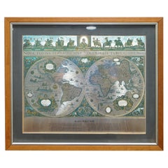
With a vast inventory of beautiful furniture at 1stDibs, we’ve got just the pictorial map you’re looking for. Each pictorial map for sale was constructed with extraordinary care, often using paper, fabric and gold leaf. Whether you’re looking for an older or newer pictorial map, there are earlier versions available from the 19th Century and newer variations made as recently as the 20th Century. When you’re browsing for the right pictorial map, those designed in 
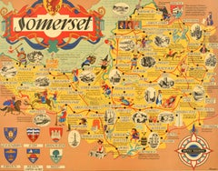
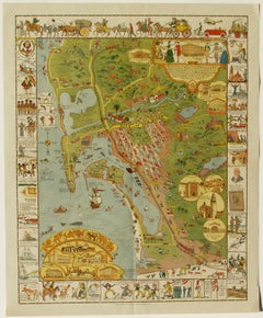
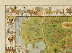
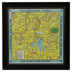
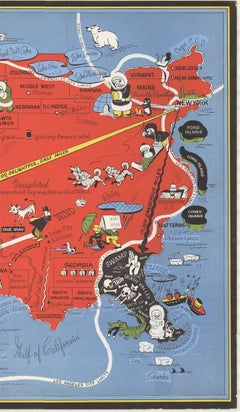
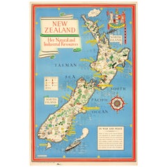
Folk Art styles are of considerable interest. A well-made pictorial map has long been a part of the offerings for many furniture designers and manufacturers, but those produced by 
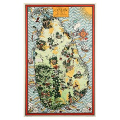
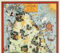
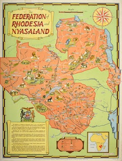
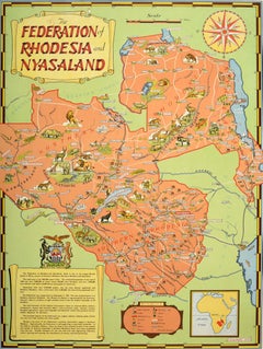
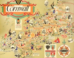
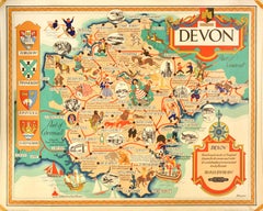
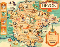
Kerry Lee are consistently popular.

How Much is a Pictorial Map?

The average selling price for a pictorial map at 1stDibs is $2,482, while they’re typically $389 on the low end and $18,500 for the highest priced.