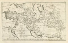
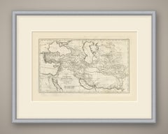
Alexander the Great's Expedition to the Indus, d'Anville Map, 1818
Located in Langweer, NL
An original copper engraved map, uncolored, of the lands crossed by Alexander the Great.
Category
Antique Early 19th Century French Maps
Materials
Paper
Alexander the Great's Expedition to the Indus, d'Anville Map, 1818
Located in Langweer, NL
An original copper engraved map, uncolored, of the lands crossed by Alexander the Great.
Paper
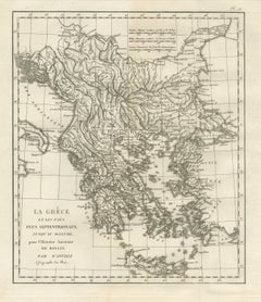
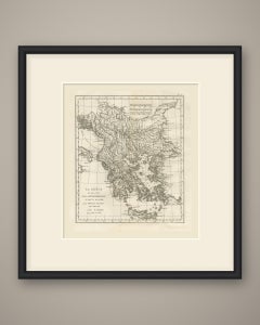
Ancient Greece and the Balkans to the Danube, d'Anville Rollin Atlas, 1818
Located in Langweer, NL
An original copper engraved map, uncolored, of ancient Greece and the lands north of it as far as the Danube.
Paper
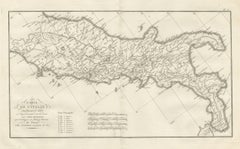
Roman Roads of Ancient Italy, d'Anville Voies Romaines Map, 1818
Located in Langweer, NL
An original copper engraved map, uncolored, of ancient Italy drawn to show the Roman roads.
Paper
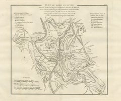
Plan of Ancient Rome with the Fourteen Augustan Regions, d'Anville, 1818
Located in Langweer, NL
An original copper engraved town plan, uncolored, of ancient Rome.
Paper
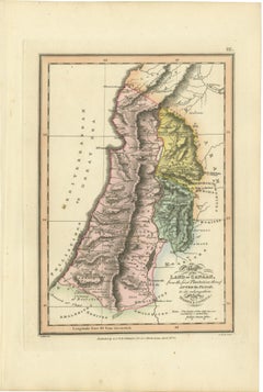
Canaan from the Flood to Moses and Joshua, Antique Hand-Colored Map, 1823
Located in Langweer, NL
This is an original antique copper engraved map with original hand coloring, published in 1823 as plate III of James Wyld's Geographia Sacra, or Scripture Atlas.
Paper
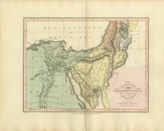
The Exodus Route from Egypt to Canaan, Antique Wyld Map, 1823
Located in Langweer, NL
This is an original antique copper engraved map with original hand coloring, published in 1823 as plate V of James Wyld's Geographia Sacra, or Scripture Atlas.
Paper


Naval Commanders of Zeeland – Gelein & Kornelis Evertsen, Adriaan Bankert, c1750
Located in Langweer, NL
A cream or off-white mount with a thin gold inner line will enhance the portraits’ elegance and bring out the fine engraved detail. Technique: Copper engraving Maker: Unknown Dutch ...
Paper


Burmese Monk in His Religious Robe – Antique Costume Print, circa 1800
Located in Langweer, NL
A float-mount presentation will emphasize the refined vertical composition and engraved border. Technique: Copper engraving Maker: Anonymous Dutch engraver, Netherlands, circa 1800
Paper


California Indigenous Dress & Fishing Rafts – Early Ethnographic Engraving 1754
Located in Langweer, NL
Technique Copper engraving Maker Engraved for John Millar, London, c.1754
Paper

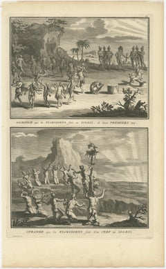
Antique Print of Natives in Florida Making Offerings to the Sun God, ca.1730
Located in Langweer, NL
Description: Antique print titled 'Sacrifice que les Floridiens sont au Soleil, de leurs Premiers nez' and 'Ofrande que les Floridiens sont d'un Cerf au soleil'. Two copper engrave...
Paper
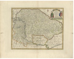
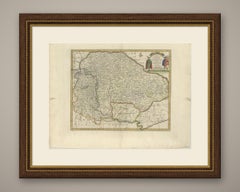
Antique Map of Hungary and Transylvania by Emanuel Bowen, 1747
Located in Langweer, NL
An original antique copper engraved map with original hand color, 1747, of Hungary and Transylvania by Emanuel Bowen.
Paper

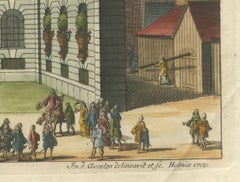
Baroque Dignity: Tessin Palace in Stockholm Captured by J. van den Aveelen, 1702
Located in Langweer, NL
Given the detailed baroque architecture and the surrounding activity, the palace is presented not only as a private residence but also as a fixture of public life. More about the en...
Paper
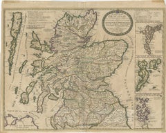
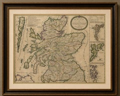
Antique Map of Scotland by Nolin and Coronelli with Island Insets, 1689
Located in Langweer, NL
TITLE: Antique Map of Scotland by Nolin and Coronelli with Island Insets, 1689 DESCRIPTION: Original antique copper-engraved map of Scotland by Jean-Baptiste Nolin after the celebra...
Paper


Exotic Pigeons: Hand-Colored Engravings from the Seligmann Edition, c.1770
Located in Langweer, NL
These engravings are produced using copperplate etching, a method where the image is engraved onto a copper plate, printed, and then hand-colored with fine watercolors.
Paper
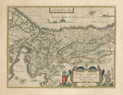
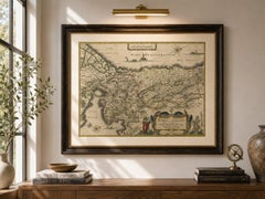
Antique Blaeu Holy Land Map – Terra Sancta Palestina, 1629
Located in Langweer, NL
This richly detailed copper-engraved map, titled Terra Sancta quae in Sacris Terra Promissionis olim Palestina, is among the most decorative and sought-after Holy Land maps produced ...
Paper


$211Sale Price|50% Off
Original Old Antique Print Showing the True Euphorbium, 1737
Located in Langweer, NL
She collaborated with her botanist husband while he was in debtor's prison and with the curator of the Chelsea Physick Garden where the plants were under cultivation. She engraved th...
Paper
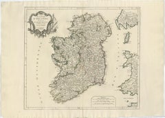
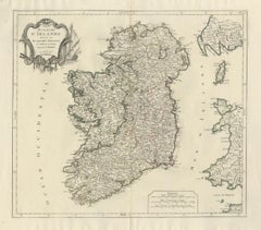
Ireland Antique Map – Royaume d’Irlande, De Vaugondy, Venice 1778
Located in Langweer, NL
UV glass is advised to preserve the original coloring. Technique: Copper engraving with contemporary outline coloring Maker: Robert de Vaugondy, published by Paolo Santini, Venice, ...
Paper

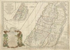
Holy Land Map of the Twelve Tribes of Israel, After Sanson, Paris c.1798
Located in Langweer, NL
No major loss to the engraved image. Dimensions: 490 × 690 mm (approx. 19.3 × 27.2 inches) Technique: Copper engraving with contemporary outline hand-coloring Maker: After Nicolas ...
Paper
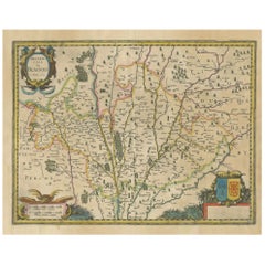
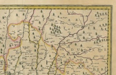
Map of Blaisois by Janssonius, 1633, Decorative Antique Map of Loire Valley
Located in Langweer, NL
Condition Report: Good condition. Hand-colored copper engraving. Some toning to the paper edges and a water stain in the lower right margin, not affecting the engraved area.
Paper
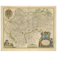
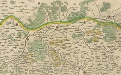
Beautiful 17th Century Map of Paris and Isle de France by Templeux, c.1650
Located in Langweer, NL
Keywords: Isle de France antique map, Paris region map 1650, French royal map, Île-de-France map Templeux, 17th century map France, decorative baroque map, antique map of Paris, map ...
Paper
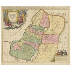
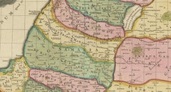
Judaea or Terra Sancta, Twelve Tribes of Israel – Sanson Map, c.1680
Located in Langweer, NL
Decoratively, the map is distinguished by a large allegorical cartouche in the upper left, featuring classical figures presenting the title within drapery, as well as an additional d...
Paper
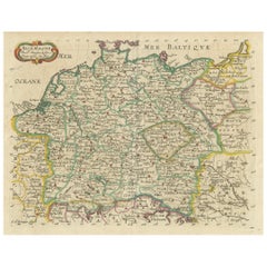
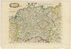
Decorative Hand-Colored Map of Germany by Nicolas Sanson, 1648
Located in Langweer, NL
Published in 1648 in Paris, it was engraved by Abraham Peyrounin. This copper-engraved double-page map is part of Sanson's *Atlas of Europe*, dedicated to Michel Le Tellier.
Paper

$310Sale Price|20% Off
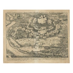
Battle of Wimpfen, 1622: Engraving by Matthäus Merian (ca. 1645)
Located in Langweer, NL
Title: Battle of Wimpfen, 1622: Engraving by Matthäus Merian (ca. 1645) Description: This antique copper engraving, created by the renowned Swiss-German engraver Matthäus Merian aro...
Paper


18th Century Playing Cards by David Weege, 1758
Located in Delft, NL
18th Century Playing Cards by David Weege, 1758 27 pieces of copper engraved playing cards, framed behind glass, made by David Weege 27 pieces copper engraved playing cards as well ...
Glass, Paper
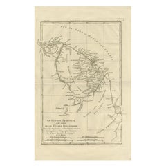
French Guiana & Suriname – Rigobert Bonne’s Colonial Map of the Guianas, c.1780
Located in Langweer, NL
Keyword block: Antique Caribbean map, Antilles map 18th century, Gulf of Mexico antique map, Rigobert Bonne, French colonial cartography, copper engraved map, maritime history map, E...
Paper
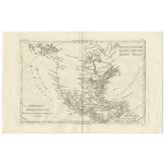
North America & the Pacific – Rigobert Bonne’s Enlightenment Map, c.1780
Located in Langweer, NL
Keyword block: Antique North America map, Rigobert Bonne, 18th century America map, French Enlightenment cartography, Canada and Louisiana map, Pacific coast antique map, colonial Am...
Paper
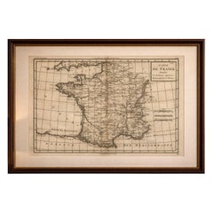
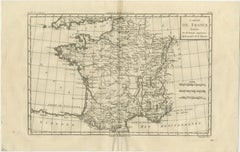
France at the Age of Enlightenment – Rigobert Bonne Antique Map, c.1780
Located in Langweer, NL
Keyword block: Antique map of France, Rigobert Bonne, Enlightenment cartography, 18th century French map, copper engraved map, historical France, European antique map, Paris cartogra...
Paper

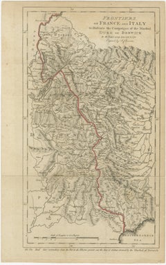
Frontiers of France and Italy – Duke of Berwick Campaigns Map, 1707–1712
Located in Langweer, NL
A simple dark wood or black frame complements the map’s sober military character. Technique: Copper engraving Maker: Engraved by I. Cheevers Date: circa 1712
Paper


$2,628Sale Price|20% Off
Große Historismus-Prunkvase aus Kupfer und Bronze
Located in Aachen, DE
Seltene große Prunkvase in Kupfer und vergoldeter Bronze, wohl um 1870, möglicherweise Frankreich oder Russland. Auf der versilberten Kupferguss-Kartusche Darstellung einer mit Gewa...
Bronze, Copper, Tin
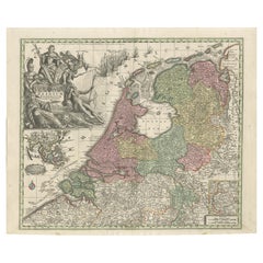
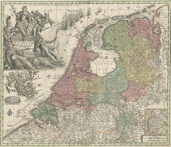
Dutch Republic & East Indies, Belgium Foederatum Map by Seutter, 18th Century
Located in Langweer, NL
The inclusion of the East Indies makes this map especially relevant for collectors and interiors with a connection to Dutch colonial or Asian history. Engraved on copper and printed...
Paper

$297Sale Price|20% Off
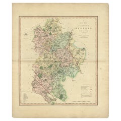
Antique Colourful and Decorative County Map of Bedfordshire, England, 1804
Located in Langweer, NL
His maps were finely engraved on copper and featured beautiful hand colouring.
Paper

$297Sale Price|20% Off
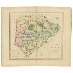
Antique Hand-Colored County Map of Rutland, England, 1804
Located in Langweer, NL
His maps were finely engraved on copper and featured beautiful hand colouring.
Paper
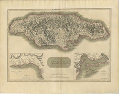
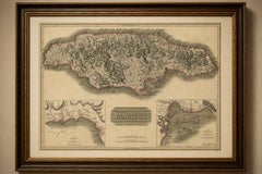
Jamaica Map by John Thomson, Kingston & Port Royal Harbors, c.1817
Located in Langweer, NL
This detailed copper-engraved map presents the entire island with remarkable clarity, illustrating Jamaica’s mountainous interior, coastal settlements, road networks, rivers, and par...
Paper

$297Sale Price|20% Off
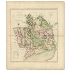
Antique County Map of Monmouthshire, England, circa 1804
Located in Langweer, NL
His maps were finely engraved on copper and featured beautiful hand colouring.
Paper
$297Sale Price|20% Off
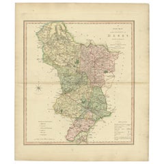
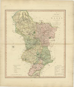
Antique County Map of Derbyshire, England, 1804
Located in Langweer, NL
His maps were finely engraved on copper and featured beautiful hand colouring.
Paper
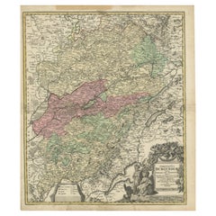
Antique Map of the County of Burgundy by Johann Baptist Homann circa 1710
Located in Langweer, NL
Created by the prominent German cartographer Johann Baptist Homann in the early 18th century, this copper-engraved map presents an intricate representation of the area, including its...
Paper

$297Sale Price|20% Off
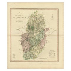
Antique Decorative Map of The County of Nottinghamshire, England, 1804
Located in Langweer, NL
His maps were finely engraved on copper and featured beautiful hand colouring.
Paper
$297Sale Price|20% Off
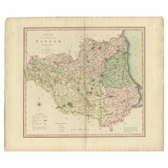
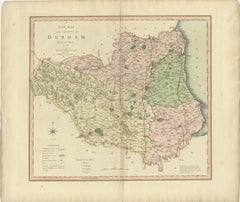
Original Hand-Colored Antique County Map of Durham, England, 1804
Located in Langweer, NL
His maps were finely engraved on copper and featured beautiful hand colouring.
Paper
Phoenician Trade Routes – Antique Map of Europe and the Mediterranean, 1748
Located in Langweer, NL
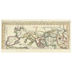
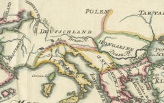
Created around 1748 by Kreitz, this copper-engraved map was published to illustrate the extent of Phoenician trade and exploration, which flourished from around 1500 to 300 BCE.
Paper
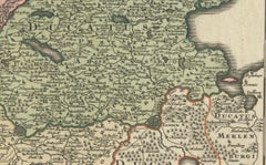
Historical Map of Holstein - Copperplate Engraving by Matthias Seutter, ca. 1730
Located in Langweer, NL
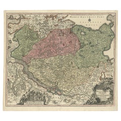
The map image was first engraved in reverse onto a copper plate, then inked and pressed onto paper.
Paper
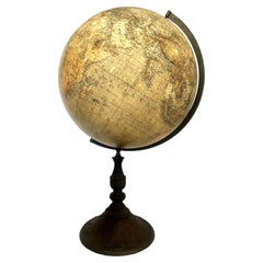

Rare German 1879 Dietrich Reimer Terrestrial Globe
Located in San Francisco, CA
The topography was drawn and engraved by hand onto copper plates before being printed onto flat paper gores.
Metal
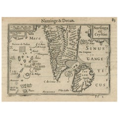
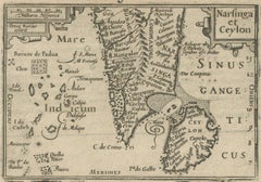
1616 Petrus Kaerius Map of Southern India and Ceylon – Narsinga et Ceylon
Located in Langweer, NL
Title: 1616 Petrus Kaerius Map of Southern India and Ceylon – Narsinga et Ceylon This rare early 17th-century copper engraved map titled 'Narsinga et Ceylon' was created by Petrus K...
Paper
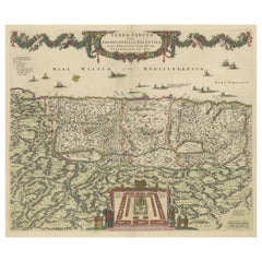
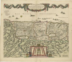
Frederic de Wit Map of Palestine – Terra Sancta, Amsterdam c.1670
Located in Langweer, NL
Terra Sancta sive Promissionis, olim Palestina – hand-coloured copper-engraved map of the Holy Land by Frederic de Wit, Amsterdam, circa 1670 This impressive folio sheet, bearing th...
Paper
$297Sale Price|20% Off
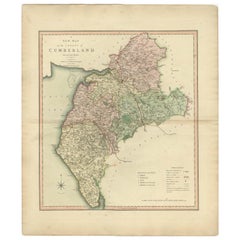
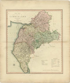
Antique Decorative and Detailed County Map of Cumberland, England, 1804
Located in Langweer, NL
His maps were finely engraved on copper and featured beautiful hand colouring.
Paper

$297Sale Price|20% Off
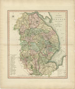
Antique Decorative County Map of Lincolnshire, England, 1804
Located in Langweer, NL
His maps were finely engraved on copper and featured beautiful hand colouring.
Paper
$297Sale Price|20% Off
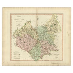
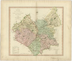
Antique County Map of Leicestershire, England, 1804
Located in Langweer, NL
His maps were finely engraved on copper and featured beautiful hand colouring.
Paper
$297Sale Price|20% Off
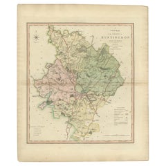
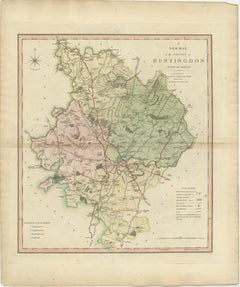
Antique Decorative County Map of Huntingdonshire, England, 1804
Located in Langweer, NL
His maps were finely engraved on copper and featured beautiful hand colouring.
Paper

$297Sale Price|20% Off
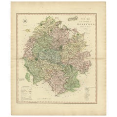
Original Hand-Colored Antique Map of the County of Hereford in England, 1804
Located in Langweer, NL
His maps were finely engraved on copper and featured beautiful hand colouring.
Paper


"Godolphin" Heraldic Coat of Arms by "Catton's English Peerage", circa 1790
By Charles Catton
Located in West Palm Beach, FL
"Catton's English Peerage" a copper engraved, hand colored heraldic coat of arms drawn by Charles Catton and engraved by Francis Chesham.
Paint, Paper
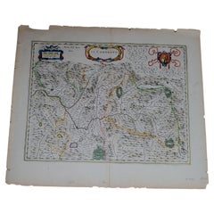
1571-1638 Willem Blaeu map entitled, "Ilcadorino, " Hand Colored Ric0009
Located in Norton, MA
Description: large, unusual, and nice antique copper engraved map of Ilcadorino, by Willem BLAEU (1571-1638), XVIIe century.
Paper
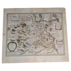
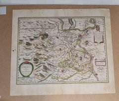
1627 Hondius Map "La Principaute d'Orange et Comtat de Ve", Ric.0003
Located in Norton, MA
However, the title cartouche declares that the map was engraved in 1627. The additional cartouche in the upper right corner reveals that it was published by both Hondius brothers, Jo...
Paper
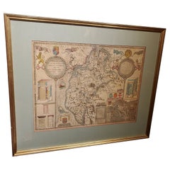
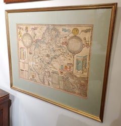
Framed 17th Century Map of Cumberland, England by John Speed, 1610
By John Speed
Located in Middleburg, VA
A fascinating and richly detailed antique map of Cumberland County in northwest England, drawn and published by the celebrated English cartographer John Speed, dated 1610. This early...
Copper, Gold Leaf
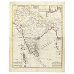
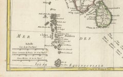
Map of India and Ceylon with Inset of Calcutta and the Ganges, by Bonne, 1780
Located in Langweer, NL
Condition and Production: - Being a copperplate engraving, this map would have been meticulously engraved on a copper sheet before being inked and pressed onto paper, which often ...
Paper


1612 Portrait of a man with two Gnadenpfennigs, likely Wilhelm Daser (1566-1639)
Located in UTRECHT, UT
Lorenz Strauch (1554-1630) was a Nuremberg painter and copper engraver who focused mainly on portraiture.
Copper
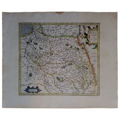
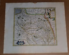
1590 Mercator Map Entitled "France Picardie Champaigne, Ric.0001
Located in Norton, MA
(Map of the french provinces of Picardie and Champagne.) Copper engraved map of the french provinces of Picardie and Champagne, showing the cities of Caen, Paris, Melun, Auxerre, Ver...
Paper
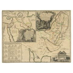
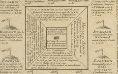
Old Map of Arabian Peninsula and Canaan, Highlighting Biblical Territories, 1750
Located in Langweer, NL
This antique map, titled "Terre de Chanaan ou Terre Promise a Abraham," is a finely detailed copper-engraved map created around 1750 by Delamarche in Paris, based on earlier works by...
Paper


Signed Stevens & Williams Five-Piece Wheel Cut Centerpiece or Epergne
By Stevens & Williams
Located in Great Barrington, MA
Each vase has all-over copper wheel engraved decoration, twist stem and applied handles.
Crystal
$68,568Sale Price|20% Off
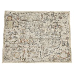
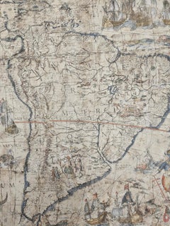
One of the most influential maps of America ever made, 17th Century Willem Blaeu
By Willem Blaeu
Located in ZWIJNDRECHT, NL
It appears that these borders were engraved on separate copper plates and were not always included.
Paper, Linen

$274Sale Price|20% Off
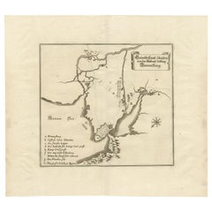
Plan of Vänersborg, Sweden – Antique Map by Merian, c.1680 Theatrum Europaeum
Located in Langweer, NL
Plan of Vänersborg, Sweden – Antique Map by Merian, c.1680 Theatrum Europaeum Antique map titled 'Grundtriss und Situation von der Statt und Vöstung Wennersburg'. This early coppe...
Paper
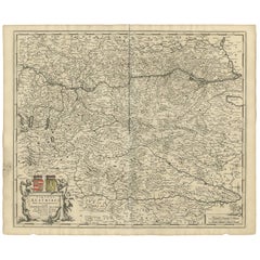
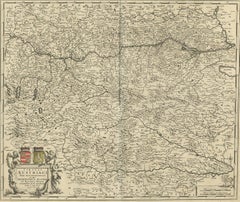
Decorative Antique Map of Austria – Frederick de Wit, Amsterdam c.1690
Located in Langweer, NL
Framing tips: A dark wooden frame with gilt inner border would emphasize the Baroque cartouche, while a cream or light tan archival mat will enhance the contrast of the engraved deta...
Paper