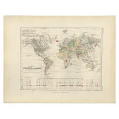
Antique Geological Map of the World by Johnston '1850'
Located in Langweer, NL
Antique map titled 'The Geological Structure of the Globe'.
Category
Antique Mid-19th Century Maps
Materials
Paper
Antique Geological Map of the World by Johnston '1850'
Located in Langweer, NL
Antique map titled 'The Geological Structure of the Globe'.
Paper
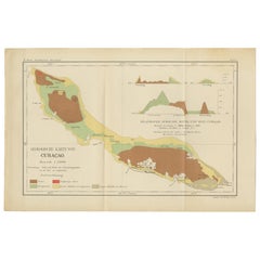

Antique Geological Map of Curaçao - Hand Colored Dutch Caribbean, 1888
Located in Langweer, NL
Technique: Lithograph Maker: Karl Martin, Leiden, 1888 Keywords: Curaçao geological map Antique Curaçao map 1888 Dutch West Indies map Caribbean geology map Karl Martin Leiden E J B...
Paper
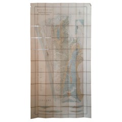

Large Topographical and Geological Map of the Teshio Oil Field, '1936'
Located in Langweer, NL
Topographical and geological map of the Teshio oil field. Shows location of oil well, oil sand, natural gas, coal, Sulphur spring, anticlinal axis, profile line, and fault line.
Linen, Paper
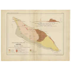

Antique Geological Map of Aruba - Dutch West Indies by Karl Martin, 1888
Located in Langweer, NL
Technique: Lithograph Maker: Karl Martin, Leiden, 1888 SEO Keyword Block Aruba geological map Antique Aruba map 1888 Dutch West Indies map Caribbean geology map Karl Martin Leiden E...
Paper
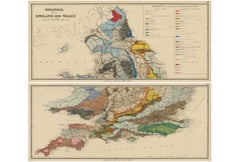
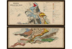
Antique Geological Map of England & Wales, Hand-Colored, c.1880
Located in Langweer, NL
Title: 1880 Geological Map of England & Wales, Complete Two-Sheet Set This remarkable original Victorian geological map set presents the complete geological structure of England and...
Paper
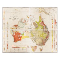

Impressive Geological Map of Australia – Rare Oversized Wall Display, 1931–32
Located in Langweer, NL
Geological Map of the Commonwealth of Australia by Sir Edgeworth David, 1931–32 Large and highly detailed geological map of the Commonwealth of Australia, compiled under the directi...
Linen, Paper
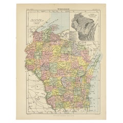

Antique Map of Wisconsin with Inset Geological Map of Wisconsin
Located in Langweer, NL
With inset geological map of Wisconsin. This print originates from 'Encyclopaedia Britannica', Ninth Edition.
Paper
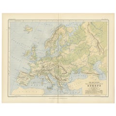

Geological Map of Europe by A.K. Johnston – Mountains and Valleys 1852
Located in Langweer, NL
Rather than showing countries, the map categorizes the land by geological and geomorphological features.
Paper
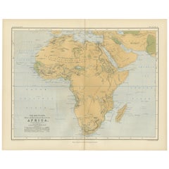

Geological Map of Africa by A.K. Johnston – Mountains and Valleys 1852
Located in Langweer, NL
Geological Map of Africa by A.K. Johnston – Mountains and Valleys 1852 This antique map titled "The Mountains, Table Lands, Plains & Valleys of Africa" was produced by the distingui...
Paper
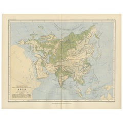
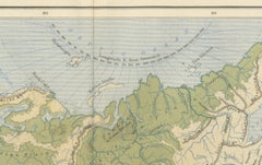
Geological Map of Asia by A.K. Johnston – Mountains and Valleys 1852
Located in Langweer, NL
Geological Map of Asia by A.K. Johnston – Mountains and Valleys 1852 This finely engraved and hand-colored map titled "The Mountains, Table Lands, Plains & Valleys of Asia" was crea...
Paper
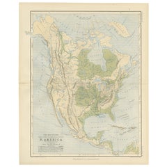
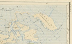
Geological Map of North America by A.K. Johnston – Mountains and Valleys 1852
Located in Langweer, NL
Geological Map of North America by A.K. Johnston – Mountains and Valleys 1852 This finely detailed and beautifully shaded antique map titled "The Mountains, Table Lands, Plains & Va...
Paper
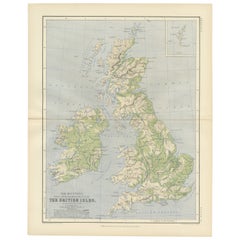
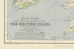
Geological Map of the British Isles by A.K. Johnston – Highlands & Valleys 1852
Located in Langweer, NL
Geological Map of the British Isles by A.K. Johnston – Highlands & Valleys 1852 This antique topographic map titled "The Mountains, Table Lands, Plains & Valleys of the British Isle...
Paper
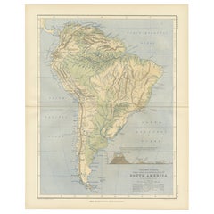
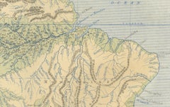
Geological Map of South America by A.K. Johnston – Mountains and Valleys 1852
Located in Langweer, NL
Geological Map of South America by A.K. Johnston – Mountains and Valleys 1852 This antique map titled "The Mountains, Table Lands, Plains & Valleys of South America" was produced by...
Paper
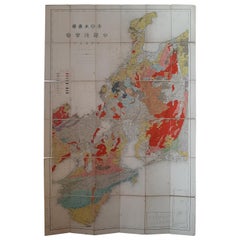
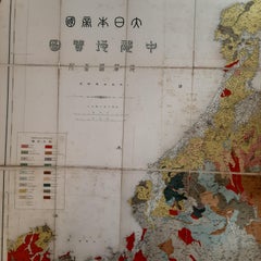
Antique Map of the Region of Wakayama, Nara and Osaka 'Japan', ca.1880
Located in Langweer, NL
Geological folding map of the area with Wakayama, Nara, Osaka, Mie, and Shiga in Japan, circa 1880: This map is a geological folding map, which means it was designed to be portable ...
Linen, Paper
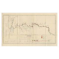
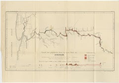
Antique Geological Survey Map of Surinam 1888 Hand Colored, Rare
Located in Langweer, NL
Antique Geological Survey Map of Surinam 1888 Hand Colored This impressive hand-colored geological survey map of Surinam was published in 1888 as part of Karl Martin’s monumental sc...
Paper
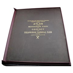
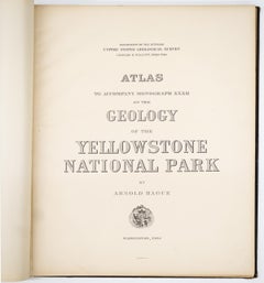
"Atlas to Accompany Monograph XXXII on the Geology of Yellowstone National Park"
By United States Geological Survey
Located in Colorado Springs, CO
Mapped in the field by Hague and his team and then printed by Julius Bien in Washington, D.C., this atlas of Yellowstone National Park features a series of topographical maps with ge...
Leather, Fabric, Paper
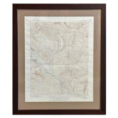
Vintage "Colorado, Crested Butte Sheet" USGS Topographical Map, 20th Century
By United States Geological Survey
Located in Colorado Springs, CO
Presented is a vintage "Colorado, Crested Butte Sheet" topographical map, first published by the United States Geological Survey.
Paper
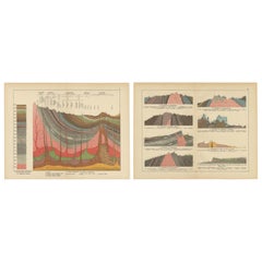
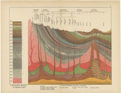
Decorative Antique Geological Cross-Sections – Earth & Mountains, c.1880
Located in Langweer, NL
Antique Geological Cross-Sections – Structure of the Earth & European Mountains, c.1880 This pair of original lithographs originates from Schubert’s Naturgeschichte, a richly illust...
Paper
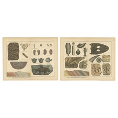
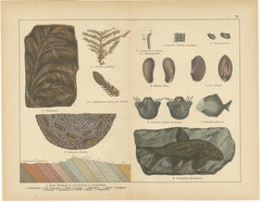
Decorative Vintage Fossil Prints – Triassic Plants, Reptiles, Fish, Geology 1880
Located in Langweer, NL
Antique Fossil Prints – Triassic Plants, Reptiles & Fish with Geological Sections, c.1880 This pair of original lithographs comes from Schubert’s Naturgeschichte, a richly illustrat...
Paper
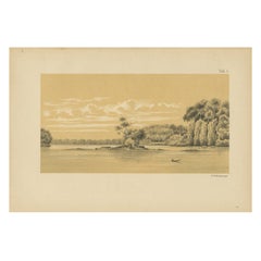
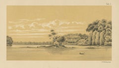
Tafra Island in Suriname - A Romantic River Landscape by Karl Martin, 1888
Located in Langweer, NL
This print works beautifully as a standalone wall piece and also pairs exceptionally well with Martin’s geological maps of Curaçao, Aruba, and Bonaire as part of a cohesive Dutch Wes...
Paper
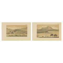
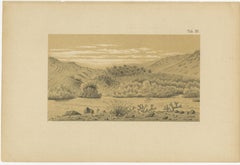
Aruba Landscape & Mountain Views - Dutch West Indies by Karl Martin, 1888
Located in Langweer, NL
This matched pair displays beautifully as a horizontal diptych and also pairs exceptionally well with Martin’s geological maps of Aruba, Curaçao, and Bonaire as part of a cohesive AB...
Paper
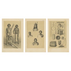
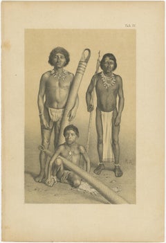
Suriname Indigenous People & Tribal Objects - Ethnographic Lithographs 1888
Located in Langweer, NL
This three-sheet set displays beautifully as a powerful gallery grouping and also pairs exceptionally well with Martin’s Suriname landscapes, Tafra Island view, and ABC Islands geolo...
Paper
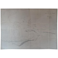
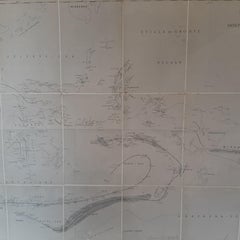
Large Antique Map of the East Indies by Brouwer, 1917
Located in Langweer, NL
(Yearbook of Mining in the Dutch East Indies), published in 1917, the map offers a comprehensive geological overview of this region.
Canvas, Paper
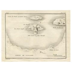
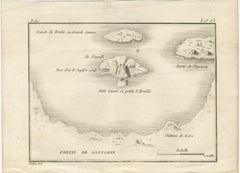
Map of the Volcano Islands of Santorini – Antique Engraving by Portier, ca.1790
Located in Langweer, NL
The fine linework and delicate shading typical of Portier’s style capture both the form of the islands and the dramatic volcanic activity, making it an appealing piece for collectors...
Paper

$3,243Sale Price / item|20% Off
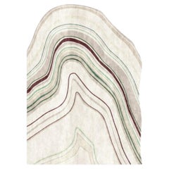
ELDRIDGE – Custom Handmade Rug in TENCEL / New Zealand Wool by Rugs & Co.
Located in Miami, FL
Lines in deep green, wine, and cream twist into themselves, as if born from a geological map of a stratified city. The rug is handwoven with attention to form flow, rich color combin...
Wool
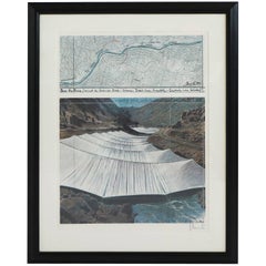
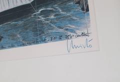
Christo and Jeanne-Claude and Christo Signed in Christo in Crayon Lithograph
By Christo and Jeanne-Claude
Located in Chicago, IL
The art work shows the fabric panels and the geological map. Includes frame.
Paper
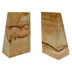
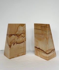
1970s Mid Century Architectural Tapered Picture Jasper Bookends - A Pair
Located in Farmington Hills, MI
The stone’s organic veining and subtle fissures read like drawn lines across a geological map, making each side visually engaging from every angle.
Stone
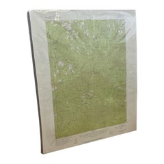
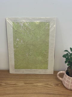
Vintage Central Oregon Geological Topographical State Map.Circa 1955.
Located in Seattle, WA
This Map was made by the US Department of the Interior as a Geological Survey.
Paper
$4,240Sale Price|20% Off
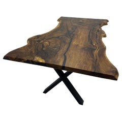
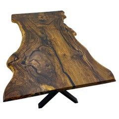
Single Slab Black Walnut Live Edge Dining Table - One Piece Wood Table
Located in İnegöl, TR
This is an extraordinary find: a single, continuous piece of solid wood, prized for its uninterrupted grain that flows like a geological map across the entire surface. The rich, choc...
Epoxy Resin, Wood, Walnut
$4,200Sale Price|20% Off
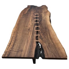
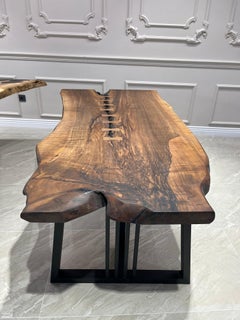
Rare Single Slab Black Walnut Live Edge Dining Table, A Monolithic Centerpiece
Located in İnegöl, TR
This is an extraordinary find: a single, continuous piece of solid wood, prized for its uninterrupted grain that flows like a geological map across the entire surface. The rich, choc...
Epoxy Resin, Wood, Walnut
$6,320Sale Price / item|20% Off
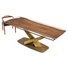
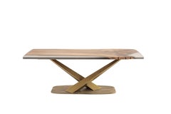
Rare Single Slab Black Walnut Live Edge Dining Table with a Clear Epoxy River
Located in İnegöl, TR
This is an extraordinary find: a single, continuous piece of solid wood, prized for its uninterrupted grain that flows like a geological map across the entire surface. The rich, choc...
Epoxy Resin, Wood, Walnut
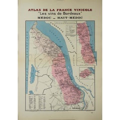
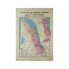
1941 original map "Les vins de Bordeaux - Médoc, Haut-Médoc" by Larmat
By Louis Larmat
Located in PARIS, FR
The Graves and gravelly soils of the region are prominently marked on the map, as these geological features are key to the character of the wines produced here.
Paper, Lithograph
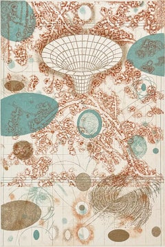
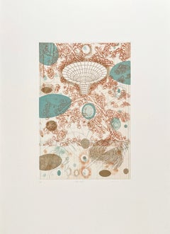
Portal
By Rosalyn Richards
Located in Palm Springs, CA
Images from particle physics, satellite photography, biotechnology, radiology, geological survey maps, have all served as influences on Richards' work.
Etching, Aquatint
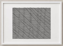
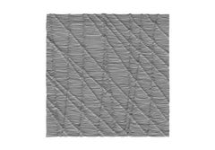
Introversions 34, Abstract Geometric Pattern, Ink Drawing on Paper, 2011
By Julian Teran
Located in Miami, FL
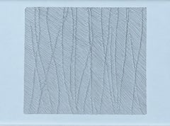
The drawing oscillates between topography and the body: its folds and undulations suggest geological strata, maps, skin and internal landscapes.
Ink
Introversions 2, Contemporary Geometric Pattern, Ink Drawing on Paper, 2011
By Julian Teran
Located in Miami, FL
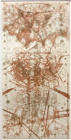
The drawing oscillates between topography and the body: its folds and undulations suggest geological strata, maps, skin and internal landscapes.
Ink
$280Sale Price|20% Off
Rain, Abstract Print, Signed Edition of 15, 11.88x5.88 Inches
By Rosalyn Richards
Located in Palm Springs, CA
Images from particle physics, satellite photography, biotechnology, radiology, geological survey maps, have all served as influences on Richards' work.
Etching, Aquatint


$46,000
"Malibu" the layers of the sea, abstract painting inspired by California blues
By Chase Langford
Located in Edgartown, MA
The monumental painting unfolds as an expansive field of layered, undulating forms—part coastline, part geological cross-section, part imagined map. Its scale allows the eye to trave...
Canvas, Oil
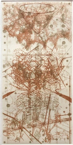
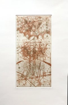
Rain, by Rosalyn Richards
By Rosalyn Richards
Located in Palm Springs, CA
Images from particle physics, satellite photography, biotechnology, radiology, geological survey maps, have all served as influences on Richards' work.
Etching, Aquatint
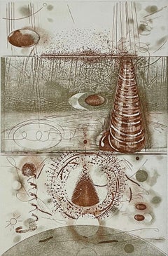

Vapor Trails, by Rosalyn RIchards
By Rosalyn Richards
Located in Palm Springs, CA
Images from particle physics, satellite photography, biotechnology, radiology, geological survey maps, have all served as influences on Richards' work.
Etching, Aquatint
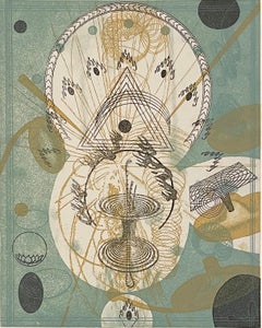
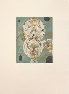
Secret Messenger— Abstract Etching and Aquatint by Rosalyn Richards
By Rosalyn Richards
Located in Palm Springs, CA
Images from particle physics, satellite photography, biotechnology, radiology, geological survey maps, have all served as influences on Richards' work.
Etching, Aquatint
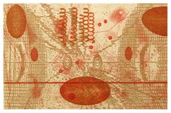
Collision, abstract print in gold and brown tones by Rosalyn RIchards
By Rosalyn Richards
Located in Palm Springs, CA
Images from particle physics, satellite photography, biotechnology, radiology, geological survey maps, have all served as influences on Richards' work.
Etching, Aquatint

Spine, abstract etching in gold and brown by Rosalyn Richards
By Rosalyn Richards
Located in Palm Springs, CA
Images from particle physics, satellite photography, biotechnology, radiology, geological survey maps, have all served as influences on Richards' work.
Aquatint, Etching
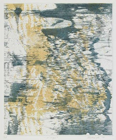
Mirage
By Rosalyn Richards
Located in Palm Springs, CA
Images from particle physics, satellite photography, biotechnology, radiology, geological survey maps, have all served as influences on Richards' work.
Etching, Aquatint
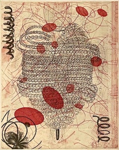
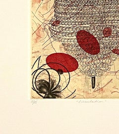
Circulation, by Rosalyn Richards
By Rosalyn Richards
Located in Palm Springs, CA
Images from particle physics, satellite photography, biotechnology, radiology, geological survey maps, have all served as influences on Richards' work.
Etching, Aquatint
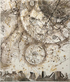
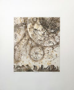
Satellite, by Rosalyn Richards
By Rosalyn Richards
Located in Palm Springs, CA
Images from particle physics, satellite photography, biotechnology, radiology, geological survey maps, have all served as influences on Richards' work.
Etching, Aquatint
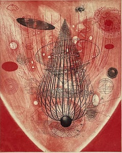

Past Light, by Rosalyn Richards
By Rosalyn Richards
Located in Palm Springs, CA
Images from particle physics, satellite photography, biotechnology, radiology, geological survey maps, have all served as influences on Richards' work.
Etching, Aquatint


Remote Sensing, by Rosalyn Richards
By Rosalyn Richards
Located in Palm Springs, CA
Images from particle physics, satellite photography, biotechnology, radiology, geological survey maps, have all served as influences on Richards' work.
Etching, Aquatint
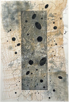

Torn Veil, by Rosalyn Richards
By Rosalyn Richards
Located in Palm Springs, CA
Images from particle physics, satellite photography, biotechnology, radiology, geological survey maps, have all served as influences on Richards' work.
Etching, Aquatint

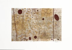
Mirror Pool, by Rosalyn Richards
By Rosalyn Richards
Located in Palm Springs, CA
Images from particle physics, satellite photography, biotechnology, radiology, geological survey maps, have all served as influences on Richards' work.
Etching, Aquatint
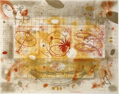

Correlations, by Rosalyn Richards
By Rosalyn Richards
Located in Palm Springs, CA
Images from particle physics, satellite photography, biotechnology, radiology, geological survey maps, have all served as influences on Richards' work.
Etching, Aquatint


Beacon, by Rosalyn Richards
By Rosalyn Richards
Located in Palm Springs, CA
Images from particle physics, satellite photography, biotechnology, radiology, geological survey maps, have all served as influences on Richards' work.
Etching, Aquatint
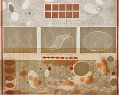
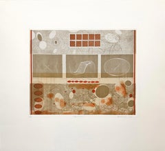
Harmonics, by Rosalyn Richards
By Rosalyn Richards
Located in Palm Springs, CA
Images from particle physics, satellite photography, biotechnology, radiology, geological survey maps, have all served as influences on Richards' work.
Etching, Aquatint
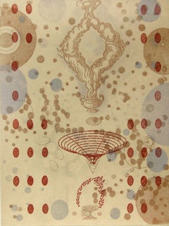

Strange Alchemy, by Rosalyn Richards
By Rosalyn Richards
Located in Palm Springs, CA
Images from particle physics, satellite photography, biotechnology, radiology, geological survey maps, have all served as influences on Richards' work.
Etching, Aquatint
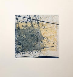
Dispersion, by Rosalyn Richards
By Rosalyn Richards
Located in Palm Springs, CA
Images from particle physics, satellite photography, biotechnology, radiology, geological survey maps, have all served as influences on Richards' work.
Etching, Aquatint
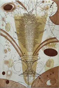
Flame, by Rosalyn Richards
By Rosalyn Richards
Located in Palm Springs, CA
Images from particle physics, satellite photography, biotechnology, radiology, geological survey maps, have all served as influences on Richards' work.
Etching, Aquatint
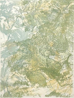
Atmospheric River, abstract print by Rosalyn Richards
By Rosalyn Richards
Located in Palm Springs, CA
Images from particle physics, satellite photography, biotechnology, radiology, geological survey maps, have all served as influences on Richards' work.
Etching, Aquatint
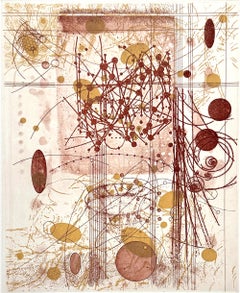
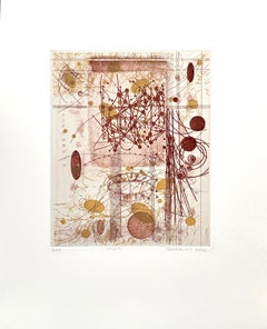
Orbits, by Rosalyn Richards
By Rosalyn Richards
Located in Palm Springs, CA
Images from particle physics, satellite photography, biotechnology, radiology, geological survey maps, have all served as influences on Richards' work.
Etching, Aquatint

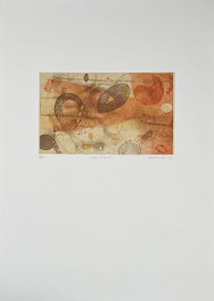
Time Travel, by Rosalyn RIchards
By Rosalyn Richards
Located in Palm Springs, CA
Images from particle physics, satellite photography, biotechnology, radiology, geological survey maps, have all served as influences on Richards' work.
Etching, Aquatint
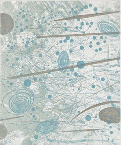

Ebb and Flow, by Rosalyn RIchards
By Rosalyn Richards
Located in Palm Springs, CA
Images from particle physics, satellite photography, biotechnology, radiology, geological survey maps, have all served as influences on Richards' work.
Etching, Aquatint
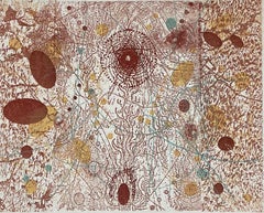
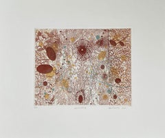
Ascending, etching by Rosalyn Richards
By Rosalyn Richards
Located in Palm Springs, CA
Images from particle physics, satellite photography, biotechnology, radiology, geological survey maps, have all served as influences on Richards' work.
Etching, Aquatint
Unavailable
H 23 in W 52 in
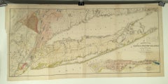
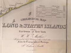
Geological Map of Long & Staten Islands with the Environs of New York
By William W. Mather
Located in New York, NY
Includes parts of Westchester, New Jersey, Rockland County, and the Connecticut Coast. A large inset map in the lower right hand quadrant depicts Manhattan with a special focus on ge...
Lithograph
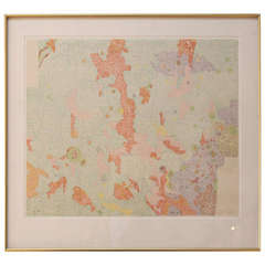
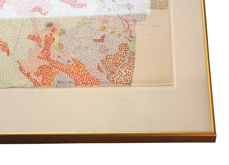
framed color lithograph
By Nancy Stevenson Graves
Located in Los Angeles, CA
nancy stevenson graves color lithograph; based on geological maps of lunar orbiter and apollo landing sites, 1972 this item must be shipped via third party carrier, please contact...
Metal
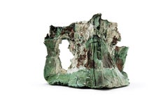
Reclaim No. 2
By Jonathan Mess
Located in Bristol, GB
Visually and metaphorically referencing land, maps, strata, geology, and geography. Process and its evidence have emerged as an essential aspect of this work.
Ceramic
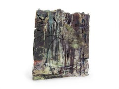
Landfill No.64
By Jonathan Mess
Located in Bristol, GB
Visually and metaphorically referencing land, maps, strata, geology, and geography. Process and its evidence have emerged as an essential aspect of this work.
Ceramic

Sold
H 11.03 in W 14.77 in D 0.01 in
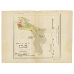
Geological Map of Bonaire - Dutch West Indies by Karl Martin, 1888
Located in Langweer, NL
Especially striking when displayed as part of a triptych with the Aruba and Curaçao maps. Technique: Lithograph Maker: Karl Martin, Leiden, 1888 SEO Keyword Block Bonaire geologica...
Paper
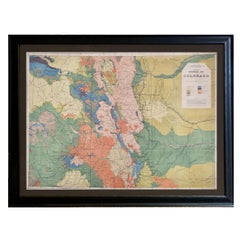
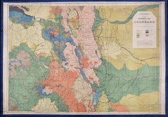
1877 General Geological Map of Colorado by F. V. Hayden
Located in Colorado Springs, CO
Offered is an original “General Geological Map of Colorado” by F. V. Hayden. The map was printed as part of the 1877 “Geological and Geographical Atlas of Colorado and Portions of Ad...
Paper
Sold
H 21.26 in W 36.93 in D 0.79 in
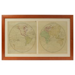
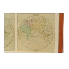
World Map Published in June 1783 by Stackhouse and Engraved by S.J. Neele London
Located in Milan, IT
He worked for prominent cartographers and publishers such as Faden, Laurie, Stackhouse, Thomson and others. He engraved maps for "Lake District Maps" by Crosthwaite (along with Ashby...
Glass, Wood, Paper
1877 "Geological and Geographical Atlas of Colorado" by F. V. Hayden
Located in Colorado Springs, CO
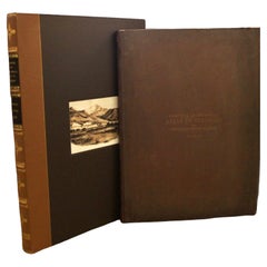
The first series, four sheets, embrace the entire area on a scale of twelve miles to an inch, and include Triangulations, Drainage, an Economic Map, and a General Geological map. The...
Paper
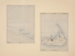
Nantucket Chart Map
Located in Nantucket, MA
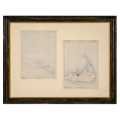
Set of two U.S. geological survey topographical chart maps, one of Nantucket, the other Muskeget & Tuckernuck, circa 1890.
Paper
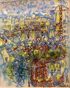
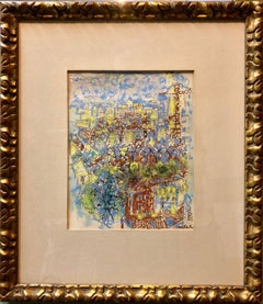
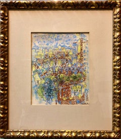
Abstract Expressionist Paris Landscape Painting
By Jacques Yankel
Located in Surfside, FL
In 1949, he was hired by the Colonial Office for the geological map of Gao - Timbuktu - Tabankort in French West Africa .
Paper, Oil Pastel
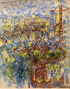
Abstract Expressionist Paris Landscape Painting
By Jacques Yankel
Located in Surfside, FL
In 1949, he was hired by the Colonial Office for the geological map of Gao - Timbuktu - Tabankort in French West Africa .
Paper, Oil Pastel
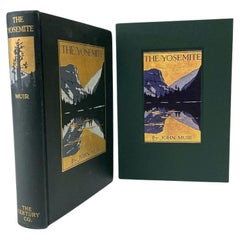

The Yosemite by John Muir, First Edition, in Original Boards, 1912
Located in Colorado Springs, CO
Geological Survey" and "Travel-Guide Map of the Yosemite National Park, California...After Topographic Sheet of Administrative Map of Yosemite National Park by U.S.
Fabric, Paper

Sold
H 11.75 in W 9.13 in D 1.5 in
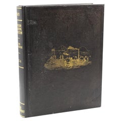
Report upon the Colorado River of the West by Joseph Ives, First Edition, 1861
Located in Colorado Springs, CO
This copy without the two additional maps with added geological information, which were not issued in all copies and are often not present.
Fabric, Paper

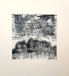
Sprawl, abstract landscape by Rosalyn Richards
By Rosalyn Richards
Located in Palm Springs, CA
Images from particle physics, satellite photography, biotechnology, radiology, geological survey maps, have all served as influences on Richards' work.
Etching, Aquatint
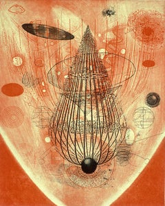
Past Light
By Rosalyn Richards
Located in Palm Springs, CA
Images from particle physics, satellite photography, biotechnology, radiology, geological survey maps, have all served as influences on Richards' work.
Aquatint, Etching
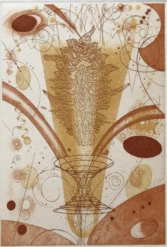

Flame, by Rosalyn Richards
By Rosalyn Richards
Located in Palm Springs, CA
Images from particle physics, satellite photography, biotechnology, radiology, geological survey maps, have all served as influences on Richards' work.
Etching, Aquatint

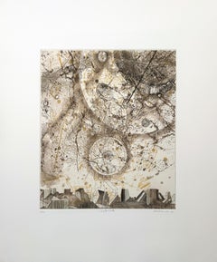
Satellite, by Rosalyn Richards
By Rosalyn Richards
Located in Palm Springs, CA
Images from particle physics, satellite photography, biotechnology, radiology, geological survey maps, have all served as influences on Richards' work.
Etching, Aquatint

Sold
H 21.66 in W 31.11 in D 0.02 in
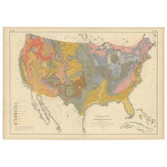
Pl. 13 Antique Geological Map of the United States by Walker, '1874'
Located in Langweer, NL
Antique map titled 'Geological Map of the United States'.
Paper

Sold
H 27.17 in W 16.93 in D 0 in
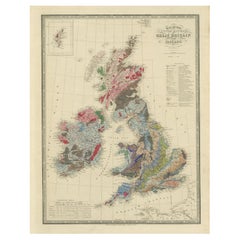
Beneath the Surface: James Wyld's 1844 Geological Map of the British Isles
Located in Langweer, NL
This superb original geological map of the United Kingdom of Great Britain and Ireland by James Wyld, produced in 1844, is a remarkable Victorian artifact.
Paper


Set of Two Onyx Vases, Italy, 1970s
Located in Milan, IT
Set of two onyx vases. A geological map to be hypnotized by.
Onyx
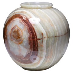
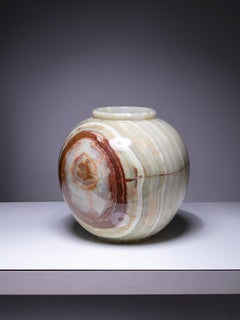
Large Onyx Vase, Italy, 1970s
Located in Milan, IT
Large 70s onyx vase. A geological map to be hypnotized by. Also available a set of two smaller pieces
Onyx
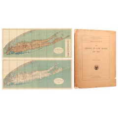

Set of a Book and Two Maps of Long Island, '1914'
Located in Langweer, NL
Topography lines, at 20' intervals, are shown in brown, coastal wetlands in blue, and the Atlantic Ocean and Long Island Sound in green. 3) Geologic Map of Long Island, New York. ...
Paper


Vapor Trails, by Rosalyn RIchards
By Rosalyn Richards
Located in Palm Springs, CA
Images from particle physics, satellite photography, biotechnology, radiology, geological survey maps, have all served as influences on Richards' work.
Etching, Aquatint

Beacon
By Rosalyn Richards
Located in Palm Springs, CA
Images from particle physics, satellite photography, biotechnology, radiology, geological survey maps, have all served as influences on Richards' work.
Etching, Aquatint
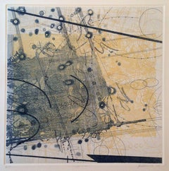
Dispersion
By Rosalyn Richards
Located in Palm Springs, CA
Images from particle physics, satellite photography, biotechnology, radiology, geological survey maps, have all served as influences on Richards' work.
Etching, Aquatint
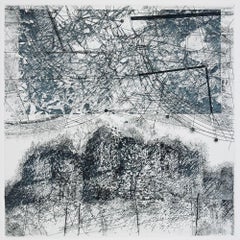
sprawl
By Rosalyn Richards
Located in Palm Springs, CA
Images from particle physics, satellite photography, biotechnology, radiology, geological survey maps, have all served as influences on Richards' work.
Etching, Aquatint
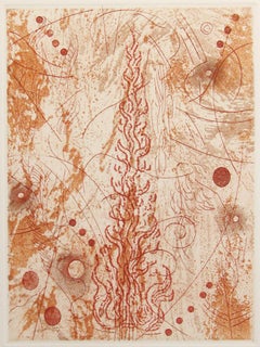
Fire, etching and aquatint by Rosalyn Richards
By Rosalyn Richards
Located in Palm Springs, CA
Images from particle physics, satellite photography, biotechnology, radiology, geological survey maps, have all served as influences on Richards' work.
Etching, Aquatint
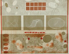
Harmonics
By Rosalyn Richards
Located in Palm Springs, CA
Images from particle physics, satellite photography, biotechnology, radiology, geological survey maps, have all served as influences on Richards' work.
Aquatint, Etching
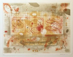
Correlations
By Rosalyn Richards
Located in Palm Springs, CA
Images from particle physics, satellite photography, biotechnology, radiology, geological survey maps, have all served as influences on Richards' work.
Etching, Aquatint

Strange Alchemy
By Rosalyn Richards
Located in Palm Springs, CA
Images from particle physics, satellite photography, biotechnology, radiology, geological survey maps, have all served as influences on Richards' work.
Etching, Aquatint
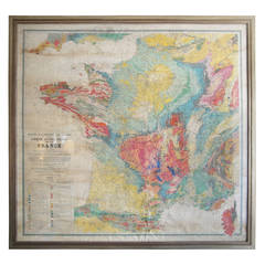
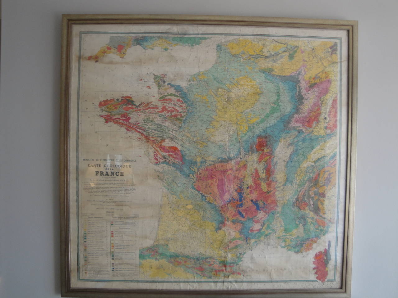
Mid-Century Geological Map of France
Located in Washington, DC
Mid-Century geological map of France.
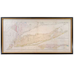

William W. Mather's Geological Map of Long Island
By William W. Mather
Located in New York, NY
In conjunction with an extensive written analysis of this region, this topographical map of Long Island carefully delineates various geological information pertinent to the time per...
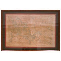
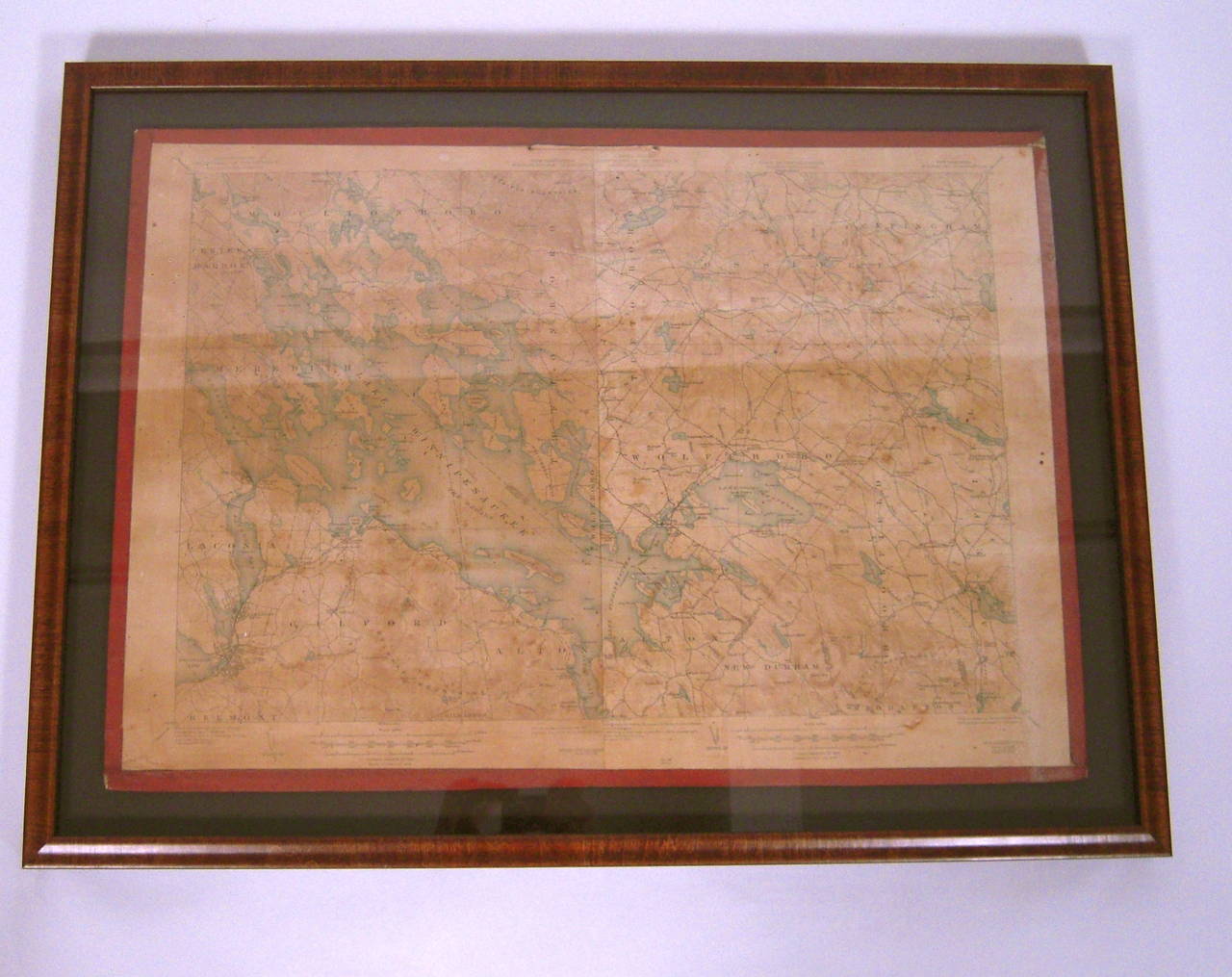
Framed Map of Lake Winnipesaukee Region, NH
By United States Geological Survey
Located in Essex, MA
A framed, very detailed map of lake Winnipesaukee, NH and surrounding areas (the 'Winnipesaukee Quadrangle or Wolfeboro Triangle'), published by the United States Department of the I...
Paper, Walnut
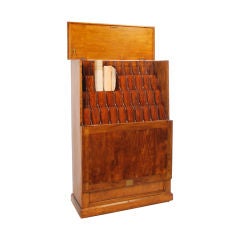

Map Cabinet / Chart Rack
Located in Dallas, TX
All wood map cabinet or chart rack with 40 openings. Previously used to store oil filed maps and geological charts, this could be used for shop drawings, floor plans or renderings.
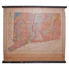

Schoolhouse Geological Map of State of Connecticut, 1906
Located in Madison, WI
Geological Map of the State of Connecticut dated 1906.
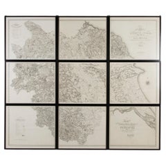
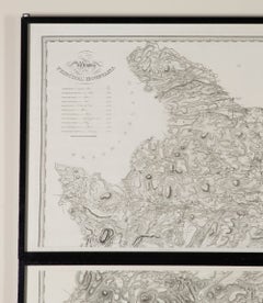
Very Large Early 19th Century Wall Map of Yorkshire
Located in Gloucestershire, GB
An incredibly large and wonderful early 19th Century wall map of Yorkshire. Christopher Greenwood's large-scale map of Yorkshire. Framed in nine individual sections in black lacque...
Paper

Antique Map of the World, Mercator Projection, by Wyld, '1845'
Located in Langweer, NL
Antique map titled 'The World'. Original antique world map, on Mercator's projection. This map originates from 'An Atlas of the World, Comprehending Separate Maps of its Various Coun...
Paper
$401
H 10.44 in W 13.98 in D 0 in
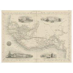
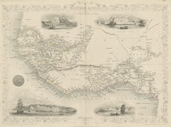
Antique Map of Western Africa with Vignettes of Cape Coast Castle etc, ca.1851
Located in Langweer, NL
Antique map titled ‘Western Africa’. Includes decorative vignettes titled Christiansborg, Cape Coast Castle, Sierra Leone and Bakel. Originates from 'The Illustrated Atlas, And Moder...
Paper
$39Sale Price|20% Off
H 11.5 in W 16.25 in D 0.07 in
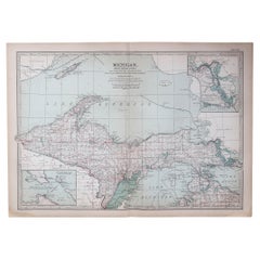
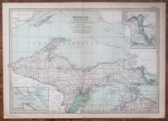
Original Antique Map of the American State of Michigan ( Northern Part ), 1903
Located in St Annes, Lancashire
Antique map of Michigan ( Northern part ) Published By A & C Black. 1903 Original colour Good condition Unframed. Free shipping
Paper
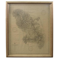
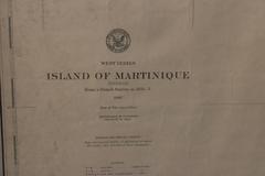
19th Century Nautical Chart of Martinique
Located in Norwell, MA
Original map of Martinique from 1887 with chartered waters around the island. Prepared from a French survey, completed in 1825, showing town, ports, rivers and tributaries. Published...
$332
H 21.26 in W 14.57 in D 0.02 in
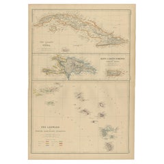
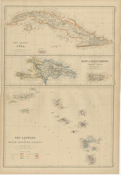
Cuba, Hayti, Santo Domingo and Leeward Islands, Antique Caribbean Map, 1859
Located in Langweer, NL
Title: Cuba, Hayti, Santo Domingo and Leeward Islands, Antique Caribbean Map, 1859 Description: This original antique map depicts the island of Cuba together with Hayti (Hispaniola)...
Paper
$240
H 13.39 in W 16.93 in D 0.02 in
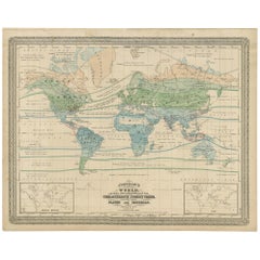
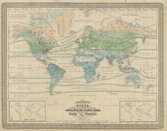
Antique Map of the World Showing the Distribution of Plants and Minerals, 1872
Located in Langweer, NL
Antique map titled 'Johnson's World showing the distribution of the Characteristic Forest Trees (..)'. Original world map showing the distribution of plants and minerals over the glo...
Paper
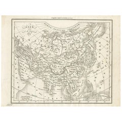
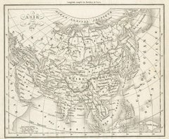
Antique Map of Asia by Dufour, circa 1834
Located in Langweer, NL
Antique map titled 'Asie par A.H. Dufour'. Uncommon map of Asia. Published by or after A.H. Dufour, circa 1834. Source unknown, to be determined.
Paper
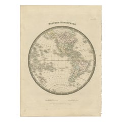
Antique Map of the Western Hemisphere by Wyld '1845'
Located in Langweer, NL
Antique map titled 'Western Hemisphere'. Original antique map of the western hemisphere. This map originates from 'An Atlas of the World, Comprehending Separate Maps of its Various C...
Paper
$798
H 21.66 in W 26.38 in D 0.02 in
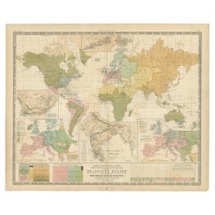
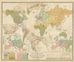
Antique Map Showing the Religions Around the World by Johnston '1854'
Located in Langweer, NL
Antique map titled 'Moral & Statistical Chart showing the Geographical Distribution of Man According to Religious Belief'. Rare large-size thematic map on the distribution of rel...
Paper

$288
H 14.85 in W 18.98 in D 0.2 in
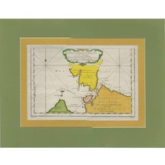
Antique Map of the Strait Between Nova Zembla and the Mainland of Russia
Located in Langweer, NL
Antique map titled 'Carte du Detroit de Waeigats ou de Nassau'. Detailed regional map of the Strait of Waeigats in the Arctic Sea. Includes a decorative title cartouche. One of the m...
Paper
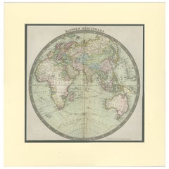
Antique Map of the Eastern Hemisphere by Teesdale, '1831'
Located in Langweer, NL
Antique map titled 'Eastern Hemisphere'. Hemispherical map of eastern hemisphere showing tracks of the navigators James Cook and John Gore. Plate 1 from: A new general atlas of the w...
Paper
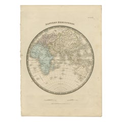

Antique Map of the Eastern Hemisphere by Wyld '1845'
Located in Langweer, NL
Antique map titled 'Eastern Hemisphere'. Original antique map of the eastern hemisphere. This map originates from 'An Atlas of the World, Comprehending Separate Maps of its Various C...
Paper
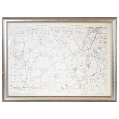
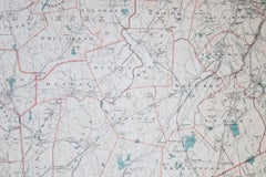
1891 Map of Norfolk County Massachusetts
Located in Norwell, MA
1891 map of Norfolk county Massachusetts including the towns of Wrentham, Franklin, Medfield, Sherborn, Norwood etc., measures: 23 x 31.
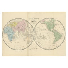
Antique Map of the World by A. Vuillemin, 1854
By Victor Levasseur
Located in Langweer, NL
This map originates from ‘Atlas National de la France Illustré’. Published by A. Combette, Paris, 1854.
Paper
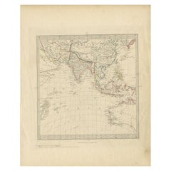
Antique Map of Southeast Asia by Walker, c.1845
Located in Langweer, NL
"Untitled map of southeast Asia. This map depicts India, Indonesia, Australia and surrounding regions. Also depicts a large part of the Indian Ocean. Artists and Engravers: Engraved ...
Paper
$6,507 / set
H 24.01 in W 18.12 in D 14.18 in
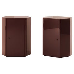
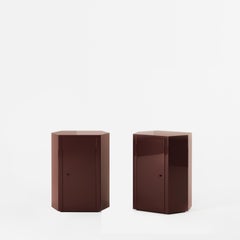
Pair of Park Night Stands in Noir Oxblood Lacquer by Yaniv Chen for Lemon
By Lemon
Located in Amsterdam, NL
The Park nightstand is the epitome of exquisite craftsmanship, featuring meticulously proportioned dimensions and exceptional detailing that make it an ideal bedside companion. Our f...
Lacquer


$954
H 28.75 in W 24.02 in D 3.55 in
Early 19th Century William IV Gilt Convex Mirror Country House Antique
Located in Lowestoft, GB
A good sized early 19th century gesso and gilt convex mirror, in unrestored original condition. With areas of loss, abrasions and scuffs. The original mirror plate has areas of oxidi...
Gesso, Mirror, Pine
$15,696
H 24.61 in W 40.56 in D 0.02 in
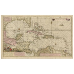
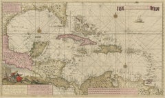
Engraving of a Map of Florida, the Gulf Coast, Caribbean & Central America, 1728
Located in Langweer, NL
This exceptional antique map, titled "Nouvelle Carte Marine de Toute les Cotes de l´Amerique" and alternatively known as "Nieuwe groote en seer Curieuse Paskaart van Geheel-WestIndie...
Paper
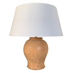
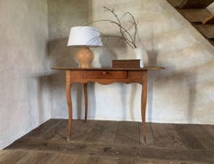
Khmer Vase Table Lamp
Located in Vosselaar, BE
A Khmer vase transformed in to a table lamp. Of baluster shape with an attractive brown yellow ocker glaze. Dating from the 15th-16th century this vase is situated at the end of the ...
Ceramic


Vintage Brocade Silk Sari Textile, Paisley Pattern
Located in Barrington, IL
This Vintage Brocade Silk Sari Textile from India, dating to the third quarter of the 20th century, is a beautiful example of traditional handwoven textile artistry. Featuring a time...
Silk

$3,500 / set
H 71 in W 28.25 in D 1 in
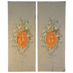
Pair of Late 19th Century Painted Decorative Italian Wall Panels
Located in Round Top, TX
A very lovely pair of late 19th century painted decorative wall panels, Italian circa 1900. Charming romantic scenes painted on dense paper. These panels will be a delightful ornam...
Paper
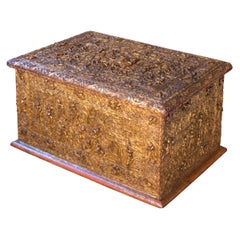

Antique Burmese Sadaik Manuscript Chest.
Located in Point Richmond, CA
The chest is constructed of teak covered in lacquer and gold leaf with a hinged lid and detailed decoration on four sides. The high relief thayo lacquer depicts narrative scenes, bor...
Gold Leaf
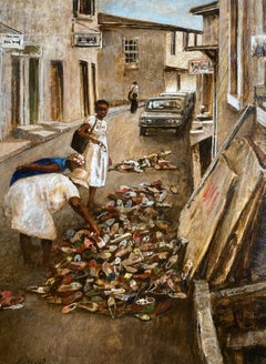
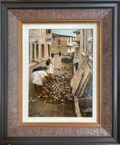
"Shoes" - Renowned Southern Artist, Alabama Scene
Located in New Orleans, LA
In addition to having his work in museums and fine corporate collections, Alabama artist Donny Finley showed for years at prestigious Bryant Galleries on Royal Street in New Orleans ...
Oil


Vintage Italian Fluted Pedestal Table with White Marble Top, 1950s
Located in West Palm Beach, FL
Vintage fluted small painted pedestal / side table with white marble top.
Marble


$1,300
H 20 in W 21 in D 0.8 in
Saint Sebastian, Classic Art, Original oil Painting, Ready to Hang
By Alexander Litvinov
Located in Granada Hills, CA
Artist: Alexander Litvinov Work: Original oil painting, handmade artwork, one of a kind Medium: Oil on Canvas Style: Classic Figurative Year: 1991 Title: Saint Sebastian Size: 20" x...
Canvas, Oil


$3,500
H 82 in W 60 in D 0.2 in
19th Century French Jacquard-Woven Tapestry – The Hunts of Maximilian, Panel II
Located in Barrington, IL
This exquisite 19th-century French tapestry, woven using a Jacquard loom, is a faithful reproduction of Panel II from the renowned Renaissance tapestry series, The Hunts of Maximilia...
Wool, Cotton
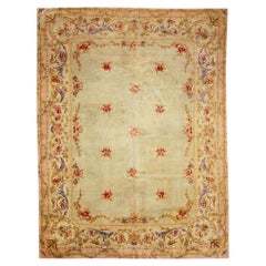

The Versailles Bloom: Antique French Savonnerie Rug of Courtly Elegance
Located in Dallas, TX
71778 Antique French Savonnerie Rug, 09'06 x 12'08. In the resplendent tradition of 17th- and 18th-century France, when Savonnerie carpets adorned the grand salons of Versailles and ...
Wool
$1,718
H 21.26 in W 24.02 in D 0.02 in
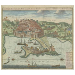
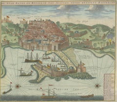
Antique Print of the Port and City of Algiers by Van Keulen, circa 1720
Located in Langweer, NL
Antique print titled 'De Stad Haven en Mouillie van Algiers neven desselfs Kastelen'. Rare double-page bird's-eye view of the port and city of Algiers. With detailed key in the lower...
Paper

$229
H 10.04 in W 7.49 in D 0.04 in
St. Sebastian and St. Rocco Ghirlandaio - Vintage Photo Detail - Early 1900
Located in Roma, IT
St. Sebastian and St. Rocco Ghirlandaio is an original vintage photograph taken in Civic museum in Pisa, Italy, and realized by an Anonymous photographer in the early 20th Century. T...
Photographic Paper


Extremely Rare Antique Print of The Kings of Cambodia in Asia, 1725
Located in Langweer, NL
Description: Plate: 'Audience des Rois de Cambodia dans leur Palais defendu pas 16 elephants et 24 pieces de canon. (Audience before the Kings of Cambodia in their Palace, protected ...
Paper
$160
H 9.06 in W 12.21 in D 0.02 in
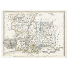
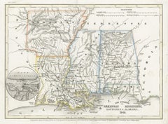
Antique Map of the Southern United States with Inset Map of New Orleans
Located in Langweer, NL
Antique map titled 'Die Staaten von Arkansas Mississippi, Louisiana & Alabama'. Detailed map of the region, which includes the Florida Panhandle. Shows many roads, rivers, forts, etc...
Paper