Map Of Vienna

to
2
11
5
8
5
5
3
3
3
3
3
2
2
1
1
1
1
1
1
1
1
1
1
2
1
1
1
1
Sort By
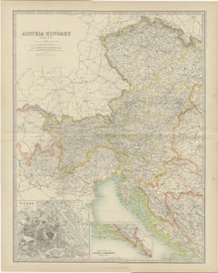
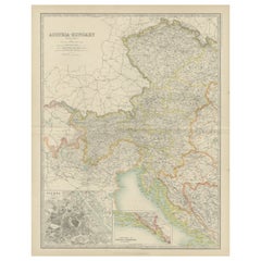
Antique Map of Austria- Hungary by Johnston '1909'
Located in Langweer, NL
Vienna, Dalmatia and Herzegovina. This map originates from the ‘Royal Atlas of Modern Geography
Category

Early 20th Century Maps

Materials

Paper

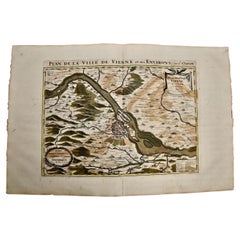
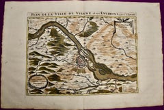
Vienna, Austria: A Large 17th Century Hand-Colored Map by Sanson and Jaillot
By Nicolas Sanson
Located in Alamo, CA
This large 17th century hand-colored map of Vienna, Austria and the surrounding countryside and
Category

Antique 1690s French Maps

Materials

Paper

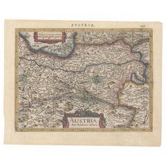
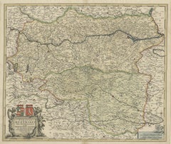
1634 Mercator/Jansson Map: Eastern Austria with Vienna, Hand-Colored
Located in Langweer, NL
1634 Mercator/Jansson Map: Eastern Austria with Vienna, Hand-Colored This hand-colored map from
Category

Antique 1630s Maps

Materials

Paper

Hand Colored 18th Century Homann Map of Austria Including Vienna and the Danube
By Johann Baptist Homann
Located in Alamo, CA
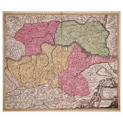
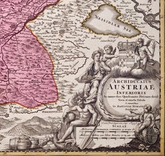
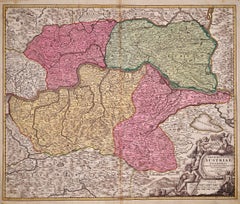
"Archiducatus Austriae inferioris" is a hand colored map of Austria created by Johann Baptist
Category

Antique Early 18th Century German Maps

Materials

Paper

Antique Map of Austria, Centered Around the Danube from Passau to Vienna, C.1690
Located in Langweer, NL
Antique map of Austria titled 'Circuli Austriaci pars septentrionalis in quia archiducatus Austriae
Category

Antique 1690s Maps

Materials

Paper

Old Decorative Map of Austria, Centered on the Danube River and Vienna, Ca.1720
Located in Langweer, NL
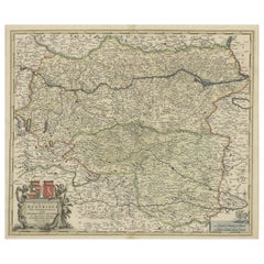
Antique map titled 'Archiducatus Austriae inferioris (..).' Decorative map of Austria, centered on
Category

Antique 1720s Maps

Materials

Paper

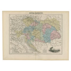
Antique Map of the Austrian Empire by Migeon, 1880
Located in Langweer, NL
with a view of Vienna. This map originates from 'Géographie Universelle Atlas-Migeon' by J. Migeon
Category

Antique 19th Century Maps

Materials

Paper

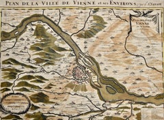
Vienna, Austria: A Large 17th Century Hand-colored Map by Sanson and Jaillot
By Nicholas Sanson d'Abbeville
Located in Alamo, CA
This large 17th century hand-colored map of Vienna, Austria and the surrounding countryside and
Category

1690s Landscape Prints

Materials

Engraving

Hand Colored 18th Century Homann Map of Austria Including Vienna & the Danube
By Johann Baptist Homann
Located in Alamo, CA
"Archiducatus Austriae inferioris" is a hand colored map of Austria created by Johann Baptist
Category

Early 18th Century Old Masters Landscape Prints

Materials

Engraving

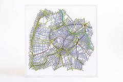
Matthew Picton "Vienna" Pinned-Film Artwork
By Matthew Picton
Located in Chicago, IL
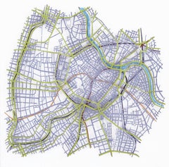
Artwork depicting city map of greater Vienna. Picton considers his work sculptural, "separating out
Category

Early 2000s American Contemporary Art

Materials

Enamel

Champagner Cooler
By Jarosinski & Vaugoin
Located in Vienna, Vienna
piece showing the outlines of the city map of Vienna. The stand is also handmade in wood.   
Category

2010s Austrian Sheffield and Silverplate

Materials

Silver Plate

Champagner Cooler
Champagner Cooler
H 75 in W 23 in D 23 in
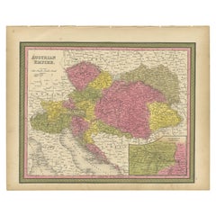
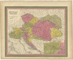
Colourful Old Map of the Austrian Empire, with an Inset Map of Vienna, 1846
Located in Langweer, NL
Vienna. This map originates from 'A New Universal Atlas Containing Maps of the various Empires, Kingdoms
Category

Antique 1840s Maps

Materials

Paper

Antique Map of the Austrian Empire ‘West’ by A.K. Johnston, 1865
Located in Langweer, NL
and more. With an inset map of Vienna (Wien). This map originates from the ‘Royal Atlas of Modern
Category

Antique Mid-19th Century Maps

Materials

Paper

Old Map of the Austro-Hungarian Monarchy with an Inset of Vienna, 1882
Located in Langweer, NL
an inset map of the continuation of Vienna. This map originates from 'The Royal Atlas of Modern
Category

Antique 1880s Maps

Materials

Paper

Map of River Danube, from Regensburg, Passau and Vienna to the Black Sea, c.1660
Located in Langweer, NL
, Passau and Vienna to the Black Sea. The map extends south to the Adriatic, Serbia, Macedonia, Bulgaria
Category

Antique 1660s Maps

Materials

Paper

Antique Map of the City of Vienna by Balbi '1847'
Located in Langweer, NL
Antique map titled 'Vienne'. Original antique map of the city of Vienna, Austria. This map
Category

Antique Mid-19th Century Maps

Materials

Paper

Get Updated with New Arrivals
Save "Map Of Vienna", and we’ll notify you when there are new listings in this category.

Map Of Vienna For Sale on 1stDibs

At 1stDibs, there are many versions of the ideal map of vienna for your home. Frequently made of paper, every map of vienna was constructed with great care. Whether you’re looking for an older or newer map of vienna, there are earlier versions available from the 18th Century and newer variations made as recently as the 19th Century. A well-made map of vienna has long been a part of the offerings for many furniture designers and manufacturers, but those produced by Johann Baptist Homann are consistently popular.

How Much is a Map Of Vienna?

A map of vienna can differ in price owing to various characteristics — the average selling price 1stDibs is $292, while the lowest priced sells for $151 and the highest can go for as much as $1,169.
Questions About Map Of Vienna
  • 1stDibs ExpertNovember 2, 2021
    A Vienna Regulator is a weight-driven clock. There are also spring-driven clocks that are called Vienna Regulators. Regulators, when they first started appearing in clock shops and observatories as the standard of accuracy with respect to telling time, were more accurate than typical clocks and saw mass production in Vienna, Austria, by the mid-19th century. Shop a collection of Vienna Regulator clocks from some of the world’s top sellers on 1stDibs.
  • 1stDibs ExpertOctober 12, 2021
    A Vienna Regulator clock is a weight-driven clock. Although certain spring-driven clocks are sometimes referred to as Vienna Regulators, true Vienna Regulators are weight-driven clocks. The Vienna Regulator clock is an excellent addition to any home. Find a collection of antique and vintage clocks on 1stDibs.