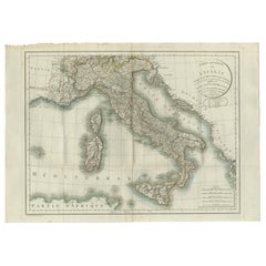
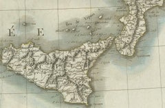
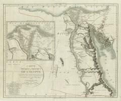
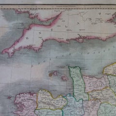
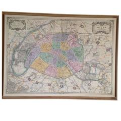
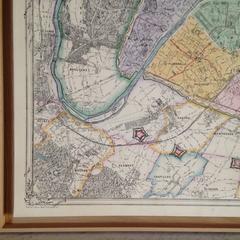
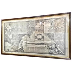
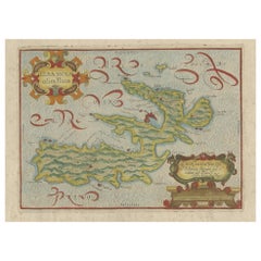
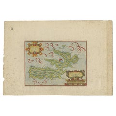
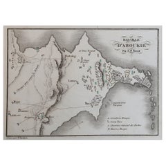
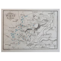
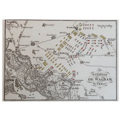
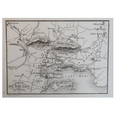
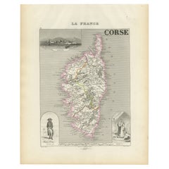
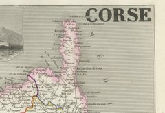
Napoleon Map
Napoleon III Map Table
Located in San Francisco, CA
Cast your eyes upon this extraordinary work of art - a map brass frame case that has been
Category
Mid-20th Century Coffee and Cocktail Tables
Materials
Brass
Recent Sales
Napoleon 1812 Empire Map 32 Pieces Battles with Prince Letters
By Longuet succeed Simonneau
Located in Denia, ES
Napoleon Empire 32 battles maps with original Smolensk letter of Prince of Neuchatel 1812. Unique
Category
Antique 1810s French Empire Maps
Materials
Paper
Early 19th Century Map of Revolutionary France with 13 Belgian and Six Piedmont
By Kirkwood
Located in Pataskala, OH
matting and backing in the framing. Map of Napoleon's Empire frame has an antiqued gold finish on an
Category
Antique 1810s English Louis XVI Maps
H 26.75 in W 31.25 in D 1 in
19th Century Map of Paris
By Angelique Marie Martin 1
Located in Saint-Ouen, FR
Very beautiful 1887 map of Paris.
Engraved by A.Martin and printed by Hermet.
Map in two parts
Category
Antique 1880s French Napoleon III Prints
Materials
Paper
19th Century Big Italian Print Map and History of Naples
Located in Toledo, Castilla La Mancha
Beautiful 19th century big Italian print, map and history of Naples.
Various framed prints
Category
Antique 19th Century Italian Napoleon III Prints
Materials
Wood, Paper
Antique Map of Elba in Tuscany, Italy, Site of Napoleon's First Exile, c.1620
Located in Langweer, NL
Antique map titled 'Elba Isola olim Ilua'. Old map of Elba, a Mediterranean island in Tuscany
Category
Antique 17th Century Maps
Materials
Paper
H 10.83 in W 15.75 in D 0 in
Hermes "Napoleon" Silk Damask Scarf 35"x35"
By Philippe Ledoux, Hermès
Located in Port Hope, ON
important events which map out Napoleon's reign. This silk damask scarf is enhanced by a background of
Category
1980s Scarves
German Muller-Volkstedt Hand-Painted Figural Porcelain of Napoleon, 19th Century
Located in Big Flats, NY
porcelain statue of Napoleon, his hat and maps of Portugal and Spain rest on the side table, Crown MZ mark
Category
Antique 19th Century German Porcelain
Materials
Porcelain
Original Antique Plan of The Battle of Arcole, Napoleon Bonaparte. Circa 1850
Located in St Annes, Lancashire
Great battle plan of The Battle of Arcole
Drawn by A.M Perrot
Steel engraving by Tardieu with original hand colour
Unframed.
The size given is the paper size
Category
Antique 1850s French Maps
Materials
Paper
H 6 in W 10 in D 0.07 in
Original Antique Plan of The Battle of Jena, Napoleon Bonaparte. Circa 1850
Located in St Annes, Lancashire
Great battle plan of The Battle of Jena-Auerstedt
Drawn by A.M Perrot
Steel engraving by Tardieu with original hand colour
Unframed.
The size given is the paper size
Category
Antique 1850s French Maps
Materials
Paper
Original Antique Plan of The Battle of Wagram, Napoleon Bonaparte. Circa 1850
Located in St Annes, Lancashire
Great battle plan of The Battle of Wagram
Drawn by A.M Perrot
Steel engraving by Tardieu with original hand colour
Unframed.
The size given is the paper size
Category
Antique 1850s French Maps
Materials
Paper
H 6 in W 10 in D 0.07 in
Original Antique Plan of The Battle of Abukir, Napoleon Bonaparte. Circa 1850
Located in St Annes, Lancashire
Great battle plan of The Battle of Abukir
Drawn by A.M Perrot
Steel engraving by Tardieu with original hand colour
Unframed.
The size given is the paper size
Category
Antique 1850s French Maps
Materials
Paper
H 6 in W 10 in D 0.07 in
Original Antique Plan of The Siege of Toulon, Napoleon Bonaparte. Circa 1850
Located in St Annes, Lancashire
Great battle plan of The Siege of Toulon
Drawn by A.M Perrot
Steel engraving by Tardieu with original hand colour
Unframed.
The size given is the paper size
Category
Antique 1850s French Maps
Materials
Paper
H 6 in W 10 in D 0.07 in
Antique Painted Metal Tin Tobacco Trinket Keepsake Box Napoleon Bonaparte 5"
Located in Dayton, OH
lid of Napoleon Bonaparte surveying a map, with a white horse and soldiers at the ready.
Category
Antique 19th Century French Provincial Decorative Boxes
Materials
Tin
Heavily Distressed World Globe, Napoleon III, France, 19th Century
Located in Ulft, Gelderland
during the Napoleon III period.
Category
Antique 19th Century French Maps
French Napoleon III Framed Hand Drawn Map of France, 1870s
Located in Austin, TX
A hand drawn map of France from the Napoleon III period in the 1870s. Signed by Marie Cretin. Frame
Category
Antique 1870s French Napoleon III Maps
Materials
Wood, Paper, Glass
22-Karat Gold Leaf Framed Map of Napoleon's Empire, 1811
By J. Wyld
Located in Pataskala, OH
This oversized map of Napoleon’s Empire at the time of 1811 was published in London. The
Category
Antique 1830s English Neoclassical Maps
Materials
Gold Leaf
People Also Browsed
19th Century Hand Carved and Hand Painted Queen Size Bed Frame Louis XVI Style
Located in Sofia, BG
19th century exquisite queen size beautifully hand carved bed frame in the elegant Louis XVI style. The headboard and footboard frames are raised on six legs and are hand curved and ...
Category
Antique Late 19th Century French Louis XVI Beds and Bed Frames
Materials
Cane, Wood
H 62.21 in W 59.06 in D 84.65 in
Get Updated with New Arrivals
Save "Napoleon Map", and we’ll notify you when there are new listings in this category.
Napoleon Map For Sale on 1stDibs
At 1stDibs, there are many versions of the ideal napoleon map for your home. Frequently made of paper, metal and wood, every napoleon map was constructed with great care. Your living room may not be complete without a napoleon map — find older editions for sale from the 19th Century and newer versions made as recently as the 20th Century. You’ll likely find more than one napoleon map that is appealing in its simplicity, but John & William Cary and W.F.P. Napier, C.B. produced versions that are worth a look.
How Much is a Napoleon Map?
Prices for a napoleon map can differ depending upon size, time period and other attributes — at 1stDibs, they begin at $251 and can go as high as $45,443, while the average can fetch as much as $3,500.