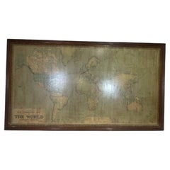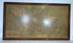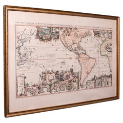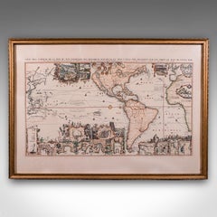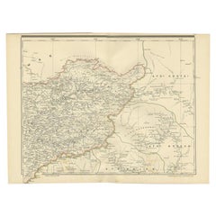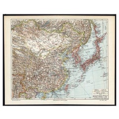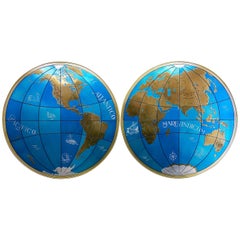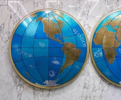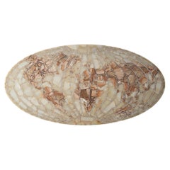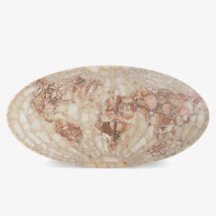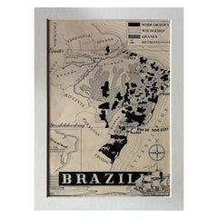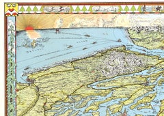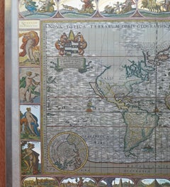
Silver Leaf Foil Wall World Map Engraving Based on the Original Moses Pitt, 1681
Located in West Sussex, Pulborough
We are delighted to offer for sale this lovely antique style pictorial silver leaf foil world map taken from and original engraving my Moses Pitt, 1681 This is a very interesting ...
Category
20th Century English Modern The Vintage Map
Materials
Silver Leaf