Items Similar to Vintage School Map Of Czech State, Czechoslovakia 1960s
Want more images or videos?
Request additional images or videos from the seller
1 of 10
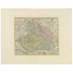
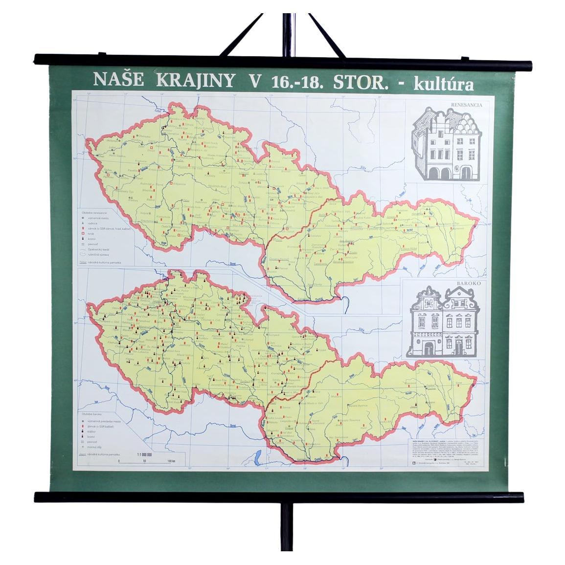
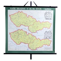
Vintage School Map Of Czech State, Czechoslovakia 1960s
About the Item
This is a great vintage school map of "Czech State1526-1648". The map was produced by a National company Skolske Pomocky (School accessories) in 1960s in Czechoslovakia. This map was originally used in schools to describe the origins and historical border of Czech State, original Czech Republic to elementary school students. The map is made of paper on plastic with black wooden slats on bottom and top. Hangs on an original black twine. Very good condition with minor damages. Only minor age patina. Great wall decoration for any interiors.
Condition report:
Very good condition, original age patina, minor wear.
- Dimensions:Height: 33.47 in (85 cm)Width: 44.1 in (112 cm)Depth: 1.19 in (3 cm)
- Style:Mid-Century Modern (Of the Period)
- Materials and Techniques:
- Place of Origin:
- Period:
- Date of Manufacture:1960s
- Condition:Minor fading.
- Seller Location:Zohor, SK
- Reference Number:1stDibs: LU6625235419952
About the Seller
5.0
Vetted Seller
These experienced sellers undergo a comprehensive evaluation by our team of in-house experts.
Established in 2006
1stDibs seller since 2022
32 sales on 1stDibs
Typical response time: 2 hours
- ShippingRetrieving quote...Ships From: Zohor, Slovakia
- Return PolicyA return for this item may be initiated within 3 days of delivery.
More From This SellerView All
- Vintage School Map of Czechoslovakia, 1960sLocated in Zohor, SKThis is a great vintage school map produced in Czechoslovakia by Skolske pomucky n.p., which was a national factory for producing the school items i...Category
Vintage 1960s Slovak Mid-Century Modern Posters
MaterialsPaper
- Plastic School Model Of Ethylen, Czechoslovakia 1960sLocated in Zohor, SKOriginal and unique home assessory, this is a school chemist model of ethylene. Produced and used in Czechoslovakia since 1960s, this model is made of plastic, with a plastic base. I...Category
Vintage 1960s Czech Mid-Century Modern Models and Miniatures
MaterialsPlastic
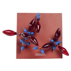
- Plastic School Model Of Diamant, Czechoslovakia 1960sLocated in Zohor, SKBeautiful and unique vintage science model of diamant. This is a school model originating in Czechoslovakia. Produced and used until now since 1960s. The...Category
Vintage 1960s Czech Mid-Century Modern Models and Miniatures
MaterialsPlastic
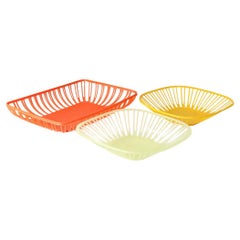
- Set Of 3 Vintage Plastic Baskets, Czechoslovakia 1960sLocated in Zohor, SKGreat vintage kitchen baskets, or serving baskets. Produced in the best of the plastic era of 1960s. The typical mid-century vibe just oozes through these great baskets. They are in ...Category
Vintage 1960s Czech Mid-Century Modern Decorative Baskets
MaterialsPlastic
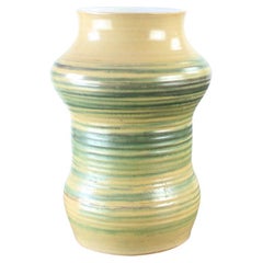
- Vintage Ceramic Vase, Czechoslovakia, 1960sLocated in Zohor, SKBeautiful mid-century vase produced in Czechoslovakia in 1960s. The vase is made of caramics with glaze. The outside is handpainted into a typical mid-century design. The inside in g...Category
Vintage 1960s Czech Mid-Century Modern Vases
MaterialsCeramic
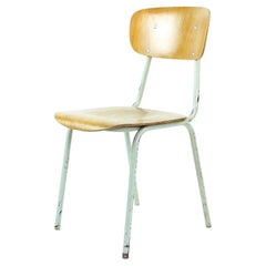
- School Chair In Metal And Plywood, Kovona, Czechoslovakia 1960sBy KovonaLocated in Zohor, SKGreat vintage find with a lot of history. This school chair was mass produced for schoold in Czechoslovakia in 1960y and has been in use until 90s. The construction is made of bent s...Category
Vintage 1960s Czech Mid-Century Modern Chairs
MaterialsSteel
You May Also Like
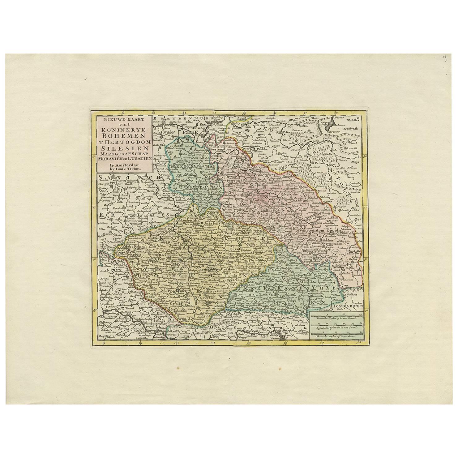
- Antique Map of Czech Republic by I. Tirion, 1747Located in Langweer, NLAntique map titled 'Nieuwe Kaart van t Koninkryk Bohemen t Hertogdom Silesien markgraafschap Moravien en Lusatien'. Including the towns of Berlin, Vienna, Regensburg.Category
Antique Mid-18th Century Maps
MaterialsPaper
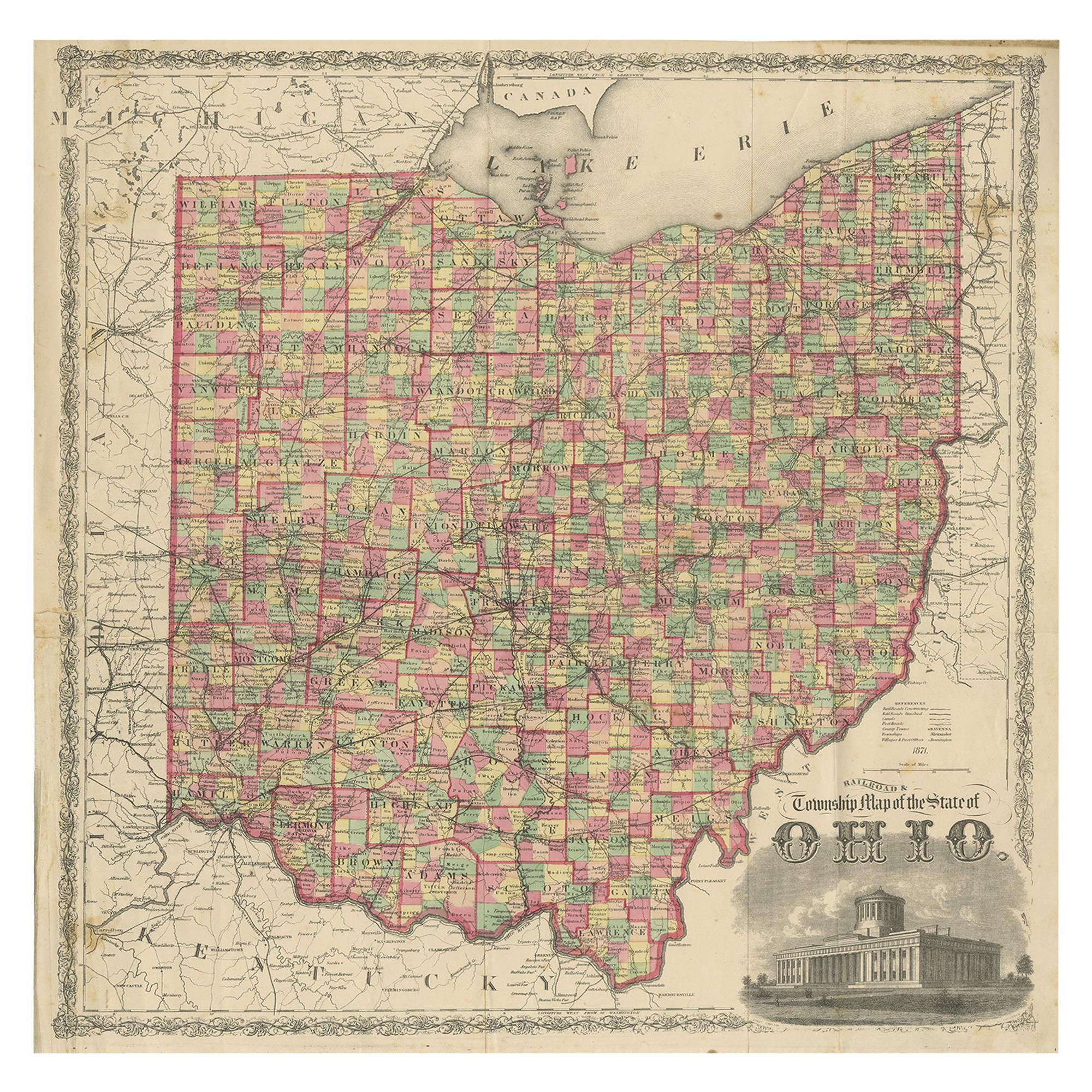
- Antique Map of the State of Ohio by Titus '1871'Located in Langweer, NLAntique map titled 'Railroad & Township Map of the State of Ohio'. Original antique map of the State of Ohio. This map originates from 'Atlas of Preble County Ohio' by C.O. Titus. Pu...Category
Antique Late 19th Century Maps
MaterialsPaper
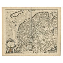
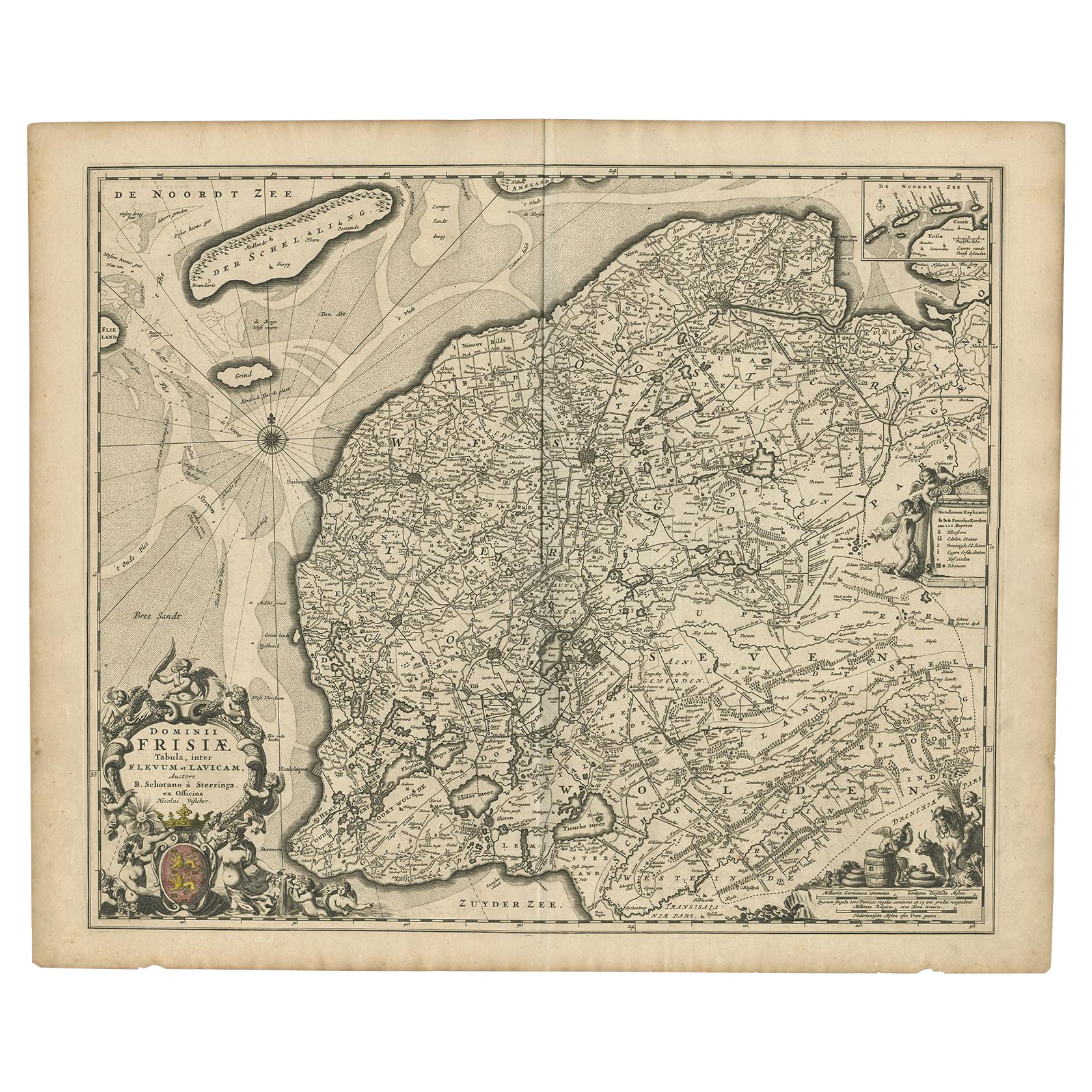
- Beautiful First State Map of Friesland, the Netherlands, c.1665Located in Langweer, NLAntique map titled 'Dominii Frisiae Tabula, inter Flevum et Lavicam'. Beautiful first state map of Friesland, the Netherlands. With small inset map of the Frisian Wadden islands Vlie...Category
Antique 17th Century Maps
MaterialsPaper
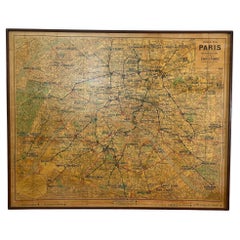
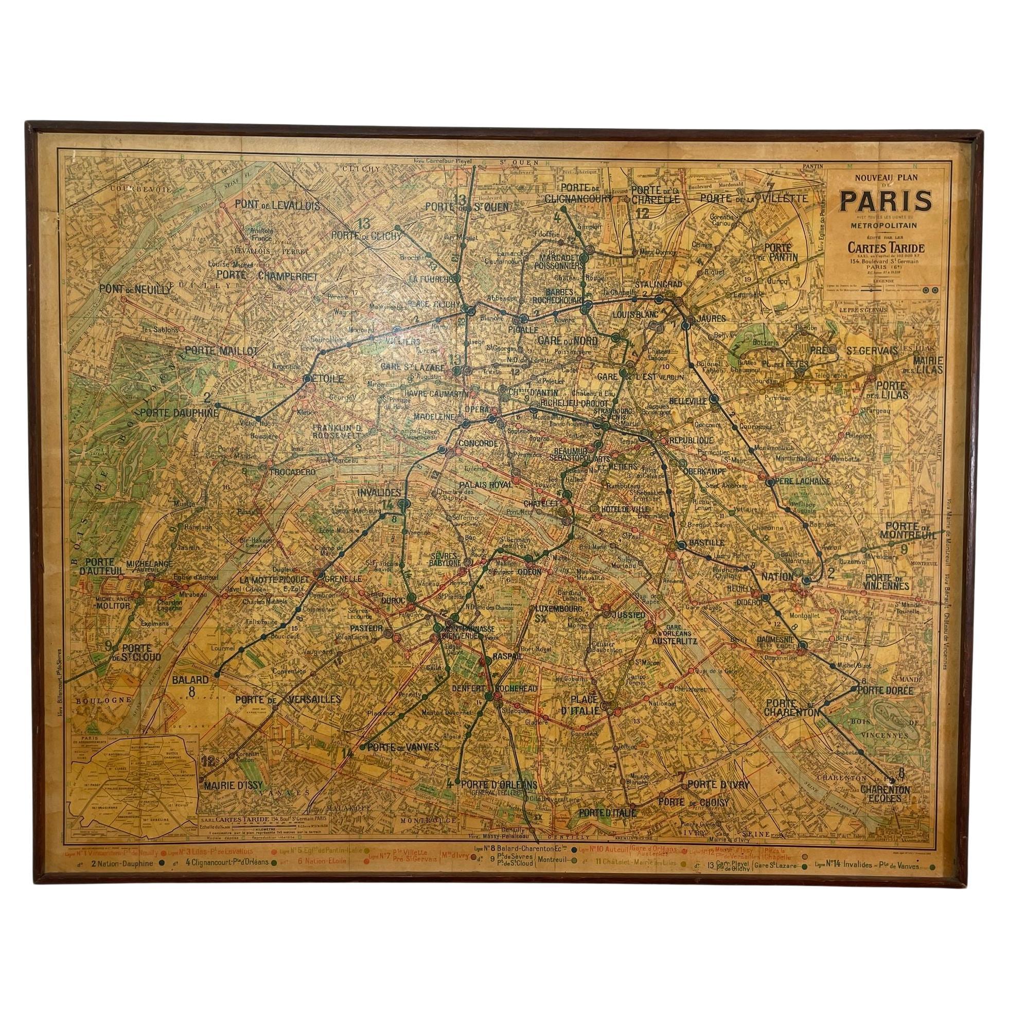
- Large French Paris Metro Map 1960sLocated in North Hollywood, CALarge French Paris Metro Map 1960s. A large Vintage French framed map of the Parisian Metro from the mid-20th century. Featuring a Paris metro map from the midcentury period showing ...Category
Mid-20th Century French Industrial Prints
MaterialsWood, Paper
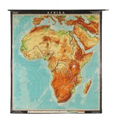
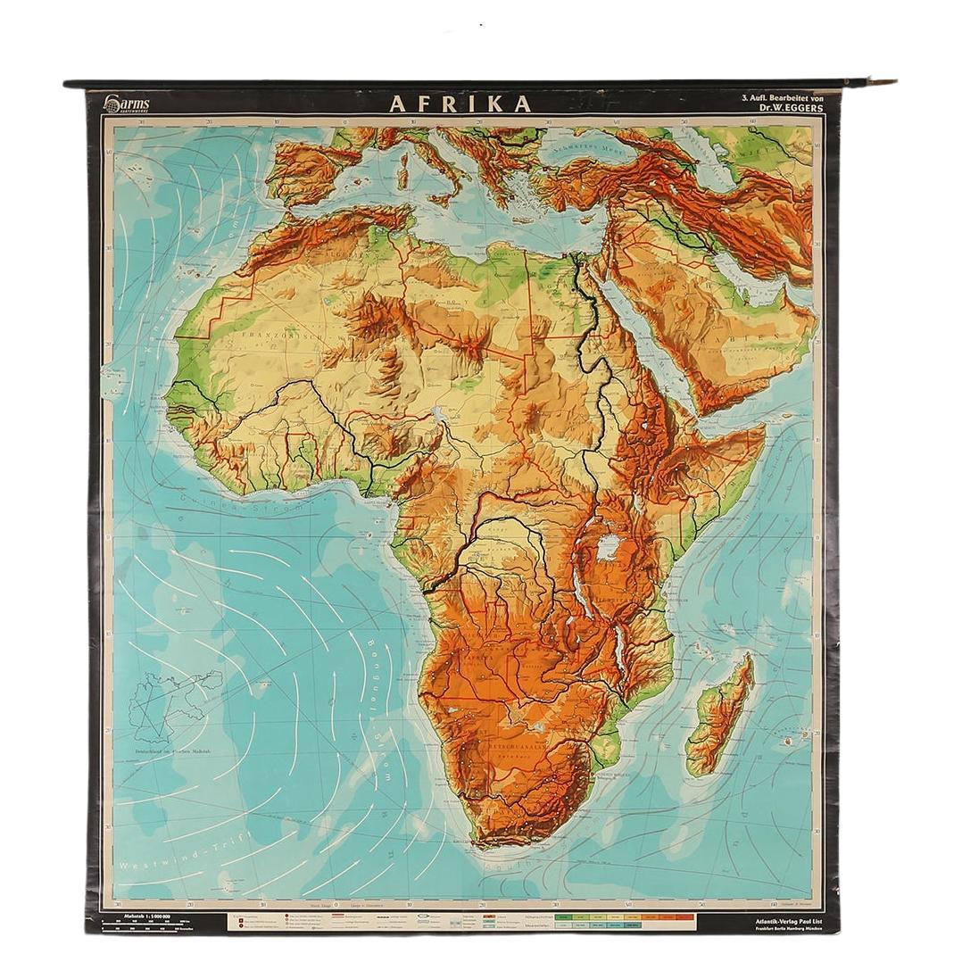
- Large Africa School Map, circa 1950Located in Meulebeke, BEGeographical vintage school wall card Africa. The school poster is in a good vintage condition with types of old -age signs that you can see from the produc...Category
Vintage 1950s German Mid-Century Modern Posters
MaterialsCanvas, Wood, Paper
- Antique 18th Century Map of the Province of Pensilvania 'Pennsylvania State'Located in Philadelphia, PAA fine antique of the colony of Pennsylvania. Noted at the top of the sheet as a 'Map of the province of Pensilvania'. This undated and anonymous map is thought to be from the Gentleman's Magazine, London, circa 1775, although the general appearance could date it to the 1760's. The southern boundary reflects the Mason-Dixon survey (1768), the western boundary is placed just west of Pittsburgh, and the northern boundary is not marked. The map has a number of reference points that likely refer to companion text and appear to be connected to boundaries. The western and southern boundaries are marked Q, R, S, for example. A diagonal line runs from the Susquehanna R to the Lake Erie P. A broken line marked by many letters A, B, N, O, etc., appears in the east. There are no latitude or longitude markings, blank verso. Framed in a shaped contemporary gilt wooden frame and matted under a cream colored matte. Bearing an old Graham Arader Gallery...Category
Antique 18th Century British American Colonial Maps
MaterialsPaper