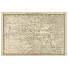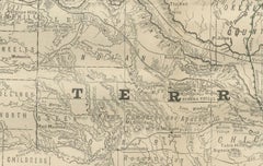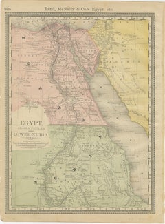
Egypt & Lower Nubia – Elegant Antique Atlas Map of the Nile, ca.1888
Located in Langweer, NL
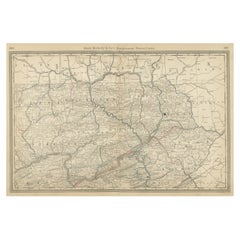
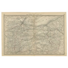
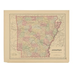
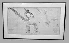
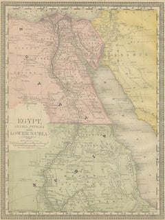
Egypt & Lower Nubia – Elegant Antique Atlas Map of the Nile, ca.1888 This elegant antique atlas map presents Egypt and the Nile Valley in a refined, softly colored composition that feels timeless and architectural. The long vertical sweep of the Nile immediately draws the eye, flowing from the Mediterranean through Cairo and Upper Egypt toward Lower Nubia, framed by delicately engraved desert regions and subtle coastal shading along the Red Sea. Produced by Rand, McNally & Co. at the height of late-19th-century American atlas design, the map combines clarity with a restrained pastel palette that works exceptionally well in contemporary interiors. The balance between open desert spaces and the finely detailed river corridor gives the sheet a calm, almost meditative presence on the wall, making it particularly attractive for living rooms, studies, libraries, or hospitality settings. Cartographic details are crisp yet unobtrusive, allowing the overall composition to read as decorative rather than technical. The typography is elegant and evenly spaced, while the hand-colored regions add warmth without overpowering the design. When framed, the vertical format emphasizes the monumental scale of the Nile and creates a strong visual anchor in a room. A particularly appealing feature of this sheet is that the reverse side displays a decorative map of Africa, making it a versatile double-sided atlas leaf. This adds interest for collectors and interior designers alike, whether framed with visible margins, floated in a double-glazed frame, or appreciated as a historical object in a portfolio or drawer. Printed on original late-19th-century atlas paper, this map retains the authentic texture and presence expected of a period piece, offering both decorative impact and historical character without feeling heavy or academic. Condition report: Original atlas paper with light age toning consistent with period. Minor edge wear and gentle handling marks typical of bound atlas sheets. Overall well preserved with clean color and strong legibility. Framing tips: This map works beautifully in a light oak, walnut, or muted gold frame with an off-white or warm ivory mat. A tall vertical mat emphasizes the flow of the Nile and enhances the architectural feel. Museum glass is recommended to preserve the soft pastel tones. Technique: Color lithograph Maker: Rand, McNally & Co., United States, late 19th century Keywords: Egypt map, Nile map, Nile wall art, antique map of Egypt, decorative atlas map, Rand McNally map, antique Egypt wall art...
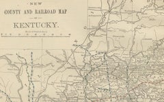
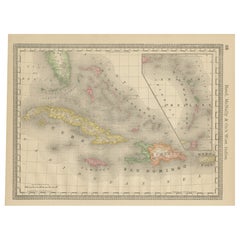
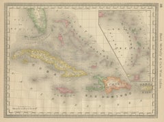
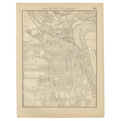
Late 19th Century Antique American Maps
Paper