
Vintage State Maps

Original 'The Evergreen Playground' Easter Washington State map

Original 'The Evergreen Playground' Easter Washington State map

Located in Spokane, WA

Birdseye view of Puget Sound including the San Juan Islands, the Cascades and the Olympics… There is a border around the entire map with small pictures representing Washington State...

Category

1940s American Realist Vintage State Maps

Materials

Lithograph

Antique Railroad Map of the United States by Rand, McNally & Co, 1900

Antique Railroad Map of the United States by Rand, McNally & Co, 1900

Located in Langweer, NL

Map shows state boundaries for the United States, Mexico, the West Indies, and lower portion of Canada; major cities and towns, military posts, Native American reservations, and rail...

Category

20th Century Vintage State Maps

Materials

Linen, Paper

Vintage School Map Of Czech State, Czechoslovakia 1960s

Vintage School Map Of Czech State, Czechoslovakia 1960s

Located in Zohor, SK

This map was originally used in schools to describe the origins and historical border of Czech State, original Czech Republic to elementary school students.

Category

1960s Czech Mid-Century Modern Vintage State Maps

Materials

Wood, Paper

Britton & Reys Map of the State of California Print by George H. Goddard.

Britton & Reys Map of the State of California Print by George H. Goddard.

Located in Seattle, WA

Black and white printed map titled "Britton & Reys Map of the State of California", originally compiled by George H.Goddard, C.E.

Category

1970s Mid-Century Modern Vintage State Maps

Materials

Paper

Vintage Arizona Souvenir Tole Tray with Saguaro Cactus, Mid-Century

Vintage Arizona Souvenir Tole Tray with Saguaro Cactus, Mid-Century

Located in Oklahoma City, OK

A wonderfully graphic and highly collectible mid-century Arizona souvenir tray, featuring a striking black lacquered ground with gilt detailing, an illustrated state map, and the ico...

Category

Mid-20th Century American Mid-Century Modern Vintage State Maps

Materials

Metal

Alfred Shaheen Hawaiian Novelty Print Dress, Circa 1959

Alfred Shaheen Hawaiian Novelty Print Dress, Circa 1959

By Alfred Shaheen

Located in Brooklyn, NY

Vintage Alfred Shaheen bombshell wiggle dress signature Shaheen hand printed cotton red and cream abstract tapa print Hawaiian islands map print 50th state written throughout in gold...

Category

1950s American Vintage State Maps

"Cenizo" San Carlos Mexico area Burros Mts. in the Distance

"Cenizo" San Carlos Mexico area Burros Mts. in the Distance

By Dwight Holmes

Located in San Antonio, TX

His awards include First Prize in Map Drawing, Oregon State Fair 1912; First Prize in Pen and Ink, Zinc Etchings and Charcoal Drawings at Texas State Fair 1922; First Prize in Landsc...

Category

1980s Impressionist Vintage State Maps

Materials

Oil

Recent Sales

Crams Superior Map Of Oregon

Crams Superior Map Of Oregon

Unavailable

H 55 in W 54 in D 1 in

Crams Superior Map Of Oregon

By George F. Cram

Located in Seattle, WA

Vivid colors and bold graphics characterize this vintage circa 1940's school map of the State of Oregon.

Category

1940s American Industrial Vintage State Maps

Materials

Linen

Tulips
Tulips

Zama Vanessa HelderTulips, Circa 1940

Unavailable

H 26.5 in W 22.5 in

Tulips

By Zama Vanessa Helder

Located in Beverly Hills, CA

As one of the leading WPA artists in the state, Helder was selected to design and produce two mural maps for the State Capitol Museum in 1938.

Category

20th Century American Modern Vintage State Maps

Materials

Paper, Watercolor

Thomas and Bros. Vintage California State Map

Thomas and Bros. Vintage California State Map

Located in Alhambra, CA

Fantastic vintage 1994 Thomas and Bro's map of the entire state of California. Map has cut-out details of the Bay Area and Los Angeles.

Category

1990s Vintage State Maps

Materials

Wood, Paper

14 Karat Yellow Gold Indiana State Map Charm Pendant

14 Karat Yellow Gold Indiana State Map Charm Pendant

Located in London, GB

A 14 karat (14K) yellow gold charm pendant designed as a map of the American State of Indiana, marked IND.

Category

20th Century American Vintage State Maps

Materials

Gold, 14k Gold, Yellow Gold

Vintage Coastal Framed Florida Map

Vintage Coastal Framed Florida Map

Sold

H 30.25 in W 30.25 in D 1.25 in

Vintage Coastal Framed Florida Map

Located in West Palm Beach, FL

Celebrate the charm of the Sunshine State with this vintage Florida map textile art, beautifully framed in a crisp white border.

Category

Mid-20th Century American Vintage State Maps

Materials

Textile, Glass

Vintage 14k Gold Charm for a Bracelet of the State of Pennsylvania

Vintage 14k Gold Charm for a Bracelet of the State of Pennsylvania

Located in Philadelphia, PA

A vintage 14 karat gold charm for a charm bracelet. In the shape of a map of State of Pennsylvania and decorated in blue enamel.

Category

20th Century American Modern Vintage State Maps

Materials

14k Gold

"BLUEBONNET" #10 OF COMFORT TEXAS Volkenburg Mountain

"BLUEBONNET" #10 OF COMFORT TEXAS Volkenburg Mountain

By Dwight Holmes

Located in San Antonio, TX

His awards include First Prize in Map Drawing, Oregon State Fair 1912; First Prize in Pen and Ink, Zinc Etchings and Charcoal Drawings at Texas State Fair 1922; First Prize in Landsc...

Category

1980s American Impressionist Vintage State Maps

Materials

Oil

"'BLUEBONNET FIELDS" TEXAS HILL COUNTRY FRAMED 29.5 X 41.5

"'BLUEBONNET FIELDS" TEXAS HILL COUNTRY FRAMED 29.5 X 41.5

By Dwight Holmes

Located in San Antonio, TX

His awards include First Prize in Map Drawing, Oregon State Fair 1912; First Prize in Pen and Ink, Zinc Etchings and Charcoal Drawings at Texas State Fair 1922; First Prize in Landsc...

Category

1970s Impressionist Vintage State Maps

Materials

Oil

Carved Relief USA Map

Carved Relief USA Map

Sold

H 18 in W 24.5 in D 1 in

Carved Relief USA Map

Located in Summerland, CA

Hand Carved Wooden USA Map Each state individually carved then pieced together.

Category

20th Century American Folk Art Vintage State Maps

Materials

Oak

Swiss Gilt Alarm Wristwatch with Map of Texas circa 1970s

Swiss Gilt Alarm Wristwatch with Map of Texas circa 1970s

Located in West Hollywood, CA

Swiss gilt metal alarm wristwatch with map of Texas, circa 1970s. 17-jewel manual-wind watch featuring colorful map of state of Texas showing terrain and major cities.

Category

1970s Swiss Vintage State Maps

Materials

Gilt Metal, Stainless Steel

Get Updated with New Arrivals
Save "Vintage State Maps", and we’ll notify you when there are new listings in this category.

Vintage State Maps For Sale on 1stDibs

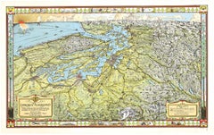
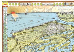
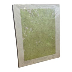
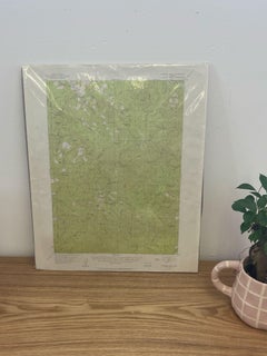
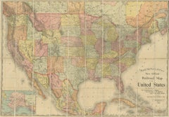
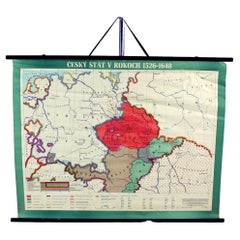
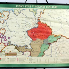
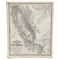
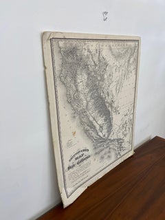
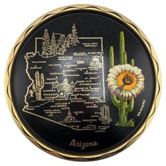
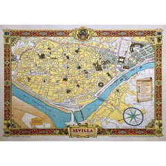
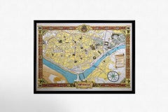
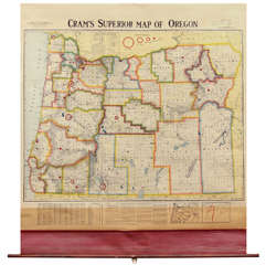
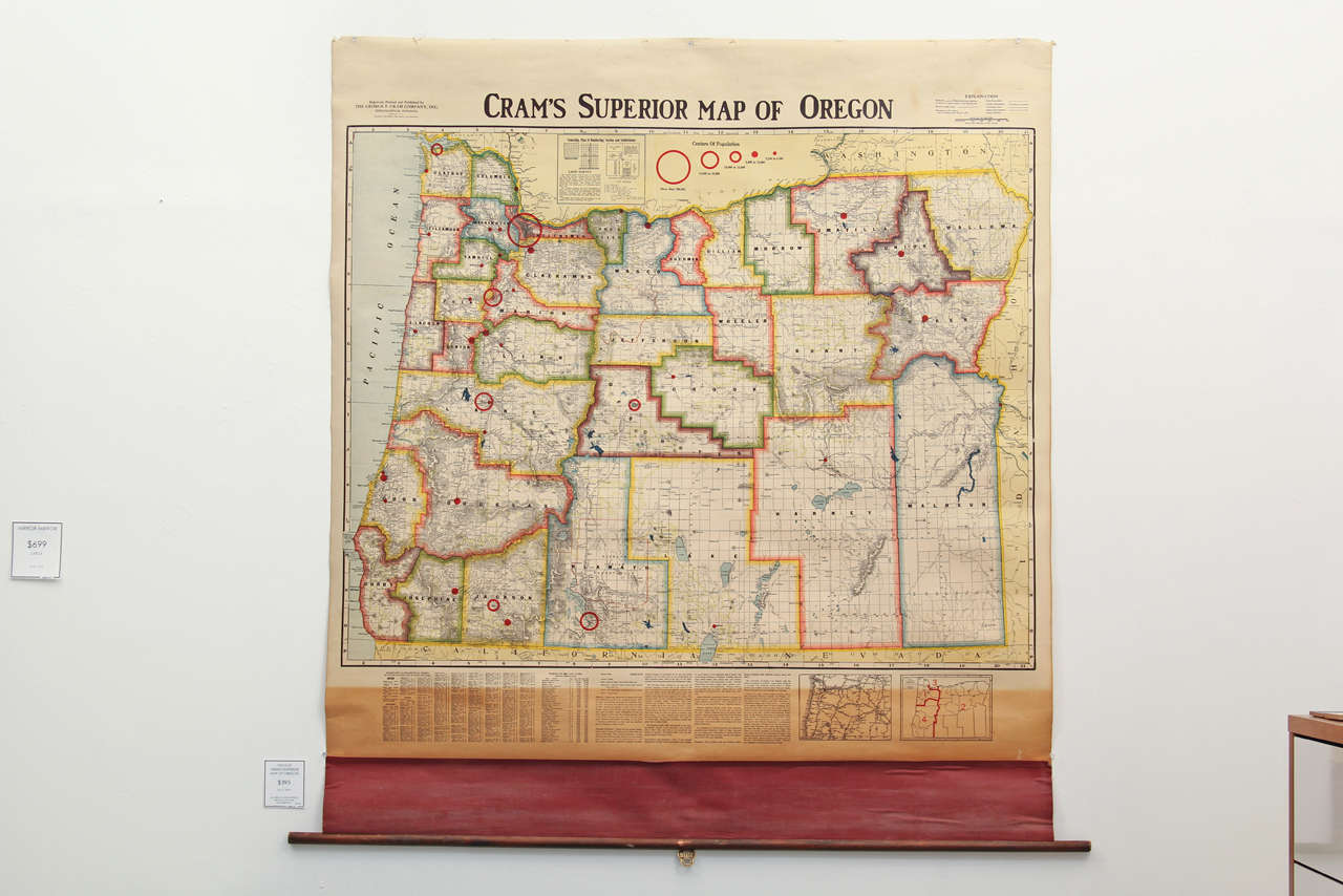
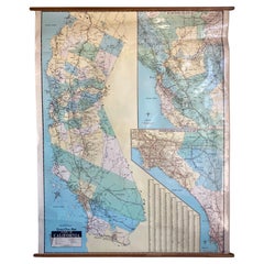
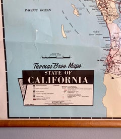
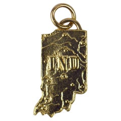
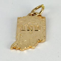
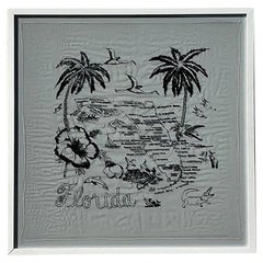
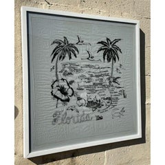
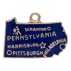
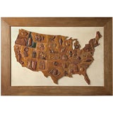
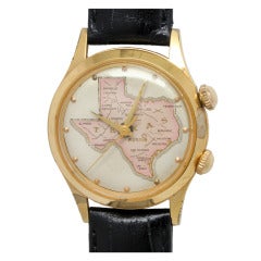
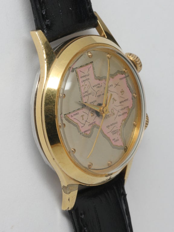
On 1stDibs, there are several options of vintage state maps available for sale. A selection of these works in the modern, contemporary and Pop Art styles can be found today in our inventory. These items have long been popular, with older editions for sale from the 20th Century and newer versions made as recently as the 20th Century. If you’re looking to add vintage state maps that pop against an otherwise neutral space in your home, the works available on 1stDibs include that feature elements of gray, black, beige, blue and more. These artworks have been a part of the life’s work for many artists, but the versions made by Uwe Ommer, (after) Henri Matisse, Henri Matisse, JOHN W. HATCH and Dong Kingman are consistently popular. Frequently made by artists working in lithograph, archival pigment print and pigment print, all of these available pieces are unique and have attracted attention over the years.

How Much are Vintage State Maps?

Prices for pieces in our collection of vintage state maps start at $39 and top out at $150,000 with the average selling for $1,800.