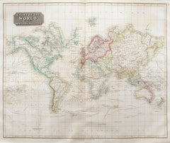
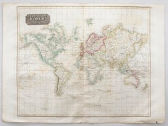
John Thomson (1777-1840) - 1830 Map Engraving, Chart of the World
By John Thomson
Located in Corsham, GB
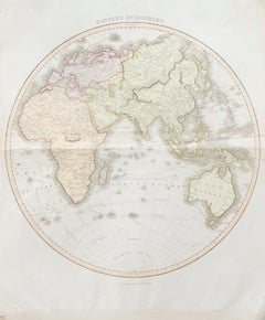
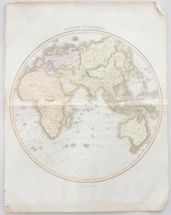
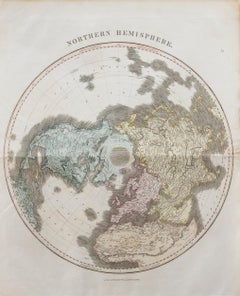
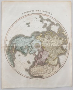
A fine engraved map of the world on Mercator's projection, from the second edition of John Thomson's 'New General Atlas' published in 1830. On paper.
Category
Early 19th Century John Thomson Prints and Multiples
Materials
Engraving