Items Similar to 1905 Chart of Long Island Sound by Eldridge
Want more images or videos?
Request additional images or videos from the seller
1 of 13
1905 Chart of Long Island Sound by Eldridge
$3,895
£2,941.77
€3,398.20
CA$5,487.50
A$5,877.11
CHF 3,159.50
MX$71,380.99
NOK 39,921.78
SEK 36,551.36
DKK 25,390.74
About the Item
Original chart of Long Island Sound by George Eldridge, date-stamped 1905. Also includes the seller's name, Ships Chandler Charles C. Hutchinson, 152 State St., Boston, General Agent. Showing Mamaroneck, Greenwich, Darien, Westport, Manhattan, Glen Cove, City Island, Brooklyn, Oyster Bay, Cold Spring Harbor, Northport, Fairfield, New Haven, etc.
Weight: 20 lbs.
Overall Dimensions: 32" H x 81"W
Made: America
Material: Paper
Date: 1905
- Dimensions:Height: 32 in (81.28 cm)Width: 81 in (205.74 cm)Depth: 1 in (2.54 cm)
- Materials and Techniques:
- Place of Origin:
- Period:
- Date of Manufacture:1905
- Condition:
- Seller Location:Norwell, MA
- Reference Number:Seller: 10711stDibs: LU1741243955342
About the Seller
5.0
Vetted Professional Seller
Every seller passes strict standards for authenticity and reliability
Established in 1967
1stDibs seller since 2015
435 sales on 1stDibs
Typical response time: 4 hours
- ShippingRetrieving quote...Shipping from: Norwell, MA
- Return Policy
More From This Seller
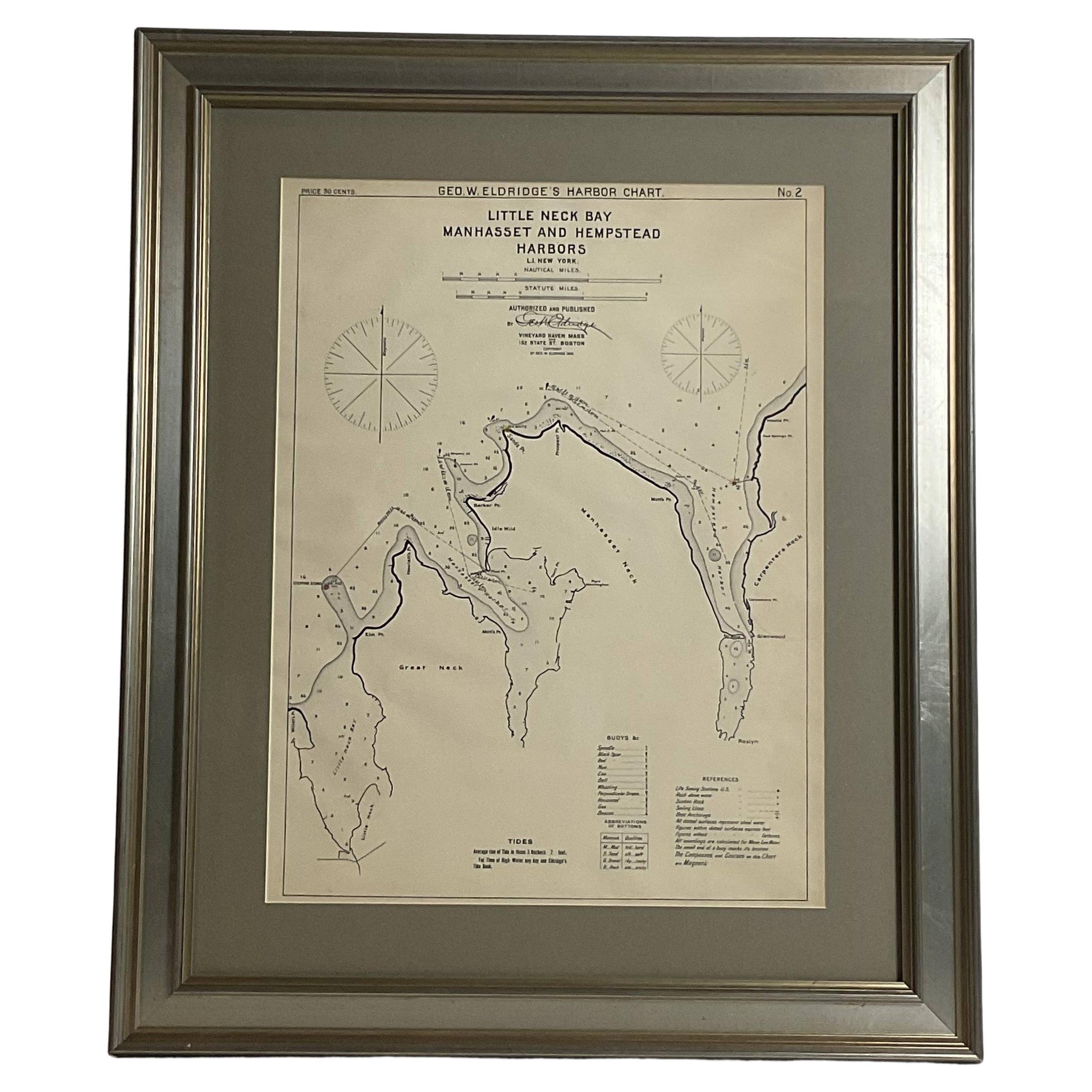
View AllMariners charts of Massachusett Long Island by George Eldridge 1901
Located in Norwell, MA
Nautical Chart showing the harbor and local waters of the Little Neck Bay, Manhasset and Hempstead Harbors. The chart displays depths, buoys, lighthouses, etc., Shown is Manhasset Ne...
Category
Antique Early 1900s North American Prints
Materials
Paper
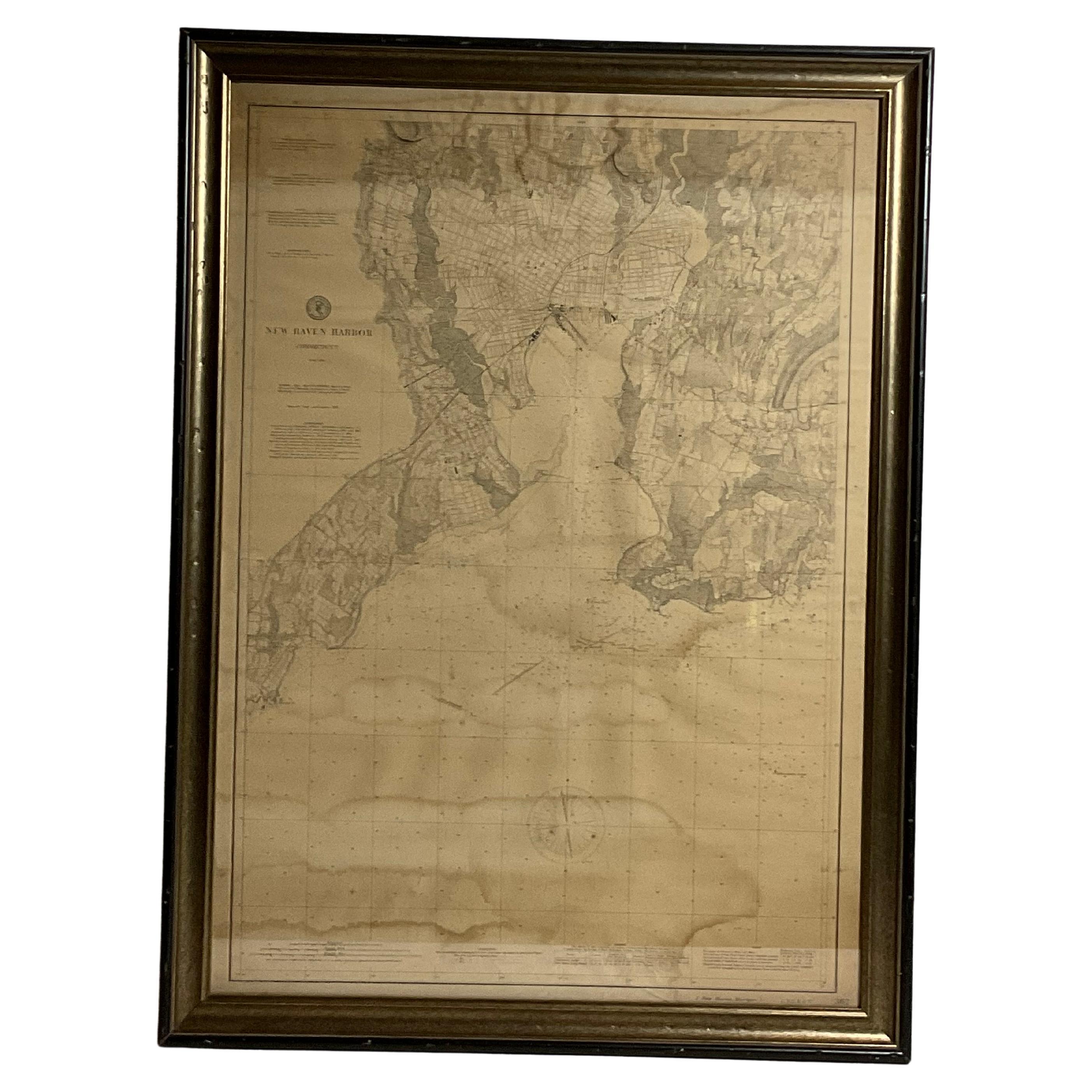
1896 Chart of the New Haven Harbor
Located in Norwell, MA
New Haven Harbor Chart published May 1896 by the United States Coast and geodetic survey. This chart is also a map of the land around the harbor and etc., loaded with detail. Nicely ...
Category
Antique 1890s North American Prints
Materials
Paper
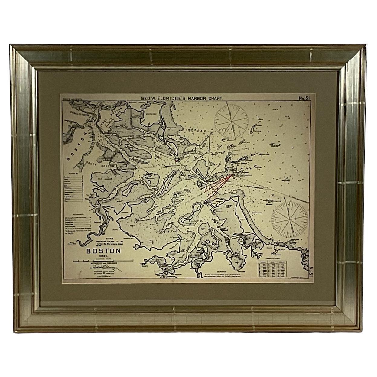
Copy of 1901 Chart of Boston Harbor
Located in Norwell, MA
Later copy after an original Boston Harbor chart by George Eldridge of Vineyard Haven and Boston. Detailed chart of Boston Harbor from the Neponset River in Quincy south down to Kimb...
Category
Vintage 1910s North American Prints
Materials
Paper
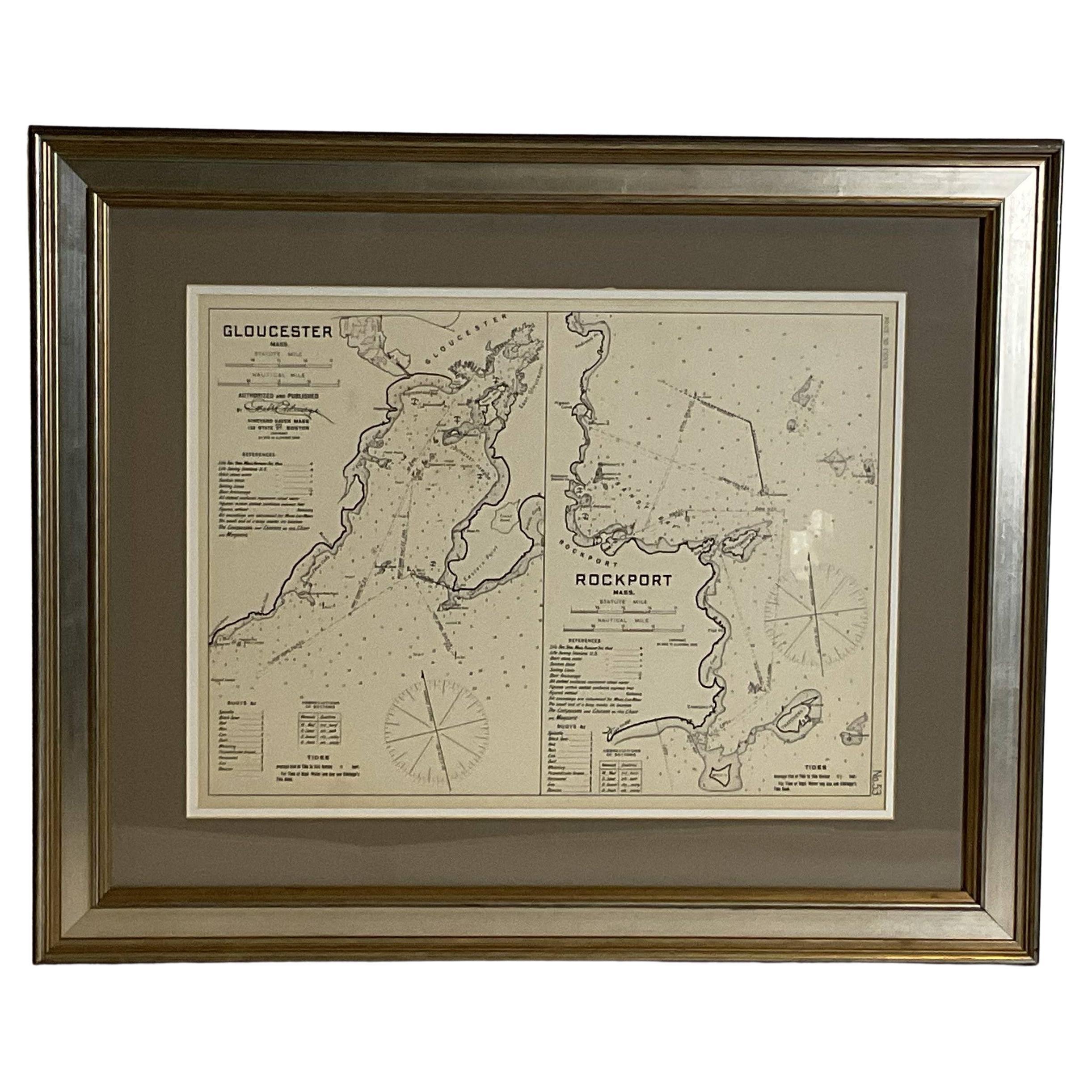
Mariners Chart of Gloucester and Rockport by George Eldridge 1910
Located in Norwell, MA
Nautical chart showing the harbor and local water. The chart display depths buoys, lighthouses, etc., This chart shows Eastern Point, Rocky Neck, Stage head, Thatcher Island, Sandy B...
Category
Vintage 1910s North American Prints
Materials
Paper
Long Island Chart from 1828
Located in Norwell, MA
Rare original chart of Long Island Sound by E + G Blunt of New York, 179 Water St. "Surveyed in the years 1828, 29 & 30" Exceedingly rare and early chart, titled Long Island Sound fr...
Category
Antique 1830s Nautical Objects
Materials
Paper
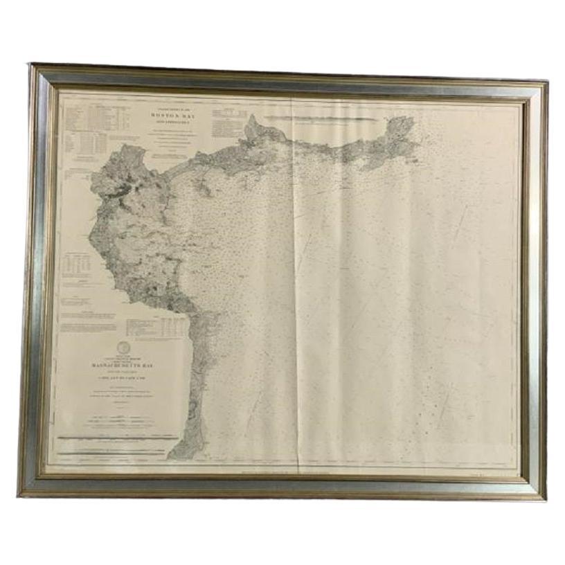
1898 Chart of Boston Bay
Located in Norwell, MA
Original 1898 chart showing Massachusetts Bay with the coast from Cape Ann to Cape Cod. This is a U.S. Navy Geodetic survey chart. All towns are noted along the coast. Framed with gl...
Category
Antique 1890s Nautical Objects
Materials
Paper
$1,495
You May Also Like
Framed Mid-19th Century Wall Map of Long Island, the Hamptons
Located in Sag Harbor, NY
A Framed museum quality find. This large wall map dates to the mid-1800s. Detailed inset maps of, Sag Harbor, East Hampton, Amagansett, Shelter Island and most villages in Long Island. It also has agriculture stats for 1855. Detailed prints of homes on Scuttle Hole in Bridgehampton as well as several other detailed prints. Lists of businesses, distance tables and railroad schedules and stops. The total amount of detailed information about Suffolk County Long Island is staggering. A unique rare New York map...
Category
Antique Mid-19th Century American Maps
Materials
Linen, Paper
$7,100 Sale Price
20% Off
Vintage 50s Original Topographical Map of the Florida Keys
Located in West Palm Beach, FL
A fabulous vintage Coastal original topographical map. A view of the Florida Keys and surrounding waters. Part of a trio of three maps. Al three are a...
Category
Mid-20th Century American Decorative Art
Materials
Glass, Wood, Paper
Large U.S. Coast and Geodetic Survey Chart A of the Atlantic Coast, 1877
Located in Nantucket, MA
Large U.S. Coast and Geodetic Survey Chart A of the Atlantic Coast, 1877, re-issued in February 1881, a printed paper laid down on linen navigational chart of the U.S. Atlantic coast...
Category
Antique 1880s American Other Maps
Materials
Linen
19th Century Chart of New England Coast, 1847
By U.S. Government
Located in Nantucket, MA
19th Century Chart of New England Coast: the U.S. Coast Survey Sketch A - Section 1, a triangulation chart showing the progress of the survey and details along the New England coas...
Category
Antique 1840s American Other Maps
Materials
Paper
DesBarres (1776) Chart of Nantucket Island, 1966 Restrike
Located in Nantucket, MA
DesBarres (1776) Chart of Nantucket Island and the Eastern Half of Martha's Vineyard Restrike, published by the Massachusetts Historical Society in association with Haley & Steel...
Category
Vintage 1960s American Other Maps
Materials
Paper
Antique Chart of the Friendly Islands or Tonga in the Pacific Ocean, 1785
By James Cook
Located in Langweer, NL
Antique print titled 'Chart of the Friendly Islands'. Antique map of the Friendly Islands depicting Rotterdam or Anamocka, Middelburg or Eaoowe and Amsterdam or Tongatabu. Originates...
Category
Antique 18th Century Prints
Materials
Paper
$181 Sale Price
20% Off
More Ways To Browse
Charles Hutchinson
Porcelain Monkeys
Porcelain Panther
Postal Scale
Pottery Bank
Pre Columbian Peru Chimu
Punch And Judy
Quito School
Ray Kaiser
Red Robin Vintage
Repurposed Industrial
Reticulated China
Retro Drawers
Revolving Book Table
Roman Chest
Rosenthal Studio Linie Bjorn Wiinblad
Round Marble Column
Royal Doulton Arts And Crafts
