128 results for "antique world map poster"

to
4
118
10
78
46
30
21
19
16
12
12
10
8
8
8
8
6
5
4
4
3
3
3
2
2
2
2
1
1
1
1
1
1
1
1
1
1
1
1
8
2
1
1
1
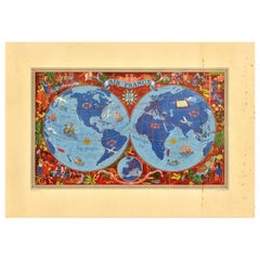
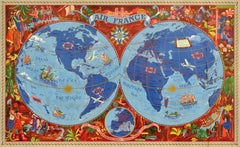
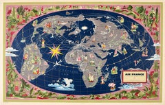
Original Vintage Poster Air France Reseau Aerian Mondial Planisphere World Map

Original Vintage Poster Air France Reseau Aerian Mondial Planisphere World Map

By Lucien Boucher

Located in London, GB

Original vintage Air France travel advertising poster featuring a map of the world by Lucien Boucher (1889-1971): Air France Reseau Aerian Mondial / Global Air Network. Colourful planisphere design showing the airline routes around the world marking the continents, countries, cities and oceans with scenes of local people in traditional clothing, sport activities, boats and ships at sea, farming, animals, mythical figures and planes flying overhead, a decorative compass point above and the title text with the Air France seahorse...

Category

Vintage 1930s French Posters

Materials

Paper

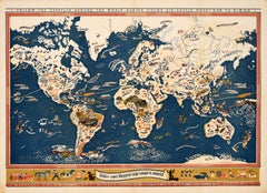
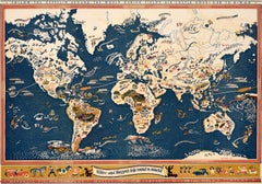
Original Vintage Pictorial Poster Zeppelin Map USA Hiker World Trip Edgar Miller

Original Vintage Pictorial Poster Zeppelin Map USA Hiker World Trip Edgar Miller

Located in London, GB

Original vintage pictorial map poster - Hiker and Buzzer's Trip 'Round the World / Follow the Zeppelin around the world during Field's Air Castle Hour 5:30 to 6 W.G.N - designed by t...

Category

Vintage 1920s American Posters

Materials

Paper

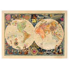
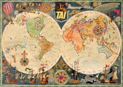
Original Vintage Travel Poster TAI Airline Planisphere Map Luc Marie Bayle

Original Vintage Travel Poster TAI Airline Planisphere Map Luc Marie Bayle

Located in London, GB

Original vintage travel advertising poster - TAI Transports Aeriens Intercontinentaux Map of the World - Colourful planisphere by Luc-Marie Bayle (1914-2000) showing the airline's ro...

Category

Vintage 1960s French Posters

Materials

Paper

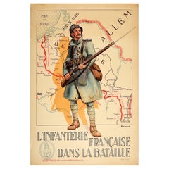
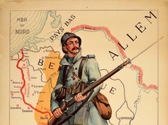
Original Antique Poster French Infantry In Battle WWI Hindenburg Line Europe Map

Original Antique Poster French Infantry In Battle WWI Hindenburg Line Europe Map

Located in London, GB

Original antique World War One poster - French Infantry In Battle / L'Infanterie Francais Dans La Bataille - featuring an image of a French soldier in uniform wearing a winter coat a...

Category

Vintage 1910s French Posters

Materials

Paper

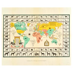
Original Vintage Poster Dog Map Of The World Canine Joseph Patterson Sims

Original Vintage Poster Dog Map Of The World Canine Joseph Patterson Sims

Located in London, GB

Original vintage map poster - Dog Map of the World - designed by Joseph Patterson Sims (1890-1953) featuring a colourful pictorial map with decorative illustrations including a compa...

Category

Vintage 1940s American Posters

Materials

Paper

Original Vintage Poster British Airways BOAC BSAA BEA World Route Map Air Travel

Original Vintage Poster British Airways BOAC BSAA BEA World Route Map Air Travel

Located in London, GB

Original vintage advertising poster promoting British airline companies - BEA BOAC BSAA British European Overseas S American Airways - featuring a colourful graphic design showing three yellow and orange maps marked with flight routes and the respective company logo in white on black backgrounds. In 1949 BOAC British...

Category

Vintage 1940s British Posters

Materials

Paper

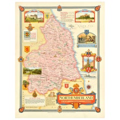
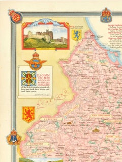
Original Vintage Post-World War Two Map Poster Northumberland UK WWII Clegg

Original Vintage Post-World War Two Map Poster Northumberland UK WWII Clegg

Located in London, GB

Original vintage post-World War Two map poster for Northumberland in north east England featuring a colourful design by Ernest Costain Clegg (1876-1954) of the ceremonial county with...

Category

Vintage 1940s British Posters

Materials

Paper

Original Antique World War One Poster Hark The Dogs Do Bark WWI Dogs Of War

Original Antique World War One Poster Hark The Dogs Do Bark WWI Dogs Of War

Located in London, GB

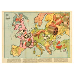
Original Antique World War One poster - Hark! Hark! The dogs do bark! With note by Walter Emanuel - featuring a serio-comic map of Europe at war with military soldier caricature portraits and some countries represented by dogs with Russia as a bear, a Royal Navy sailor holding leashes on warships crossing to the continent, a British bulldog seen biting German dachshund in a pickelhaube hat, a French poodle in a Phrygian cap, an Austria-Hungarian mongrel being stung by a Serbian wasp, a Swiss mountain climber, a Turk with a French bulldog, a Greek with a knife, a Spanish bullfighter, a Dutchman smiling, an Italian holding a pistol gun with the Russian Tsar...

Category

Vintage 1910s British Posters

Materials

Paper

Original Antique World War One Poster Boys Come Over Here WWI Recruitment

Original Antique World War One Poster Boys Come Over Here WWI Recruitment

Located in London, GB

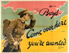
Original antique World War One recruitment poster encouraging men to enlist in the army and fight the war in France - Boys Come over here you’re wanted - featuring a great design dep...

Category

Vintage 1910s British Posters

Materials

Paper

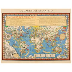
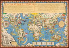
Original WWII Illustrated Map Poster - Time And Tide Map Of The Atlantic Charter

Original WWII Illustrated Map Poster - Time And Tide Map Of The Atlantic Charter

By "Leslie MacDonald ""Max"" Gill"

Located in London, GB

Original vintage illustrated map poster in Spanish by the notable graphic designer, cartographer and artist MacDonald Gill (Leslie MacDonald Gill aka Max Gill; 1884-1947) commissioned by the British Time & Tide magazine (1920-1986) following the World War Two Atlantic Charter agreement between the US President Franklin D. Roosevelt and UK Prime Minister Winston Churchill "for a better future for the world" 14 August 1941 - La Carta del Atlantico. Stunning design featuring detailed colorful pictorial depictions of agriculture and food production, Industrial raw materials and traditional life around the world including images of people, animals, trees, cattle, ships at sea, planes flying overhead and markers with a symbol box listing the locations of metals, wine, crops, petroleum, tobacco, sugar, rubber, silk, coffee, fruit, precious stones etc., surrounded by clouds on the sides and the sun shining down from The Atlantic Charter in the text box at the top with a black and white image below of an Industrial metal worker destroying tanks and machinery and a farming family ploughing a field with horses, the cities, countries, continents and quotes in banners with a seal and a compass point on both sides, all framed within a decorative border. Printed in Great Britain by Philip George & Son Ltd London and published in collaboration with the Time and Tide...

Category

Vintage 1940s British Posters

Materials

Paper

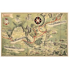
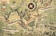
Original Vintage Advertising Poster Messageries Maritimes Far East Map H Baille

Original Vintage Advertising Poster Messageries Maritimes Far East Map H Baille

By Hervé Baille

Located in London, GB

Original vintage advertising poster for Messageries Maritimes Viet-Nam / Vietnam Cambodge / Cambodia Laos Courriers d'Extreme Orient / Far East featuring a fantastic illustrated map ...

Category

Vintage 1950s French Posters

Materials

Paper

Original Vintage Travel Poster Phillipine Airlines Route Of The Orient Star PAL

Original Vintage Travel Poster Phillipine Airlines Route Of The Orient Star PAL

Located in London, GB

Original vintage travel advertising poster - Philippine Air Lines Route of the Orient Star - featuring a pictorial map of the world marking the airline route connecting Manila in the...

Category

Vintage 1950s American Posters

Materials

Paper

Original Vintage WWII Poster De Dollarpoliep The US Dollar Polyp Octopus War Map

Original Vintage WWII Poster De Dollarpoliep The US Dollar Polyp Octopus War Map

Located in London, GB

Original vintage anti-American imperialism World War Two political propaganda poster - De Dollarpoliep / The Dollar Polyp or The Dollar Octopus - featuring an image of a US dollar sign with octopus like tentacles reaching into different countries on a map in and around North and South America marking areas with dates on each tentacle, war ships at sea and military planes flying towards it on both sides from the Atlantic and Pacific Oceans with sunken ships at sea and a sword marked with a rising sun emblem of Japan cutting through the tentacle dated 1898 round the Philippines on a black background, the title text above and information on the side and below with the quote on a paper background, translated from the Dutch - The well-known American publicist Henry R. Luce recently wrote in Life a magazine read by millions of Americans: "In 1919 we had a great opportunity to take control of the world. Wilson made bad use of it and we lost that chance. But whatever happens, by our collective effort Roosevelt must succeed where Wilson failed." For Americans, the law of nations is the law of the wilderness. America to Americans means that every country where the Yankees want to plant their flag suddenly becomes America and falls under the Monroe Doctrine. The history of America is one imperialistic rampage, shooting dollars instead of bullets! By exploiting European wars, America's traditional policy is to enrich itself with European interests in the Atlantic and the Pacific. So Roosevelt also thought to exploit this war for American world domination! Already dying England has made its sacrifice. But for the first time, America miscalculated! Japan and Germany now encircle America in the two Oceans...

Category

Vintage 1940s Dutch Posters

Materials

Paper

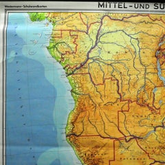
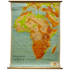
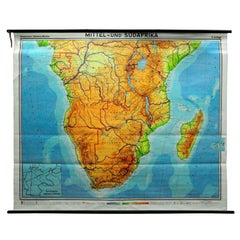
Countrycore Mural Vintage Map Wall Chart Rollable Poster Central South Africa

Countrycore Mural Vintage Map Wall Chart Rollable Poster Central South Africa

Located in Berghuelen, DE

The cottagecore pull-down mural map depicts Middle and South Africa. Published by Westermann. Colorful print on paper reinforced with canvas. A great scroll picture with a vintage lo...

Category

Vintage 1970s German Country Posters

Materials

Canvas, Wood, Paper

Original Vintage War Poster Soviet Pilot Civil Air Fleet Partisans USSR WWII

Original Vintage War Poster Soviet Pilot Civil Air Fleet Partisans USSR WWII

Located in London, GB

Original vintage Soviet World War Two propaganda poster featuring a dynamic design depicting a Soviet air force pilot with medals on his uniform below a thick coat, wearing flying go...

Category

Vintage 1940s Russian Posters

Materials

Paper

Original Vintage Sport Poster Dolder Zurich Ice Skating Rink Switzerland Hockey

Original Vintage Sport Poster Dolder Zurich Ice Skating Rink Switzerland Hockey

By Franco Barberis

Located in London, GB

Original vintage sport poster for the Dolder Eisbahn Zurich ice skating rink open daily from 9-22:30 featuring a great design by the Swiss artist Franco Barberis (1905-1992) depictin...

Category

Vintage 1930s Swiss Posters

Materials

Paper

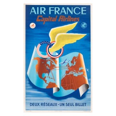
Plaquet, Original Air France Poster, Capital Airlines, USA, Aviation, Plane 1952

Plaquet, Original Air France Poster, Capital Airlines, USA, Aviation, Plane 1952

Located in SAINT-OUEN-SUR-SEINE, FR

Original Vintage Poster for Air France and Capital Airlines created by Plaquet in 1952. Artist: Plaquet Title: Air France Capital Airlines – Deux réseaux un seul billet Date: 1952 S...

Category

20th Century French Mid-Century Modern Posters

Materials

Paper

Original Vintage Travel Poster Air France Jet Age Planisphere Lucien Boucher

Original Vintage Travel Poster Air France Jet Age Planisphere Lucien Boucher

By Lucien Boucher

Located in London, GB

Original vintage travel poster for Air France Le Plus Grand Reseau du Monde / The Largest Network in the World featuring a colourful planisphere map design by the notable French arti...

Category

Vintage 1960s French Posters

Materials

Paper

Rare Calhoun Print Poster Hartford Circus in Town Framed 1900's

Rare Calhoun Print Poster Hartford Circus in Town Framed 1900's

By Calhoun Print Co.

Located in San Diego, CA

Printed in the third quarter of the 19th century, this fine poster was printed by Calhoun Print Hartford. The Calhoun Company was noted for its large colorful posters, street banne...

Category

20th Century American Art Nouveau Posters

Materials

Glass, Wood, Paper

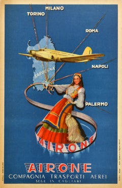
Original Vintage Travel Advertising Poster Airone Compagnia Trasporti Aerei

Original Vintage Travel Advertising Poster Airone Compagnia Trasporti Aerei

Located in London, GB

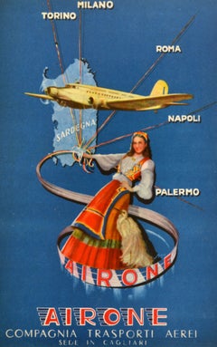
Original vintage travel advertising poster for the Italian airline Airone Compagnia Trasporti Aerei sede in Cagliari (1944-1949) promoting flights from Sardinia to the Italian mainla...

Category

Vintage 1940s Italian Posters

Materials

Paper

Original Vintage World War Two French Wine Vineyard Copper Recycling WWII Design

Original Vintage World War Two French Wine Vineyard Copper Recycling WWII Design

By Rene Ravo

Located in London, GB

Original vintage World War Two era propaganda poster - French vineyards are in peril To sulfate our vines we need copper / Le Vignoble Francais Est en Peril Pour Sulfater Nos Viones Il Faut Du Cuivre - featuring a great design by Rene Ravo...

Category

Vintage 1940s French Posters

Materials

Paper

Original Vintage Travel Poster Geneva Intercontinental Airport Swissair Jets

Original Vintage Travel Poster Geneva Intercontinental Airport Swissair Jets

By Walter Mahrer 1

Located in London, GB

Original vintage travel advertising poster - Geneva Intercontinental Airport Fly Swissair Jets Linking the World - featuring a colourful design depicting a plane taking off at speed ...

Category

Vintage 1960s Swiss Posters

Materials

Paper

Vintage Airline Poster-Dad-Aigle Azur-France-North Africa Algeria, 1950

Vintage Airline Poster-Dad-Aigle Azur-France-North Africa Algeria, 1950

Located in SAINT-OUEN-SUR-SEINE, FR

Vintage Airline Poster-Papa-Aigle Azur-France-North Africa Algeria, 1950 Additional Details: Materials and Techniques: Colour lithograph on paper Color: Blue, Grey Region of Origin: Algeria Framing: Unframed Country/Region of Manufacture: France Style: Vintage Theme: Advertising, Aviation Type: Vintage Poster Features: Signed, 1st Edition Subject: Travel Certificate of Authenticity (COA): Yes Culture: Algeria Signed: Yes Signed By: Dad Original/Licensed Reprint: Original COA Issued By: Nicholas Moufflet Paris Fine Arts Unit of Sale: Single-Piece Work Size: Medium (up to 36in.) Size: 24 x...

Category

Vintage 1950s French Posters

Materials

Paper

Original San Francisco Olympic Summer Games Poster, 2002 by Ward Schumaker

Original San Francisco Olympic Summer Games Poster, 2002 by Ward Schumaker

Located in San Francisco, CA

ABOUT An exceptional series of contemporary graphic design, aimed at bringing the Summer Olympic Games to the Bay Area in 2012. The Bridge to the Future original poster series from ...

Category

21st Century and Contemporary American Modern Posters

Materials

Paper

W&A K Johnston’s Charts of Physical Maps by G W Bacon

W&A K Johnston’s Charts of Physical Maps by G W Bacon

Located in Godshill, Isle of Wight

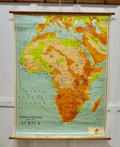
Large University chart “Africa Physical Political” by Bacon W&A K Johnston’s charts of physical maps by G W Bacon, This is a Physical Political map...

Category

Early 20th Century Rustic Posters

Materials

Linen

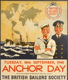
Original Vintage War Charity Poster Anchor Day Thank You British Sailors WWII

Original Vintage War Charity Poster Anchor Day Thank You British Sailors WWII

Located in London, GB

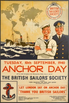
Original vintage World War Two charity fundraising appeal poster for Anchor Day held on 10 September 1940 throughout the Metropolitan Police Area in aid of The British Sailors' Socie...

Category

Vintage 1940s British Posters

Materials

Paper

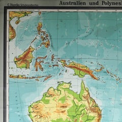
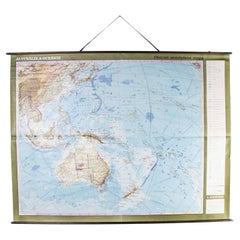
Late 20th Century Educational Geographic Map - Australasia

Late 20th Century Educational Geographic Map - Australasia

Located in Hook, Hampshire

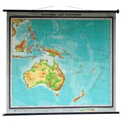
Late 20th Century Educational Geographic Map – Australasia Late 20th Century Educational Geographic Map – Australasia. Good quality roll up school educational geographic map from the...

Category

Late 20th Century Czech Posters
Materials

Cotton

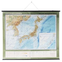
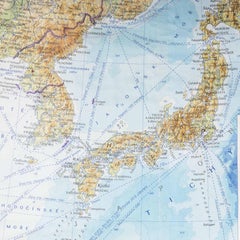
Late 20th Century Educational Geographic Map - Japan - Korea

Late 20th Century Educational Geographic Map - Japan - Korea

Located in Hook, Hampshire

Late 20th Century Educational Geographic Map – Japan – Korea Late 20th Century Educational Geographic Map – Japan – Korea. Good quality roll up school educat...

Category

Late 20th Century Czech Posters
Materials

Cotton

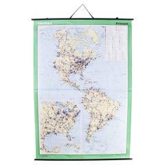
Late 20th Century Educational Geographic Map - Continent Of Americas Industry

Late 20th Century Educational Geographic Map - Continent Of Americas Industry

Located in Hook, Hampshire

Late 20th Century Educational Geographic Map – Continent Of Americas Industry Late 20th Century Educational Geographic Map – Continent Of Americas Industry. Good quality roll up scho...

Category

Late 20th Century Czech Posters

Materials

Cotton

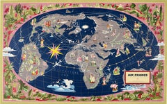
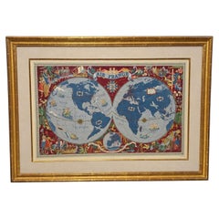
Lucien Boucher Air France Double-Hemisphere Planisphere Lithograph, France

Lucien Boucher Air France Double-Hemisphere Planisphere Lithograph, France

By Lucien Boucher

Located in Atlanta, GA

A mid-century French Air France pictorial world map after Lucien Boucher (French, 1889–1971), the celebrated designer of the airline’s “planisphere” poster series. Executed as a colo...

Category

20th Century French Mid-Century Modern Posters

Materials

Giltwood, Paper

Original Antique Map of The World by Thomas Clerk, 1817

Original Antique Map of The World by Thomas Clerk, 1817

Located in St Annes, Lancashire

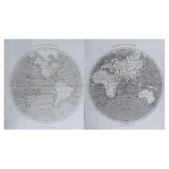
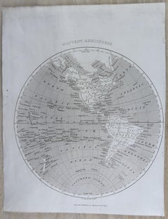
Great map of The Eastern and Western Hemispheres On 2 sheets Copper-plate engraving Drawn and engraved by Thomas Clerk, Edinburgh. Published by Mackenzie And Dent, 1817 ...

Category

Antique 1810s English Maps

Materials

Paper

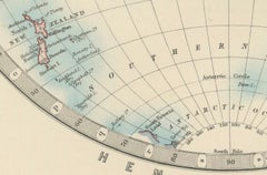
Antique World Map in Hemispheres with Delicate Pastel Coloring, 1903

Antique World Map in Hemispheres with Delicate Pastel Coloring, 1903

Located in Langweer, NL

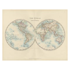
Title: Antique World Map in Hemispheres with Delicate Pastel Coloring, 1903 Description: This stunning antique map, titled "The World in Hemispheres," dates back to 1903 and offers ...
Category

Early 20th Century Scottish Maps

Materials
Paper

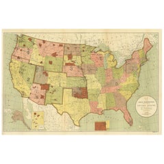
Antique Map Showing the Locations of Native American Tribes in 1899

Antique Map Showing the Locations of Native American Tribes in 1899

Located in Langweer, NL

Antique map titled 'Map showing the Indian Reservations within the Limits of the United States'. Large folding map of the United States showing the Indian Reservations. The present m...

Category

Antique Late 19th Century Maps

Materials

Paper

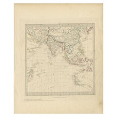
Antique Map of Southeast Asia by Walker, c.1845

Antique Map of Southeast Asia by Walker, c.1845

Located in Langweer, NL

"Untitled map of southeast Asia. This map depicts India, Indonesia, Australia and surrounding regions. Also depicts a large part of the Indian Ocean. Artists and Engravers: Engraved ...

Category

Antique 19th Century Maps

Materials

Paper

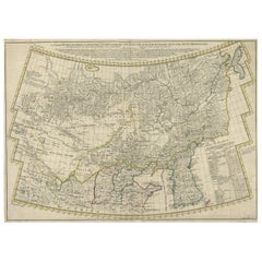
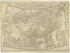
Rare Hand-Colored Antique Map of Tartary, China and Korea, ca.1741

Rare Hand-Colored Antique Map of Tartary, China and Korea, ca.1741

Located in Langweer, NL

Antique map titled 'A General Map of Eastern and Western Tatary, commonly call'd Tartary; drawn from the Particular Maps of the Jesuit Missionaries'. Rare antique map of Tartary, C...

Category

Antique 1740s Maps

Materials

Paper

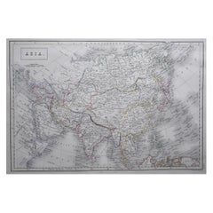
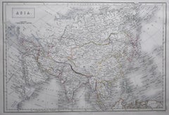
Large Original Antique Map of Asia by Sidney Hall, 1847

Large Original Antique Map of Asia by Sidney Hall, 1847

Located in St Annes, Lancashire

Great map of Asia Drawn and engraved by Sidney Hall Steel engraving Original colour outline Published by A & C Black. 1847 Unframed Free shipping

Category

Antique 1840s Scottish Maps

Materials

Paper

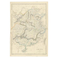
Antique Map of China, 1874

Antique Map of China, 1874

Located in Langweer, NL

Antique map titled 'China'. Detailed map of China originates from Blackie's 'The Comprehensive Atlas & Geography of the World'. Artists and Engravers: ...

Category

Antique 19th Century Maps

Materials

Paper

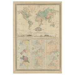
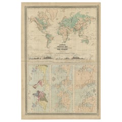
Four Physical Maps of the World on One Sheet , 1872

Four Physical Maps of the World on One Sheet , 1872

Located in Langweer, NL

Four physical maps of the world on one sheet. The upper map shows lowlands, highlands and highest lands. The other maps show world's races, ocean current and volcanoes, and magnetic ...

Category

Antique Late 19th Century Maps

Materials

Paper

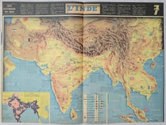
World War II Pictorial Map of India and Southeast Asia by Jacques Mercier, 1942

World War II Pictorial Map of India and Southeast Asia by Jacques Mercier, 1942

Located in Langweer, NL

World War II Pictorial Map of India and Southeast Asia by Jacques Mercier, 1942 DESCRIPTION: Original World War II-era pictorial map of India and Southeast Asia, designed by French ...

Category

Mid-20th Century French Art Deco Maps

Materials

Paper

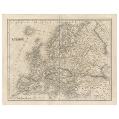
Antique Map of Europe by Balbi '1847'

Antique Map of Europe by Balbi '1847'

Located in Langweer, NL

Antique map titled 'Europe'. Original antique map of Europe. This map originates from 'Abrégé de Géographie (..)' by Adrien Balbi. Published 1847.

Category

Antique Mid-19th Century Maps

Materials

Paper

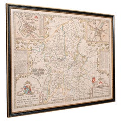
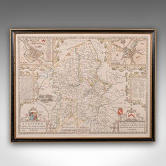
Antique Stafford County Map, English, Atlas Engraving, 17th Century, Cartography

Antique Stafford County Map, English, Atlas Engraving, 17th Century, Cartography

Located in Hele, Devon, GB

This is an antique Stafford County Map. An English, framed atlas engraving of Staffordshire, dating to the 17th century and later, circa 1676. Superb cartography reproduction of St...

Category

Antique Late 17th Century British Charles II Maps

Materials

Glass, Paper

Antique Map of Oceania by Levasseur, circa 1860

Antique Map of Oceania by Levasseur, circa 1860

Located in Langweer, NL

Antique map titled 'Carte générale de l'Océanie'. Large map of Oceania including New Zealand, Australia, Polynesia, Micronesia and the East Indies. This map originates from 'Atlas Un...

Category

Antique Mid-19th Century Maps

Materials

Paper

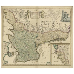
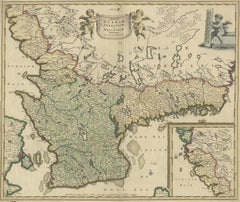
South Sweden Map with Inset of Halmstad – Antique Map by Frederik de Wit, c.1680

South Sweden Map with Inset of Halmstad – Antique Map by Frederik de Wit, c.1680

Located in Langweer, NL

South Sweden Map with Inset of Halmstad – Antique Map by Frederik de Wit, c.1680 This richly detailed antique map titled Accurata Scaniae, Blekingae et Hallandiae Descriptio present...

Category

Antique Late 17th Century Dutch Maps

Materials

Paper

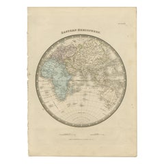
Antique Map of the Eastern Hemisphere by Wyld '1845'

Antique Map of the Eastern Hemisphere by Wyld '1845'

Located in Langweer, NL

Antique map titled 'Eastern Hemisphere'. Original antique map of the eastern hemisphere. This map originates from 'An Atlas of the World, Comprehending Separate Maps of its...

Category

Antique Mid-19th Century Maps

Materials

Paper

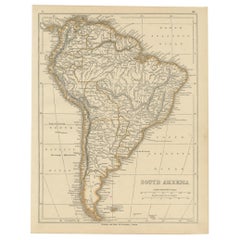
Antique Map of South America by Lowry, 1852

Antique Map of South America by Lowry, 1852

Located in Langweer, NL

Antique map titled 'South America'. Original map of South America. This map originates from 'Lowry's Table Atlas constructed and engraved from the most recent authorities' by J.W. Lo...

Category

Antique Mid-19th Century Maps

Materials

Paper

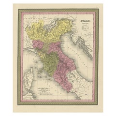
Old Antique Colourful Decorative Map of Northern Italy, 1846

Old Antique Colourful Decorative Map of Northern Italy, 1846

Located in Langweer, NL

Description: Antique map titled 'Italy North Part'. Old map of Northern Italy. This map originates from 'A New Universal Atlas Containing Maps of the various Empires, Kingdoms, S...

Category

Antique 1840s Maps

Materials

Paper

Antique Map of Europe by Levasseur 'c.1840'

Antique Map of Europe by Levasseur 'c.1840'

Located in Langweer, NL

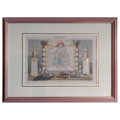
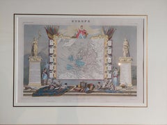
Antique map titled 'Europe'. Original antique map of Europe. Decorative map of the continent surrounded by allegorical vignettes. Engraved by Raimond Bonheur, father of the famous Fr...

Category

Antique Mid-19th Century Maps

Materials

Paper

Antique Map of the Netherlands in 1560 by Mees, 1853

Antique Map of the Netherlands in 1560 by Mees, 1853

Located in Langweer, NL

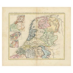
Antique map titled 'Noord-Nederland in 1560. Kerkelijke verdeeling, na de oprigting der nieuwe bisdommen'. Map of the Netherlands in 1560. This map originates from 'Historische Atlas...

Category

Antique 19th Century Maps

Materials

Paper

Antique Map of the Gulf of Tomini by Winkler Prins, 1878

Antique Map of the Gulf of Tomini by Winkler Prins, 1878

Located in Langweer, NL

Antique map titled 'Kaart van de Golf van Tomini of Gorontalo.' (Map of the Gulf of Tomini or Gorontalo.) This map shows the Gulf of Tomini near the Island of Sulawesi, Indonesia. Wi...

Category

Antique 19th Century Maps

Materials

Paper