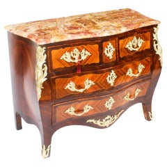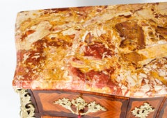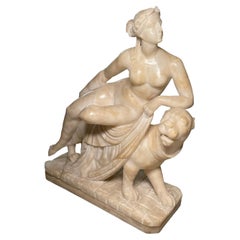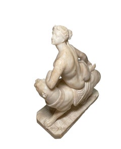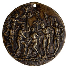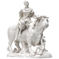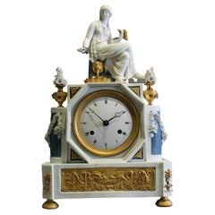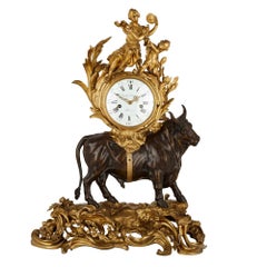
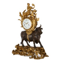
Louis XV Style Gilt and Patinated Bronze Mantel Clock by Balthazar
By Michel Baltazar
Located in London, GB
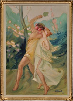
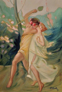
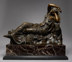
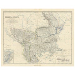
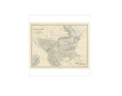
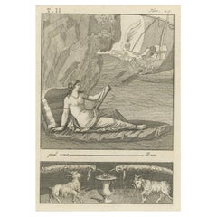
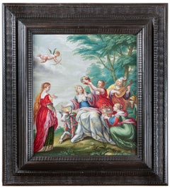
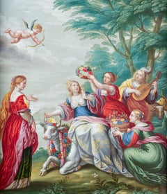
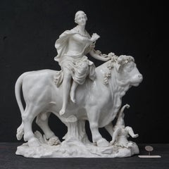
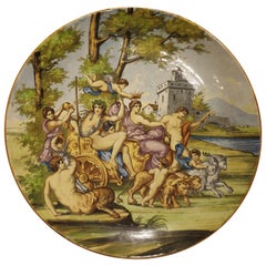
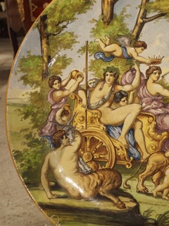
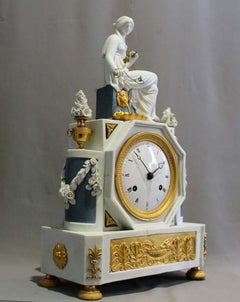
Europa then mounts the bull and Zeus whisks her away from her home to Crete. Europa becomes the Queen of Crete and bears Zeus several children.
Category
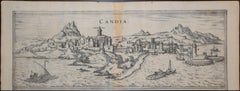
Late 19th Century French Louis XV Antique Crete
Materials
Enamel, Ormolu, Bronze