Items Similar to Original Map of Greece at the Time of the Dorian Migration, Published in 1880
Want more images or videos?
Request additional images or videos from the seller
1 of 7
Original Map of Greece at the Time of the Dorian Migration, Published in 1880
About the Item
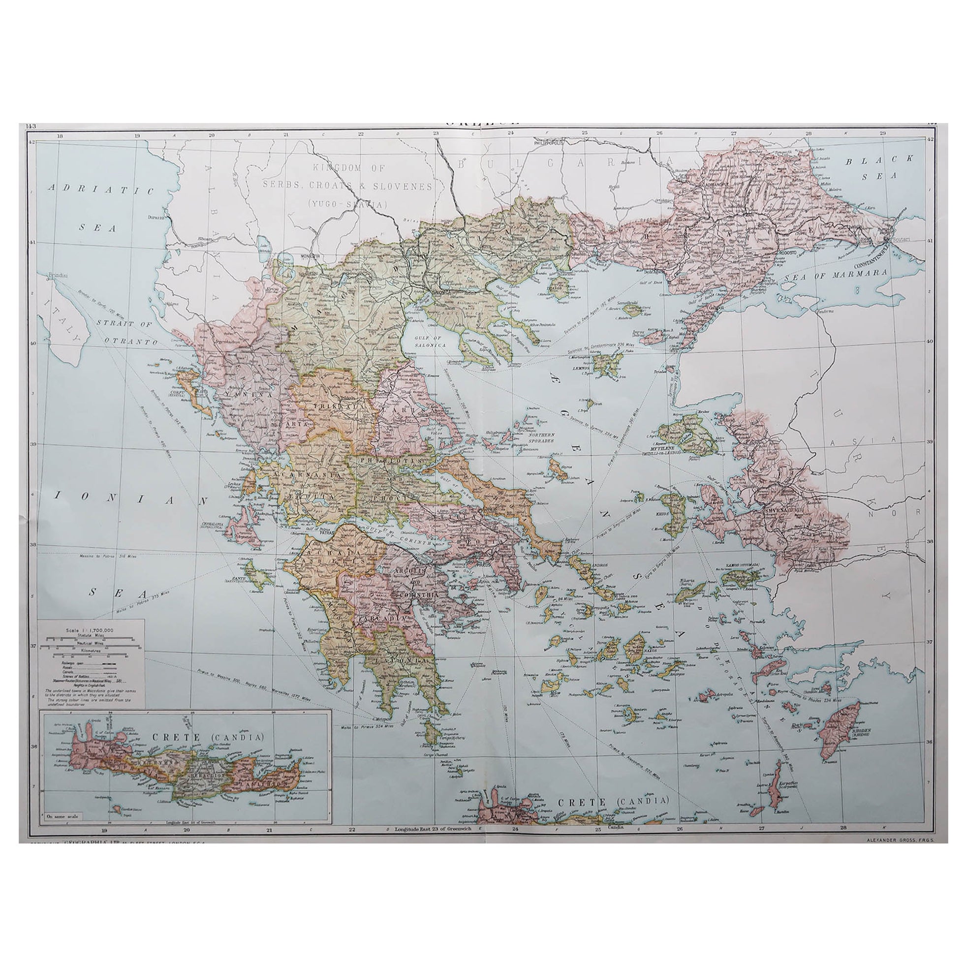
The map titled "GRAECIA TEMPORI MIGRATIONIS DORICAE," translates to "Greece at the Time of the Dorian Migration." This map showcases the regions of ancient Greece during the period following the legendary Dorian invasion, which according to tradition, led to the establishment of Dorian Greeks in the Peloponnese, Crete, and other parts of the Aegean.
Interesting aspects of the map include:
1. **Historical Period**: It illustrates Greece during a formative period of its history, which saw the reorganization of its peoples and the development of classical Greek culture.
2. **Geographical Detail**: The map includes detailed physical geography such as mountain ranges, valleys, islands, and bodies of water that have played significant roles in Greek history.
3. **Political Boundaries**: It may depict the ancient regions and principalities of Greece, such as Sparta, Athens, Thebes, and others during the period of the Dorian migration.
4. **Ancient Cities**: The map likely marks the locations of important ancient Greek cities and sanctuaries, which were key in the political, religious, and social life of Greece.
5. **Inset Maps**: There are several inset maps that likely provide more detail on specific regions, such as Thessaly, Epirus, the Cyclades, Crete (Creta), and historical sites like Troy (Troia) and Mycenae (Mycenae), giving additional context to the overall map.
6. **Cultural References**: This period in Greek history is rich in myth and legend, and the map may include references to various significant cultural and mythological events.
This map comes from the "Spruner-Menke Atlas Antiquus," a historical atlas compiled by Karl Spruner von Merz, known for its detailed and scholarly representations of ancient geographies. The atlas, later edited by Theodorus Menke, was widely used for educational purposes in the 19th century. The period covered by the map, the Dorian migration, is traditionally placed between the 12th and 11th centuries BC, a time that followed the collapse of the Mycenaean civilization and preceded the rise of classical city-states in Greece.
- Dimensions:Height: 15.56 in (39.5 cm)Width: 18.51 in (47 cm)Depth: 0 in (0.02 mm)
- Materials and Techniques:
- Period:
- Date of Manufacture:1880
- Condition:Good, given age. General age-related toning, especially around the edges. vertical folding line as issued. Please study scan carefully.
- Seller Location:Langweer, NL
- Reference Number:Seller: BG-13686-2-241stDibs: LU3054338557752
About the Seller
5.0
Platinum Seller
These expertly vetted sellers are 1stDibs' most experienced sellers and are rated highest by our customers.
Established in 2009
1stDibs seller since 2017
1,922 sales on 1stDibs
Typical response time: <1 hour
- ShippingRetrieving quote...Ships From: Langweer, Netherlands
- Return PolicyA return for this item may be initiated within 14 days of delivery.
Auctions on 1stDibs
Our timed auctions are an opportunity to bid on extraordinary design. We do not charge a Buyer's Premium and shipping is facilitated by 1stDibs and/or the seller. Plus, all auction purchases are covered by our comprehensive Buyer Protection. Learn More
More From This SellerView All
- Original Antique Map of Greece and Epirus after the Persian Wars, Published 1880Located in Langweer, NLThe map titled "GRAECIA, EPIRUS post bella Persica," translates to "Greece and Epirus after the Persian Wars." It covers the regions of ancient Greece and Epirus following the Greco-...Category
Antique 1880s Maps
MaterialsPaper
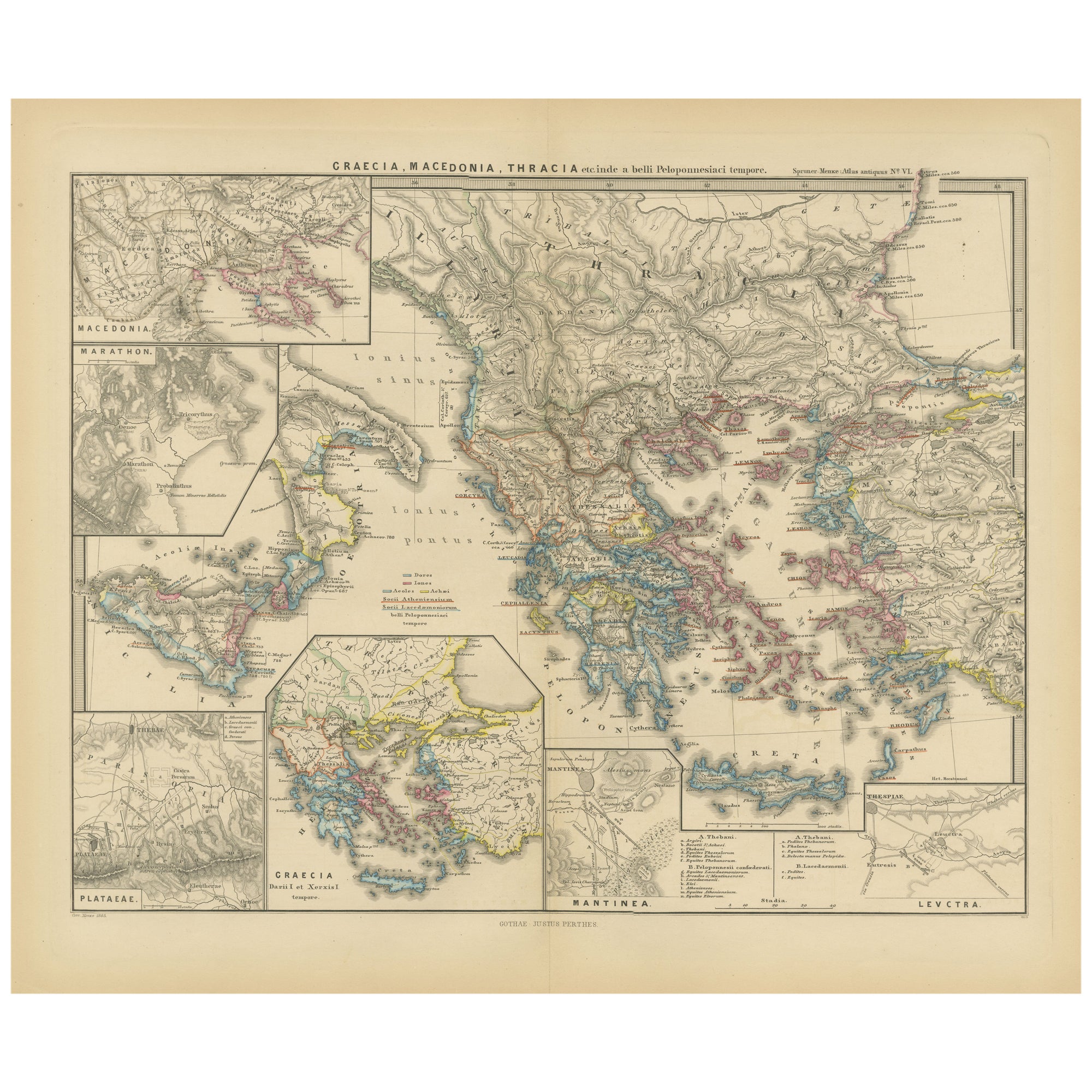
- Map of Greece, Macedonia, Thrace from the time of the Peloponnesian War, 1880Located in Langweer, NLThe map titled "GRAECIA, MACEDONIA, THRACIA et inde a bello Peloponnesiaco tempore," translates to "Greece, Macedonia, Thrace from the time of the Peloponnesian War." This period cor...Category
Antique 1880s Maps
MaterialsPaper
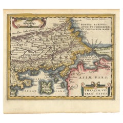
- Original Old Map of Northeastern Greece & Northwestern Turkey, Published in 1661Located in Langweer, NLThis small map was engraved by Petrus Kaerius and is based on Ortelius' map of the same title. It covers the ancient region of Thrace, present-day European Turkey and part of Greece....Category
Antique 1660s Maps
MaterialsPaper
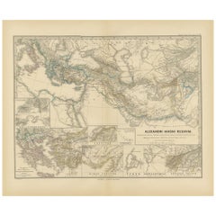
- Antique Map of The Kingdom of Alexander the Great, Published in 1880Located in Langweer, NLThe map is titled "ALEXANDRI MAGNI REGNUM," which translates to "The Kingdom of Alexander the Great." It depicts the vast territories conquered by Alexander the Great during his reig...Category
Antique 1880s Maps
MaterialsPaper
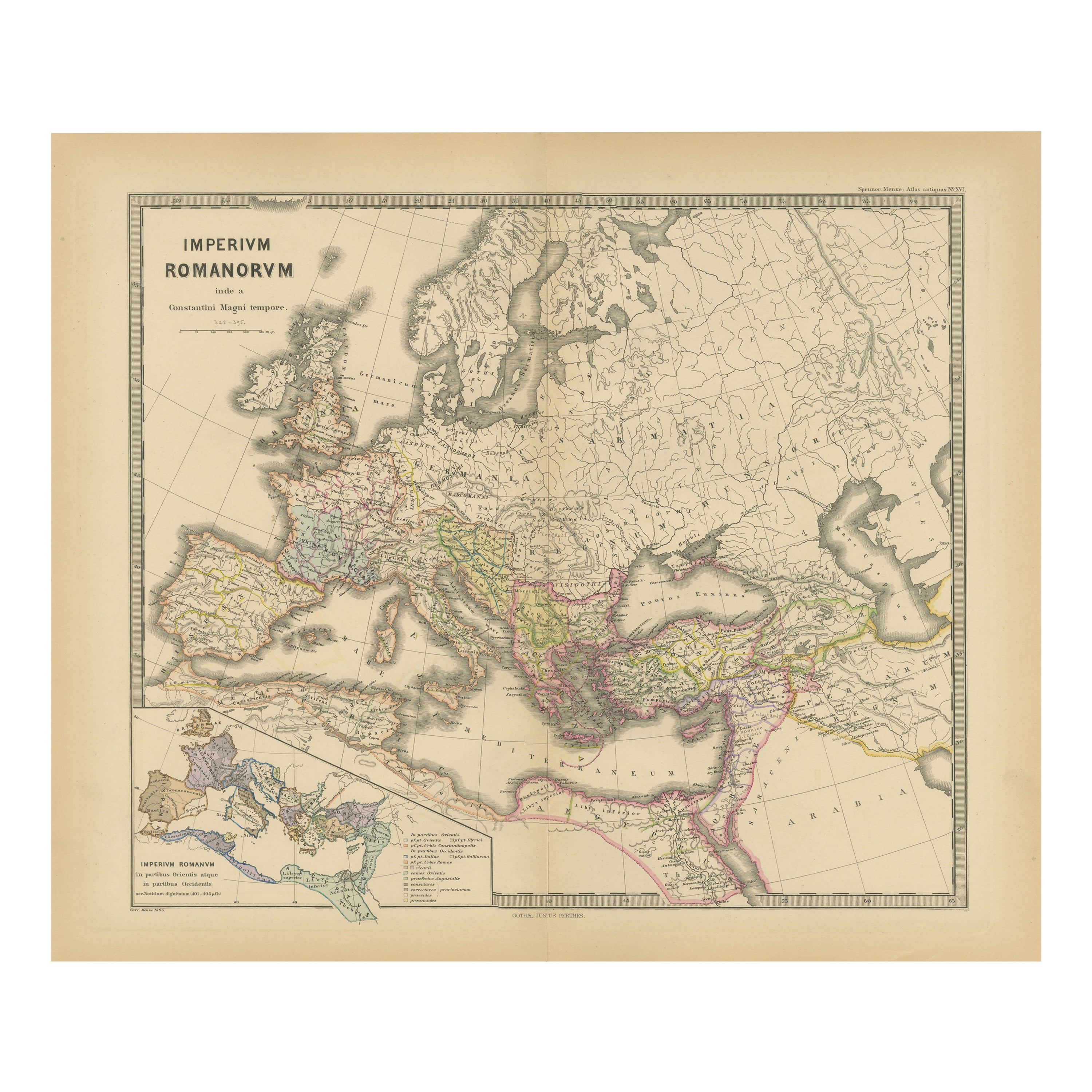
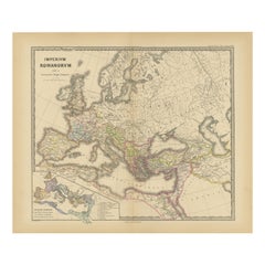
- The Roman Empire from the Time of Constantine the Great, Published in 1880Located in Langweer, NLAntique map titled: "IMPERIUM ROMANORUM inde a Constantini Magni tempore," which translates to "The Roman Empire from the time of Constantine the Great." This map is designed to re...Category
Antique 1880s Maps
MaterialsPaper
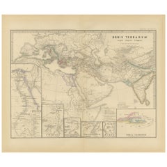
- The World in the Assyrian Empire's Era: A Historical Map, Published in 1880Located in Langweer, NLThis map from the "Spruner-Menke Atlas Antiquus" is titled "ORBIS TERRARVM regni Assyrii tempore," which translates to "The World at the Time of the Assyrian Kingdom." It depicts the...Category
Antique 1880s Maps
MaterialsPaper
You May Also Like
- The Holy Land at the Time of Jesus: A 17th Century Dutch Map by VisscherBy Nicolaes Visscher IILocated in Alamo, CAThis detailed Dutch map entitled "Het Beloofe de Landt Canaan door wandelt van onsen Salichmaecker Iesu Christo, nessens syne Apostelen" by Nicolaes Visscher was published in Amsterd...Category
Antique Mid-17th Century Dutch Maps
MaterialsPaper
- 1840 Map of the City of Washington Published by William M. MorrisonLocated in Colorado Springs, COThis map, printed in 1840, is a detailed representation of Washington, D.C. in the mid-19th century. The map shows block numbers, wards, and government buildings as well as details o...Category
Antique 1840s American Federal Maps
MaterialsPaper
- Antique Oarsman's Map of the River Thames, English, Cartography, Published 1912Located in Hele, Devon, GBThis is an antique copy of The Oarsman's and Angler's Map of the River Thames - New Edition. An English, bound map book, published in English by Edward Stanford, London, this new edi...Category
Early 20th Century British Other Books
MaterialsPaper
- 1842 Wall Map of the United States by J. H. Young, Published by S. A. MitchellLocated in Colorado Springs, COPresented is an 1842 hanging “Map of the United States,” engraved by J. H. Young and published by Samuel Augustus Mitchell, Philadelphia. This is a beautiful example of the rare 1842...Category
Antique 1840s American Maps
MaterialsPaper
- Jacob Lawrence - the Migration SeriesLocated in Bradenton, FLJacob Lawrence - The Migration Series. Softcover book, published by The Rappahannock Press in association with The Phillips Collection, Washing...Category
1990s American Books
MaterialsPaper
- 1880s Map of The Italian Alps from Milan to Lake GardaLocated in Roma, ITGeographical Map of the Profile and Elevation of the Italian Alps from Milano to Lake Garda. The map features the name of each peak and key cities including Monza, Brescia and Bergam...Category
Antique 1880s Italian Maps
MaterialsParchment Paper