Items Similar to Antique Oarsman's Map of the River Thames, English, Cartography, Published 1912

Want more images or videos?
Request additional images or videos from the seller
1 of 11
Antique Oarsman's Map of the River Thames, English, Cartography, Published 1912
About the Item
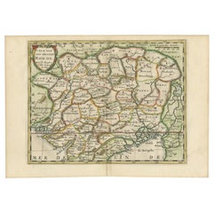
This is an antique copy of The Oarsman's and Angler's Map of the River Thames - New Edition. An English, bound map book, published in English by Edward Stanford, London, this new edition published in 1912.
Delightfully illustrated map charting the River Thames from its source in Kemble, Gloucestershire to London Bridge at a scale of one inch to a mile. Printed in colour and with a reference key that shows locks, weirs and railways et al. This new edition was published by Edward Stanford Limited of Long Acre, London.
Displays a time worn appearance, the initial pages present, but loose
The fold out map in very good antique condition commensurate with age
Bound in a green canvas over board, the titling in gilt finish
Across 25 pages spanning over 9 feet, the Thames map unfolds to a length of 2.83m (111.5'')
Along the map, the notes add riparian detail of boathouses and inns
This is a fascinating antique copy of The Oarsman's and Angler's Map of the River Thames. The fold-out map at a length of over 9 feet is astonishing and a treat to read from. Delivered ready to enjoy.
Dimensions:
Max Width: 11cm (4.25'')
Max Depth: 1.5cm (.5'')
Max Height: 16.5cm (6.5'')
Map Unfolded: 283cm (111.5'')
- Dimensions:Height: 6.5 in (16.5 cm)Width: 4.34 in (11 cm)Depth: 0.6 in (1.5 cm)
- Style:Other (In the Style Of)
- Materials and Techniques:
- Place of Origin:
- Period:
- Date of Manufacture:Circa 1912
- Condition:Wear consistent with age and use. Presented in delicate, time-worn antique condition. Some loose pages.
- Seller Location:Hele, Devon, GB
- Reference Number:
About the Seller
5.0
Platinum Seller
These expertly vetted sellers are 1stDibs' most experienced sellers and are rated highest by our customers.
Established in 2005
1stDibs seller since 2017
835 sales on 1stDibs
Typical response time: 2 hours
- ShippingRetrieving quote...Ships From: Hele, Devon, United Kingdom
- Return PolicyA return for this item may be initiated within 14 days of delivery.
More From This SellerView All
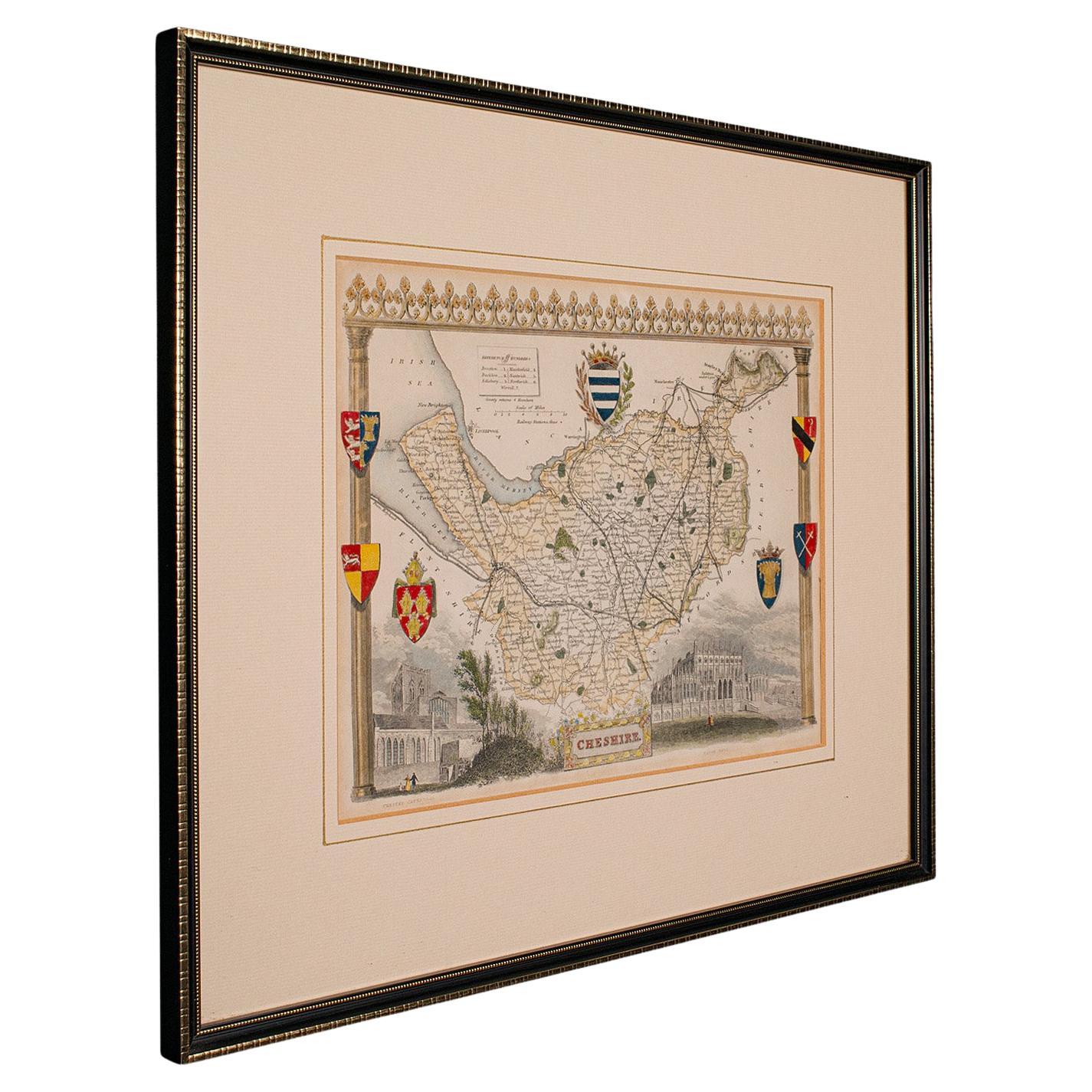
- Antique Lithography Map of Cheshire, English, Framed, Cartography, VictorianLocated in Hele, Devon, GBThis is an antique lithography map of Cheshire. An English, framed atlas engraving of cartographic interest, dating to the mid 19th century and lat...Category
Antique Mid-19th Century British Victorian Maps
MaterialsWood
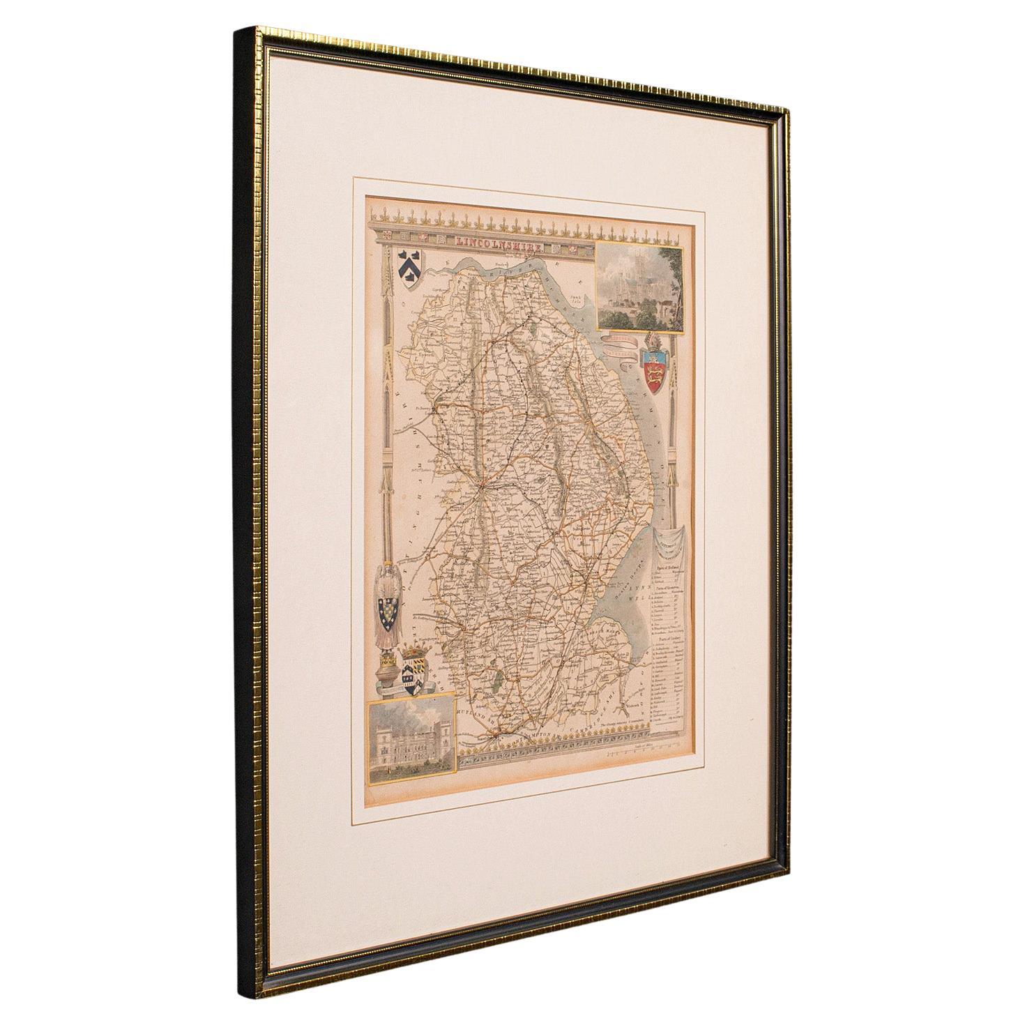
- Antique Lithography Map, Lincolnshire, English, Framed, Engraving, CartographyLocated in Hele, Devon, GBThis is an antique lithography map of Lincolnshire. An English, framed atlas engraving of cartographic interest, dating to the mid 19th century and...Category
Antique Mid-19th Century British Victorian Maps
MaterialsWood
- Antique Lithography Map, Northumberland, English, Framed, Engraving, CartographyLocated in Hele, Devon, GBThis is an antique lithography map of Northumberland. An English, framed atlas engraving of cartographic interest, dating to the mid 19th century a...Category
Antique Mid-19th Century British Victorian Maps
MaterialsWood
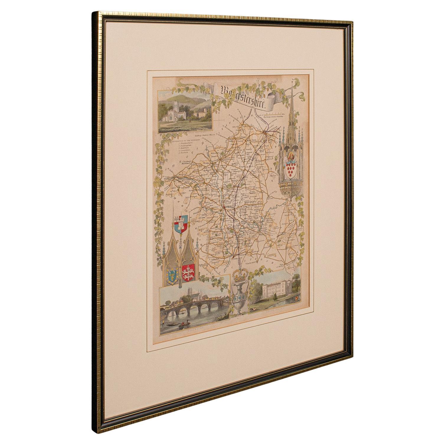
- Antique Lithography Map, Worcestershire, English, Framed Engraving, CartographyLocated in Hele, Devon, GBThis is an antique lithography map of Worcestershire. An English, framed atlas engraving of cartographic interest, dating to the early 19th centur...Category
Antique Early 19th Century British Regency Maps
MaterialsWood
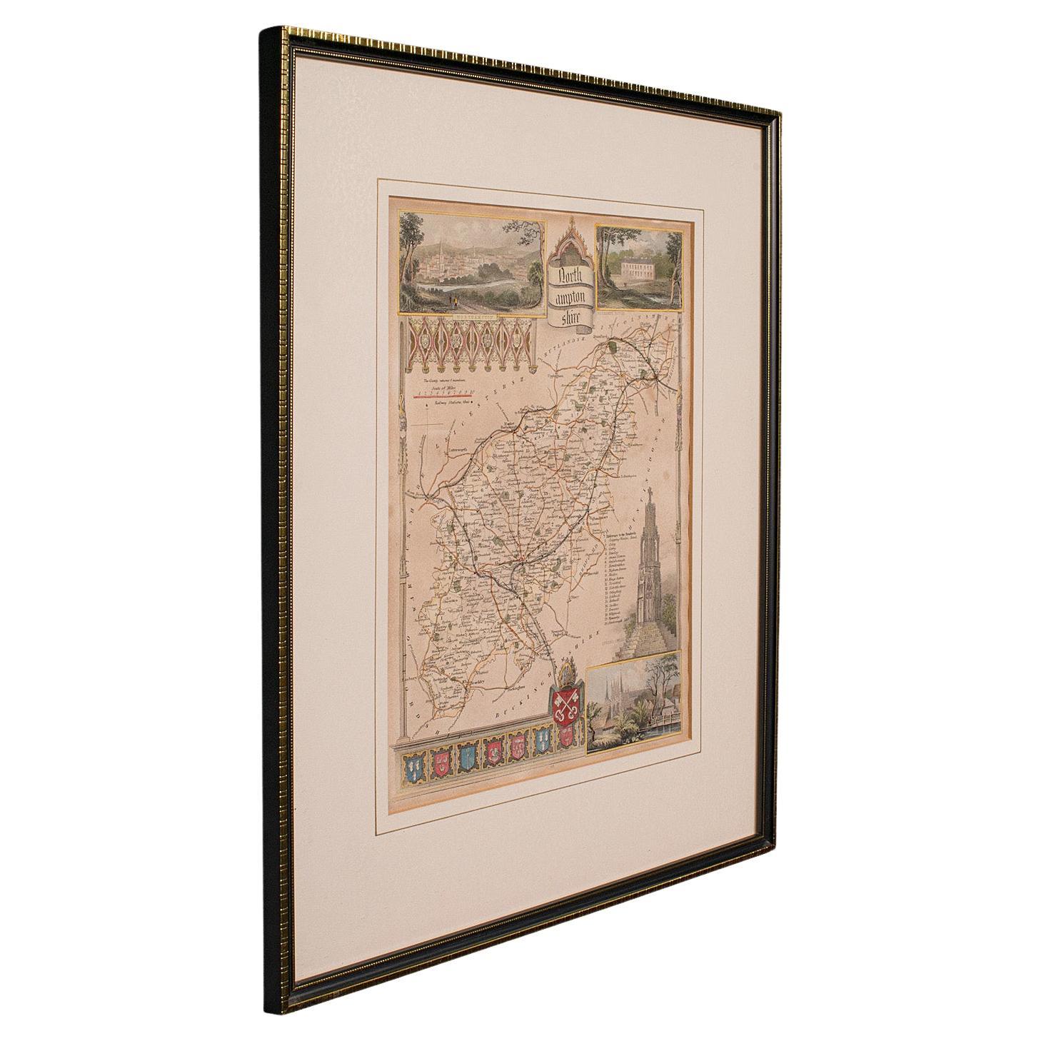
- Antique Lithography Map, Northamptonshire, English, Framed Cartography, C.1860Located in Hele, Devon, GBThis is an antique lithography map of Northamptonshire. An English, framed atlas engraving of cartographic interest, dating to the mid 19th century...Category
Antique Mid-19th Century British Victorian Maps
MaterialsWood
- Antique Lithography Map, Bedfordshire, English, Framed Engraving, CartographyLocated in Hele, Devon, GBThis is an antique lithography map of Bedfordshire. An English, framed atlas engraving of cartographic interest, dating to the mid 19th century and...Category
Antique Mid-19th Century British Victorian Maps
MaterialsWood


You May Also Like
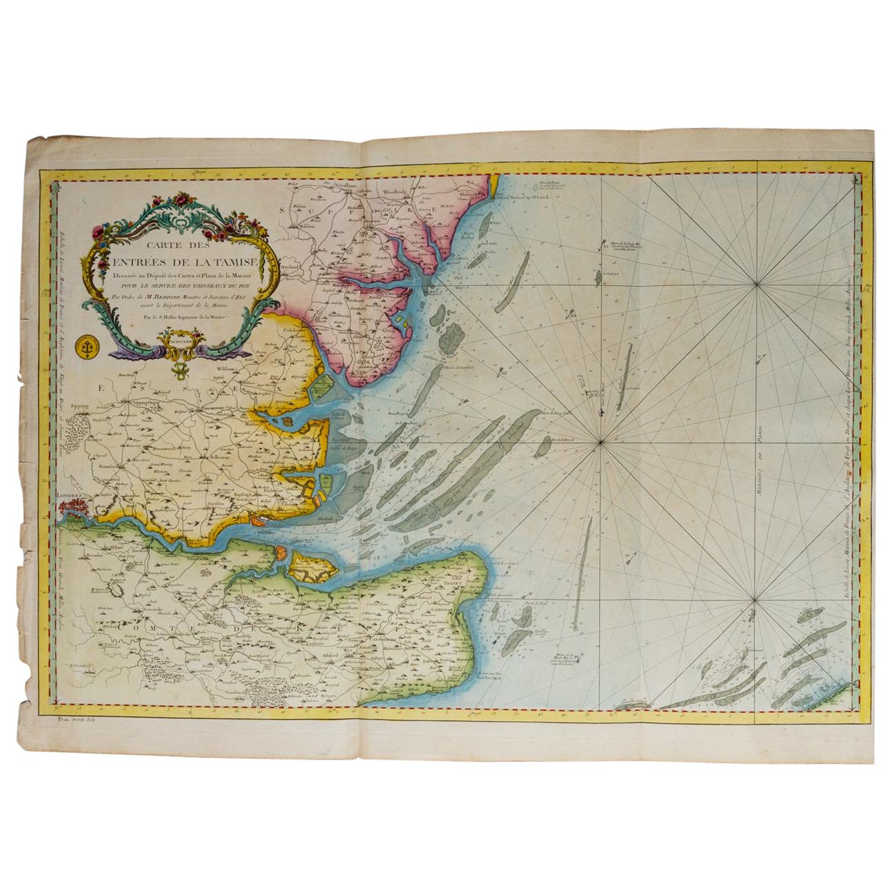
- Map "Estuary- Mouth of the Thames"Located in Alessandria, PiemonteST/426 - Antique French Map of the estuary of the Thames, map dated 1769 - "Mape of the entrance of the Thames. Designed by filing of Navy cards fo...Category
Antique Mid-18th Century French Other Prints
MaterialsPaper
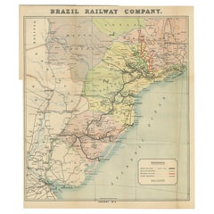
- Antique Map of the Brazil Railway Company, '1912'Located in Langweer, NLAntique map titled 'Brazil Railway Company'. This folding map is attached to the booklet titled 'The Brazil Railway Company'. It is a memorandum by A. H. A. Knox-Little, who was the ...Category
Early 20th Century Maps
MaterialsPaper
- Ancient Cartography of the Indian Subcontinent, Published in 1880Located in Langweer, NLThis map is titled "INDIA," and it provides a detailed view of the Indian subcontinent with various inset maps that offer additional historical and geographical context. The main ma...Category
Antique 1880s Maps
MaterialsPaper
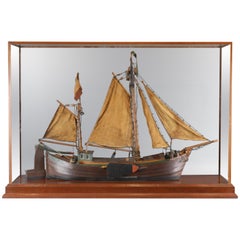
- Antique Model of a Thames River BargeLocated in Norwell, MALate 19th century model of Thames River trading vessel. Rigged with linen sails, standing and running cords, covered hatches, anchors, lee boards etc. Me...Category
20th Century Nautical Objects
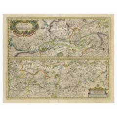
- Antique Map of the of the Course of the Albis River 'or Elbe River'By Johannes JanssoniusLocated in Langweer, NLAntique map titled 'Albis Fluvius Germaniae celebris A Fontiubus Ad Ostia, Cum Fluminibus ab utroque latere in illum fluenibus descriptus'. Detailed map of the course of the Albis Ri...Category
Antique Mid-17th Century Maps
MaterialsPaper
- Cartographic Elegance of the Mughal Dominion in a Hand-Colored Antique Map, 1705Located in Langweer, NLThis original antique map titled “'T Ryk van den Grooten Mogol” by Nicolas Sanson from 1705 is an interesting historical artifact. It depicts the extent of the Mughal Empire in North...Category
Antique Early 1700s Maps
MaterialsPaper


Recently Viewed
View AllMore Ways To Browse
Lauritz Andersen Ring
Louis Vuitton Outdoor 2022
Little Leather Bound Books
Monte Cristo
Viking Rose
Chaddock Home
Louis Vuitton Look Book
Van Tho
Yohji Yamamoto 2021
Zeiss Ikon Camera
Alex Papachristidis
Alexandre Reza
Andree Putnam
Ann Lowe Dress
Ceo Louis Vuitton
Ceo Of Louis Vuitton
Daniel Ost
Destination Art 500 Artworks Worth The Trip