Items Similar to Original Antique Map of Brasil, Published in the 16th Century, 1561


Want more images or videos?
Request additional images or videos from the seller
1 of 6
Original Antique Map of Brasil, Published in the 16th Century, 1561
About the Item
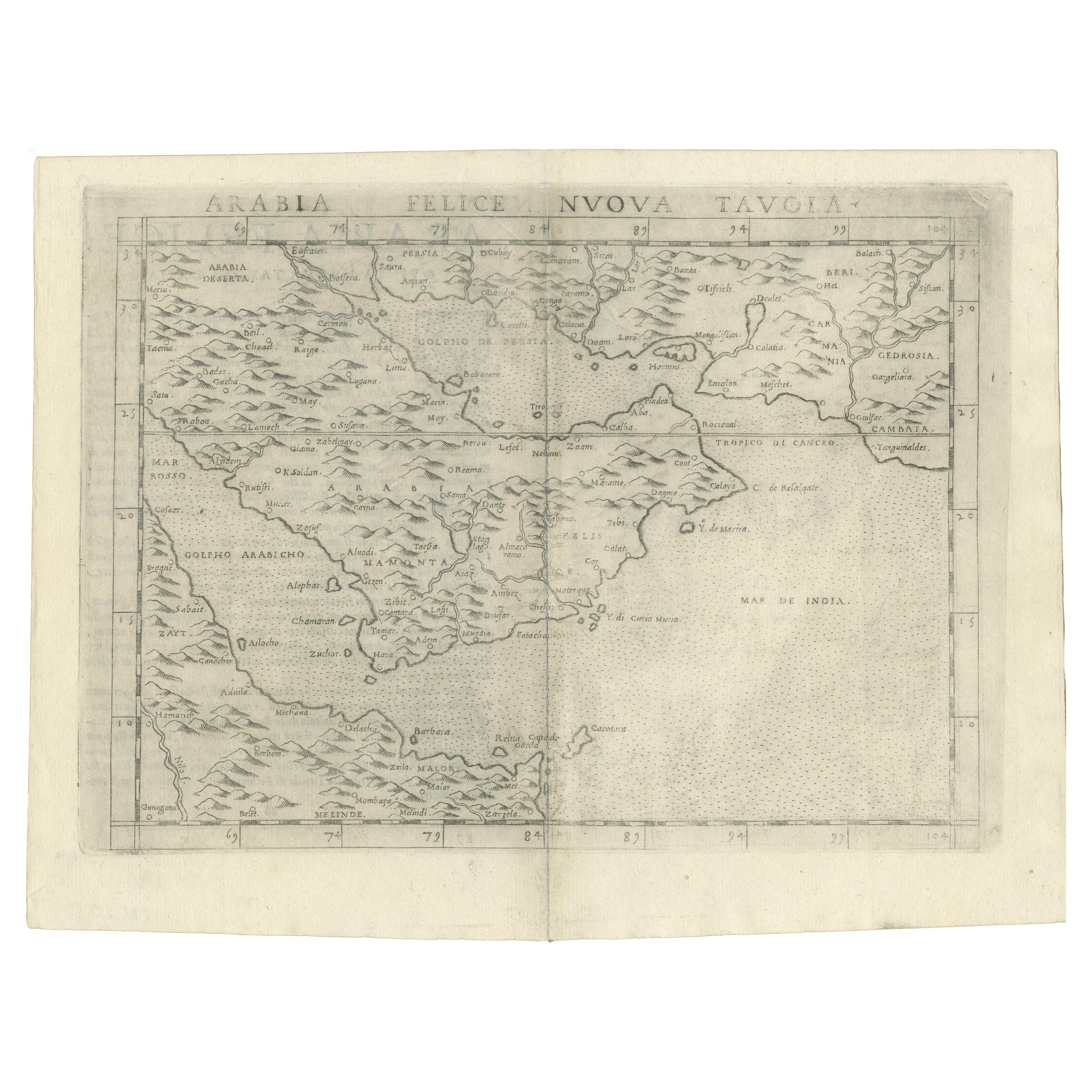
This important Ruscelli map of Brazil, from his work La Geografia di Claudio Tolomeo Alessandrino, is one of the earliest obtainable modern maps of the region. Despite the paucity of detail, this is a fascinating map.
Oriented west, the map reveals some interesting topographical misconceptions and/or lack of knowledge of the true topography of the region. A detail which immediately catches the eye is the direction in which the Amazon River flows, from south to north rather than west to east. Its origin is depicted as a lake at the foot of an active volcano, near to which is another lake, depicted as the source of the river La Plata.
Some mountainous regions are denoted, but the rain forest of the Amazon, its density, would seem to have not yet been realized as forested areas are remote from one another rather than contiguous. The mountains of Brazil are a bit exaggerated, but farther to the south suggest the northern end of the Andes. Place names dot the coastline, identifying cities, capes and estuaries of a number of rivers. Place names including capes and names of river systems are delineated.
An interesting note in Italian in the centre of the map states that ‘The Indians native to these countries eat human meat.’ There is descriptive text in Italian on the verso.
Girolamo Ruscelli (1500s-1566) was an Italian polymath, humanist, editor, and cartographer active in Venice during the early 16th century. Ruscelli is best known for his important revision of Ptolemy's Geographia, published posthumously in 1574.
- Dimensions:Height: 8.67 in (22 cm)Width: 11.82 in (30 cm)Depth: 0 in (0.02 mm)
- Materials and Techniques:Paper,Engraved
- Period:1660-1669
- Date of Manufacture:1561
- Condition:Brazil itself is a strong impression, with some loss of clarity in portions of the vertical folding line in the middle. Slight discoloration of the centerfold. Nevertheless a very interesting and decorative view of Brasil of the 16th century.
- Seller Location:Langweer, NL
- Reference Number:Seller: BG-136211stDibs: LU3054337348622
About the Seller
5.0
Platinum Seller
These expertly vetted sellers are 1stDibs' most experienced sellers and are rated highest by our customers.
Established in 2009
1stDibs seller since 2017
1,919 sales on 1stDibs
Typical response time: <1 hour
- ShippingRetrieving quote...Ships From: Langweer, Netherlands
- Return PolicyA return for this item may be initiated within 14 days of delivery.
Auctions on 1stDibs
Our timed auctions are an opportunity to bid on extraordinary design. We do not charge a Buyer's Premium and shipping is facilitated by 1stDibs and/or the seller. Plus, all auction purchases are covered by our comprehensive Buyer Protection. Learn More
More From This SellerView All
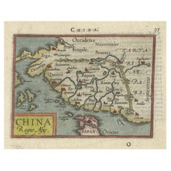
- Rare 16th Century Original Handcolored Miniature Map of China, Published in 1593Located in Langweer, NLVery handsome original old coloured copper engraving of China. The northern part of Japan is projected as well. Many cities and areas are mentioned in the old spelling, incl Malacca,...Category
Antique 16th Century Maps
MaterialsPaper
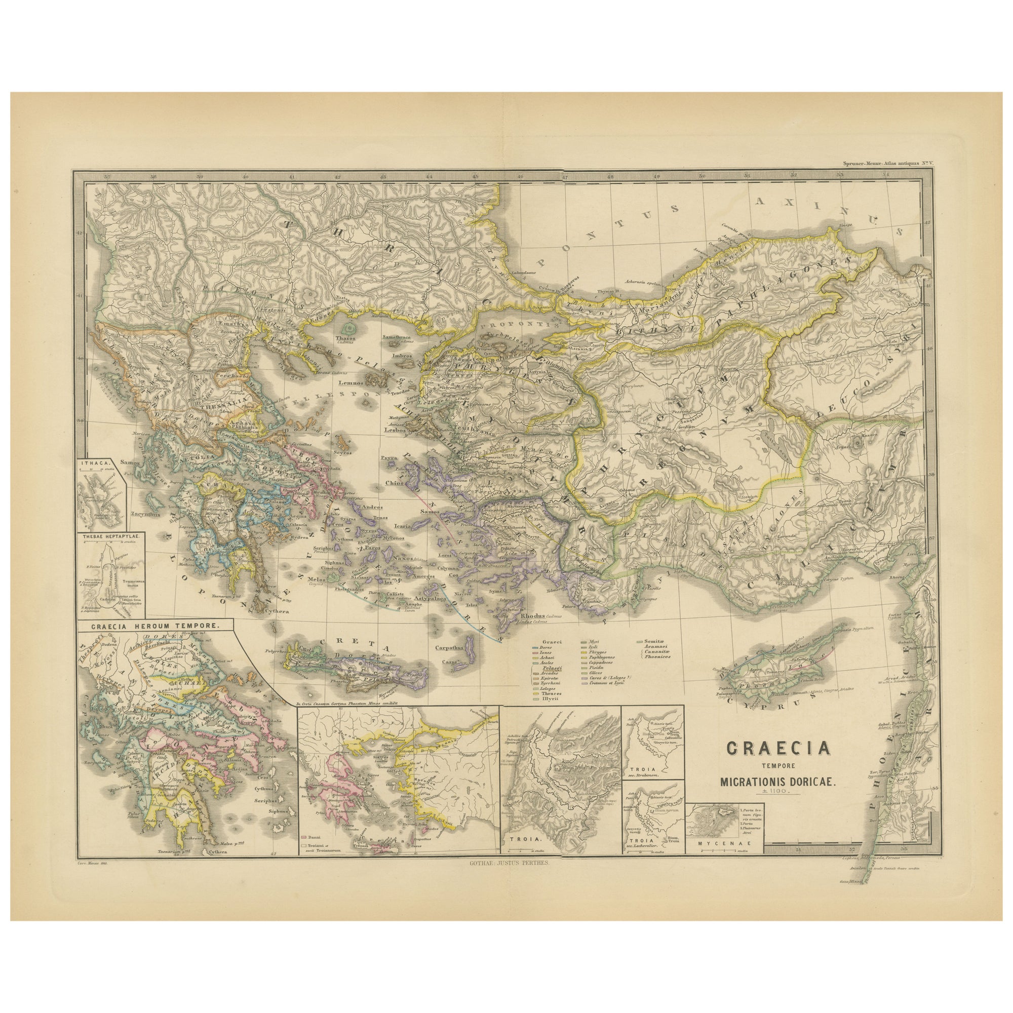
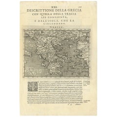
- Rare Original 16th Century Antique Map of Greece, 1598Located in Langweer, NLBeautiful and rare antique map of Greece with Albania, Mecedonia, Romania, Dalmatia and the peninsula of Salento to the Golf of Taranto. Also clearly shown the islands of the Aegaian...Category
Antique 16th Century Maps
MaterialsPaper
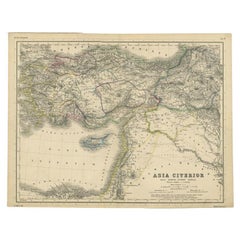
- Original Antique Map of the Middle East, Published in Germany, c.1870Located in Langweer, NLAntique map titled 'Asia Citerior'. Old map of the Middle East. This map originates from 'Atlas Antiquus, twaalf kaarten behoorende bij de Oude Geschiedenis'. Artists and Engravers...Category
Antique 19th Century Maps
MaterialsPaper
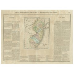
- Original Antique Map of the State of New Jersey Published in FranceLocated in Langweer, NLOriginal antique map titled 'Carte Géographique Statistique et Historique du New-Jersey'. One of the earliest obtainable maps of the State of New Jersey published outside of the Unit...Category
Antique Early 19th Century Maps
MaterialsPaper
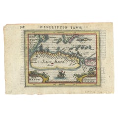
- Rare 16th Century Original Handcolored Miniature Map of Java, Indonesia, 1616Located in Langweer, NLVery handsome original old coloured copper engraving by Bertius of the island of Java in the early days of the Dutch colonisation - at that time named The Dutch East Indies or nowada...Category
Antique 1610s Maps
MaterialsPaper
- Original Antique Map of Southern Asia, Published in 1833Located in Langweer, NLAntique map titled 'Carte de l'Inde'. Detailed map extending from India in the west to Vietnam and the Malay Peninsula in the east. This map originates from 'Atlas universel de geogr...Category
Antique Mid-19th Century Maps
MaterialsPaper

You May Also Like
- Engraving Depicting 16th Century Map of Terra SanctaLocated in Buchanan, MIAbraham Ortelius (Flemish, 1527-1598) Terra Sancta. Engraving depicting 16th century map of Terra Sancta. Site 15" x 19.5.Category
Antique 18th Century and Earlier Maps
MaterialsPaper
- Northern Scotland: A 16th Century Hand-colored Map by MercatorBy Gerard MercatorLocated in Alamo, CAA framed hand-colored 16th century map of Northern Scotland by Gerard Mercator entitled "Scotiae pars Septentrionalis", published in Amsterdam in 1636. It is a highly detailed map of the northern part of Scotland, with the northwest Highlands and the cities Inverness and Aberdeen, as well as the Orkney Islands and the Hebrides. There is a decorative title cartouche in the upper left corner. The map is presented in an antiqued brown wood...Category
Antique 16th Century Dutch Maps
MaterialsPaper
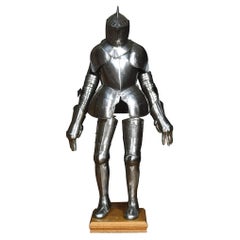
- Suit of 16th Century Style ArmourLocated in Cheshire, GBA suit of 16th century style armour, the helmet with pierced visor, raised comb applied and twist border collar, two-piece breastplate with medial ridge, twist border shoulder plates...Category
Antique 19th Century British Arms, Armor and Weapons
MaterialsMetal
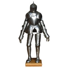
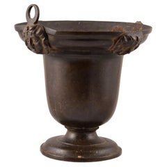
- Bronze Situla, 16th CenturyLocated in Madrid, ESAcetre. Bronze. Century XVI. Bronze piece that has a circular foot, and a circular body, with an outwardly hollowed mouth at the top, and a decoration in relief in this last area o...Category
Antique 16th Century European Renaissance Religious Items
MaterialsBronze
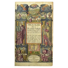
- Hand-colored 16th century copy of the famous Moerentorf BibleBy Henry MoretLocated in ZWIJNDRECHT, NLPublisher: Daniel Vervliet and Hendrik Swingen for Jan I Moretus & Jan I van Keerberghen Place / Date: Antwerp, 1599 Biblia sacra. Dat is de geheele heylighe schrifture bed...Category
Antique 16th Century Belgian Baroque Books
MaterialsWood, Paper


Recently Viewed
View AllMore Ways To Browse
Antique Map Of North And East Asia 1751
Map Of Mississippi
Bedfordshire Antique Map
Auge En Pierre
Covens & Mortier On Sale
Larousse Universel
Staffordshire Antique Map
Staffordshire Map
Tam Austria
Antique Furniture Manitoba
Nova Hollandia
William Wyld
Matthew Seutter On Sale
Menorca Map
Pierre Fran�ois Tardieu On Sale
Rand Mcnally Map Of Kansas
Sumba Map
1681 Moses Pitt