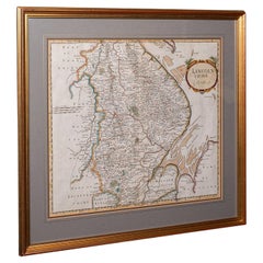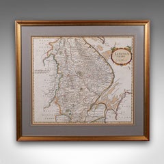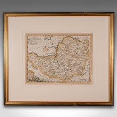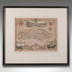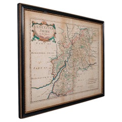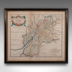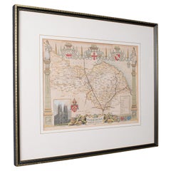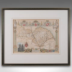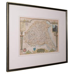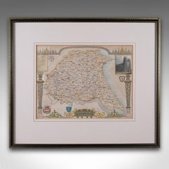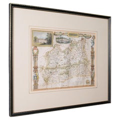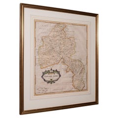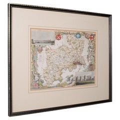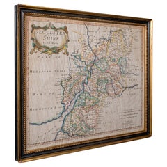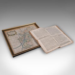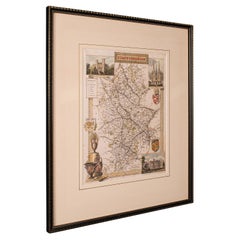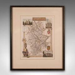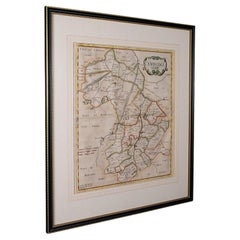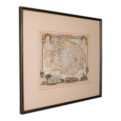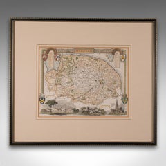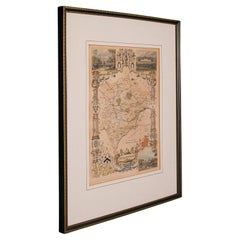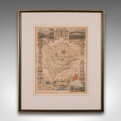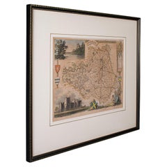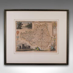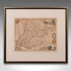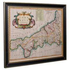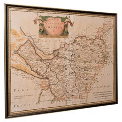
Antique Lithography Map, Buckinghamshire, English, Framed Cartography, Victorian
$550Sale Price|20% Off
Antique Lithography Map, Buckinghamshire, English, Framed Cartography, Victorian
Located in Hele, Devon, GB
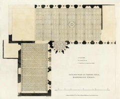
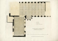
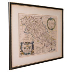
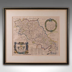
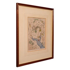
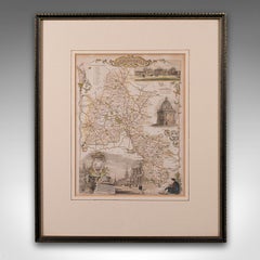
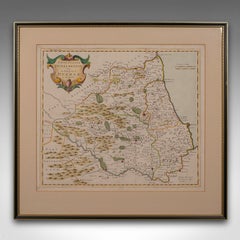
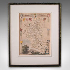
This is an antique lithography map of Buckinghamshire. An English, framed atlas engraving of cartographic interest, dating to the mid 19th century and later.
Category
Antique Mid-19th Century British Victorian Maps
Materials
Wood, Paper