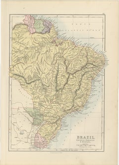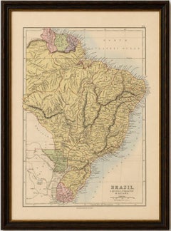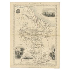

Antique Map of British Guayana with Insets of Georgetown, Devil's Rock Etc, 1851
Located in Langweer, NL
Antique map titled ‘British Guayana’. Includes decorative vignettes titled Georgetown, Christmas Cataract River Berbice, New Amsterdam and Ataraipu or the Devil’s Rock.
Category
Antique Mid-19th Century British Maps
Materials
Paper